Interviews are opportunities to demonstrate your expertise, and this guide is here to help you shine. Explore the essential Site Surveys and Condition Assessments interview questions that employers frequently ask, paired with strategies for crafting responses that set you apart from the competition.
Questions Asked in Site Surveys and Condition Assessments Interview
Q 1. Describe your experience conducting site surveys for various project types.
My experience in conducting site surveys spans a wide range of project types, including residential, commercial, and industrial developments, as well as infrastructure projects such as roads and bridges. I’ve worked on new construction projects, renovations, and even demolition projects, each requiring a slightly different approach to the survey. For instance, a new construction site survey focuses on topography, utility location, and site access, while a renovation project requires a detailed assessment of the existing structure’s condition and dimensions. In infrastructure projects, I’ve utilized specialized equipment to ensure accurate data collection for design and planning. Each project’s unique characteristics demand a tailored survey strategy for optimal results. For example, in a recent project involving the construction of a large warehouse, the survey involved not only topographic mapping but also a detailed analysis of soil conditions to ensure the foundation could support the building’s weight. In another project involving the renovation of a historic building, the survey involved meticulous documentation of architectural details and the identification of any existing structural issues.
Q 2. Explain the different types of site survey equipment you’re familiar with.
I’m proficient in using a variety of site survey equipment, ranging from basic tools to sophisticated technology. This includes:
- Total Stations: These electronic instruments accurately measure distances and angles, providing precise coordinates for mapping and surveying.
- GPS/GNSS Receivers: These provide highly accurate location data using satellite signals, crucial for large-scale projects and mapping.
- Leveling Instruments: Used to determine elevations and establish benchmarks for accurate grading and construction.
- Laser Scanners: Capture 3D point clouds of the site, providing a highly detailed and comprehensive representation of the existing conditions.
- Drone Technology (UAVs): Equipped with high-resolution cameras, drones offer efficient aerial photography and videography, creating orthomosaics and digital elevation models.
- Measuring Tapes and Rulers: Essential for smaller-scale measurements and detailed documentation.
The selection of equipment depends heavily on the project’s scope, complexity, and required level of detail. For example, a small residential project might only require measuring tapes and a level, while a large infrastructure project would necessitate the use of total stations, GPS receivers, and potentially even laser scanners.
Q 3. How do you ensure accuracy and completeness in your site survey reports?
Accuracy and completeness in my site survey reports are paramount. I ensure this through a multi-faceted approach:
- Rigorous Data Collection: I meticulously document all measurements, observations, and photographs using standardized procedures and templates. I utilize multiple methods for verification, such as comparing GPS data to total station measurements.
- Clear and Concise Documentation: My reports include detailed sketches, photographs, and tables summarizing all findings. All information is clearly labeled and referenced.
- Quality Control Checks: I perform thorough internal reviews to identify and correct any inconsistencies or errors before finalizing the report. This might include cross-checking measurements, reviewing photographs for anomalies, and comparing data against existing plans or documents.
- Use of Software: I utilize CAD software (e.g., AutoCAD, Revit) and GIS software (e.g., ArcGIS) to process the collected data and create accurate maps and drawings. These tools aid in identifying potential discrepancies.
- Client Communication: I engage in open communication with the client throughout the process, confirming understanding and addressing any questions or concerns.
For example, in one project, a discrepancy was found between the as-built drawings and the actual field measurements. By carefully documenting and reporting this inconsistency, the client was able to make informed decisions during the design phase, preventing potential delays and cost overruns.
Q 4. What are the key factors to consider when conducting a pre-construction site survey?
Pre-construction site surveys are crucial for project success. Key factors I consider include:
- Topography and Site Grading: Accurate assessment of the land’s elevation and slope is essential for foundation design and site preparation.
- Utility Location: Identifying underground utilities (water, sewer, gas, electric) prevents damage during excavation and ensures safe construction.
- Access and Site Constraints: Evaluating access points, existing structures, and potential obstructions (trees, rocks) helps plan logistics and construction methods.
- Environmental Considerations: Identifying sensitive environmental areas (wetlands, protected species habitats) helps avoid legal and environmental issues.
- Soil Conditions: Testing soil properties (bearing capacity, drainage) guides foundation design and construction techniques.
- Existing Structures: Detailed documentation of any existing buildings or structures to avoid unforeseen conflicts during construction.
For instance, during a pre-construction survey for a residential project, identifying a buried utility line prevented a potential accident and costly repairs during excavation. Similarly, assessing the site’s slope helped determine the appropriate foundation type, ensuring structural stability and preventing potential problems later.
Q 5. How do you identify and document potential hazards during a site survey?
Identifying and documenting potential hazards is a critical aspect of any site survey. My approach involves:
- Visual Inspection: Careful observation of the site to identify obvious hazards like exposed wiring, unstable structures, or hazardous materials.
- Documentation with Photographs and Sketches: Detailed documentation of all identified hazards, including location, type, and potential risks.
- Environmental Risk Assessment: Considering potential environmental hazards like asbestos, lead paint, or contaminated soil.
- Use of Specialized Equipment: Employing equipment such as gas detectors or asbestos testing kits, where necessary.
- Reporting and Recommendations: Clearly outlining all identified hazards in the report, along with recommendations for mitigation or remediation.
For example, during a survey for a demolition project, I identified the presence of asbestos-containing materials. This critical finding was immediately reported, enabling the client to incorporate appropriate safety protocols and disposal procedures into the demolition plan, ensuring worker safety and environmental compliance.
Q 6. Describe your experience with different types of condition assessments (e.g., visual, invasive).
My experience encompasses various condition assessment methods, both visual and invasive. Visual assessments involve non-destructive inspections using tools like cameras and binoculars to observe the building’s exterior and interior for defects. Invasive assessments, on the other hand, involve taking samples, like core samples from concrete or wood, to test for material degradation, moisture content, and other issues requiring closer inspection. I’m also experienced in using advanced technologies, such as infrared thermography to detect thermal anomalies that suggest problems like moisture ingress or faulty insulation.
Visual inspections are often the first step in any condition assessment. They help identify readily observable issues such as cracks in walls, deteriorated paint, or signs of water damage. Invasive assessments then follow if needed to confirm initial findings, determine the extent of damage, and get the specific material properties. For example, if cracks are found in a concrete foundation, core samples will help determine the level of degradation and allow for better decision making on repairs or replacements. These methods are complementary and I select the appropriate approach based on the project’s needs and the specific concerns regarding the building.
Q 7. Explain the process you follow when performing a condition assessment of a building.
My process for performing a building condition assessment is systematic and thorough. It typically involves these steps:
- Initial Review: Reviewing architectural plans, previous inspection reports, and any available documentation.
- Visual Inspection: Thoroughly inspecting the building’s exterior and interior, noting all visible signs of deterioration, damage, or deficiencies.
- Non-Destructive Testing (NDT): Utilizing various NDT methods, such as moisture meters, infrared thermography, and ultrasonic testing, to detect hidden problems.
- Invasive Testing (if required): Collecting samples for laboratory analysis to determine the extent of damage and material properties.
- Data Compilation and Analysis: Organizing the collected data, including photographs, measurements, and test results.
- Report Preparation: Creating a detailed report summarizing the building’s condition, identifying deficiencies, and providing recommendations for repairs or preventative maintenance.
Each step of the assessment is crucial. For instance, a thorough visual inspection might reveal water staining on the ceiling, suggesting a leak in the roof. Then infrared thermography can be used to pinpoint the leak’s location, and core samples may be taken to assess the damage to the affected structural elements. The final report will outline all findings and provide an assessment of the building’s overall condition and a prioritized list of needed repairs, helping clients plan effectively.
Q 8. How do you prioritize deficiencies found during a condition assessment?
Prioritizing deficiencies found during a condition assessment is crucial for efficient resource allocation and risk management. We typically use a multi-faceted approach, combining severity, urgency, and potential impact.
- Severity: This assesses the extent of damage or malfunction. A critical structural crack, for example, is far more severe than minor cosmetic damage. We use a rating system (e.g., 1-5, with 1 being minor and 5 being critical).
- Urgency: This considers the immediacy of the issue. A leaking roof causing immediate water damage is far more urgent than a worn paint job. We consider factors like the risk of further damage or safety hazards.
- Potential Impact: This considers the consequences of inaction. A failing HVAC system in a hospital has far greater potential impact than a similar system in an office building. We consider factors such as health and safety risks, business disruption, and financial consequences.
We often use a matrix combining these factors to visually prioritize deficiencies. For instance, a high-severity, high-urgency, and high-impact issue would automatically rank as a top priority, requiring immediate attention. A low-severity, low-urgency, low-impact issue might be scheduled for later repair or maintenance.
Q 9. How do you communicate your findings from site surveys and condition assessments effectively?
Effective communication of findings is paramount. We strive for clarity, conciseness, and visual appeal. Our reports typically include:
- Executive Summary: A high-level overview of key findings and recommendations.
- Detailed Findings: A section with clear descriptions of each deficiency, including photos, sketches, and precise location within the building.
- Prioritized Recommendations: A prioritized list of recommended actions, including estimated costs and timelines.
- Visual Aids: We utilize high-quality photos, diagrams, and floor plans to illustrate the findings clearly and efficiently. Software allows us to highlight problem areas directly on images.
- Appendices: Detailed supporting documentation such as test results, manufacturer specifications, or relevant building codes.
We also conduct a presentation or meeting to explain the findings directly to the client, addressing their questions and concerns. This personal interaction ensures that the client understands the report and feels comfortable moving forward with any recommended actions.
Q 10. What software and tools do you use for data collection and reporting in site surveys?
For data collection and reporting, we utilize a suite of software and tools tailored to the specific needs of each project. Some examples include:
- Mobile Data Collection Apps: These apps allow us to record data, take photos, and generate reports directly in the field, reducing data entry time and errors. Examples include PlanGrid and BuildingConnected.
- Digital Mapping Software: Software like AutoCAD or Revit are useful for creating detailed floor plans and incorporating our findings directly onto the building drawings.
- Spreadsheet Software (Excel, Google Sheets): Essential for organizing and managing large datasets of condition assessments. We often use spreadsheets to create matrices for prioritization and cost estimation.
- Reporting Software: We use dedicated reporting software or word processors (like Microsoft Word or Google Docs) to create professional, visually appealing, and easily understandable reports.
- 3D Scanning Technology: In complex projects, we leverage 3D scanning to create accurate as-built models, which are then used for analysis and reporting.
The selection of tools depends on project scope, budget, and client preferences. The key is to integrate the tools seamlessly to ensure efficient data flow and accurate reporting.
Q 11. Describe a time you had to overcome a challenge during a site survey or condition assessment.
During a recent assessment of a historic building, we encountered unexpected asbestos during demolition of a non-load-bearing wall. This was not indicated in prior documentation.
The immediate challenge was ensuring the safety of our team and the surrounding areas. We immediately stopped work and contacted an asbestos abatement specialist. The next step involved revising our assessment methodology to incorporate more rigorous asbestos testing for future projects in similar structures. This unexpected discovery led to delays and additional costs but also highlighted the importance of thorough due diligence and proactive risk management in all building inspections. We learned to add asbestos testing as a standard procedure during initial assessments of older buildings, preventing such disruptions in the future.
Q 12. How do you handle conflicting information or discrepancies during a site survey?
Conflicting information is common in older buildings with multiple renovations or incomplete records. Our approach is systematic:
- Document Verification: We meticulously review all available documentation, cross-referencing sources to identify inconsistencies and potential inaccuracies.
- On-Site Investigation: We conduct a thorough visual inspection of the building, confirming or refuting the information found in the documentation. We look for physical evidence that supports or contradicts the existing data.
- Non-Destructive Testing (NDT): Where necessary, we use NDT methods (e.g., ground-penetrating radar, thermal imaging) to gain more detailed insights into the building’s condition without causing damage.
- Consult Expert Opinions: In complex cases, we consult with specialists (structural engineers, material scientists) to provide independent expert opinions on conflicting information.
- Transparency in Reporting: We clearly document all conflicting information and our process for resolving discrepancies in our final report, ensuring that the client is fully aware of any uncertainties.
Our goal is not to eliminate all uncertainties, but to clearly identify and document all potential issues, allowing informed decision-making by our clients.
Q 13. Explain your understanding of building codes and regulations relevant to site surveys.
Understanding building codes and regulations is fundamental to accurate and reliable site surveys and condition assessments. This knowledge ensures compliance and allows for identification of potential safety and legal issues.
We are familiar with various codes and standards, including but not limited to the International Building Code (IBC), accessibility regulations (ADA), fire codes, and local ordinances. These codes dictate minimum standards for construction, maintenance, and safety. During our assessments, we identify any deviations from these codes, noting potential hazards and necessary corrective actions. For instance, we might identify a lack of fire-rated separations in a building, a violation of the fire code, or accessibility issues violating ADA standards. This information is then included in our report, with clear recommendations for remediation.
Q 14. How do you determine the appropriate level of detail required for a site survey report?
The level of detail in a site survey report depends on the project’s scope, objectives, and client requirements. A simple visual inspection of a small residential property requires far less detail than a comprehensive structural assessment of a large commercial building.
- Project Scope: A limited-scope assessment focusing on specific systems (e.g., HVAC) requires a focused report with less detail on other building aspects.
- Client Needs: Clients might request varying levels of detail depending on their needs. A potential buyer might require a less detailed report compared to a property manager needing comprehensive data for maintenance planning.
- Regulatory Requirements: Some projects may be subject to specific regulatory requirements, dictating the level of detail and information needed in the report.
We tailor the detail to answer the client’s questions and meet the specific project goals. We always maintain a balance between providing sufficient information for informed decision-making and avoiding unnecessary detail that could dilute critical findings. Clear communication with the client beforehand is crucial to determine the appropriate level of detail and ensure everyone is on the same page.
Q 15. What is your experience with different types of survey methodologies (e.g., topographic, as-built)?
My experience encompasses a wide range of survey methodologies, crucial for accurate site characterization. Topographic surveys, using techniques like total station surveying and GPS, provide detailed elevation data, essential for grading, drainage design, and utility placement. I’ve extensively used these methods for large-scale projects like highway alignments and building site preparation. As-built surveys, on the other hand, document existing conditions after construction, verifying compliance with design plans and identifying any discrepancies. This is vital for facility management, renovations, and insurance purposes. I’m also proficient in utilizing laser scanning for rapid data acquisition and creating highly accurate 3D models of complex sites, which is particularly useful for large or challenging terrains.
For instance, in a recent project involving a historical building renovation, we used a combination of as-built surveys and laser scanning to create a precise 3D model. This enabled us to identify hidden utilities and structural anomalies before starting renovations, saving time and potential costs.
- Topographic Surveys: Essential for establishing ground elevations, creating contour maps, and planning earthworks.
- As-Built Surveys: Verify completed construction against design plans and identify any deviations.
- Laser Scanning: Provides high-density point clouds for precise 3D modeling of complex structures and environments.
Career Expert Tips:
- Ace those interviews! Prepare effectively by reviewing the Top 50 Most Common Interview Questions on ResumeGemini.
- Navigate your job search with confidence! Explore a wide range of Career Tips on ResumeGemini. Learn about common challenges and recommendations to overcome them.
- Craft the perfect resume! Master the Art of Resume Writing with ResumeGemini’s guide. Showcase your unique qualifications and achievements effectively.
- Don’t miss out on holiday savings! Build your dream resume with ResumeGemini’s ATS optimized templates.
Q 16. How do you manage and control costs associated with site surveys?
Cost control in site surveys is paramount. My approach involves a multi-pronged strategy beginning with a clear understanding of project scope and objectives. This defines the necessary level of detail and the appropriate survey methodology, preventing unnecessary expenses. I meticulously prepare detailed scopes of work to ensure all parties are aligned on deliverables and avoid any ambiguities that could lead to change orders. I also leverage technology effectively. For example, using drones for aerial photography can significantly reduce the time and cost associated with traditional ground surveys, especially for large areas. Finally, I constantly evaluate different vendors and technologies to ensure we secure the best value for money without compromising on quality. Prioritizing clear communication with the client ensures everyone is informed about potential cost implications and allows for collaborative decision-making.
For example, on a recent large-scale infrastructure project, using drone imagery instead of traditional ground surveys saved approximately 30% in survey costs while maintaining a high level of accuracy.
Q 17. Explain your experience with using GIS software for data analysis in site surveys.
GIS software is integral to my workflow. I’m proficient in ArcGIS and QGIS, using them for data analysis, visualization, and reporting throughout the entire site survey process. After data collection, I import survey data (points, lines, polygons) into the GIS software. I then use spatial analysis tools to perform tasks such as calculating areas, determining distances, creating buffer zones, and generating various map products. This allows for efficient identification of potential conflicts, such as utility lines or environmental sensitivities, and enables informed decision-making during the project planning phase. For example, overlaying utility lines from different providers on a topographic map quickly highlights potential conflicts during the site excavation phase.
Furthermore, GIS facilitates effective communication by allowing stakeholders to easily visualize and interpret survey data through interactive maps and reports. This improves understanding and reduces potential misunderstandings.
Q 18. How do you maintain safety and compliance during site surveys?
Safety and compliance are non-negotiable. Before any site survey, a thorough risk assessment is conducted, identifying potential hazards such as excavation risks, traffic, and hazardous materials. This assessment informs the development of a site-specific safety plan, outlining protocols for personal protective equipment (PPE), communication procedures, and emergency response. All team members receive training on the safety plan and relevant safety regulations. We adhere strictly to OSHA (or equivalent local) safety regulations and ensure all necessary permits and clearances are obtained before starting the survey. Throughout the survey, regular communication ensures everyone is aware of any potential hazards, and proactive measures are taken to mitigate risks. Incident reporting and near-miss analysis are key to continuous improvement of our safety practices.
For example, when conducting surveys near live power lines, we implement strict procedures that include maintaining a safe distance, using specialized equipment, and having a trained spotter.
Q 19. What is your experience with different types of building materials and their common deficiencies?
My experience encompasses a broad range of building materials and their associated deficiencies. For example, I’m familiar with the common issues in concrete structures, such as cracking due to shrinkage or settlement, corrosion of reinforcement, and spalling. In masonry structures, I look for signs of mortar deterioration, efflorescence (salt deposits), and cracking due to foundation movement. With wood, common problems include rot, insect infestation (termites), and water damage. For roofing materials, I assess the condition of asphalt shingles for signs of wear, tear, and granule loss, and for metal roofing, I check for corrosion and sealant failure. Understanding these common deficiencies is crucial for accurate condition assessments and the development of appropriate repair or remediation strategies.
For instance, during a recent assessment of a multi-story building, I identified significant cracking in the concrete foundation which indicated potential settlement. This was further investigated and remedial work recommended.
Q 20. How do you interpret engineering drawings and specifications relevant to site surveys?
Interpreting engineering drawings and specifications is fundamental to my work. I’m proficient in reading architectural, structural, mechanical, and electrical drawings, understanding symbols, dimensions, and specifications. This is crucial for correlating design intent with existing conditions during site surveys. I’m adept at identifying discrepancies between design documents and the actual conditions on site, which is key to flagging potential problems. For example, I can identify missing details, conflicts between different disciplines’ designs, and deviations from approved plans.
In a recent project, I identified a conflict between the plumbing design and the structural design, which could have resulted in a costly and time-consuming issue had it not been discovered during the survey.
Q 21. Describe your experience with preparing cost estimates based on condition assessment findings.
Based on condition assessment findings, I prepare detailed cost estimates for repair and remediation work. This process starts with a thorough documentation of all identified deficiencies, including their severity and extent. I then utilize my knowledge of construction costs, materials pricing, and labor rates to develop a comprehensive cost breakdown. The estimate includes direct costs (materials, labor, equipment), indirect costs (permits, insurance, overhead), and contingency allowances to account for unforeseen issues. This cost estimation is presented in a clear and concise format, typically using spreadsheets or dedicated estimating software. The goal is to provide the client with a transparent and accurate understanding of the anticipated costs associated with addressing the identified deficiencies.
For example, in a recent assessment of a commercial building, I identified significant water damage in the roof. My cost estimate detailed the costs of roof repair, removal of damaged materials, and interior repairs, providing the client with a clear picture of the financial implications.
Q 22. Explain your understanding of risk assessment related to site surveys and condition assessments.
Risk assessment in site surveys and condition assessments is crucial for identifying potential hazards and liabilities. It’s a systematic process that involves identifying hazards, analyzing their risks, and implementing control measures. This ensures the safety of personnel, protects the client’s assets, and mitigates potential legal issues.
For example, during a survey of an old industrial building, we’d assess risks such as asbestos, structural instability, electrical hazards, and confined spaces. We’d identify the likelihood and severity of each hazard, assigning risk scores. High-risk hazards might require specialized equipment, additional personnel, or even halting the survey until mitigation measures are in place. A risk assessment matrix, often using a colour-coded system (e.g., green for low risk, red for high risk), is typically used to document findings. This matrix guides our decision-making process, ensuring a safe and controlled survey environment.
This systematic approach isn’t just about safety; it also involves assessing the financial risks associated with inaccurate assessments. A missed structural defect could lead to costly repairs later on. The risk assessment minimizes such financial consequences by ensuring thorough examination and documentation.
Q 23. How do you ensure the quality and accuracy of your data collection methods?
Ensuring quality and accuracy in data collection is paramount. We employ a multi-pronged approach involving meticulous planning, standardized procedures, and rigorous quality control checks. This begins with clearly defined objectives and a detailed survey plan, outlining the scope of work, methodologies, and data collection instruments.
- Standardized Procedures: We use checklists and standardized forms to ensure consistency across all surveys. This minimizes human error and allows for easy comparison of data from different sites or time points.
- Calibration and Maintenance of Equipment: All surveying equipment, from laser scanners to moisture meters, undergoes regular calibration and maintenance to guarantee accuracy. We maintain detailed logs documenting these procedures.
- Multiple Data Points and Cross-Verification: We obtain multiple measurements for key parameters and employ cross-verification techniques. For instance, we might use both visual inspection and non-destructive testing (NDT) methods to assess the condition of concrete.
- Data Validation and Review: All collected data undergoes a rigorous validation process, including checks for outliers, inconsistencies, and errors. A senior surveyor reviews all data before report generation.
For instance, when assessing concrete deterioration, we might take multiple readings from different locations using a rebound hammer. Discrepancies are investigated thoroughly before finalising our assessment.
Q 24. How do you work effectively with clients and stakeholders during site surveys?
Effective communication and collaboration with clients and stakeholders are critical for a successful site survey. We establish clear communication channels from the outset, involving regular meetings and updates throughout the project.
- Pre-Survey Meeting: We conduct a thorough pre-survey meeting to discuss project scope, expectations, access requirements, and any potential challenges. This ensures everyone is on the same page.
- On-Site Communication: During the site survey, we maintain open communication with the client and stakeholders, highlighting any unexpected findings or potential issues. We often use photos and videos to facilitate understanding.
- Regular Progress Updates: We provide regular progress updates, both written and verbal, keeping the client informed about the survey’s progress and any significant findings. This transparency fosters trust and ensures that the client remains engaged.
- Post-Survey Meeting: We conduct a post-survey meeting to discuss the findings, recommendations, and next steps. We encourage questions and feedback.
Recently, during a survey of a historic building, I encountered issues with accessing certain areas due to unforeseen renovation works. By immediately communicating this to the client and adjusting our schedule accordingly, we prevented delays and maintained a positive working relationship.
Q 25. Explain your experience with various reporting formats for site survey and condition assessment findings.
I have experience with various reporting formats, adapting to the specific needs of each project. This includes:
- Detailed Technical Reports: These comprehensive reports provide a thorough analysis of the site conditions, including detailed descriptions, photographs, diagrams, and data tables. They are suitable for projects requiring a high level of detail, such as large-scale infrastructure projects.
- Executive Summaries: For clients who need a concise overview of the key findings and recommendations, we provide executive summaries that highlight the most critical aspects of the survey.
- Interactive Digital Reports: For increased engagement, we sometimes create interactive digital reports using GIS software, allowing clients to view 3D models of the site and access data through an intuitive interface.
- Database Reporting: For large-scale projects, we create database reports to efficiently manage and analyse collected data. These reports can be customized for specific analysis requirements.
The choice of reporting format depends on the client’s needs, the complexity of the project, and the intended use of the report. I always strive for clear, concise, and easily understandable reports, regardless of the format chosen.
Q 26. How do you handle unexpected issues or situations encountered during a site survey?
Handling unexpected issues is part of the job. My approach is systematic and prioritizes safety and accurate reporting:
- Assess the Situation: First, we carefully assess the nature and extent of the unexpected issue. This might involve additional on-site investigation.
- Prioritize Safety: If the issue poses a safety risk, we immediately implement appropriate control measures, possibly halting the survey until the risk is mitigated.
- Document Findings: All unexpected findings are meticulously documented with photographs, sketches, and detailed notes. This ensures that the issue is accurately reported.
- Communicate with Stakeholders: We communicate the issue and our proposed course of action to the client and stakeholders. This ensures transparency and collaboration.
- Develop Contingency Plans: We develop contingency plans to address the unexpected issue and minimize its impact on the project timeline and budget.
For example, during a recent survey, we discovered an underground utility line that wasn’t indicated on the available plans. We immediately stopped work in that area, notified the utility company, and documented the finding with detailed photographs and measurements. We then adjusted the survey plan to avoid the affected area.
Q 27. What are the ethical considerations you prioritize when conducting site surveys?
Ethical considerations are paramount in my work. These include:
- Objectivity and Impartiality: We maintain objectivity and impartiality in all our assessments, ensuring that our findings are not influenced by personal biases or external pressures.
- Confidentiality: We treat all client information as confidential, adhering to strict data protection protocols.
- Accuracy and Transparency: We strive for accuracy and transparency in our reports, clearly stating any limitations or uncertainties in our findings.
- Professional Development: We commit to ongoing professional development to maintain our competence and stay updated on the latest industry standards and best practices.
- Conflict of Interest: We carefully manage potential conflicts of interest, ensuring that our assessments are unbiased and independent.
Maintaining the highest ethical standards ensures the credibility and integrity of our work and builds trust with our clients. It’s a cornerstone of our professional practice.
Key Topics to Learn for Site Surveys and Condition Assessments Interview
- Data Acquisition Methods: Understanding various techniques for collecting site data, including photographic documentation, laser scanning, and 3D modeling. Consider the advantages and limitations of each method.
- Condition Assessment Techniques: Mastering visual inspection procedures, non-destructive testing (NDT) methods, and the interpretation of resulting data to accurately assess the condition of structures and assets.
- Reporting and Documentation: Learn how to effectively communicate findings through clear, concise, and professional reports, including detailed descriptions, photographic evidence, and actionable recommendations.
- Software and Technology: Familiarize yourself with relevant software used in site surveys and condition assessments, such as CAD, BIM, and data analysis platforms. Practice interpreting data from these tools.
- Building Codes and Standards: Demonstrate a strong understanding of relevant building codes, industry standards, and safety regulations that influence site surveys and condition assessments. Be prepared to discuss how these affect your work.
- Problem-Solving and Decision-Making: Practice analyzing complex scenarios, identifying potential issues, and proposing effective solutions based on your assessment findings. Prepare examples of how you’ve approached challenging situations.
- Risk Assessment and Mitigation: Understanding how to identify potential hazards on site, assess associated risks, and implement appropriate safety protocols and mitigation strategies.
- Client Communication and Collaboration: Discuss strategies for clear and effective communication with clients, stakeholders, and other professionals involved in the project, emphasizing active listening and collaborative problem-solving.
Next Steps
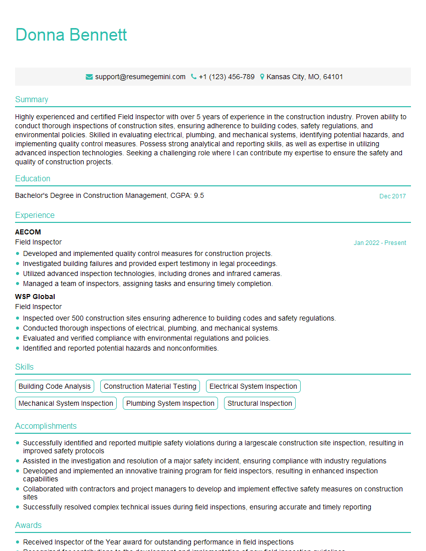
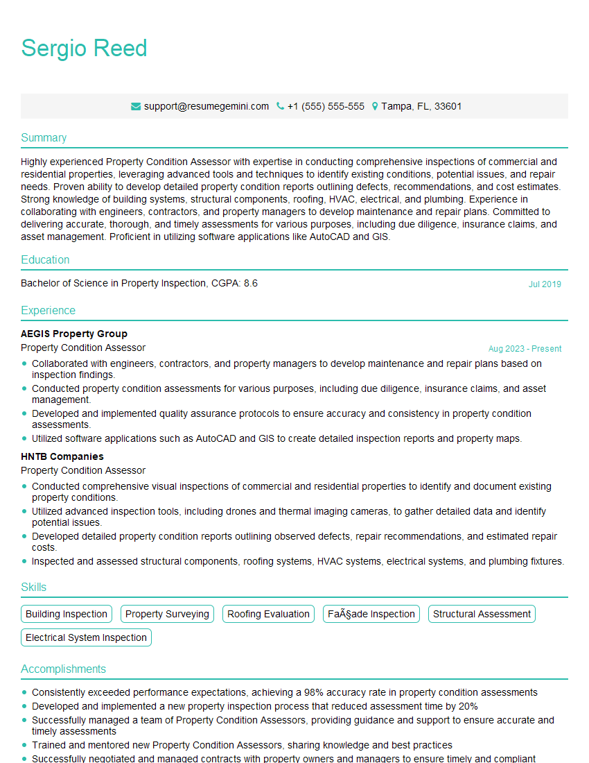
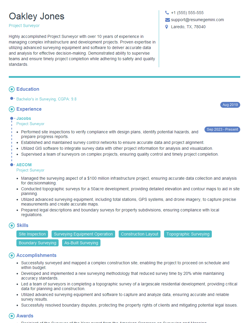
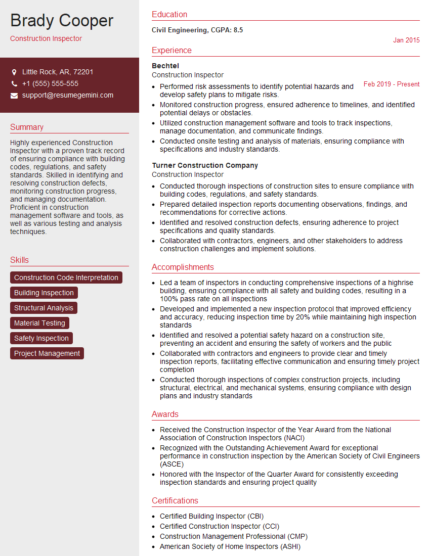
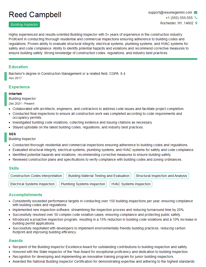
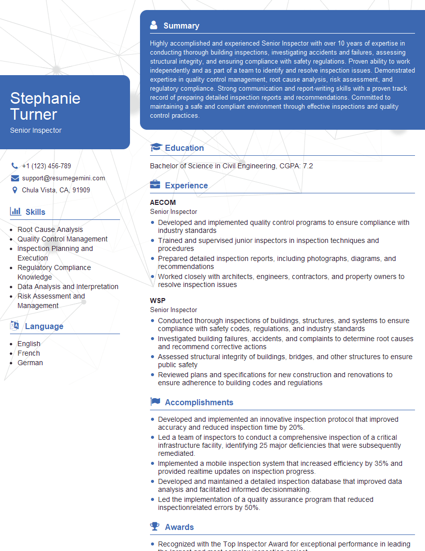
Mastering Site Surveys and Condition Assessments is crucial for career advancement in the construction, engineering, and facilities management sectors. It demonstrates a strong technical skill set and problem-solving abilities highly valued by employers. To maximize your job prospects, create an ATS-friendly resume that effectively highlights your skills and experience. We strongly recommend using ResumeGemini, a trusted resource for building professional resumes. Examples of resumes tailored to Site Surveys and Condition Assessments are available to help guide you in creating a compelling application.
Explore more articles
Users Rating of Our Blogs
Share Your Experience
We value your feedback! Please rate our content and share your thoughts (optional).
What Readers Say About Our Blog
This was kind of a unique content I found around the specialized skills. Very helpful questions and good detailed answers.
Very Helpful blog, thank you Interviewgemini team.
