Preparation is the key to success in any interview. In this post, we’ll explore crucial Water Flow Analysis interview questions and equip you with strategies to craft impactful answers. Whether you’re a beginner or a pro, these tips will elevate your preparation.
Questions Asked in Water Flow Analysis Interview
Q 1. Explain the principles of Bernoulli’s equation and its application in water flow analysis.
Bernoulli’s equation is a fundamental principle in fluid mechanics that describes the relationship between pressure, velocity, and elevation in a flowing fluid. It essentially states that the total energy of a fluid remains constant along a streamline, assuming no energy losses due to friction or other factors. Think of it like a roller coaster – the sum of potential energy (height), kinetic energy (speed), and pressure energy remains constant, although the proportions of each change throughout the ride.
Mathematically, it’s represented as: P₁/γ + V₁²/2g + Z₁ = P₂/γ + V₂²/2g + Z₂ where:
Pis pressureγis the specific weight of the fluidVis the fluid velocitygis the acceleration due to gravityZis the elevation- Subscripts 1 and 2 represent two different points along the streamline.
In water flow analysis, Bernoulli’s equation helps us determine pressure changes in pipes, predict velocities in open channels, and design hydraulic structures. For instance, it’s crucial in designing venturi meters, which measure flow rates by relating pressure drops to velocity increases.
Q 2. Describe different types of pipe flow and their characteristics (e.g., laminar, turbulent).
Pipe flow can be classified into two main categories: laminar and turbulent. Imagine a river: a slow, gently flowing stream is laminar, while a rapidly flowing, churning river is turbulent.
- Laminar flow: Characterized by smooth, parallel streamlines. The fluid flows in layers without mixing. Reynolds number (Re), a dimensionless quantity, is less than 2000 for laminar flow in circular pipes. Predictable and easily modeled using simple equations.
- Turbulent flow: Characterized by chaotic, irregular streamlines with significant mixing. The Reynolds number is greater than 4000. More complex to model, requiring advanced techniques like computational fluid dynamics (CFD). This is the most common type of flow in practical pipe systems.
- Transitional flow: Occurs between laminar and turbulent flow (Reynolds number between 2000 and 4000). The flow behavior is unstable and can switch between laminar and turbulent.
The type of flow significantly impacts head loss, friction factors, and overall system design. For example, turbulent flow leads to higher energy losses compared to laminar flow.
Q 3. How do you determine the head loss in a pipe system?
Head loss in a pipe system represents the energy loss due to friction, bends, fittings, and other factors that impede the flow of water. It is expressed as a decrease in the total head (sum of pressure, velocity, and elevation heads).
Determining head loss involves considering several factors:
- Friction losses: These are major losses due to the resistance of the pipe walls to the flow. They’re calculated using equations like the Darcy-Weisbach equation (discussed later) or empirical formulas like the Hazen-Williams equation.
- Minor losses: These are losses due to pipe fittings (elbows, valves, tees), expansions, contractions, and other changes in the pipe geometry. They’re usually expressed as a coefficient (K) multiplied by the velocity head (V²/2g).
Total head loss is the sum of friction losses and minor losses. Various methods, including graphical techniques and computer simulations, are used to estimate total head loss, depending on the complexity of the pipe network.
Q 4. Explain the concept of Darcy-Weisbach equation and its parameters.
The Darcy-Weisbach equation is a fundamental equation used to calculate head loss due to friction in a pipe. It directly relates head loss to the flow characteristics and pipe properties.
The equation is: hf = f (L/D) (V²/2g) where:
hfis the head loss due to frictionfis the Darcy friction factor (dimensionless), which depends on the Reynolds number and pipe roughness.Lis the length of the pipeDis the diameter of the pipeVis the average velocity of the flowgis the acceleration due to gravity
The friction factor, f, is a crucial parameter and can be determined using the Moody chart (a graphical representation relating f, Reynolds number, and relative roughness) or explicit equations like the Colebrook-White equation. The Darcy-Weisbach equation is more accurate than simpler empirical equations, especially for turbulent flow in rough pipes.
Q 5. What are the different methods for determining Manning’s roughness coefficient?
Manning’s roughness coefficient (n) represents the resistance to flow in open channels. It accounts for the channel’s surface texture, irregularities, and vegetation. Determining ‘n’ is crucial for accurate flow calculations.
Methods for determining Manning’s n include:
- Using tables and charts: Numerous resources provide tabulated values of ‘n’ for various channel materials (e.g., concrete, earth, vegetation). This is a common approach for preliminary estimations.
- Field measurements: Direct measurement of flow and channel characteristics allows for calculating ‘n’ using Manning’s equation and measured flow data. This provides site-specific values.
- Empirical formulas: Some formulas estimate ‘n’ based on channel characteristics like channel size, material, and roughness features. These provide estimates when detailed data is unavailable.
- Using hydraulic models: Sophisticated models, such as those employing computational fluid dynamics (CFD), can estimate ‘n’ with greater accuracy by directly simulating the flow.
The choice of method depends on data availability, project requirements, and the desired accuracy.
Q 6. Describe the various types of open channel flow.
Open channel flow refers to the flow of water in a channel where the flow is not fully enclosed, unlike pipe flow. Examples include rivers, canals, and drainage ditches. Different types exist based on flow characteristics:
- Uniform flow: Flow depth and velocity remain constant along the channel. This is an idealized condition, often assumed for simplified calculations.
- Non-uniform flow: Flow depth and velocity vary along the channel. This is a more realistic representation of most natural channels. It can be further divided into gradually varied flow (gentle changes) and rapidly varied flow (abrupt changes, like hydraulic jumps).
- Steady flow: Flow rate remains constant with time at any cross-section.
- Unsteady flow: Flow rate changes with time. This is common in situations with fluctuating inflow or rainfall.
- Subcritical flow: Froude number (Fr) is less than 1, indicating a relatively slow flow with a relatively deep depth.
- Supercritical flow: Froude number (Fr) is greater than 1, indicating a relatively fast flow with a relatively shallow depth.
- Critical flow: Froude number (Fr) is equal to 1, representing a transitional state between subcritical and supercritical flow.
Understanding these flow types is crucial for designing and managing open channel systems effectively.
Q 7. Explain the concept of critical depth and its significance.
Critical depth is the depth of flow at which the Froude number is equal to 1. It represents a transition point between subcritical and supercritical flow. At critical depth, the specific energy of the flow is minimum for a given discharge.
Significance of critical depth:
- Hydraulic design: Knowing the critical depth helps determine the design depth of channels to prevent undesirable flow conditions (e.g., flow choking or excessive velocities).
- Hydraulic jumps: Critical depth plays a vital role in understanding and predicting hydraulic jumps, which are abrupt transitions from supercritical to subcritical flow. These jumps are often used to dissipate energy in hydraulic structures.
- Control structures: Critical depth is an important factor in the design and operation of control structures like weirs and spillways, which regulate flow in open channels.
- Flow regime classification: Determining whether flow is subcritical or supercritical is essential for correctly applying hydraulic equations and predicting flow behavior.
Accurate determination of critical depth is essential for ensuring the stability and efficiency of open channel systems.
Q 8. How do you analyze flow in a branched pipe network?
Analyzing flow in a branched pipe network requires understanding the principles of fluid mechanics and applying appropriate computational methods. We typically use the Hardy Cross method or the linearization method (Newton-Raphson) to solve these complex systems. The Hardy Cross method is an iterative approach that balances head losses around each loop in the network until convergence. The linearization method uses matrix algebra to solve the system of equations simultaneously, which is generally more efficient for larger networks.
Hardy Cross Method (simplified): Imagine a network like a spiderweb of pipes. Each loop needs to have a balanced flow. The method starts with an initial guess for flow in each pipe and iteratively adjusts the flow in each pipe based on the head loss discrepancy in each loop until the discrepancies are minimal. It’s like balancing a seesaw; you keep adjusting the weights (flows) until it’s perfectly balanced.
Linearization Method: This method reformulates the equations governing the flow (typically the Darcy-Weisbach equation for head loss) into a set of linear equations that can be solved using matrix solvers. It’s faster and more efficient for larger networks.
Software packages like EPANET greatly simplify the process by automating these calculations. It’s crucial to accurately input pipe diameters, lengths, roughness coefficients, and boundary conditions (e.g., demand at each node) for accurate results. A thorough understanding of the network’s topology and hydraulic characteristics is vital for reliable modeling.
Q 9. Explain the concept of hydraulic grade line (HGL) and energy grade line (EGL).
The Hydraulic Grade Line (HGL) and the Energy Grade Line (EGL) are visual representations of the energy within a fluid flow system. Imagine a flowing river; the EGL and HGL show the energy available along the river’s path.
Hydraulic Grade Line (HGL): The HGL represents the sum of the pressure head and the elevation head. It shows the height to which the water would rise in a small, vertical piezometer tube placed at various points along the pipe. Essentially, it’s the pressure energy of the flow, relative to a datum.
Energy Grade Line (EGL): The EGL represents the total energy of the flow per unit weight. It includes the pressure head, elevation head, and velocity head. The difference between EGL and HGL represents the velocity head (kinetic energy). The EGL always lies above the HGL.
Example: In a pipeline, if the EGL is dropping, it indicates energy loss due to friction. A steeper slope on the EGL indicates higher energy dissipation. Analyzing the EGL and HGL helps us understand energy losses, potential for cavitation, and the overall hydraulic performance of the system.
Q 10. Describe different types of water flow models (e.g., 1D, 2D, 3D).
Water flow models vary in complexity depending on the level of detail needed to capture the flow behavior. We use different models based on the scale and specifics of the problem.
- 1D Models: These models simplify the flow by considering only the average velocity along the direction of flow. They’re suitable for long, narrow channels or pipes, where lateral variations in flow are negligible. Think of a long straight river – the depth and velocity might change along its length, but variations across its width are relatively small.
- 2D Models: These models account for flow variations in two dimensions (typically the horizontal plane). They’re suitable for situations where the flow spreads out, like floodplains or shallow water bodies. Think of water spreading across a flat field after a heavy rainfall. The flow has depth and spreads laterally.
- 3D Models: These models consider flow variations in all three dimensions. They are computationally intensive and are used for complex scenarios where accurate representation of flow features like vortices or recirculation zones is crucial. Think of turbulent flow around a bridge pier; the flow is very complex in all three dimensions.
The choice of model depends on the problem’s complexity and the desired level of accuracy. Simpler models are faster to run, but may not capture all the relevant physical processes.
Q 11. What software are you familiar with for water flow modeling (e.g., HEC-RAS, MIKE FLOOD)?
I’m proficient in several water flow modeling software packages, each with its own strengths and weaknesses:
- HEC-RAS (Hydrologic Engineering Center’s River Analysis System): Excellent for riverine modeling, including unsteady flow analysis, flood inundation, and sediment transport. It’s widely used for large-scale hydraulic studies.
- MIKE FLOOD (DHI): A powerful software for 1D, 2D, and coupled 1D-2D hydrodynamic modeling. It’s suitable for a wide range of applications, including flood forecasting, urban drainage, and coastal engineering. It handles complex geometries well.
- EPANET: Specifically designed for water distribution networks. It’s excellent for analyzing pressure, flow, and water quality in pipe systems.
- OpenFOAM: An open-source computational fluid dynamics (CFD) toolkit with vast capabilities for water flow modeling including complex geometries and turbulent flows. It requires more expertise than commercial software.
My selection of software depends on the specific project requirements. For example, HEC-RAS is a go-to for river modeling projects, while EPANET is ideal for water distribution system analysis.
Q 12. How do you calibrate and validate a water flow model?
Calibration and validation are crucial steps to ensure the reliability of any water flow model. It’s like fine-tuning a machine – you need to adjust parameters to match real-world observations.
Calibration: This involves adjusting model parameters (e.g., Manning’s roughness coefficient, inflow rates) to minimize the difference between simulated and observed data. We typically use observed water levels or flow rates at specific locations for comparison. This process is often iterative, requiring adjustments and refinements until a satisfactory fit is achieved.
Validation: After calibration, validation involves comparing the model’s performance against an independent dataset that wasn’t used during calibration. This ensures the model’s ability to generalize and predict accurately under different conditions. If the model performs well in validation, we can have confidence in its predictions.
Example: In a river flow model, we might calibrate the model using water level data from a flood event. Validation would involve comparing the model’s predictions to water level data from a different flood event, or a period with different flow conditions.
Statistical measures like the Nash-Sutcliffe efficiency coefficient or the root mean square error are often used to quantify the goodness of fit during both calibration and validation.
Q 13. Explain the concept of unsteady flow and its importance in water flow analysis.
Unsteady flow refers to flow conditions where the water depth and velocity change over time. This is in contrast to steady flow, where these quantities remain constant.
Importance: Unsteady flow is crucial in many water flow scenarios. Consider a river during a storm – the flow rate changes dramatically as the rainfall increases, resulting in unsteady flow conditions. Similarly, the water level in a reservoir can fluctuate due to inflow variability, making accurate representation of unsteady flow crucial for dam safety analysis. Even in pipe networks, rapid valve operations or pump shutdowns induce unsteady flow, potentially leading to water hammer (pressure surges).
Modeling Unsteady Flow: Unsteady flow modeling requires solving time-dependent equations, often using numerical methods such as the finite difference or finite element methods. Software packages like HEC-RAS and MIKE FLOOD have the capability to model unsteady flow effectively.
Ignoring unsteady flow in situations where it’s significant can lead to inaccurate predictions and potentially disastrous consequences. For instance, an incorrectly modeled unsteady flow might underestimate flood levels, leading to inadequate flood protection measures.
Q 14. Describe different methods for measuring water flow (e.g., flow meters, weirs).
Various methods exist for measuring water flow, each with its own advantages and limitations. The choice depends on factors such as the flow rate, the size of the channel, and the level of accuracy required.
- Flow Meters: These include devices like electromagnetic flow meters, ultrasonic flow meters, and turbine flow meters. They are suitable for a wide range of flow rates and are often used in pipes and conduits. They provide continuous, real-time data.
- Weirs: These are structures that create a controlled overflow, allowing the flow rate to be determined from the height of water above the weir crest. They are suitable for open channels and are commonly used in hydrological studies.
- Current Meters: These devices measure the velocity of the flow directly. They are often used in rivers and streams, typically by measuring the velocity at several points across the channel and integrating to obtain the total flow.
- Velocity Area Method: This method measures the cross-sectional area of the flow and then uses velocity measurements taken at multiple points to estimate the flow rate. This requires accurate measurements of both velocity and area.
- Flumes: Similar to weirs, but they are enclosed channels with a specific shape designed to create a controlled flow. They often provide greater accuracy than weirs over a wider range of flow rates.
The choice of measuring method depends on various factors; cost, availability, accuracy required and the characteristics of the water body.
Q 15. How do you handle uncertainty and error in water flow data?
Uncertainty and error are inherent in water flow data due to limitations in measurement techniques, spatial variability, and temporal changes. Handling this requires a multi-pronged approach. First, we must understand the sources of error. This could be instrumental error (e.g., inaccuracies in flow meters), representational error (e.g., using a point measurement to represent an entire river cross-section), or sampling error (e.g., not capturing the full range of flow conditions). We then apply statistical methods to quantify and characterize the uncertainty. This often involves techniques like error propagation, where we assess how individual measurement errors combine to affect the overall result. For instance, in calculating discharge (Q = A*V, where A is cross-sectional area and V is velocity), errors in both A and V contribute to the uncertainty in Q. We might use Monte Carlo simulations to generate a probability distribution for the discharge, reflecting the range of plausible values. Finally, robust data analysis techniques, such as outlier detection and data smoothing, help to manage and mitigate the impact of errors. In practical applications, reporting uncertainties along with the flow data is crucial for transparency and informed decision-making. This might involve providing confidence intervals or standard deviations alongside discharge values. For example, a reported discharge of 100 cubic meters per second ± 5 cubic meters per second indicates a 95% confidence level that the true discharge lies within the specified range.
Career Expert Tips:
- Ace those interviews! Prepare effectively by reviewing the Top 50 Most Common Interview Questions on ResumeGemini.
- Navigate your job search with confidence! Explore a wide range of Career Tips on ResumeGemini. Learn about common challenges and recommendations to overcome them.
- Craft the perfect resume! Master the Art of Resume Writing with ResumeGemini’s guide. Showcase your unique qualifications and achievements effectively.
- Don’t miss out on holiday savings! Build your dream resume with ResumeGemini’s ATS optimized templates.
Q 16. Explain the concept of sediment transport and its impact on water flow.
Sediment transport is the movement of solid particles (sediment) by water flow. It’s a critical process influencing river morphology, water quality, and overall ecosystem health. Imagine a river carrying sand, gravel, and silt downstream. The ability of the water to transport this sediment depends on several factors including flow velocity, sediment size and density, and water viscosity. Higher velocities can carry larger and heavier particles. The sediment transport capacity can be described through various formulas, like the Meyer-Peter Müller equation, which accounts for grain size and shear stress. The impact on water flow is multifaceted. High sediment loads increase channel roughness, reducing flow velocity and increasing energy dissipation. Sediment deposition can alter channel geometry, leading to channel narrowing, aggradation (build-up), or degradation (erosion). In extreme cases, sediment can block waterways, causing flooding. Conversely, the absence of sediment can lead to channel incision and instability. In engineering applications, understanding sediment transport is essential for designing stable channels, managing reservoirs, and mitigating erosion. For example, in designing a dam, engineers must consider the potential for sediment accumulation behind the dam and the impact this will have on reservoir capacity and downstream flow.
Q 17. Describe different types of hydraulic structures (e.g., dams, weirs, culverts).
Hydraulic structures are engineered features designed to control and manage water flow. Let’s consider three examples:
- Dams: These are barriers built across rivers to impound water, creating reservoirs. They serve various purposes including water storage for irrigation, hydropower generation, flood control, and recreation. Dams significantly alter downstream flow regimes, often requiring careful management to maintain ecological balance.
- Weirs: These are low overflow structures, typically with a sharp crest, used to control water levels and measure discharge. Weirs create a controlled discharge over their crest, making flow measurement more straightforward. They are often used in irrigation systems and water management infrastructure.
- Culverts: These are enclosed conduits that allow water to flow under roads, railways, or other obstacles. Their design is crucial to prevent flooding and ensure adequate water conveyance. Culvert design considers factors like flow capacity, pipe size, and inlet/outlet conditions.
Each of these structures has specific design considerations, and failure to account for these can lead to disastrous consequences such as dam failures or flooding. Their design requires careful analysis of hydraulics and hydrology.
Q 18. How do you design a drainage system for a given area?
Designing a drainage system involves a systematic process. It starts with a comprehensive hydrological analysis of the area, estimating rainfall intensity, runoff coefficients, and contributing catchment areas. This allows us to determine the design discharge – the maximum flow rate the system needs to handle. Next, we select appropriate drainage elements based on the design discharge, topography, and soil conditions. This might involve a network of open channels (ditches, swales), pipes (storm sewers), or a combination of both. The design incorporates elements like inlets, manholes, and outfalls. Hydraulic modeling software (e.g., SWMM) is often used to simulate the flow through the system and optimize its design for efficiency and flood mitigation. For instance, we might use Manning’s equation to calculate flow velocities and depths in open channels. The entire system’s design must account for maintenance, accessibility, and environmental impact. A well-designed drainage system ensures efficient removal of excess water, minimizing the risk of flooding and protecting infrastructure and property. Consider a new housing development: The drainage system would need to efficiently handle runoff from roofs, pavements, and landscaped areas to prevent water accumulation and protect basements from flooding.
Q 19. Explain the principles of water quality modeling.
Water quality modeling uses mathematical models to simulate the transport and fate of pollutants in water bodies. These models consider various physical, chemical, and biological processes. Imagine a river receiving pollution from an industrial discharge. The model would simulate how the pollutant disperses, degrades, and interacts with the river ecosystem. Models can be used to predict water quality under different scenarios, assess the impact of pollution sources, and evaluate the effectiveness of remediation strategies. Common approaches include: (1) Advective-Dispersive models that simulate transport based on flow velocity and dispersion; (2) Biogeochemical models that incorporate reactions like nutrient cycling and bacterial decay; (3) Hydrodynamic models that couple water flow with water quality parameters. These models often require input data like flow rates, pollutant concentrations, and environmental parameters. The output could be predictions of pollutant concentrations at different locations and times, helping guide decision making related to water resource management and pollution control.
Q 20. Describe the factors affecting water flow in rivers and streams.
Many factors influence water flow in rivers and streams. These can be broadly categorized into: (1) Climatic factors: Rainfall intensity and duration directly affect streamflow. Snowmelt contributes significantly in colder regions. Evapotranspiration removes water from the stream channel, reducing flow. (2) Geomorphic factors: Channel slope, roughness, and cross-sectional geometry influence flow velocity and discharge. A steeper slope leads to faster flow. Vegetation and channel morphology (meandering, braided channels) also affect flow resistance. (3) Hydrologic factors: Groundwater inflow and outflow contribute significantly to streamflow, particularly in baseflow conditions (low-flow periods). These factors are interconnected. For example, intense rainfall can increase runoff, exceeding the channel’s capacity and leading to flooding. In contrast, prolonged drought can significantly reduce streamflow, leading to water scarcity. Understanding these factors is critical for water resource management and flood forecasting.
Q 21. How do you analyze the impact of climate change on water flow?
Analyzing the impact of climate change on water flow involves projecting future changes in precipitation patterns, temperature, and evapotranspiration. These changes directly impact the water balance, influencing runoff, snowmelt, and groundwater recharge. We use climate models to project future scenarios, often with different greenhouse gas emission pathways (e.g., RCPs). These projections are then used as inputs to hydrological models to simulate changes in streamflow. We might see increases in intense rainfall events, leading to more frequent and severe floods. In contrast, prolonged droughts might become more common, impacting water availability and ecosystem health. The impact varies regionally; some areas might experience increased flow, while others experience reduced flow. The analysis needs to consider various uncertainties associated with climate projections and hydrological modeling. The results inform water resource planning, adaptation strategies, and infrastructure design to mitigate the risks associated with climate change impacts on water availability and water flow. For example, water resource managers may need to adapt dam operations or implement drought management strategies to cope with increased variability in water supply.
Q 22. Explain the concept of water balance and its application in water resources management.
Water balance is a fundamental concept in hydrology, representing the accounting of all water inflows and outflows within a defined system, be it a watershed, a reservoir, or even a plant. It’s essentially a mass balance equation: Inflow – Outflow = Change in Storage. Inflows include precipitation (rain and snow), surface runoff from upstream areas, and groundwater inflow. Outflows include evapotranspiration (water lost to the atmosphere through plants and evaporation), surface runoff downstream, and groundwater outflow. The change in storage represents the accumulation or depletion of water within the system.
In water resources management, understanding the water balance is crucial for several reasons. For instance, it helps predict future water availability, assess the impact of climate change on water resources, manage reservoir operations, and optimize irrigation strategies. Imagine a reservoir: knowing its inflow and outflow rates and current storage allows us to predict its water level over time, crucial for ensuring water security for downstream users and preventing shortages or floods.
For example, in arid regions, carefully managing water balance through efficient irrigation techniques and rainwater harvesting is critical for sustainable agriculture and community water supply. In contrast, in flood-prone areas, understanding the water balance allows better prediction of flood events and implementation of effective flood management strategies.
Q 23. Describe different methods for managing flood risk.
Managing flood risk involves a multi-faceted approach encompassing structural and non-structural measures. Structural measures directly alter the flow of water to reduce flood risk. These include:
- Dams and Reservoirs: These structures store excess water during periods of high rainfall, releasing it gradually to reduce downstream flow.
- Levees and Embankments: These raised earth structures prevent floodwaters from overflowing riverbanks and inundating nearby areas.
- Floodways and Channels: Designed to divert floodwaters away from populated areas or to increase the capacity of existing waterways.
Non-structural measures focus on managing the vulnerability of human systems to floods rather than altering water flow. These include:
- Floodplain Zoning: Restricting development in areas prone to flooding to minimize damage and loss of life.
- Early Warning Systems: Using weather forecasts, river level monitoring, and other data to provide advance warning of impending floods, allowing for timely evacuation and preparedness.
- Public Awareness and Education: Educating the public on flood hazards, mitigation measures, and emergency response procedures.
- Insurance and Financial Incentives: Providing flood insurance to mitigate economic losses and incentivizing flood-resistant building practices.
A comprehensive flood risk management strategy typically combines both structural and non-structural measures, tailored to the specific characteristics of the region and the potential flood hazards.
Q 24. How do you assess the impact of urbanization on water flow patterns?
Urbanization significantly alters water flow patterns, primarily through increased impervious surfaces (roads, buildings, parking lots) and modifications to drainage systems. Impervious surfaces prevent water from infiltrating into the ground, increasing surface runoff and peak flow rates during rainfall events. This leads to increased flood risk in urban areas, as the drainage systems may be overwhelmed by the larger volume of water in a shorter time.
Furthermore, urbanization often involves the channelization of streams and rivers, making them straighter and less meandering. While this might improve drainage in some areas, it can also accelerate water flow downstream, increasing flood risk further down the river. The removal of vegetation also reduces evapotranspiration, leading to less water being absorbed into the ground and increased surface runoff.
To assess the impact, hydrological modeling plays a critical role. Models simulate rainfall-runoff processes, incorporating land-use changes (e.g., pre- and post-urbanization land cover maps) to compare flow patterns before and after urbanization. This helps quantify changes in peak flows, runoff volumes, and flood extents, informing urban planning and infrastructure development for mitigation.
Q 25. Explain the principles of groundwater flow.
Groundwater flow is governed by Darcy’s Law, which states that the flow rate of groundwater is proportional to the hydraulic gradient (the change in hydraulic head over distance) and the hydraulic conductivity of the aquifer (a measure of how easily water flows through the porous material). In simpler terms, water flows from areas of higher pressure (higher hydraulic head) to areas of lower pressure (lower hydraulic head).
Several factors influence groundwater flow:
- Aquifer Properties: Porosity (amount of void space in the aquifer) and permeability (interconnectedness of the pores) determine how easily water moves. A highly permeable and porous aquifer will transmit water more readily.
- Hydraulic Gradient: A steeper gradient leads to faster flow. The gradient is often influenced by topography and recharge/discharge areas.
- Recharge and Discharge: Groundwater is replenished (recharged) through precipitation infiltration and loses water (discharges) through springs, wells, and evapotranspiration.
Understanding groundwater flow is crucial for managing groundwater resources sustainably. Over-extraction can lead to depletion of aquifers, land subsidence, and saltwater intrusion in coastal areas. Modeling groundwater flow using numerical models helps predict the impact of pumping and other activities on aquifer levels and water quality.
Q 26. How do you design a water distribution system?
Designing a water distribution system involves a systematic approach to ensure adequate water supply to all consumers while maintaining water quality and pressure. The process typically involves:
- Demand Assessment: Estimating future water demand based on population growth, economic activities, and water consumption patterns.
- Source Selection: Identifying a reliable and sustainable water source, such as a surface water reservoir, groundwater aquifer, or treated wastewater.
- Network Design: Developing a network of pipes, pumps, and storage tanks to deliver water efficiently and reliably to consumers. This often involves hydraulic modeling to optimize pipe sizes, pump capacities, and tank locations to meet demand and maintain pressure.
- Water Treatment: Implementing appropriate water treatment processes to ensure the water meets safety and quality standards.
- Leak Detection and Management: Incorporating leak detection systems to minimize water loss and maintain system efficiency.
- Operation and Maintenance: Establishing a robust operation and maintenance plan to ensure the system’s long-term functionality.
Geographic Information Systems (GIS) are frequently used in the design process, providing tools for visualizing the network, analyzing spatial data, and optimizing the location of infrastructure. The entire design process must consider factors such as cost-effectiveness, environmental impact, and resilience to extreme events such as droughts or floods.
Q 27. Describe different methods for water conservation.
Water conservation is essential to ensure sustainable water resources management. Methods can be broadly categorized into:
- Technological Solutions: These focus on improving water efficiency in various sectors. Examples include low-flow showerheads and toilets, drip irrigation in agriculture, and water-efficient industrial processes.
- Behavioral Changes: Promoting awareness among consumers about responsible water use habits is crucial. This can involve educational campaigns, pricing incentives for conserving water, and promoting responsible landscaping practices.
- Policy and Regulation: Governments play a critical role in establishing water conservation policies and regulations, including water use restrictions during droughts, promoting water reuse, and enforcing stricter standards for water-efficient appliances.
- Water Reuse and Recycling: Treating wastewater for reuse in irrigation, industrial processes, or even potable water supply (after stringent treatment) significantly reduces reliance on fresh water sources.
- Rainwater Harvesting: Collecting rainwater for non-potable uses, such as irrigation or toilet flushing, reduces demand on municipal water supplies.
Effective water conservation requires a combination of these approaches, tailored to local contexts and specific water challenges.
Q 28. Explain your experience with data analysis techniques for water flow data.
Throughout my career, I’ve extensively utilized various data analysis techniques for water flow data, ranging from descriptive statistics to advanced statistical modeling. For example, I’ve used time series analysis to identify trends and patterns in streamflow data, enabling the prediction of future flows and informing water resource management decisions. R and Python are frequently employed for these analyses, utilizing packages such as statsmodels and hydroTSM.
Specific techniques I’ve applied include:
- Descriptive Statistics: Calculating mean, standard deviation, and other summary statistics to understand the basic characteristics of water flow data.
- Regression Analysis: Developing models to relate water flow to other variables, such as rainfall, temperature, and land use, for prediction and understanding causal relationships.
- Time Series Analysis: Applying methods like ARIMA and seasonal decomposition to model temporal patterns in water flow data.
- Frequency Analysis: Determining the probability of occurrence of different flow events (e.g., floods, droughts) using statistical distributions like the log-normal distribution.
In one project, I used multivariate regression to model streamflow as a function of multiple climatic variables, improving the accuracy of streamflow forecasts compared to simpler univariate models. Visualizations, such as hydrographs and scatter plots, played a key role in communicating the findings to stakeholders.
Key Topics to Learn for Water Flow Analysis Interview
- Fundamentals of Fluid Mechanics: Understanding basic principles like pressure, velocity, and viscosity, and their application in water flow scenarios.
- Governing Equations: Familiarity with the Navier-Stokes equations and their simplified forms (e.g., Bernoulli’s equation) used in various water flow analysis techniques.
- Pipe Flow Analysis: Mastering concepts like Darcy-Weisbach equation, head loss calculations, and different pipe flow regimes (laminar and turbulent).
- Open Channel Flow: Understanding concepts such as Manning’s equation, specific energy, critical depth, and different flow profiles in open channels.
- Computational Fluid Dynamics (CFD) in Water Flow: Knowledge of CFD techniques and software used for simulating complex water flow systems, including mesh generation and boundary condition settings.
- Hydraulic Modeling: Experience with building and calibrating hydraulic models using software such as HEC-RAS or similar tools. Understanding model limitations and uncertainties.
- Water Quality Considerations: Understanding how water flow affects water quality parameters and the integration of water quality models with hydraulic models.
- Practical Applications: Being able to discuss real-world applications such as water distribution systems, irrigation design, flood modeling, and hydropower plant design.
- Problem-Solving and Analytical Skills: Demonstrating the ability to approach complex water flow problems systematically, using appropriate equations and techniques to arrive at solutions.
Next Steps
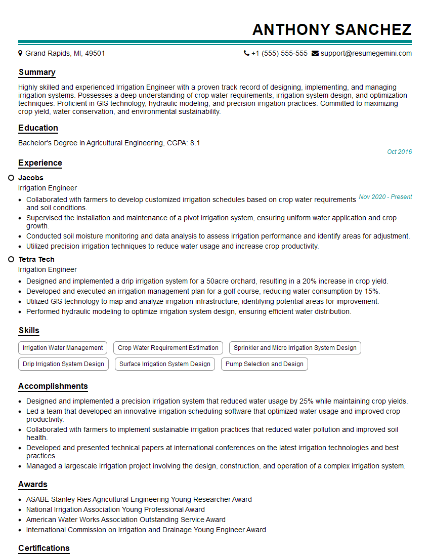
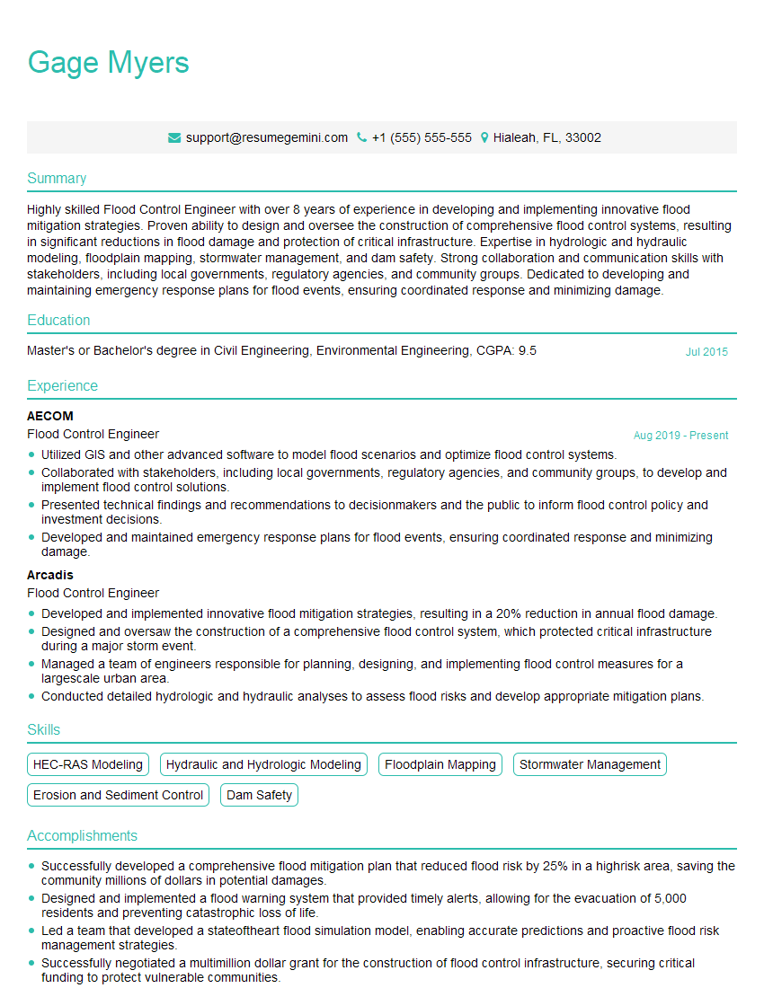
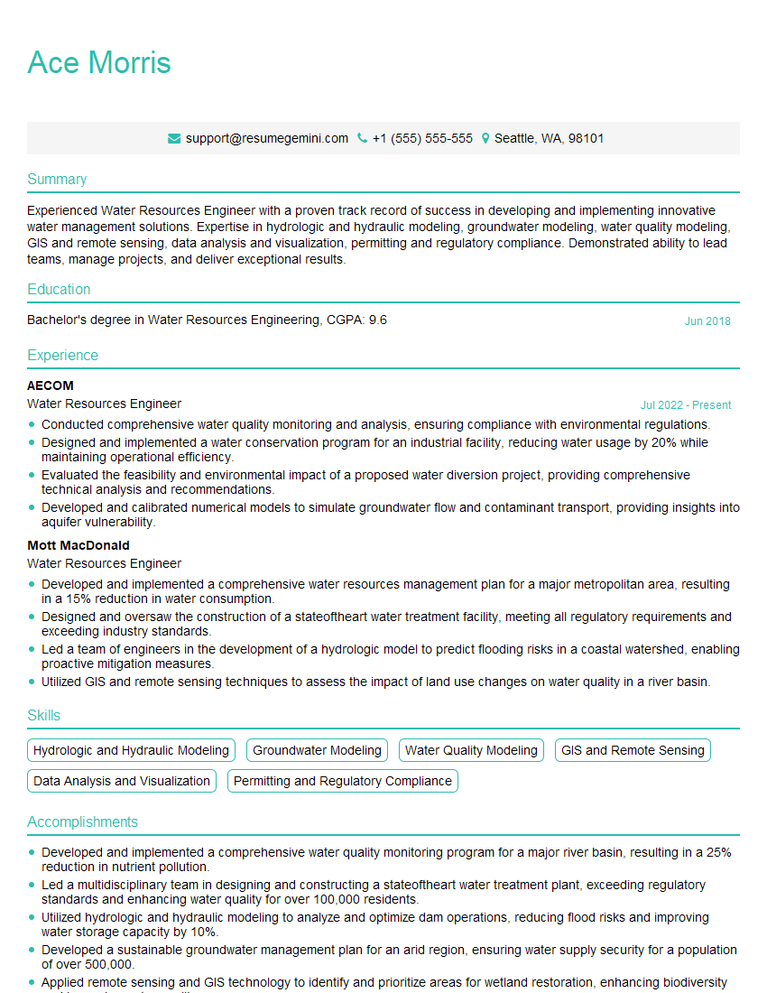
Mastering Water Flow Analysis opens doors to exciting career opportunities in environmental engineering, hydraulics, and water resources management. To significantly boost your job prospects, invest time in crafting a compelling and ATS-friendly resume that highlights your skills and experience effectively. ResumeGemini is a valuable tool to help you build a professional resume that stands out. We provide examples of resumes tailored to Water Flow Analysis to guide you in showcasing your qualifications in the best possible light. Take advantage of these resources and present yourself confidently to prospective employers.




Explore more articles
Users Rating of Our Blogs
Share Your Experience
We value your feedback! Please rate our content and share your thoughts (optional).
What Readers Say About Our Blog
To the interviewgemini.com Webmaster.
Very helpful and content specific questions to help prepare me for my interview!
Thank you
To the interviewgemini.com Webmaster.
This was kind of a unique content I found around the specialized skills. Very helpful questions and good detailed answers.
Very Helpful blog, thank you Interviewgemini team.