Cracking a skill-specific interview, like one for Tidal Basin Navigation, requires understanding the nuances of the role. In this blog, we present the questions you’re most likely to encounter, along with insights into how to answer them effectively. Let’s ensure you’re ready to make a strong impression.
Questions Asked in Tidal Basin Navigation Interview
Q 1. Explain the effect of tidal currents on vessel maneuvering in a confined basin.
Tidal currents in confined basins, like a tidal basin, significantly impact vessel maneuvering. Imagine trying to steer a car in a strong crosswind – that’s similar to navigating a vessel against a strong tidal current. The current’s speed and direction dramatically affect the vessel’s speed and heading, making precise maneuvering challenging. In narrow channels, the current can push a vessel towards the banks, increasing the risk of grounding or collision. The effect is amplified in areas with sharp turns or constrictions, where the current accelerates and becomes more unpredictable.
For example, entering a narrow lock within a tidal basin during a strong ebb current (outgoing tide) requires careful speed control and precise steering to avoid being pushed off course or impacting the lock walls. Experienced pilots account for the current’s influence by adjusting their speed and heading well in advance, often using a wider turning radius than would be necessary in calm water. They also consider the interaction between the vessel’s own momentum and the tidal current, recognizing that the effect can vary depending on the vessel’s size and shape.
Q 2. Describe the process of calculating tidal height and predicting tidal streams.
Predicting tidal height and streams involves a combination of observations, harmonic analysis, and sophisticated computer models. Tidal height, the vertical rise and fall of the water level, is primarily determined by the gravitational forces of the sun and moon. We use historical tide gauge data to establish a pattern – often a complex waveform – of the tide’s behavior over time. Harmonic analysis decomposes this waveform into a series of individual sine waves, representing different tidal constituents (e.g., semi-diurnal, diurnal, etc.). These constituents are then used to predict future tidal heights.
Predicting tidal streams, or the horizontal movement of water, is more complex. It involves factors such as the shape of the basin, the bathymetry (underwater topography), and the interaction between tidal height and the coastal configuration. Sophisticated hydrodynamic models, often incorporating data from numerical weather prediction models, simulate water flow under various tidal conditions, producing predictions of tidal stream speed and direction. These predictions, combined with observations, are essential for safe navigation.
Q 3. How do you interpret nautical charts specific to tidal basins?
Nautical charts for tidal basins are crucial for safe navigation. They provide information beyond simple water depth; they indicate the depth at various tidal stages using soundings (depth measurements) relative to a chart datum – usually a low water level. The chart will often show tidal ranges and tidal stream data, often through arrows or numbers indicating speed and direction at specific times and locations. Contours of equal depth (isobaths) help visualize the underwater terrain. Crucially, the chart may delineate areas of strong currents, navigation hazards, and restricted areas.
For instance, a chart might depict a channel with a narrow, shallow section that’s only navigable during high tide. Understanding the chart’s tidal information allows the navigator to plan their passage accordingly, ensuring sufficient water depth under the keel at all times. Careful study of the chart’s legends and annotations is essential to interpret the information correctly and safely.
Q 4. What safety measures are crucial when navigating in a tidal basin?
Safety in tidal basins demands meticulous planning and adherence to established procedures. A thorough understanding of the predicted tidal conditions, including height and stream, is paramount. This information should be cross-checked from multiple sources, including nautical charts, tidal prediction software, and local tide tables. Navigating with a properly functioning GPS and radar enhances situational awareness, allowing for detection of other vessels and potential obstacles. Maintaining constant communication with other vessels and harbour authorities via VHF radio is also vital.
- Sufficient Under Keel Clearance (UKC): Ensure adequate depth below the vessel’s keel at all times.
- Watchkeeping: Maintain vigilant watch, paying close attention to navigational aids, other vessels, and changes in environmental conditions.
- Emergency Preparedness: Have appropriate emergency plans and equipment ready, including a functioning life raft and EPIRB.
- Local Knowledge: Consult local pilots or experienced mariners for advice, especially in unfamiliar areas.
Q 5. Explain the impact of wind and weather on navigation in a tidal basin.
Wind and weather significantly influence navigation within a tidal basin. Strong winds can create waves and increase the risk of vessel motion (rolling and pitching), particularly for smaller vessels. Furthermore, wind can affect the flow of tidal currents, creating complex interactions that alter the predicted currents. For example, a strong headwind can significantly reduce the effective speed of a vessel moving against a strong tidal current, making progress much slower than expected. Conversely, a tailwind can increase the vessel’s speed, shortening the overall transit time. Heavy rain or fog reduces visibility and restricts safe navigation, necessitating caution and reliance on electronic navigation tools.
During periods of inclement weather, altering the navigation plan may be necessary. This could involve waiting for better conditions before proceeding or selecting a more sheltered route. Weather forecasts and updates are essential for adapting to changing circumstances and making informed decisions.
Q 6. Describe your experience with using electronic charting systems in tidal environments.
Electronic charting systems (ECS) are indispensable for navigating tidal environments. I have extensive experience using ECS, which provide real-time information on tidal heights, currents, and water depths. Many systems integrate with GPS and other sensors to provide a comprehensive navigational picture. ECS enhances situational awareness, allowing for precise positioning, route planning, and collision avoidance. They also provide access to updated nautical charts and tidal data, ensuring the navigation information is current and accurate.
I’ve utilized various ECS platforms, including those compliant with the International Maritime Organization (IMO) standards. These systems offer features like depth contouring, tidal stream overlays, and automatic route planning, significantly improving safety and efficiency in challenging tidal conditions. For example, in a situation where a sudden change in the tidal current or water depth is detected, the ECS will provide immediate alerts allowing for timely corrective action.
Q 7. How do you handle unexpected changes in tidal conditions during navigation?
Unexpected changes in tidal conditions require a rapid and measured response. My approach begins with confirming the change through multiple sources – comparing the ECS data with tidal predictions and real-time observations. If the discrepancy is significant, I would immediately assess the impact on the planned route and vessel safety. This may involve slowing down, altering course, seeking shelter, or even postponing the passage. It’s crucial to communicate the change immediately to other vessels and relevant port authorities via VHF radio.
For example, if a strong unexpected current threatens to push the vessel aground, I would immediately reduce speed, adjust the course to compensate for the current, and contact the port authority for assistance if needed. Safety is always the top priority, and in situations with unpredictable tidal conditions, a conservative approach is always preferred over taking unnecessary risks.
Q 8. What are the common hazards associated with navigating a tidal basin?
Navigating a tidal basin presents unique challenges due to the constantly changing water levels and currents. Common hazards include:
- Shallow water and grounding: Falling tide can quickly reduce water depths, exposing sandbars, rocks, or other obstacles. This is especially dangerous in narrow channels or near the basin’s edge.
- Strong tidal currents: These can be powerful enough to push vessels off course, making steering difficult and potentially leading to collisions or grounding. The speed and direction of the current change predictably with the tide.
- Reduced visibility: Strong currents can stir up sediment, reducing visibility, especially in shallower areas. This can make navigation challenging and increase the risk of collision.
- Sudden changes in water depth and flow: Unexpected changes in the tidal flow or the presence of unexpected underwater obstructions can pose immediate danger, especially during strong tidal currents or in areas with irregular bathymetry.
- Navigation infrastructure limitations: Some tidal basins may lack modern navigational aids or have poorly maintained infrastructure, making navigation more challenging, particularly in low visibility or challenging weather.
Understanding these hazards is crucial for safe navigation planning.
Q 9. How do you determine safe water depths in a tidal basin?
Determining safe water depths in a tidal basin requires a multi-step approach, combining chart information with real-time tidal predictions. First, I consult nautical charts, which show the charted depth of the water at low tide (charted depth). Then, I obtain accurate tidal predictions, either through official tide tables or reliable online resources. These predictions provide the height of the tide above the chart datum at any given time. To determine safe water depth at a specific time:
Safe Water Depth = Charted Depth + Tide Height + Under Keel Clearance
Under Keel Clearance (UKC) is a safety margin, which should account for uncertainties in depth, vessel draft (depth of the vessel below the waterline), and possible waves or swell. A typical UKC might be 1-2 meters, but it depends on the vessel, the navigation conditions and the circumstances. For example, navigating a narrow channel may require a larger UKC than traversing a wide expanse of water.
I always double-check my calculations and ensure the result provides sufficient clearance for safe passage. I also ensure the predicted tide times and heights are accurate and relevant for the specific location I am navigating.
Q 10. Explain the significance of tidal range in determining safe navigation practices.
Tidal range, the difference between high and low tide, is absolutely critical for safe navigation. A large tidal range means significant changes in water depth over a relatively short period. This necessitates careful planning to avoid grounding. For instance, a vessel that can easily transit a channel at high tide might run aground during the low tide if the tidal range is substantial. Conversely, a smaller tidal range requires less cautious planning but still needs to be considered.
The tidal range dictates the timing of safe transit windows. A large tidal range may only allow passage during a few hours around high tide, whereas a smaller range offers more flexibility. Understanding the tidal range informs the choice of route, transit time and also the speed at which the vessel can safely navigate in a tidal current.
I use the tidal range information to determine the minimum water depth along my planned route at all stages of the tide during the planned passage, and to determine the optimal time to transit considering both tidal height and tidal currents.
Q 11. Describe your experience using tide prediction tables and software.
I have extensive experience using both tide prediction tables (printed publications) and specialized navigation software. Tide tables offer a readily available and reliable source of predicted tidal information. However, they require manual calculation, making them less suitable for complex scenarios. Software like electronic charts (ECDIS) integrate tidal data directly, providing real-time calculations and visual representations of water depths.
For example, I’ve used the UKHO’s Admiralty Tide Stream Atlas for many years for detailed tidal current prediction, which complements the tidal height data from the official tide prediction tables or the ECDIS. These tables provide precise tidal heights and current predictions for specific locations. This integrated approach enables more efficient route planning and improves safety. The software allows for real-time adjustments based on observed conditions, offering flexibility absent in the traditional methods. Using both increases accuracy and reduces the likelihood of errors in calculations.
Q 12. How do you account for tidal currents when planning a voyage?
Accounting for tidal currents is essential for accurate navigation planning. Ignoring them can lead to significant deviations from the planned course and even grounding or collisions. I use tidal current atlases and electronic navigational charts (ENCs) that provide predictions of current speed and direction at various locations and times. These predictions are typically presented as vector arrows showing the direction and speed of the current, or as a table.
I incorporate these predictions into my voyage plan by calculating the set and drift – the direction and speed at which the vessel will be pushed off course by the current. This enables me to adjust my heading, speed and the timing of my transit window to compensate for the effect of the currents, ensuring I arrive at my destination safely. Navigation software often incorporates tidal current models that allow for dynamic route planning, considering the impact of the current on the vessel’s track.
Imagine trying to sail directly across a river – you’d need to angle your boat upstream to counteract the current and reach your destination on the other bank. Tidal currents operate on the same principle.
Q 13. What are the legal and regulatory requirements for navigating in a tidal basin?
Navigating in a tidal basin is subject to various legal and regulatory requirements. These vary depending on location and jurisdiction, but generally include:
- Compliance with International Regulations for Preventing Collisions at Sea (COLREGs): These rules govern safe navigation practices, including the use of lights and sound signals, maintaining a proper lookout, and avoiding collisions.
- Adherence to local navigational rules and regulations: Many tidal basins have specific regulations concerning speed limits, designated channels, and restricted areas, usually documented by local port authorities.
- Possession of appropriate charts and publications: Up-to-date nautical charts showing water depths, navigational aids, and other relevant information are mandatory.
- Proper licensing and certification: Navigational personnel often require specific licenses or certifications to operate vessels in tidal basins, especially commercial vessels.
- Reporting requirements: In some areas, reporting vessel movements or intended passages to port authorities may be mandated.
Ignoring these rules can lead to penalties, including fines or even criminal charges.
Q 14. How would you respond to a navigation emergency in a tidal basin?
Responding to a navigation emergency in a tidal basin requires swift action and a systematic approach. The priority is to ensure the safety of the vessel and its crew. My response would involve:
- Assessment of the situation: Immediately determine the nature of the emergency (grounding, collision, equipment failure, etc.).
- Initiating emergency procedures: This includes contacting relevant authorities (coastguard, harbor master) and activating the vessel’s emergency communication systems.
- Implementing safety measures: Taking steps to mitigate the immediate danger. For example, if grounded, assessing the situation to see if it can be refloated on the rising tide or if assistance is required.
- Damage control: Assessing and controlling any damage to the vessel or its equipment.
- Assisting those on board: Ensuring the safety and well-being of the crew and passengers.
- Cooperation with rescue services: Providing accurate information and cooperating fully with any rescue or salvage operations.
The specific actions will depend on the nature of the emergency, but the core principles are always safety first, communication, and cooperation.
Q 15. Explain the concept of tidal asymmetry and its impact on navigation.
Tidal asymmetry refers to the inequality in the height and duration of the rising and falling tides. Instead of a symmetrical curve, the tide might rise quickly and fall slowly, or vice versa. This isn’t a smooth, mirrored pattern. Imagine a gentle slope followed by a steep drop – that’s asymmetry. In navigation, this unevenness significantly impacts transit times and safe water depths. A vessel might have ample clearance during a slow-falling tide but find itself aground if the following rising tide comes in quickly and strongly.
For example, consider a channel with a minimum depth of 10 meters required for safe passage. If a symmetrical tide rises and falls by 5 meters each, the channel remains navigable throughout the tidal cycle. However, with asymmetry, the channel might only have sufficient depth during the high tide, leaving a narrow window for safe passage. Incorrectly estimating the rate of change can be disastrous for smaller vessels.
Career Expert Tips:
- Ace those interviews! Prepare effectively by reviewing the Top 50 Most Common Interview Questions on ResumeGemini.
- Navigate your job search with confidence! Explore a wide range of Career Tips on ResumeGemini. Learn about common challenges and recommendations to overcome them.
- Craft the perfect resume! Master the Art of Resume Writing with ResumeGemini’s guide. Showcase your unique qualifications and achievements effectively.
- Don’t miss out on holiday savings! Build your dream resume with ResumeGemini’s ATS optimized templates.
Q 16. Describe your experience with using various navigation equipment (e.g., GPS, radar, sonar).
Throughout my career, I’ve extensively utilized various navigation equipment. GPS provides real-time positioning, crucial for pinpointing location, even in challenging areas. However, GPS accuracy can be compromised by interference, hence the need to supplement it.
Radar is invaluable for collision avoidance and navigating in reduced visibility conditions like fog. I’ve relied on radar to identify other vessels, landmasses, and potential hazards. Sonar, on the other hand, helps determine water depth and the seabed profile, essential when navigating shallow or unfamiliar waters within the tidal basin. During a recent project in a particularly complex basin, a combination of GPS, radar, and sonar was crucial for safe transit. Using radar to confirm GPS data and combining that with sonar to ensure sufficient water depth is standard practice.
Q 17. How do you ensure accurate position fixing in a tidal basin?
Accurate position fixing in a tidal basin necessitates a multi-faceted approach. Relying solely on GPS can be misleading, especially with potential signal interference and the dynamic nature of the water.
Firstly, I always cross-check GPS data with electronic nautical charts (ENCs) that incorporate real-time tidal data. Secondly, visual bearings from prominent landmarks, using a compass, provide an independent verification. Thirdly, using a depth sounder helps corroborate the charted depths and the ship’s position relative to the bottom. Combining these methods – GPS, ENCs, visual bearings, and depth sounding – allows for a highly accurate fix, minimizing the risks associated with navigating challenging tidal areas. Even a small error in a rapidly changing tidal basin can lead to serious issues.
Q 18. What are the different types of tidal patterns, and how do they affect navigation?
Tidal patterns vary globally, but common types include diurnal (one high and one low tide per day), semi-diurnal (two high and two low tides of roughly equal height), and mixed tides (a combination of diurnal and semi-diurnal characteristics). The pattern significantly impacts navigation planning. For example, in a semi-diurnal tidal basin, careful attention must be paid to the timing of both high and low tides to ensure adequate water depth throughout a passage.
Consider a vessel with a draft of 5 meters needing to navigate a channel with a minimum depth of 6 meters. In a diurnal pattern, the available time window would be restricted, requiring a highly accurate understanding of the predicted high tide. In a mixed tidal system, the irregularities require a more complex calculation involving tidal height and the rate of change of the tide over the transit time.
Q 19. How would you handle a situation where your planned route is affected by unexpected tidal changes?
Unforeseen tidal changes demand immediate adaptability. My first step would involve confirming the accuracy of the changed tide information through multiple reliable sources (e.g., official tidal predictions, contacting nearby ports). Once the deviation is verified, I’d assess the impact on my planned route. Is the change significant enough to compromise safe passage? Are there alternative routes with sufficient depth and width?
If an alternative route exists, I’d recalculate my ETA, taking into account the new tidal parameters. If no suitable alternative is available, I’d consider delaying the transit until favorable tidal conditions return. Safety remains the absolute priority. In some situations, this might require communicating with relevant authorities, seeking assistance, or taking appropriate safety measures. This might also include reducing speed, possibly even anchoring until the tide is more favorable.
Q 20. Describe your understanding of the different types of nautical charts.
Nautical charts are fundamental navigation tools. Paper charts, once the primary source, still hold value as backups. Electronic Nautical Charts (ENCs), however, are now more prevalent and offer several advantages including dynamic updates of navigational warnings and real-time tidal information.
There are also various specialized charts, such as harbor charts (detailed depictions of harbors and anchorages), general charts (larger-scale charts covering extensive areas), and approach charts (for navigating toward a specific location).
The key distinction is scale and detail. Harbor charts are incredibly detailed, while general charts show a broader overview, omitting fine-grained features. Selecting the appropriate chart is critical for safe navigation, aligning the chart’s detail and scale to the specific navigation requirements.
Q 21. Explain the difference between spring tides and neap tides.
Spring tides and neap tides represent the extremes of the tidal range. Spring tides occur when the sun, moon, and Earth are aligned (new moon or full moon), resulting in a higher high tide and a lower low tide – a larger tidal range. Imagine the gravitational pull of the sun and moon working together.
Neap tides, conversely, occur when the sun and moon are at right angles to each other (first or third quarter moon). Their gravitational forces partially cancel each other out, resulting in a smaller tidal range. Think of the gravitational forces partially offsetting each other. Navigating during spring tides requires extra caution due to the strong tidal currents and potential shallow water hazards, while neap tides present less extreme conditions, but still require awareness of the tidal fluctuations.
Q 22. How do you use tidal data to optimize a vessel’s transit plan?
Optimizing a vessel’s transit plan using tidal data involves predicting water depths and currents to ensure safe and efficient passage. This is crucial in tidal basins where water levels fluctuate significantly throughout the day. We utilize predicted tidal heights and current speeds obtained from tidal prediction services or nautical charts. These predictions are usually given as a series of height and current data points for a specific location over a period of time.
For example, if we’re planning a transit through a shallow channel with a minimum depth of 5 meters, we wouldn’t attempt the passage during a low tide if the predicted depth at that time is only 4 meters, even if the chart shows a 7-meter depth at high tide. We’d adjust our transit plan to coincide with a period of higher water levels. Similarly, strong tidal currents can significantly impact vessel speed and maneuverability. We use the predicted current speed and direction to determine the optimal transit time and heading. A head current could significantly increase transit time and fuel consumption, requiring adjustments to the transit schedule and possibly even an alternative route.
Software and apps can help visualise this data, allowing us to see a predicted depth profile against the vessel’s draft across the planned route. This is essential to safe navigation.
Q 23. What are the limitations of using GPS in tidal areas?
While GPS provides excellent positional accuracy, its use in tidal areas faces some limitations. The primary limitation is the potential for inaccurate depth readings due to the changing water levels. GPS provides only horizontal positioning; it doesn’t directly measure water depth. Therefore, relying solely on GPS for navigating shallow areas can be hazardous, especially in a dynamic tidal environment where the actual water depth may be significantly less than the charted depth due to tidal variations.
Another limitation is the signal’s susceptibility to interference. In narrow channels or areas surrounded by tall structures, the GPS signal might be weak or blocked, leading to reduced accuracy or complete signal loss. This could be particularly problematic during critical maneuvers near shallows or obstructions.
Finally, GPS alone doesn’t account for currents. Accurate navigation requires integrating GPS data with predicted tidal currents to determine the vessel’s true course over ground. Ignoring the effects of currents can lead to significant deviations from the intended track and potential grounding or collisions. Therefore, GPS needs to be used in conjunction with other navigational tools such as charts, depth sounders, and tidal prediction data for safe navigation in tidal waters.
Q 24. Explain the importance of understanding local knowledge when navigating a tidal basin.
Local knowledge is paramount when navigating a tidal basin. It surpasses the information found on charts and digital tools. Local knowledge encompasses an understanding of:
- Uncharted hazards: These could be submerged rocks, wrecks, or sandbars not accurately depicted on charts, which can shift due to tides and currents.
- Tidal peculiarities: Specific areas might experience unique tidal patterns or unusually strong currents, not fully reflected in generalized tidal predictions.
- Navigational aids: Local knowledge includes knowing the limitations of and proper interpretation of navigational buoys, beacons, and landmarks.
- Weather patterns: Local weather patterns, like unexpected squalls or fog, can significantly impact visibility and navigation.
- Environmental conditions: Familiarity with local conditions like water clarity, seagrass beds or areas of heavy shipping traffic will inform better decision-making.
For instance, a local mariner might know of a shortcut through a narrow channel that’s only navigable during specific tidal conditions, a fact not explicitly stated on any chart. Neglecting this local knowledge could lead to grounding or collision.
Q 25. How do you maintain situational awareness while navigating in a complex tidal environment?
Maintaining situational awareness in a complex tidal environment requires a multi-faceted approach. It’s not just about looking at a single device, but about constantly cross-referencing information from multiple sources.
- Constant monitoring of navigational equipment: This includes GPS, radar, AIS (Automatic Identification System), echo sounder, and gyrocompass. Regular checks help detect anomalies and potential hazards.
- Cross-referencing with charts and publications: Charts show the charted depths and dangers while publications, like Notices to Mariners, provide updates on navigational changes.
- Careful observation of surrounding environment: This encompasses visual observation of landmarks, other vessels, and environmental conditions like water colour, waves, and weather.
- Effective bridge-to-bridge communication: Talking to other vessels, especially in congested areas, helps anticipate their movements and avoid potential collisions.
- Regular updates on tidal conditions: Continuously checking tidal predictions ensures the navigator stays informed about changes in water depth and currents.
Think of it as a constant juggling act, integrating information from all sources to build a comprehensive picture of the situation and making timely adjustments to the vessel’s course and speed as necessary.
Q 26. Describe your experience with bridge-to-bridge communication in a tidal basin.
Bridge-to-bridge communication is crucial in a tidal basin, particularly in areas with restricted visibility or heavy traffic. I’ve consistently used VHF radio to communicate with other vessels, exchanging information about intended manoeuvres, positions, and any potential hazards. This includes reporting my vessel’s intentions when approaching bridges, bends, or other constricted areas, and acknowledging responses from other vessels.
For example, when navigating a narrow channel during a strong ebb tide, I would call other vessels approaching from the opposite direction to coordinate our passing and avoid a dangerous collision. Clear, concise communication prevents misunderstandings and enhances safety. I’ve also used bridge-to-bridge communication to report hazards like unexpected shallow patches or drifting debris, benefiting not just myself but all vessels in the area.
Maintaining a professional and courteous manner is crucial. Even in tense situations, clear and calm communication enhances collaboration and reduces the risk of incidents.
Q 27. How do you utilize depth sounders effectively in shallow tidal waters?
Depth sounders are indispensable in shallow tidal waters. They provide real-time water depth readings directly beneath the vessel, offering crucial information not always precisely reflected on charts, especially in dynamic tidal environments. To use them effectively:
- Regular calibration: Ensure the depth sounder is correctly calibrated to account for variations in transducer performance and water conditions.
- Understanding limitations: Be aware of the sounder’s range and accuracy, recognizing that readings may be affected by factors like bottom composition (e.g., mud, rock), water temperature, and salinity.
- Constant monitoring: Continuously monitor depth readings, especially in shallow areas, comparing them to chart depths and taking into consideration the predicted tidal height.
- Interpreting data with caution: Account for possible inaccuracies and don’t rely solely on the sounder. Cross-reference with charts, GPS position, and visual observations.
- Using appropriate settings: Choose settings which show sufficient depth range to allow for safe navigation and consideration of vessel draft.
In a real-world example, I was navigating a shallow channel with a charted depth of 3 meters. My depth sounder showed a shallower reading of 2.5 meters. This alerted me to the fact that even within the charted depth, a shallower patch might exist. This cautious approach, using sounder data in conjunction with other navigational tools prevented a potential grounding.
Q 28. What are the environmental considerations when navigating in a tidal basin?
Navigating a tidal basin requires careful consideration of several environmental factors.
- Water quality: Pollution, algal blooms, or other water quality issues could affect vessel operations and potentially pose risks to the marine environment. We must avoid practices that can further degrade the quality of the water.
- Marine life: Tidal basins often support abundant marine life. Navigational practices should minimize the disturbance or harm to marine mammals, birds, or other creatures. We must avoid areas with known nesting sites or breeding grounds and keep speeds appropriate to avoid disturbing wildlife.
- Sensitive habitats: Many tidal basins encompass sensitive ecosystems such as seagrass beds, salt marshes, or coral reefs. Navigating in these areas requires particular caution to avoid damage caused by anchoring, grounding, or creating wakes. Designated transit routes should be followed carefully.
- Waste disposal: Responsible disposal of waste is crucial to protect the marine environment. All waste should be properly stored and disposed of ashore in designated facilities. This is key to preserving water quality and preventing environmental damage.
A responsible approach to navigation integrates environmental awareness into all decision-making, aiming to minimize any negative impact on the ecosystem. This includes using appropriate speeds, following designated routes, and complying with all relevant environmental regulations.
Key Topics to Learn for Tidal Basin Navigation Interview
- Hydrodynamics and Tidal Modeling: Understanding the theoretical principles behind tidal currents, water levels, and their prediction using numerical models. Consider exploring different tidal models and their applications.
- Navigation Systems and Technologies: Familiarity with various navigational tools and systems used in tidal environments, including GPS, electronic charting systems (ECS), and automated identification systems (AIS). Practice interpreting navigational data and charts.
- Safety and Risk Management in Tidal Waters: Understanding the unique hazards associated with navigating in tidal basins, such as strong currents, shallow waters, and restricted waterways. Explore risk assessment techniques and safe navigation practices.
- Environmental Considerations: Knowledge of environmental factors impacting navigation, including water quality, marine life, and ecological sensitivities. This includes awareness of regulations and best practices for environmentally responsible navigation.
- Vessel Handling and Maneuvering in Tidal Conditions: Practical application of vessel handling techniques in challenging tidal currents. This includes understanding the effects of tide on vessel response and planning efficient routes.
- Emergency Procedures and Response: Familiarity with emergency protocols and procedures specific to tidal basin navigation, including communication systems, distress signaling, and search and rescue operations.
- Regulations and Legal Compliance: Understanding relevant maritime regulations and legal frameworks governing navigation in tidal basins. This may include port regulations, traffic separation schemes, and environmental protection laws.
Next Steps
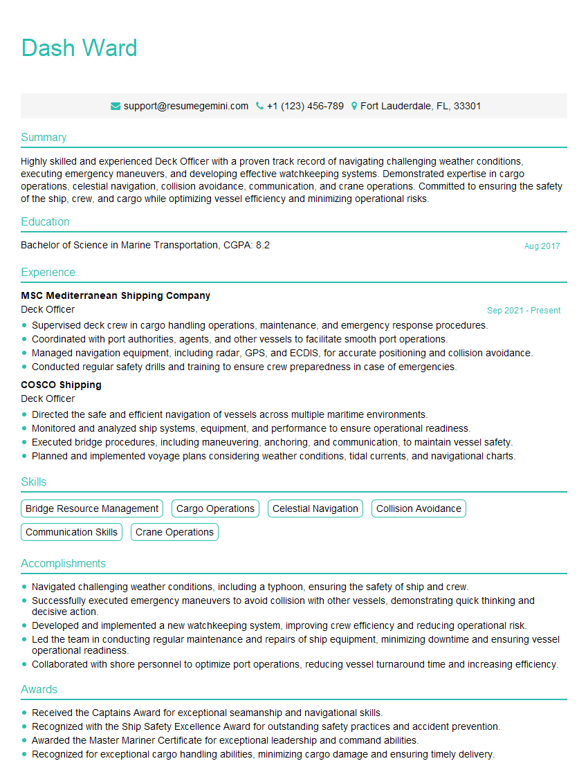
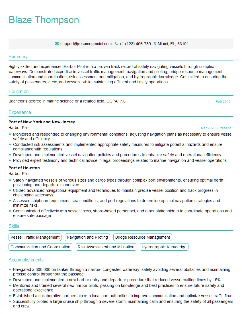
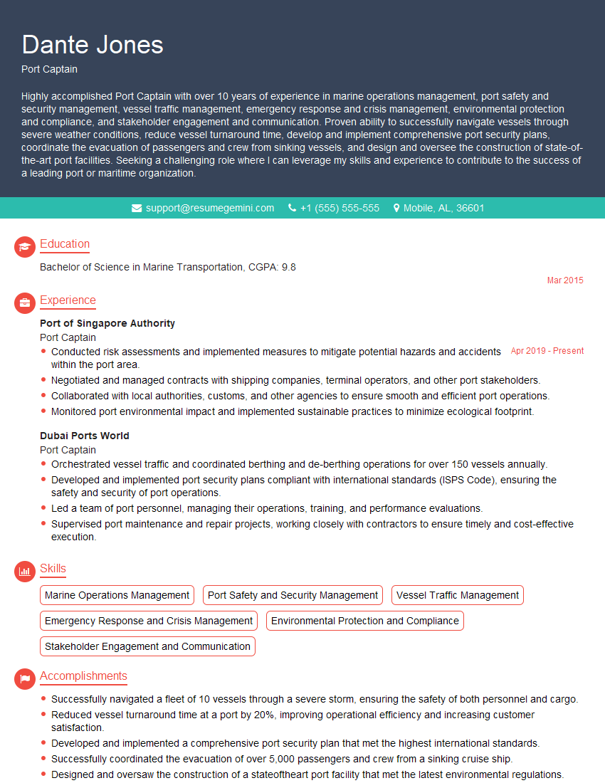
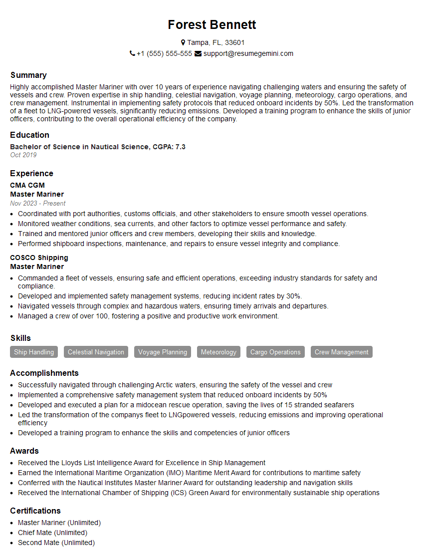
Mastering Tidal Basin Navigation opens doors to exciting career opportunities within the maritime industry, offering specialization and advancement possibilities. To significantly increase your chances of securing your dream role, it’s crucial to present your qualifications effectively. Building an Applicant Tracking System (ATS)-friendly resume is paramount in ensuring your application gets noticed. ResumeGemini is a trusted resource that can help you craft a compelling and ATS-optimized resume, highlighting your skills and experience in the best possible light. Examples of resumes tailored to Tidal Basin Navigation are available through ResumeGemini to guide you.
Explore more articles
Users Rating of Our Blogs
Share Your Experience
We value your feedback! Please rate our content and share your thoughts (optional).
What Readers Say About Our Blog
This was kind of a unique content I found around the specialized skills. Very helpful questions and good detailed answers.
Very Helpful blog, thank you Interviewgemini team.
