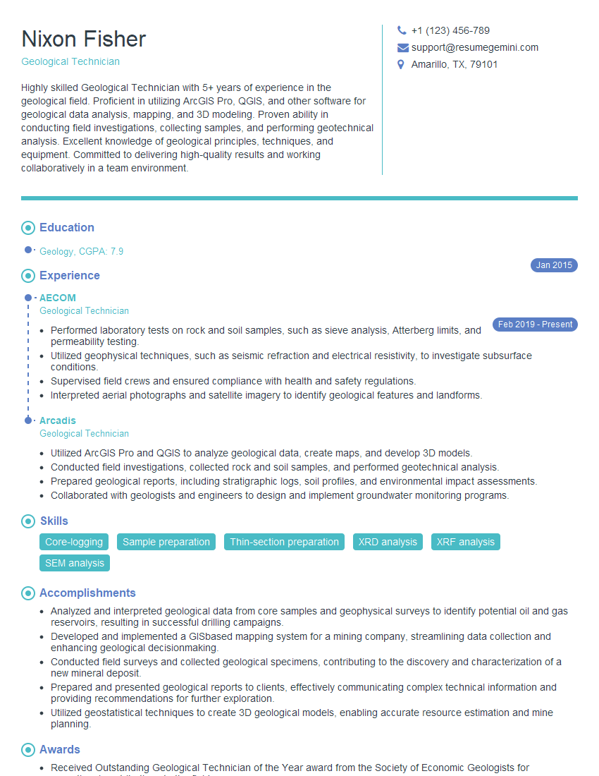
Every successful interview starts with knowing what to expect. In this blog, we’ll take you through the top Experience in Mineral Exploration and Resource Evaluation interview questions, breaking them down with expert tips to help you deliver impactful answers. Step into your next interview fully prepared and ready to succeed.
Questions Asked in Experience in Mineral Exploration and Resource Evaluation Interview
Q 1. Describe your experience with different exploration techniques (e.g., geophysical surveys, geochemical sampling).
Mineral exploration relies on a suite of techniques to uncover hidden deposits. Geophysical surveys utilize the physical properties of rocks to infer subsurface geology. For instance, magnetic surveys detect variations in the Earth’s magnetic field caused by magnetic minerals like magnetite, often associated with iron ore deposits. Electrical resistivity surveys measure the ability of rocks to conduct electricity, useful for identifying conductive sulfide ore bodies. Gravity surveys measure subtle variations in gravity, helping locate dense ore deposits.
Geochemical sampling involves collecting samples (soil, rock, water) and analyzing their chemical composition for trace elements indicative of mineralization. Soil geochemistry, for example, can identify anomalies reflecting the leaching of metals from a buried ore body. Rock chip sampling provides direct information about the mineral composition of outcrops. Stream sediment sampling helps trace the movement of metals through the drainage system, pinpointing areas of potential mineralization upstream.
My experience encompasses all these methods. In one project, we used a combination of magnetic and induced polarization (IP) geophysical surveys followed by soil geochemistry to successfully delineate a porphyry copper target. The IP survey highlighted chargeability anomalies associated with sulfide mineralization, which were then confirmed by elevated copper concentrations in soil samples.
Q 2. Explain the process of geological modeling and resource estimation.
Geological modeling and resource estimation are crucial steps in evaluating the economic potential of a mineral discovery. Geological modeling involves creating a three-dimensional representation of the ore body’s geometry, lithology (rock type), and grade (mineral concentration). This is done using geological maps, drill hole data, and geophysical data. Software packages like Leapfrog Geo or GDM are commonly used. The model is essentially a digital interpretation of the subsurface, providing a visual representation of the ore body’s shape, size and internal characteristics.
Resource estimation uses this geological model to quantify the amount of ore present. This involves statistically analyzing the grade and tonnage data from drill holes, using geostatistical techniques like kriging to interpolate values between data points. The estimated resource is classified into different categories (e.g., inferred, indicated, measured) reflecting the level of geological confidence. These classifications dictate how the resource can be used in economic evaluations.
For example, in a gold exploration project, I built a 3D model of an epithermal vein system using drill hole data and interpreted geological structures. Then, using ordinary kriging, I estimated the gold resource, classifying it based on the density and confidence of drill hole data. This allowed us to determine if further exploration was warranted.
Q 3. How do you interpret geophysical data to identify potential mineral deposits?
Interpreting geophysical data requires a deep understanding of both geology and geophysics. It’s not simply about identifying anomalies; it’s about understanding what those anomalies represent in the context of the geological setting. For example, a high magnetic anomaly might indicate the presence of magnetite-rich rocks, potentially associated with iron ore or a porphyry copper system. But it could also be caused by other factors.
I use various techniques. Firstly, I analyze the data visually, creating maps and cross-sections to identify trends and patterns. Secondly, I integrate the geophysical data with other geological information, such as geological maps and drill hole data, to build a more comprehensive understanding of the subsurface. Finally, I use geological modeling software to incorporate the geophysical data into 3D models, improving the accuracy and resolution of our interpretation.
For example, in a nickel exploration project, we used electromagnetic surveys to detect conductive zones associated with sulfide mineralization. By integrating this data with geological mapping, which showed the presence of ultramafic rocks (host rocks for nickel sulfides), we were able to prioritize drilling targets in areas with both geophysical and geological indicators.
Q 4. What are the key geological factors to consider when evaluating a mineral deposit?
Evaluating a mineral deposit involves considering numerous geological factors. These include:
- Host Rock Geology: The type of rock hosting the mineralization is crucial. Some minerals are only found in specific rock types. For example, porphyry copper deposits are often associated with intrusive igneous rocks.
- Ore Mineralogy: The minerals making up the ore dictate the extraction method and economic viability. The grade and distribution of valuable minerals within the ore body are key aspects.
- Structural Geology: Faults, folds, and other structures can control the localization of ore deposits. Understanding the structural framework is critical for modeling and resource estimation.
- Alteration: Chemical changes in the host rock surrounding the ore body often indicate mineralization. Specific alteration minerals can be indicative of certain deposit types.
- Geochemistry: The chemical composition of the ore and surrounding rocks provides vital clues about the origin and nature of the deposit. Trace element analysis can help define the geological environment.
Ignoring any of these factors can lead to inaccurate resource estimates and potentially flawed economic assessments. A thorough understanding of all these geological factors is essential for making informed decisions.
Q 5. Explain your understanding of different types of mineral deposits (e.g., porphyry copper, epithermal gold).
Mineral deposits are classified based on their geological setting, mineralogy, and genesis. Porphyry copper deposits are large, low-grade deposits associated with intrusive igneous rocks. They form through hydrothermal activity related to magma emplacement. These deposits are characterized by disseminated copper mineralization within altered host rocks, often accompanied by molybdenum, gold, and other metals. Examples include the Escondida mine in Chile.
Epithermal gold deposits are typically higher-grade but smaller than porphyry deposits. They form at shallower depths, often in volcanic settings. These deposits are characterized by veins and stockworks of gold-bearing quartz and other minerals. Examples include many gold mines in Nevada.
Other deposit types include volcanogenic massive sulfide (VMS) deposits, sedimentary exhalative (SEDEX) deposits, and placer deposits, each with unique geological characteristics and formation processes. My experience covers these and other deposit types. Understanding these distinctions is critical for exploration targeting and resource assessment.
Q 6. How do you assess the economic viability of a mineral project?
Assessing economic viability involves a detailed analysis of costs and revenues. This includes estimating capital and operating costs, which consider exploration, mine development, extraction, processing, and environmental remediation. Revenue is calculated based on the estimated resource, commodity prices, and metal recovery rates. A key aspect is determining the net present value (NPV), which represents the present value of all future cash flows, discounted by an appropriate rate reflecting the project’s risk profile.
Other crucial factors include:
- Commodity Prices: Fluctuations in commodity prices significantly influence a project’s profitability.
- Metallurgical Testing: Testing is essential to determine the efficiency of ore processing and metal recovery.
- Environmental Regulations and Permits: Compliance with environmental regulations adds costs and can delay projects.
- Infrastructure and Logistics: Accessibility, transportation costs, and local infrastructure significantly impact the economic viability.
A comprehensive economic assessment is typically conducted using financial modeling software, evaluating different scenarios and risk factors to determine whether a project is economically feasible.
Q 7. Describe your experience with data analysis and interpretation in mineral exploration.
Data analysis and interpretation are fundamental to mineral exploration. I utilize various software packages, including Leapfrog Geo, ArcGIS, and specialized geostatistical software, to process and analyze vast amounts of data from multiple sources. This involves cleaning and validating the data, performing statistical analyses to identify trends and anomalies, and creating visualizations to aid interpretation.
My approach is iterative. I start with exploratory data analysis, looking for patterns and relationships in the data. Then, I use more advanced statistical techniques, such as geostatistics, to model the spatial distribution of mineralization. Throughout this process, I constantly iterate, refining my models and analyses based on new data and insights. I also rely on visualization tools—maps, cross-sections, and 3D models—to communicate my findings effectively and facilitate decision-making.
For instance, in one project, we used spatial statistics to identify clusters of high-grade mineralization within a larger ore body, helping optimize mine planning and resource utilization. This data-driven approach allowed for more efficient resource extraction and a better understanding of the deposit’s complexities.
Q 8. What software are you proficient in for geological modeling and resource estimation (e.g., Leapfrog Geo, ArcGIS)?
My proficiency in geological modeling and resource estimation software is extensive. I’m highly skilled in using Leapfrog Geo for 3D geological modeling, resource estimation, and uncertainty analysis. Its intuitive interface and powerful capabilities for visualizing complex geological datasets are invaluable. I also have significant experience with ArcGIS, primarily for spatial data management, geoprocessing, and creating thematic maps which are crucial for integrating various geological data sets. Furthermore, I’m familiar with other industry-standard packages such as Datamine Studio and Vulcan, which offer alternative approaches to resource modelling. The choice of software often depends on the specific project requirements and the available data. For example, Leapfrog Geo’s implicit modelling excels in situations with complex geometry and limited data, whereas ArcGIS might be preferred for integrating large-scale datasets from various sources.
Q 9. How do you manage geological uncertainty in resource estimation?
Managing geological uncertainty in resource estimation is critical for generating realistic and reliable resource statements. This involves acknowledging that our understanding of the subsurface is always incomplete. We use a range of techniques to address this, including:
- Geostatistical methods: Techniques like kriging and sequential Gaussian simulation are used to incorporate spatial correlation in the data and generate multiple plausible geological models, reflecting uncertainty in grade and geometry. These techniques provide not only an estimate of the resource but also quantify the uncertainty associated with that estimate.
- Conditional simulation: This creates multiple realizations of the orebody, each equally likely given the available data. Analyzing these different models allows us to understand the range of possible outcomes.
- Sensitivity analysis: We test how variations in input parameters (e.g., grade cutoff, density) affect the final resource estimate. This helps identify the most influential parameters and reduces the uncertainties.
- Reporting uncertainty: The final resource statement always includes a quantification of the uncertainty, such as confidence intervals or probability distributions, rather than a single deterministic number.
For instance, in a gold exploration project, we might use geostatistical techniques to model the gold grade distribution, considering the variability observed in drill core samples. Multiple simulations might reveal scenarios where the gold zone is more continuous or fragmented, ultimately impacting the total resource estimate and its associated uncertainty.
Q 10. Explain your understanding of different drilling techniques and their applications.
Drilling techniques are chosen based on the geological setting, target depth, and budget. Here are some key methods:
- Reverse Circulation (RC): Cost-effective for large-volume sampling in relatively unconsolidated formations. Air or gas is used to lift cuttings to the surface, allowing for rapid sample collection.
- Diamond Core Drilling (DDH): Provides intact core samples crucial for detailed geological logging, geotechnical testing, and geochemistry. Used for deeper exploration or when precise sample integrity is essential.
- Rotary Air Blast (RAB): Similar to RC drilling, but employs compressed air to create a more powerful blast. Suitable for shallow exploration in various rock types.
- Down-hole Hammer (DTH): Used for larger diameter holes in hard rock, often for blasting or dewatering.
The choice depends on the specific project. For example, in a porphyry copper deposit, DDH might be the primary method for high-quality core samples to evaluate alteration zones and mineralization, while RC might be employed for wider-spaced reconnaissance drilling to define the overall extent of the system.
Q 11. How do you ensure the quality control of geological data and samples?
Maintaining the quality of geological data and samples is paramount. My approach involves a multi-stage process:
- Chain of Custody: Strict procedures are followed to track samples from the moment they are collected until analysis, ensuring no contamination or substitution occurs. Unique identifiers are assigned to each sample.
- Duplicate Sampling: A percentage of samples are duplicated at various stages (field, lab) to detect any inconsistencies in analytical results. Blind duplicates are especially useful.
- Standard Reference Materials (SRMs): Certified reference materials with known compositions are included in each batch of samples to check the accuracy and precision of laboratory analyses. This ensures lab quality control is maintained.
- Data Validation: Geological databases are regularly reviewed for inconsistencies and errors. Data entry procedures and quality checks are implemented to minimize input errors.
- QA/QC Protocols: Formal QA/QC protocols are implemented at every stage of the exploration process and meticulously documented.
For instance, in a large-scale exploration program, we might implement a system for real-time data validation using specialized software to flag unusual readings or discrepancies. This allows for immediate investigation and correction, rather than discovering errors only after extensive analysis.
Q 12. Describe your experience with environmental regulations related to mining and exploration.
My experience includes working within the environmental regulations governing mineral exploration and mining. This encompasses various aspects, such as:
- Environmental Impact Assessments (EIAs): I’ve participated in the preparation and review of EIAs, identifying potential environmental impacts and proposing mitigation strategies. EIAs are crucial for obtaining permits and demonstrating responsible environmental practices.
- Permitting and Compliance: I have experience with obtaining and maintaining necessary permits at local, regional, and national levels. This involves understanding and complying with regulations related to water quality, air emissions, waste management, and biodiversity conservation.
- Remediation and Reclamation: I understand the principles of mine closure planning and environmental remediation, including strategies for minimizing the environmental footprint of exploration and mining activities.
- Stakeholder Engagement: Effective communication with local communities and other stakeholders is crucial. It involves addressing their concerns and building trust through transparency.
For example, on a recent project, we utilized detailed hydrological modeling to predict the potential impacts of exploration activities on groundwater resources, allowing us to implement mitigation measures and prevent contamination before it could occur.
Q 13. How do you prioritize exploration targets based on geological data and economic factors?
Prioritizing exploration targets involves a multi-faceted approach that balances geological potential with economic feasibility. I typically use a decision-making framework incorporating:
- Geological Targeting: This involves analyzing geological data (geochemistry, geophysics, remote sensing) to identify areas with high mineral potential. Structural features, alteration patterns, and geochemical anomalies are key indicators.
- Economic Modeling: Preliminary economic assessments (pre-feasibility studies) evaluate the potential profitability of each target based on estimated resource size, grade, and operating costs.
- Risk Assessment: Evaluating geological and economic risks is crucial. Factors such as exploration risk, metallurgical recovery, permitting delays, and commodity price volatility need to be considered.
- Data Integration: Spatial analysis tools like GIS are employed to integrate geological data, economic parameters, and environmental constraints to create a comprehensive ranking of exploration targets.
For example, we might use a GIS-based model overlaying geochemical anomalies, geophysical signatures, and structural interpretations to identify the most promising areas. Then, preliminary economic models would help us decide which targets to pursue based on estimated net present value (NPV) and internal rate of return (IRR).
Q 14. What are the key risks associated with mineral exploration and how do you mitigate them?
Mineral exploration is inherently risky. Key risks include:
- Geological Risk: The uncertainty in the size, grade, and geometry of ore deposits is a significant risk. Exploration may fail to find economic mineralization, or the deposit may be smaller or lower grade than initially anticipated.
- Economic Risk: Commodity prices fluctuate significantly, impacting profitability. Unexpected increases in operating costs, permitting delays, or financing challenges can also pose risks.
- Environmental Risk: Exploration activities can have potential environmental impacts, leading to regulatory issues or community opposition.
- Political Risk: Changes in government regulations or policies can affect exploration activities. Political instability in some regions poses an additional risk.
Mitigation strategies involve:
- Robust exploration programs: Well-designed exploration programs with multiple stages of drilling and analysis minimize geological risk by gradually reducing uncertainty.
- Diversification: Exploring multiple targets in different geological settings and jurisdictions reduces overall risk.
- Detailed economic analysis: Thorough pre-feasibility studies and sensitivity analyses help assess economic risks and inform decision-making.
- Environmental compliance and stakeholder engagement: Proactive environmental management and community relations build trust and avoid potential conflicts.
- Insurance and hedging: Insurance policies and hedging strategies can help protect against some unforeseen events.
For instance, hedging commodity prices can partially mitigate the impact of price fluctuations on project profitability. Similarly, early engagement with regulatory agencies and local communities can reduce permitting delays and potential conflicts.
Q 15. Explain your experience with different types of ore deposits.
My experience encompasses a wide range of ore deposit types, from magmatic to sedimentary and hydrothermal systems. I’ve worked extensively with porphyry copper deposits, characterized by large, disseminated copper mineralization associated with intrusive igneous rocks. These projects involved detailed geological mapping, geochemical sampling, and geophysical surveys to delineate zones of high-grade mineralization. I also have significant experience with epithermal gold deposits, focusing on identifying structural controls on mineralization and using alteration mineralogy to vector towards high-grade zones. These deposits often require a more detailed understanding of hydrothermal fluid flow and alteration processes. Finally, I’ve worked on sedimentary-hosted base metal deposits, such as Mississippi Valley-type (MVT) deposits, which necessitate a thorough understanding of stratigraphy, sedimentology, and fluid flow within sedimentary basins. Each deposit type presents unique challenges and requires a tailored exploration strategy.
For example, in a porphyry copper project in South America, we utilized induced polarization (IP) geophysics to identify zones of sulfide mineralization hidden beneath a thick overburden. In an epithermal gold project in Nevada, we focused on detailed structural mapping and alteration studies to guide drilling programs. And in a MVT project in Canada, we used detailed stratigraphic analysis and geochemical data to define favorable exploration targets.
Career Expert Tips:
- Ace those interviews! Prepare effectively by reviewing the Top 50 Most Common Interview Questions on ResumeGemini.
- Navigate your job search with confidence! Explore a wide range of Career Tips on ResumeGemini. Learn about common challenges and recommendations to overcome them.
- Craft the perfect resume! Master the Art of Resume Writing with ResumeGemini’s guide. Showcase your unique qualifications and achievements effectively.
- Don’t miss out on holiday savings! Build your dream resume with ResumeGemini’s ATS optimized templates.
Q 16. Describe your experience with working in remote locations and challenging field conditions.
Working in remote locations is an integral part of mineral exploration. I’ve spent considerable time in challenging environments, including the Andes Mountains, the Australian Outback, and the Canadian Arctic. These locations present logistical hurdles such as limited infrastructure, extreme weather conditions, and potential safety risks. Overcoming these challenges requires meticulous planning, robust safety protocols, and the ability to adapt quickly to unforeseen circumstances.
For instance, during a project in the Canadian Arctic, we had to contend with extremely cold temperatures, limited daylight hours, and difficult terrain. To address this, we implemented a comprehensive safety plan including detailed weather forecasting, specialized cold-weather gear, and emergency response procedures. We also utilized helicopters for efficient transportation and utilized satellite communication for continuous contact with base camp. Successfully navigating these challenges necessitates a pragmatic approach, strong teamwork, and a commitment to safety.
Q 17. How do you communicate complex geological information to non-technical audiences?
Communicating complex geological information to non-technical audiences requires clear, concise language and effective visualization techniques. I avoid technical jargon and use analogies to explain concepts. For instance, when discussing geological structures, I might compare faults to cracks in a ceramic plate or explain the formation of folds using a layered carpet analogy. I often use diagrams, charts, and three-dimensional models to illustrate complex relationships. For example, when presenting to a board of directors or investors, I’d use visually appealing charts to show resource estimates or exploration progress. Effective communication ensures buy-in and facilitates informed decision-making.
I also rely on storytelling. By presenting geological data within the context of a narrative that highlights the significance of findings, I can easily engage the audience. A compelling narrative can help make complex ideas more memorable and understandable to a non-technical audience.
Q 18. Explain your experience with budget management and project planning in exploration projects.
My experience in budget management and project planning involves developing and adhering to detailed budgets for various exploration phases, from initial reconnaissance to detailed drilling programs. This includes forecasting costs for personnel, equipment, supplies, and contracted services. I utilize project management software to track expenses and ensure projects remain on budget. Project planning involves defining clear objectives, timelines, and deliverables. Critical path analysis is used to identify key activities that influence project completion. I have developed and executed detailed exploration plans which include geophysical surveys, geochemical sampling programs, and drilling campaigns using established best practices. Risk assessment is vital to successfully mitigate potential delays and cost overruns. For example, in one project, we encountered unexpected geological conditions that required a budget reallocation. By effectively communicating this to stakeholders and implementing a revised plan, we managed to minimize the impact on the overall project timeline and budget.
Q 19. What are your preferred methods for data visualization in geology?
My preferred methods for data visualization in geology involve a combination of techniques depending on the data and audience. I frequently use Geographic Information Systems (GIS) software to create maps showing geological features, geochemical data, and drill hole locations. For example, I utilize ArcGIS to create thematic maps that highlight alteration zones or mineralization patterns. Cross-sections and three-dimensional models are essential for visualizing subsurface geology and orebody geometry. I leverage Leapfrog Geo for 3D geological modeling, allowing for rapid interpretation of complex datasets. Interactive dashboards are especially valuable for presenting key exploration results to stakeholders in an engaging and accessible manner. These dashboards can show drill hole data, resource estimates, and exploration progress in an easily digestible format.
Q 20. How do you use geological maps and cross-sections in your work?
Geological maps and cross-sections are fundamental tools in my work. Geological maps provide a visual representation of surface geology, including rock types, structures, and alteration patterns. I use these maps to identify areas of geological interest and plan field investigations. Cross-sections are constructed to illustrate the subsurface geology, showing the three-dimensional relationships between different rock units and orebodies. I utilize both to interpret subsurface structures and define the geometry of ore deposits. For example, a geological map might show a major fault zone that is further interpreted using cross-sections to understand its depth and geometry. This integrated approach allows for a more robust understanding of the geological setting and assists in optimizing resource estimation and drilling strategies. By combining the two, a holistic understanding of the geological system is built that helps to guide exploration planning and decisions.
Q 21. Describe your experience with geostatistical analysis.
Geostatistical analysis is crucial for estimating mineral resources and reserves. I am proficient in using various geostatistical techniques, such as kriging and inverse distance weighting (IDW), to interpolate data from sample points and create continuous models of ore grade and tonnage. I utilize software such as ArcGIS and Leapfrog Geo for these analyses. Understanding the spatial variability of mineral deposits is vital for accurate resource estimation, and geostatistics enables us to quantify this uncertainty. I regularly assess the validity of models by employing various validation techniques, checking against independent datasets and performing sensitivity analyses. Furthermore, I am experienced in managing the uncertainty inherent in resource estimations by applying appropriate statistical methods and clearly communicating the level of confidence associated with the results. Understanding the limitations of geostatistical techniques and their underlying assumptions is paramount to ensuring reliable and robust resource estimates.
Q 22. How do you assess the grade and tonnage of a mineral deposit?
Assessing the grade and tonnage of a mineral deposit is crucial for determining its economic viability. It involves a multi-stage process combining geological understanding with statistical analysis. We start with exploration drilling, collecting samples at regular intervals. These samples are then sent to a laboratory for assaying, determining the concentration of valuable minerals (the grade). The grade is typically expressed as a percentage or parts per million (ppm).
Next, we use geological modeling techniques to estimate the overall volume of the ore body (the tonnage). This involves creating three-dimensional models based on the drill hole data. Different methods are used, including polygonal methods, inverse distance weighting, and kriging, each with its strengths and weaknesses, dependent on the spatial distribution and continuity of the ore body. These models generate estimations of both grade and tonnage. For example, a gold deposit might have a grade of 5 g/t (grams per tonne) and a tonnage of 10 million tonnes. Finally, we use geostatistical software to analyze the model’s uncertainties and quantify the risks associated with these estimations, providing a range of possible outcomes rather than a single point estimate. This ensures transparency and acknowledges the inherent uncertainty in resource estimation.
Q 23. What are your experience with different types of geochemical analysis?
My experience encompasses a wide range of geochemical analyses, both traditional and advanced. I’m proficient in various techniques used for both exploration and resource delineation. This includes:
- Classical methods: Fire assay for gold and platinum group elements (PGEs), atomic absorption spectrometry (AAS) for a range of elements, and inductively coupled plasma optical emission spectrometry (ICP-OES) for multi-element analysis.
- Modern techniques: Inductively coupled plasma mass spectrometry (ICP-MS) offering high sensitivity for trace elements, and laser ablation-ICP-MS (LA-ICP-MS) for in-situ analysis of minerals, providing valuable insights into the mineralogy and geochemical variability within the ore body.
- Geochemical data interpretation: My expertise extends beyond just the analytical techniques, including the interpretation of geochemical data using various statistical and geostatistical methods to identify anomalies, define geochemical halos, and refine exploration targets. For example, using factor analysis to unravel complex geochemical datasets and identify key controlling factors on mineralization.
I’ve worked with both soil and rock samples, as well as water samples in hydrogeochemical surveys. The choice of analytical method always depends on the specific project requirements, target commodities, and budget.
Q 24. Explain your understanding of reserve classification (e.g., measured, indicated, inferred).
Reserve classification is a crucial part of reporting mineral resources, categorizing resources based on the level of geological confidence. The Joint Ore Reserves Committee (JORC) code in Australia (and similar codes worldwide like NI 43-101 in Canada) provides standards for this classification. It defines three main categories:
- Measured Resources: High confidence level. This category represents resources for which the geological parameters are well-defined, based on detailed sampling and well-constrained geological models. These estimations are typically supported by closely spaced drill holes with high data density and a complete understanding of the geological controls of mineralization. Think of this as accurately measuring the contents of a tightly sealed box.
- Indicated Resources: Intermediate confidence level. This category represents resources that are less well-defined than measured resources but still have sufficient data to allow for reasonably reliable estimates. This often reflects areas with less dense drilling or less well-defined geological models compared to the measured resource areas. Like estimating the contents of a slightly open box—you can see most of what’s inside, but there’s some uncertainty.
- Inferred Resources: Low confidence level. This category represents resources that have been estimated from limited data, such as widely spaced drilling or geological inferences. It’s more speculative and significantly less reliable than indicated and measured resources. Similar to guessing the contents of a closed, unmarked box based on what you know about the similar boxes you’ve opened before.
Only measured and indicated resources are typically considered reserves, meaning they have a reasonable chance of being economically extracted.
Q 25. How do you collaborate effectively with multidisciplinary teams in exploration projects?
Effective collaboration in multidisciplinary teams is paramount in mineral exploration. I believe in open communication and mutual respect. My approach involves:
- Regular meetings and communication: Maintaining clear and consistent communication channels ensures everyone stays informed and can contribute effectively.
- Shared data and information management: Utilizing centralized data repositories and databases makes information readily accessible to all team members, avoiding duplication and promoting transparency.
- Active listening and feedback: Valuing the expertise of geologists, geophysicists, geochemists, engineers, and environmental specialists and incorporating their insights into the project strategy.
- Constructive conflict resolution: Addressing disagreements respectfully and collaboratively, seeking compromise to reach the best solution for the project.
- Clear roles and responsibilities: Establishing clear roles for each team member ensures accountability and efficient workflow.
For example, during a recent exploration project, I collaborated closely with a geophysicist to integrate geophysical data (e.g., magnetics and induced polarization) into geological models to refine our understanding of the subsurface geology and better target drill holes. This resulted in a significant reduction in exploration costs while increasing the probability of discovery.
Q 26. What is your experience with using geological databases and data management systems?
I have extensive experience using geological databases and data management systems. My proficiency includes:
- Database software: ArcGIS, Leapfrog Geo, and specialized geological modelling software. I am comfortable importing, manipulating, and analyzing large datasets using these systems.
- Data formats: I’m experienced with various data formats, including drill hole databases, geochemical assay files, geophysical survey data, and digital terrain models.
- Data quality control: I understand the importance of data quality and implement rigorous procedures to ensure data accuracy, consistency, and completeness before analysis.
- Data visualization and reporting: I can effectively visualize and communicate geological information using maps, cross-sections, three-dimensional models, and other graphical representations, preparing high-quality reports for internal and external stakeholders.
In a previous role, I was responsible for establishing and maintaining a central database for all exploration data, improving accessibility and streamlining workflows within the team. This included developing standardized data entry protocols and implementing quality control checks to ensure data reliability.
Q 27. Describe a challenging geological problem you have solved and how you approached it.
In one project, we encountered a significant challenge interpreting anomalous geochemistry in a highly weathered terrane. Initial soil sampling indicated a strong gold anomaly, but follow-up rock chip sampling yielded disappointing results. The weathering profile was extensive, and we struggled to understand if the anomaly reflected primary mineralization or a secondary process.
To solve this, we implemented a multi-pronged approach:
- Detailed geological mapping: We carefully mapped the weathering profile and identified secondary alteration minerals indicative of supergene enrichment.
- Advanced geochemistry: We employed ICP-MS to analyze trace elements, providing a more comprehensive understanding of the geochemical signatures associated with both primary and secondary alteration. This revealed subtle pathfinder elements associated with the primary ore body.
- Geophysical surveys: We used induced polarization surveys to identify subsurface conductivity variations that could be associated with sulfide mineralization at depth.
- Re-evaluation of drilling strategy: Based on these findings, we adjusted our drilling strategy to target deeper, less weathered zones.
This integrated approach successfully identified a blind, primary gold deposit underlying the weathered zone. It highlighted the importance of combining multiple exploration techniques and carefully considering the geological context when interpreting geochemical data.
Q 28. What are your long-term career goals in mineral exploration and resource evaluation?
My long-term career goals involve advancing my expertise in mineral exploration and resource evaluation. I aim to become a leading expert in my field, specializing in challenging geological environments and utilizing advanced technologies. This includes:
- Continued professional development: Staying abreast of the latest technologies and techniques in exploration and resource estimation through ongoing learning and participation in industry conferences and workshops.
- Leadership and mentorship: Developing my leadership skills and mentoring junior geologists to foster the next generation of professionals.
- Innovation and technological advancement: Exploring and applying innovative technologies such as artificial intelligence and machine learning to improve the efficiency and effectiveness of exploration programs.
- Contributing to sustainable resource development: Applying my skills to projects that prioritize environmental stewardship and sustainable resource management.
Ultimately, I strive to contribute significantly to the discovery and responsible development of mineral resources that are crucial for the global economy while minimizing environmental impact.
Key Topics to Learn for Experience in Mineral Exploration and Resource Evaluation Interview
- Geological Mapping and Interpretation: Understanding geological maps, cross-sections, and their application in identifying prospective areas. Practical application: Explain your experience in interpreting geological data to delineate exploration targets.
- Exploration Techniques: Familiarity with various exploration methods including geochemical surveys, geophysical surveys (magnetic, gravity, electrical), remote sensing, and drilling programs. Practical application: Describe your experience designing or executing an exploration program, highlighting challenges overcome and results achieved.
- Resource Estimation and Reporting: Knowledge of resource classification (JORC, NI 43-101, etc.), data analysis techniques, and resource modeling software (e.g., Leapfrog Geo). Practical application: Discuss your experience in building geological models and estimating mineral resources, including uncertainty analysis.
- Data Analysis and Interpretation: Proficiency in using statistical software and techniques to analyze geological and geochemical data. Practical application: Explain how you’ve used statistical methods to identify trends and anomalies in exploration data.
- Economic Geology and Ore Deposit Models: Understanding the formation and characteristics of various ore deposits. Practical application: Relate your experience to specific ore deposit types and their geological setting.
- Project Management and Budgeting: Experience in planning, managing, and budgeting exploration projects. Practical application: Describe your role in managing a specific exploration project, highlighting cost control and schedule adherence.
- Health, Safety, and Environmental Considerations: Understanding and adhering to HSE regulations in exploration activities. Practical application: Discuss your experience in implementing and ensuring compliance with HSE protocols.
- Communication and Teamwork: Effective communication and collaboration skills are essential in a team environment. Practical application: Share examples of successful teamwork in a challenging exploration project.
Next Steps
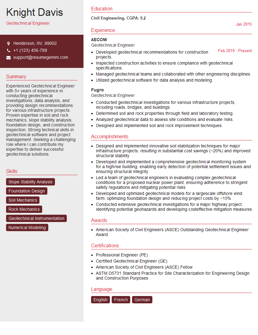
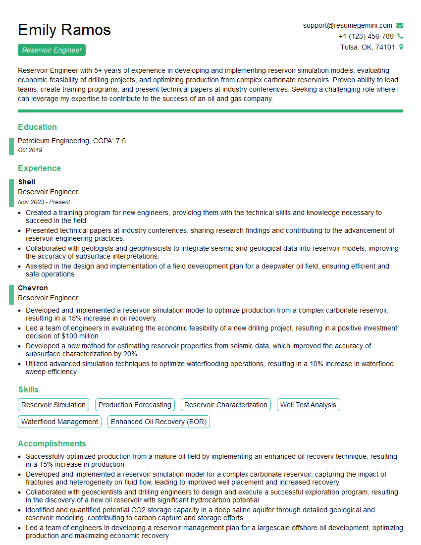
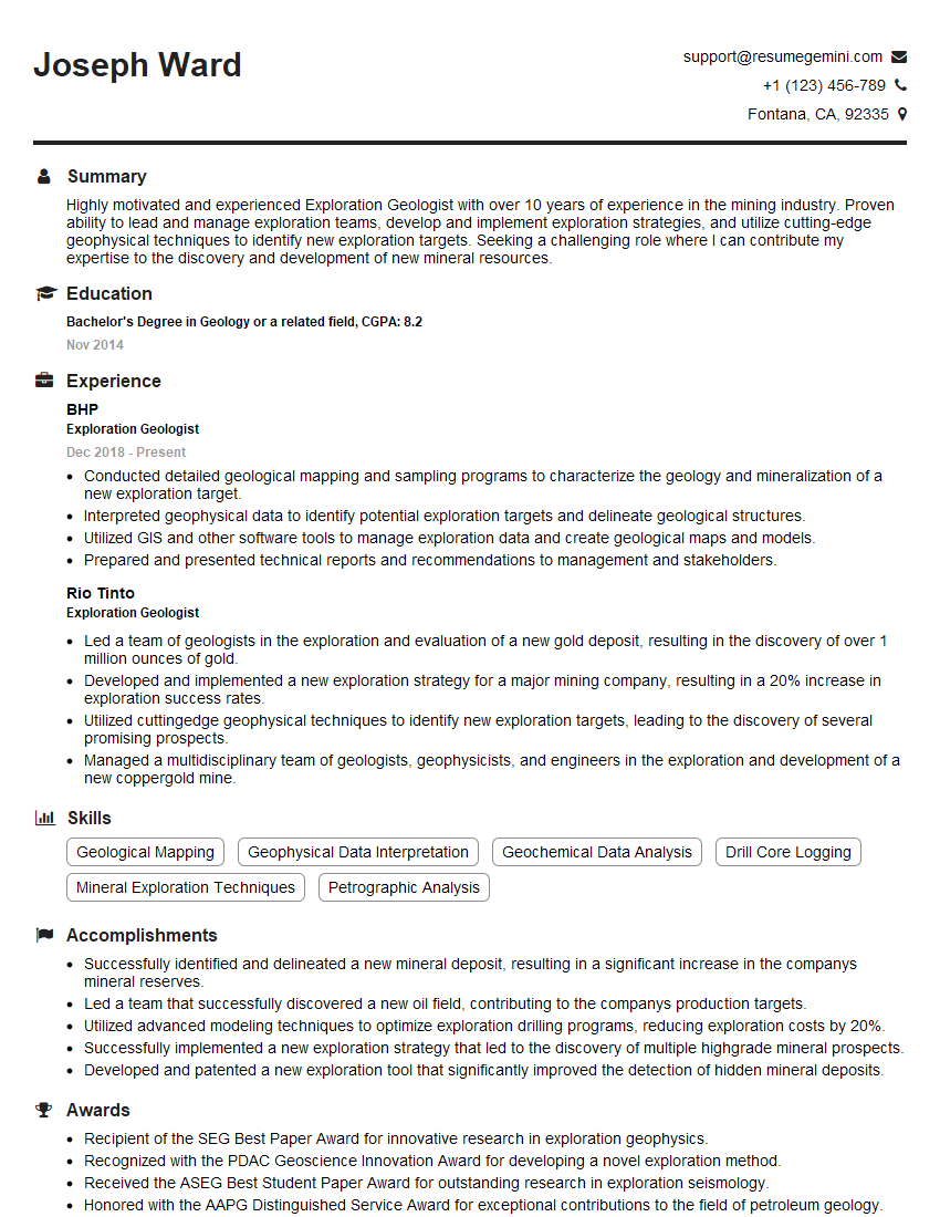
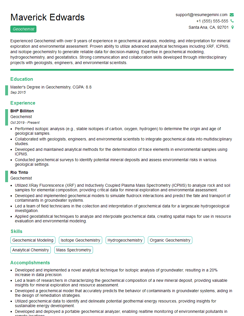
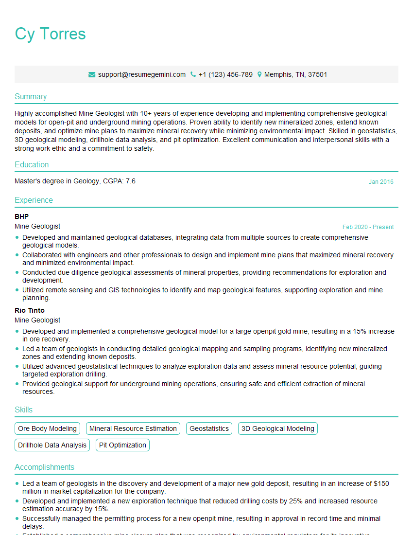
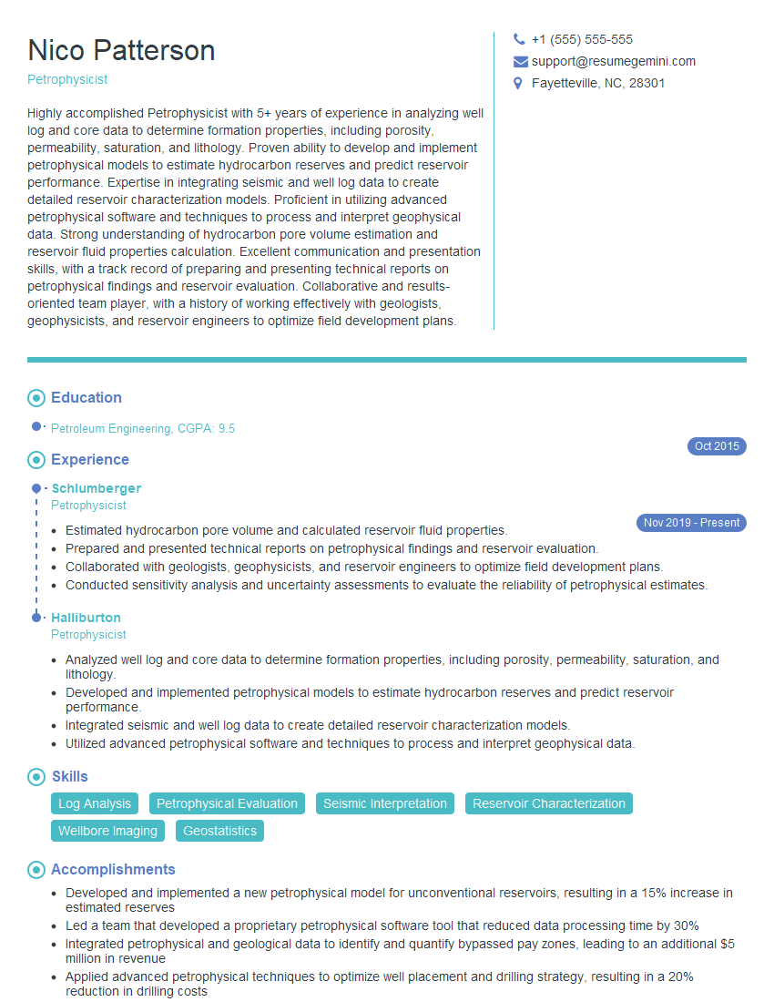
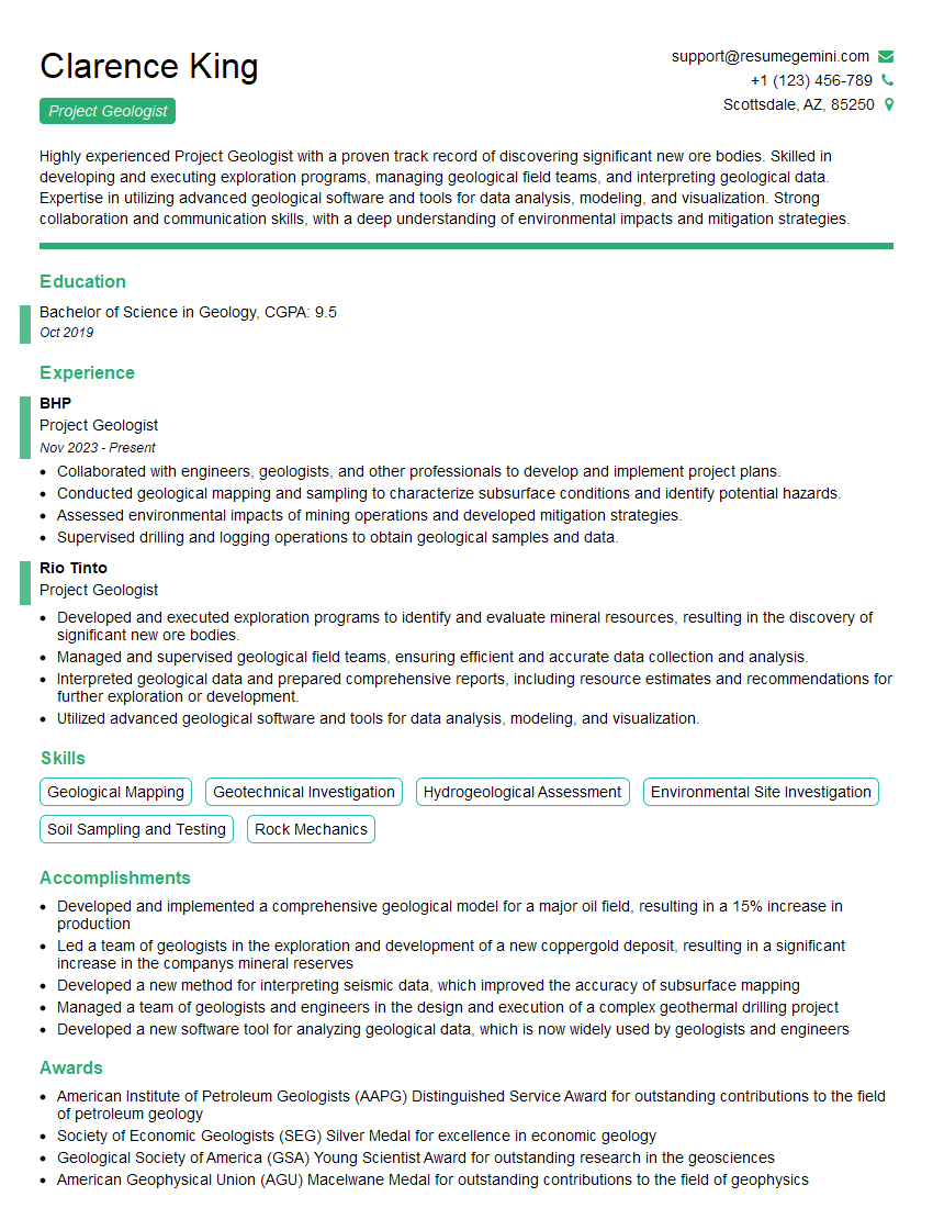
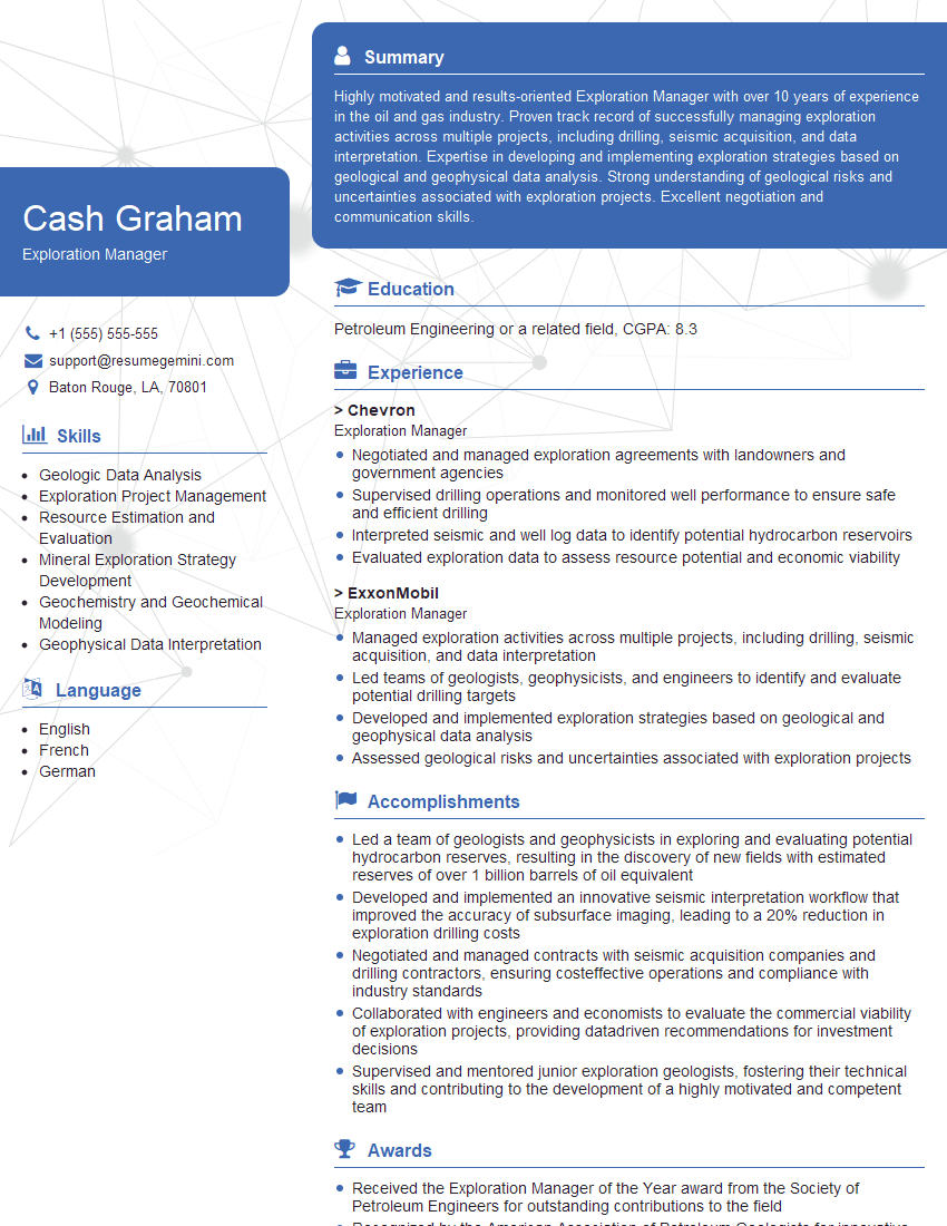
Mastering the concepts of mineral exploration and resource evaluation significantly enhances your career prospects within the mining and exploration industry. It opens doors to more senior roles, higher salaries, and increased responsibility. To stand out, create an ATS-friendly resume that effectively highlights your skills and experience. ResumeGemini is a trusted resource that can help you build a professional and impactful resume, maximizing your chances of securing your dream job. Examples of resumes tailored to Experience in Mineral Exploration and Resource Evaluation are available to guide you.
Explore more articles
Users Rating of Our Blogs
Share Your Experience
We value your feedback! Please rate our content and share your thoughts (optional).
What Readers Say About Our Blog
Hi, I have something for you and recorded a quick Loom video to show the kind of value I can bring to you.
Even if we don’t work together, I’m confident you’ll take away something valuable and learn a few new ideas.
Here’s the link: https://bit.ly/loom-video-daniel
Would love your thoughts after watching!
– Daniel
This was kind of a unique content I found around the specialized skills. Very helpful questions and good detailed answers.
Very Helpful blog, thank you Interviewgemini team.
