Feeling uncertain about what to expect in your upcoming interview? We’ve got you covered! This blog highlights the most important Geology and Ecology interview questions and provides actionable advice to help you stand out as the ideal candidate. Let’s pave the way for your success.
Questions Asked in Geology and Ecology Interview
Q 1. Explain the rock cycle.
The rock cycle is a continuous process that describes the transformation of Earth’s rocks from one type to another. Imagine it as a never-ending loop, where rocks are constantly being formed, broken down, and reformed. This cycle involves three main rock types: igneous, sedimentary, and metamorphic.
Igneous rocks form from the cooling and solidification of molten rock (magma or lava). Think of volcanoes erupting and the lava hardening into basalt or granite.
Sedimentary rocks form from the accumulation and cementation of sediments—fragments of other rocks, minerals, or organic matter. Imagine sand on a beach compacting and hardening over millions of years into sandstone. This process often involves erosion, transportation, and deposition.
Metamorphic rocks are formed when existing rocks are subjected to high temperatures and pressures, changing their mineral composition and structure. Imagine the immense pressure deep within the Earth transforming shale into slate, or limestone into marble. This can occur near plate boundaries or during mountain building.
These three rock types are interconnected. Igneous rocks can weather and erode to form sediments, which then become sedimentary rocks. Both igneous and sedimentary rocks can be transformed into metamorphic rocks under sufficient heat and pressure. The cycle continues as these metamorphic rocks can be melted to form magma, starting the cycle anew.
Q 2. Describe the different types of plate boundaries.
Plate boundaries are the regions where Earth’s tectonic plates meet. The interaction at these boundaries shapes our planet’s surface, causing earthquakes, volcanoes, and mountain ranges. There are three main types:
Divergent boundaries: These are where plates move apart, allowing magma from the mantle to rise and create new crust. A classic example is the Mid-Atlantic Ridge, where the North American and Eurasian plates are separating, leading to seafloor spreading.
Convergent boundaries: Here, plates collide. The outcome depends on the type of plates involved. If two oceanic plates collide, one might subduct (slide) beneath the other, forming a deep ocean trench and volcanic island arc (like Japan). If an oceanic plate collides with a continental plate, the denser oceanic plate subducts, creating a volcanic mountain range along the continental margin (like the Andes Mountains). If two continental plates collide, they crumple and uplift, forming massive mountain ranges (like the Himalayas).
Transform boundaries: At these boundaries, plates slide past each other horizontally. This movement can cause significant friction, leading to frequent earthquakes. The San Andreas Fault in California is a prime example of a transform boundary.
Understanding plate boundaries is crucial for predicting and mitigating geological hazards, like earthquakes and volcanic eruptions.
Q 3. What are the major factors influencing soil formation?
Soil formation, or pedogenesis, is a complex process influenced by several interacting factors, often remembered using the acronym CLORPT:
Climate: Temperature and precipitation significantly impact weathering rates, organic matter decomposition, and nutrient cycling. Arid climates produce thinner soils, while humid climates support thicker, more developed soils.
Organisms: Plants, animals, bacteria, and fungi contribute to organic matter accumulation, nutrient cycling, and soil structure. The type of vegetation significantly influences soil properties.
Relief (Topography): Slope steepness, aspect (direction), and elevation influence erosion, water drainage, and soil depth. Steeper slopes have thinner soils due to increased erosion.
Parent material: The underlying rock or sediment from which the soil develops dictates its initial mineral composition and texture. Basalt-derived soils will differ significantly from sandstone-derived soils.
Time: Soil formation is a slow process that can take thousands of years. The age of a soil influences its depth, development, and maturity.
The interaction of these factors leads to diverse soil types across the globe, each with unique properties influencing its suitability for agriculture and other land uses.
Q 4. Explain the process of groundwater recharge and discharge.
Groundwater recharge and discharge describe the movement of water into and out of aquifers (underground layers of permeable rock or sediment that hold groundwater).
Recharge: This is the process of water entering an aquifer. It occurs when precipitation (rain or snow) seeps into the ground, percolating through the soil and underlying layers until it reaches the saturated zone (where the pores are filled with water). Other sources of recharge include infiltration from rivers and lakes, and leakage from canals or reservoirs.
Discharge: This is the process of water leaving an aquifer. It can occur naturally through springs (where groundwater flows to the surface), seepage into rivers or lakes, and evapotranspiration (water uptake by plants and subsequent evaporation). Humans also extract groundwater through wells, representing a form of discharge.
The balance between recharge and discharge determines the sustainability of groundwater resources. Over-extraction of groundwater can lead to aquifer depletion, land subsidence, and saltwater intrusion in coastal areas. Managing groundwater resources requires careful consideration of both recharge and discharge processes.
Q 5. What are the key components of a healthy ecosystem?
A healthy ecosystem is characterized by a complex interplay of biotic (living) and abiotic (non-living) components, all working in dynamic equilibrium. Key components include:
Biodiversity: A high diversity of species ensures resilience and stability. Various plants, animals, fungi, and microorganisms contribute to nutrient cycling, energy flow, and ecosystem services.
Nutrient cycling: The efficient cycling of essential nutrients (carbon, nitrogen, phosphorus) is vital for primary productivity and overall ecosystem health. Decomposers play a crucial role in this process.
Energy flow: The transfer of energy through the food web, from producers (plants) to consumers (animals), is essential for maintaining the ecosystem’s structure and function.
Abiotic factors: Suitable physical and chemical conditions, including temperature, water availability, soil type, and sunlight, are crucial for supporting life. These factors vary widely across ecosystems.
Homeostasis: The ability of the ecosystem to maintain a relatively stable state despite disturbances. This resilience depends on the complexity and diversity of the ecosystem.
Maintaining the balance of these components is crucial for ecosystem health and the services they provide to humans, including clean water, clean air, and food security.
Q 6. Describe the concept of ecological succession.
Ecological succession is the gradual process of change in species composition and community structure over time, following a disturbance. Think of it as a series of stages an ecosystem goes through as it recovers from a disruption.
Primary succession: This occurs in areas completely devoid of life, such as bare rock after a volcanic eruption. Pioneer species, like lichens and mosses, colonize the area first, gradually creating soil. Over time, more complex plants and animals establish themselves.
Secondary succession: This happens in areas where some life remains after a disturbance, such as a forest fire or abandoned farmland. The process is faster than primary succession because soil and some organisms are already present. Weedy species often colonize first, followed by shrubs and eventually trees, leading to a more mature ecosystem.
Succession is driven by interactions between species, changes in environmental conditions, and random events. The climax community, the final stable stage of succession, is often (but not always) a forest, reflecting the regional climate and other environmental conditions.
Q 7. What are some common methods used in environmental remediation?
Environmental remediation involves cleaning up contaminated sites to reduce risks to human health and the environment. Methods vary depending on the type and extent of contamination.
Bioremediation: Using living organisms (bacteria, fungi, plants) to break down or remove pollutants. This is a cost-effective and environmentally friendly approach for some contaminants.
Phytoremediation: Using plants to extract, degrade, or stabilize pollutants in soil or water. This is particularly effective for heavy metals and some organic compounds. Examples include using sunflowers to remove radioactive materials from contaminated soil.
Bioaugmentation: Introducing specific microorganisms to enhance the biodegradation of pollutants. This speeds up the natural remediation processes.
Pump and treat: Removing contaminated groundwater by pumping it to the surface, treating it, and then re-injecting the cleaned water or disposing of it properly. This is commonly used for groundwater contamination by solvents or petroleum products.
Soil excavation and disposal: Removing and disposing of contaminated soil in a hazardous waste landfill. This is a more expensive method but is necessary for highly contaminated areas where other methods are not effective.
The choice of remediation method depends on various factors, including the type and level of contamination, the site characteristics, and cost-effectiveness. Often, a combination of methods is used to achieve the desired level of cleanup.
Q 8. Explain the principles of bioremediation.
Bioremediation harnesses the power of living organisms, primarily microorganisms like bacteria and fungi, to degrade or remove pollutants from the environment. It’s a cost-effective and environmentally friendly approach to cleaning up contaminated soil, water, and air.
The principles revolve around selecting the right organisms for the specific pollutant. For example, certain bacteria thrive on breaking down oil spills, while others are effective at degrading pesticides. The process often involves optimizing conditions like temperature, pH, and nutrient availability to encourage microbial activity. Sometimes, the process is enhanced by adding nutrients or oxygen to stimulate the microorganisms.
Example: After an oil spill, bioremediation techniques can be employed by spraying specialized fertilizers onto the affected area to promote the growth of oil-degrading bacteria. This speeds up the natural degradation process and minimizes the long-term environmental damage.
Q 9. What are the different types of pollution and their environmental impacts?
Pollution encompasses the introduction of harmful substances or contaminants into the environment, disrupting its natural balance. Several types exist, each with distinct impacts:
- Air Pollution: Caused by emissions from vehicles, industries, and natural events like volcanic eruptions. Impacts include respiratory illnesses, acid rain, and climate change.
- Water Pollution: Stems from industrial discharge, agricultural runoff (pesticides, fertilizers), sewage, and oil spills. Consequences range from algal blooms (eutrophication) that deplete oxygen, harming aquatic life, to contamination of drinking water sources posing risks to human health.
- Soil Pollution: Arises from improper waste disposal, industrial activities, and agricultural practices. Contaminants like heavy metals and pesticides can leach into groundwater, impacting drinking water quality and harming plant life. Soil erosion reduces its fertility.
- Noise Pollution: Excessive noise from traffic, construction, and industries negatively affects human and animal health, causing stress, hearing loss, and disruption of natural ecosystems.
- Light Pollution: Excessive artificial light at night disrupts ecosystems, affecting nocturnal animals’ navigation and breeding patterns. It also impacts astronomical observations.
The cumulative effect of these pollution types can lead to biodiversity loss, habitat destruction, and widespread environmental degradation.
Q 10. Describe the carbon cycle.
The carbon cycle describes the continuous movement of carbon atoms through various reservoirs on Earth – the atmosphere, oceans, land, and living organisms. It’s a crucial biogeochemical cycle, influencing climate and supporting life.
The process involves several key steps:
- Photosynthesis: Plants and other photosynthetic organisms absorb carbon dioxide (CO2) from the atmosphere and convert it into organic matter (sugars) using sunlight.
- Respiration: Organisms release CO2 back into the atmosphere through respiration, breaking down organic matter for energy.
- Decomposition: When plants and animals die, decomposers (bacteria and fungi) break down their organic matter, releasing CO2 into the atmosphere or soil.
- Ocean Uptake: The oceans act as a significant carbon sink, absorbing CO2 from the atmosphere. This CO2 can be incorporated into marine organisms or dissolved in the water.
- Combustion: Burning fossil fuels (coal, oil, natural gas) releases large amounts of CO2 stored underground into the atmosphere.
Human activities, particularly the burning of fossil fuels and deforestation, have significantly disrupted the natural carbon cycle, leading to increased atmospheric CO2 concentrations and climate change.
Q 11. What are the major greenhouse gases and their sources?
Greenhouse gases (GHGs) trap heat in the Earth’s atmosphere, contributing to the greenhouse effect and global warming. The major ones include:
- Carbon Dioxide (CO2): Primarily from burning fossil fuels, deforestation, and industrial processes.
- Methane (CH4): Released from livestock, natural gas leaks, rice cultivation, and landfills. It’s a more potent GHG than CO2, but with a shorter atmospheric lifespan.
- Nitrous Oxide (N2O): Emitted from agricultural activities, industrial processes, and burning fossil fuels.
- Fluorinated Gases: Synthetic gases used in various industrial applications (refrigerants, aerosols). They are extremely potent GHGs with long atmospheric lifetimes.
Understanding the sources of these gases is crucial for developing effective mitigation strategies to reduce their emissions and combat climate change.
Q 12. Explain the concept of biodiversity and its importance.
Biodiversity refers to the variety of life at all levels, from genes to ecosystems. It encompasses the diversity within species (genetic diversity), between species (species diversity), and of ecosystems (ecosystem diversity).
Importance:
- Ecosystem Services: Biodiversity underpins essential ecosystem services like clean water, pollination, climate regulation, and soil fertility.
- Economic Benefits: It provides resources like food, medicine, and timber, supporting livelihoods and economies.
- Resilience: Diverse ecosystems are more resilient to disturbances like climate change and disease outbreaks.
- Ethical Considerations: Many believe we have a moral obligation to protect biodiversity and prevent species extinction.
Loss of biodiversity poses significant risks to human well-being and the stability of the planet.
Q 13. What are some common geological hazards and how can they be mitigated?
Geological hazards are natural events arising from geological processes, posing risks to life and property. Examples include:
- Earthquakes: Sudden ground shaking caused by tectonic plate movement. Mitigation involves building earthquake-resistant structures, developing early warning systems, and land-use planning to avoid high-risk areas.
- Volcanic Eruptions: Eruptions release lava, ash, and gases, potentially causing widespread destruction. Mitigation involves monitoring volcanic activity, establishing evacuation plans, and developing protective infrastructure.
- Landslides: Mass movements of rock and soil down slopes, often triggered by rainfall or earthquakes. Mitigation includes land-use planning, stabilization measures (e.g., retaining walls), and early warning systems.
- Floods: Overflows of water onto land, caused by heavy rainfall, river overflows, or coastal storm surges. Mitigation involves flood control measures (dams, levees), improved drainage systems, and flood-resistant construction.
Effective hazard mitigation requires a multi-faceted approach involving scientific understanding, engineering solutions, and community preparedness.
Q 14. Describe the process of interpreting geological maps.
Interpreting geological maps involves understanding the symbols, colors, and lines to reconstruct the geological history and structure of an area. It’s a fundamental skill for geologists.
Steps:
- Identify the Map Elements: Understand the map’s scale, legend (explaining symbols and colors), and the types of geological data presented (e.g., rock formations, faults, folds).
- Analyze Rock Units: Identify different rock formations based on their colors, patterns, and symbols. The legend provides information about the age and type of rocks.
- Interpret Structures: Look for evidence of geological structures like faults (fractures in rocks) and folds (bending of rock layers). Their orientation and displacement indicate tectonic activity.
- Reconstruct Geological History: Use the principles of stratigraphy (the study of rock layers) and structural geology to reconstruct the sequence of geological events that formed the area. Younger rocks usually overlay older rocks, unless faulting or folding has occurred.
- Consider Cross-sections: If available, examine cross-sections (vertical slices through the earth) to visualize the subsurface geology in three dimensions.
Interpreting geological maps is crucial for various applications, from mineral exploration and resource assessment to hazard assessment and environmental management.
Q 15. Explain the concept of sustainable development.
Sustainable development is meeting the needs of the present without compromising the ability of future generations to meet their own needs. It’s a balancing act between economic growth, social equity, and environmental protection. Think of it like baking a cake: you need the right ingredients (economic development, social progress) in the right proportions, and you can’t overbake it (degrade the environment). It’s not just about preserving the planet; it’s about ensuring a healthy and prosperous future for everyone.
The concept integrates three pillars:
- Environmental Sustainability: Conserving natural resources, minimizing pollution, and protecting biodiversity. This includes managing water resources responsibly, reducing greenhouse gas emissions, and promoting sustainable agriculture.
- Economic Sustainability: Ensuring long-term economic growth that doesn’t deplete resources or create unsustainable debt. This focuses on creating resilient economies that can adapt to change and provide opportunities for all.
- Social Sustainability: Promoting social equity, justice, and well-being. This includes access to education, healthcare, and decent work, as well as fostering inclusive communities.
A practical example is the development of renewable energy sources like solar and wind power. This addresses environmental sustainability by reducing reliance on fossil fuels, economic sustainability by creating new jobs and industries, and social sustainability by improving air quality and public health.
Career Expert Tips:
- Ace those interviews! Prepare effectively by reviewing the Top 50 Most Common Interview Questions on ResumeGemini.
- Navigate your job search with confidence! Explore a wide range of Career Tips on ResumeGemini. Learn about common challenges and recommendations to overcome them.
- Craft the perfect resume! Master the Art of Resume Writing with ResumeGemini’s guide. Showcase your unique qualifications and achievements effectively.
- Don’t miss out on holiday savings! Build your dream resume with ResumeGemini’s ATS optimized templates.
Q 16. How do you assess the environmental impact of a project?
Assessing the environmental impact of a project involves a systematic process known as an Environmental Impact Assessment (EIA). This typically includes:
- Baseline Studies: Characterizing the existing environment. This involves collecting data on air and water quality, flora and fauna, soil conditions, and noise levels. We use various techniques like ecological surveys, water sampling, and geological mapping.
- Impact Prediction: Identifying potential environmental impacts (positive and negative) from the project. This uses models and simulations to forecast changes in the environment. For example, a proposed dam’s impact on downstream water flow and aquatic life.
- Mitigation Measures: Developing strategies to reduce or avoid negative impacts. This could involve implementing pollution control technologies, creating wildlife corridors, or restoring degraded habitats.
- Monitoring and Evaluation: Tracking the actual impacts of the project and the effectiveness of mitigation measures. This involves ongoing data collection and analysis to ensure the project’s environmental performance.
For instance, when assessing a mining project, we’d analyze potential impacts on water resources, soil erosion, habitat loss, and air quality. We’d then propose strategies like water treatment, reforestation, and dust suppression.
Q 17. What are some common ecological monitoring techniques?
Ecological monitoring employs a range of techniques to assess the health and functioning of ecosystems. Common methods include:
- Species Surveys: Counting and identifying plants and animals to assess biodiversity and population trends. This can involve visual surveys, trapping, or camera traps.
- Habitat Assessment: Mapping and characterizing habitats, assessing their quality and extent. This might involve remote sensing, ground surveys, and habitat modeling.
- Water Quality Monitoring: Measuring various parameters in water bodies, such as pH, dissolved oxygen, and nutrient levels. Water samples are collected and analyzed in a laboratory.
- Soil Analysis: Assessing soil properties like pH, organic matter content, and nutrient levels. This informs us about soil health and its ability to support vegetation.
- Remote Sensing: Using satellite or aerial imagery to monitor changes in vegetation cover, land use, and other environmental variables. This provides a large-scale perspective.
For example, in a forest ecosystem, we might monitor tree growth, the abundance of indicator species, and soil nutrient levels to assess the forest’s health and resilience.
Q 18. Describe your experience with GIS software and its applications in environmental science.
I have extensive experience with GIS (Geographic Information System) software, primarily ArcGIS and QGIS. I utilize GIS for various applications in environmental science, including:
- Spatial Data Analysis: Analyzing the spatial distribution of environmental variables like pollution levels, habitat types, and species occurrences. I use tools like spatial interpolation and overlay analysis.
- Environmental Modeling: Creating and running environmental models, such as habitat suitability models or hydrological models. This involves integrating various datasets into GIS and using appropriate spatial analysis tools.
- Mapping and Visualization: Creating maps and visualizations to communicate environmental data effectively. This is crucial for communicating findings to stakeholders and decision-makers.
- Data Management: Organizing and managing large environmental datasets. GIS provides a framework for storing, accessing, and analyzing spatial data.
For instance, in a recent project, I used ArcGIS to model the potential spread of an invasive plant species based on climate and soil conditions. This helped identify areas at high risk and inform management strategies.
Q 19. Explain your understanding of remote sensing and its use in ecological studies.
Remote sensing involves acquiring information about the Earth’s surface without direct physical contact. This is primarily done using satellites and aircraft carrying sensors that capture electromagnetic radiation reflected or emitted from the Earth’s surface. In ecological studies, remote sensing provides:
- Large-Scale Monitoring: Observing broad spatial patterns in vegetation cover, land use, and habitat fragmentation. This is especially useful for large, remote areas.
- Temporal Monitoring: Tracking changes in ecosystems over time, such as deforestation, wetland loss, or the spread of invasive species. Repeated observations reveal trends.
- Habitat Mapping: Identifying and classifying different habitats based on spectral signatures. This is valuable for biodiversity assessments.
- Environmental Change Detection: Detecting changes in environmental conditions, such as drought or sea-level rise. This supports environmental management and conservation efforts.
For example, I’ve used Landsat imagery to monitor changes in forest cover in a tropical region over several decades. The analysis revealed deforestation patterns linked to agricultural expansion, providing valuable data for conservation planning.
Specific applications include using spectral indices like NDVI (Normalized Difference Vegetation Index) to assess vegetation health and biomass.
Q 20. Describe a time you had to troubleshoot a complex environmental problem.
During a project assessing the impact of a proposed highway on a wetland ecosystem, we encountered unexpected high levels of heavy metals in the wetland sediment. Initial assessments hadn’t identified this. To troubleshoot, we:
- Reviewed existing data: We meticulously reviewed previous environmental reports and geological surveys for clues about potential contamination sources.
- Conducted additional sampling: We collected additional sediment and water samples for more comprehensive heavy metal analysis. We also expanded sampling locations.
- Investigated potential sources: We investigated nearby industrial sites and historical land use to identify potential sources of contamination.
- Developed a contaminant transport model: We used GIS and hydrological modeling to understand how the contaminants might have reached the wetland and to predict their future distribution.
- Recommended remedial actions: Based on our findings, we recommended remediation strategies such as sediment removal or capping, and stricter environmental regulations for the highway construction.
The problem highlighted the importance of thorough initial site assessments and the need for flexibility and adaptability when unexpected issues arise in environmental projects. It also underscored the power of integrated approaches involving field investigation, laboratory analysis, and modeling.
Q 21. How do you stay up-to-date with the latest advancements in geology and ecology?
Staying current in geology and ecology requires a multi-faceted approach:
- Scientific Journals and Publications: Regularly reading peer-reviewed journals like Science, Nature, Geology, and specialized journals in ecology and related fields. I also utilize online databases like Web of Science and Scopus.
- Conferences and Workshops: Attending relevant conferences and workshops to learn about the latest research and network with other professionals. This facilitates knowledge exchange and collaboration.
- Professional Organizations: Actively participating in professional organizations like the Geological Society of America (GSA) or the Ecological Society of America (ESA). Membership provides access to resources and networking opportunities.
- Online Courses and Webinars: Taking advantage of online courses and webinars offered by universities and professional organizations to learn new skills and techniques.
- Networking: Regularly engaging with colleagues and experts in the field through discussions, collaborations, and attending seminars. This fosters continuous learning and information sharing.
This combination of formal and informal learning ensures that my knowledge base remains current and relevant to the ever-evolving landscape of geology and ecology.
Q 22. What are your strengths and weaknesses as an environmental scientist?
My strengths as an environmental scientist lie in my strong foundation in both geology and ecology. I’m adept at integrating geological processes with ecological responses to understand complex environmental systems. For example, I can analyze soil composition to predict the success of a reforestation project, or I can model the impact of geological changes on local biodiversity. My data analysis skills, particularly in GIS and statistical modeling, are also significant assets. I’m proficient in interpreting complex datasets and communicating findings effectively through reports and presentations.
However, like everyone, I have areas for improvement. While I’m confident in my technical skills, I am continually working on enhancing my project management abilities, particularly in coordinating large-scale interdisciplinary projects with multiple stakeholders. This involves proactively anticipating potential delays or conflicts and developing robust mitigation strategies.
Q 23. What are your salary expectations?
My salary expectations are in line with the market rate for an environmental scientist with my experience and qualifications in this region. I’m open to discussing this further based on the specifics of the role and the compensation package offered.
Q 24. Why are you interested in this specific position?
This position particularly interests me because it combines my passion for field research with the opportunity to contribute to impactful conservation efforts. The focus on [mention specific focus area of the job, e.g., ‘restoration of degraded wetlands’] directly aligns with my expertise in [mention relevant expertise, e.g., ‘hydrogeology and wetland ecology’]. The chance to work with a team committed to [mention company values or project goals, e.g., ‘sustainable land management’] is extremely appealing. I believe my skills and experience will enable me to make significant contributions to your team’s success.
Q 25. Describe your experience with field work and data collection.
My fieldwork experience is extensive, encompassing various geological and ecological surveys. For instance, during my master’s research, I conducted extensive field work to assess the impact of mining activities on water quality in a nearby river system. This involved collecting water samples, analyzing sediment cores, and conducting benthic invertebrate surveys. Data collection involved using sophisticated equipment such as a YSI multi-parameter water quality sonde and a sediment corer. I meticulously documented all procedures, ensuring data integrity and traceability. I’m experienced in using GPS for georeferencing data points and maintaining accurate field logs. I also have experience managing fieldwork teams, ensuring efficient and safe operations in diverse environments. I’m equally comfortable working independently and collaboratively on field projects.
Q 26. Explain your understanding of environmental regulations and compliance.
My understanding of environmental regulations and compliance is robust. I’m familiar with federal, state, and local environmental laws relevant to my work, including [mention specific regulations, e.g., the Clean Water Act, the Endangered Species Act]. I have experience with environmental impact assessments (EIAs) and understand the process of obtaining necessary permits. For example, during a previous project, I successfully navigated the permitting process for a stream restoration project, ensuring full compliance with all relevant regulations. This included preparing comprehensive permit applications, collaborating with regulatory agencies, and maintaining detailed compliance records. I’m committed to adhering to all applicable regulations and best practices to minimize environmental impact.
Q 27. How do you handle conflicting priorities in a project?
Handling conflicting priorities in a project requires a systematic approach. I start by clearly defining project goals and objectives, prioritizing tasks based on their urgency and importance, using techniques like a prioritization matrix. Then, I openly communicate with stakeholders to manage expectations and find mutually acceptable solutions. If necessary, I’ll utilize project management tools like Gantt charts to visualize timelines and allocate resources effectively. For example, in a previous project where we had limited budget and time constraints, I prioritized the most critical tasks first, delegating less critical ones to other team members with appropriate expertise, and regularly communicated progress to all stakeholders. This transparent approach ensured that everyone was informed and we ultimately delivered a successful project.
Q 28. What are your long-term career goals in this field?
My long-term career goals involve advancing my expertise in environmental science, specifically in [mention specific area of interest, e.g., sustainable land management]. I aim to contribute to significant research and practical applications that address pressing environmental challenges. I envision myself taking on leadership roles in conservation projects, potentially working towards creating innovative solutions for environmental sustainability. My ultimate goal is to make a substantial and lasting positive impact on environmental health and conservation.
Key Topics to Learn for Geology and Ecology Interview
- Geological Processes: Understanding plate tectonics, rock formations, weathering, erosion, and their impact on landscapes. Consider practical applications in geological mapping and hazard assessment.
- Hydrogeology: Explore groundwater flow, aquifer systems, and water resource management. Think about case studies involving groundwater contamination and remediation.
- Ecosystem Dynamics: Master concepts like energy flow, nutrient cycling, biodiversity, and ecological succession. Consider real-world applications in conservation biology and habitat restoration.
- Environmental Geochemistry: Focus on the chemical interactions between geological materials and biological systems. Explore applications in pollution assessment and remediation.
- Remote Sensing and GIS: Develop skills in interpreting satellite imagery and using GIS software for spatial analysis in both geological and ecological contexts. Think about applications in mapping habitats, monitoring environmental change, and resource management.
- Field Techniques and Data Analysis: Practice your skills in data collection, analysis, and interpretation using various methods like sampling, laboratory techniques, and statistical software. Be prepared to discuss your experience in fieldwork and data interpretation.
- Environmental Impact Assessment (EIA): Understand the principles and methodologies involved in evaluating the environmental consequences of projects. Consider how geological and ecological factors are incorporated into EIA studies.
- Climate Change Impacts: Explore the influence of climate change on geological processes and ecosystems, focusing on both the impacts and potential mitigation strategies.
Next Steps
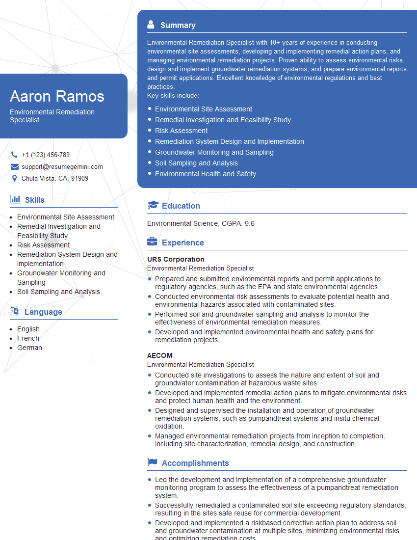
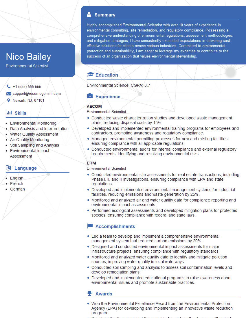
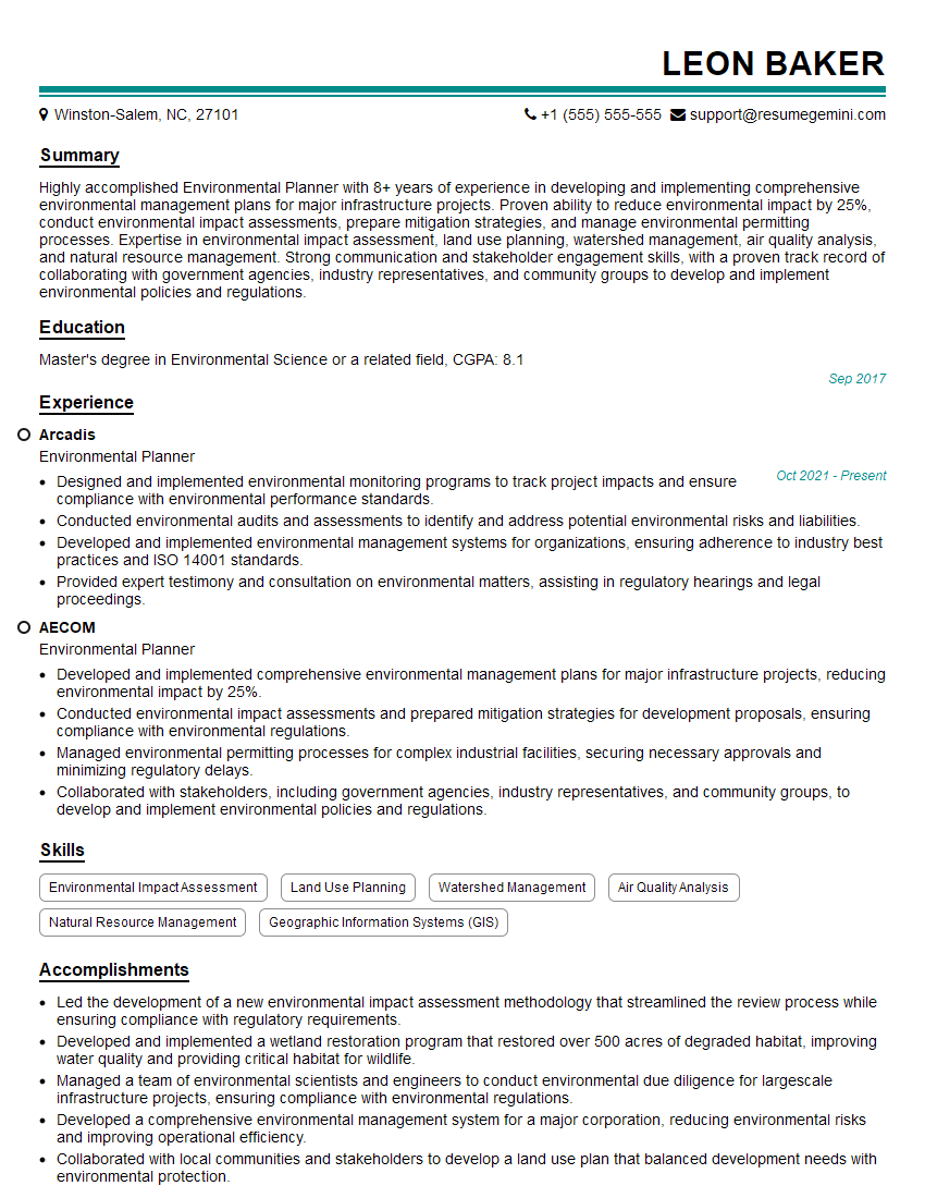
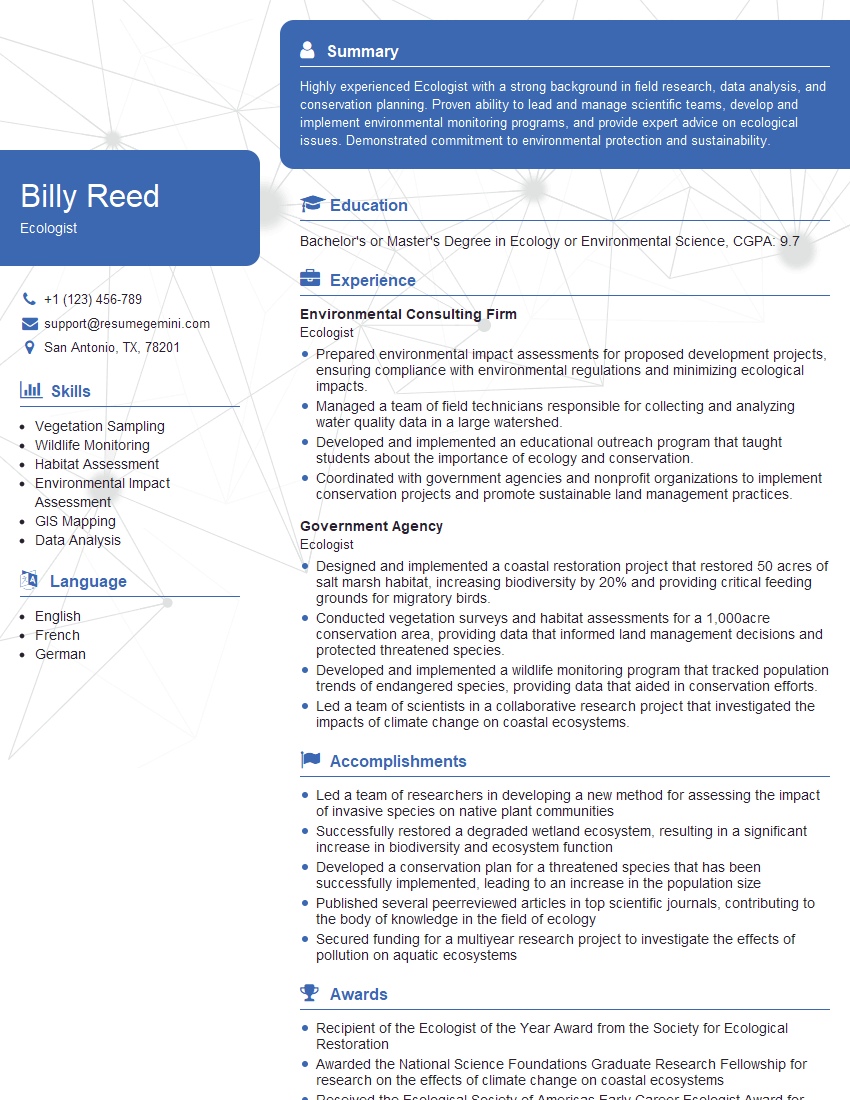
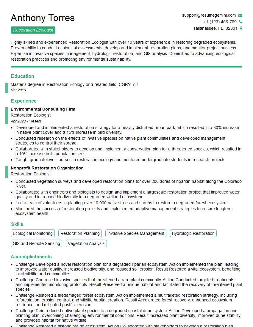
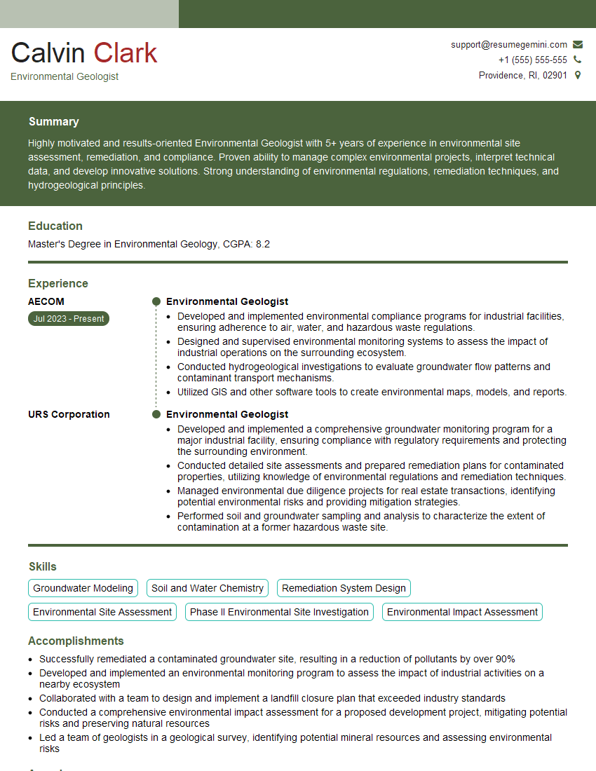
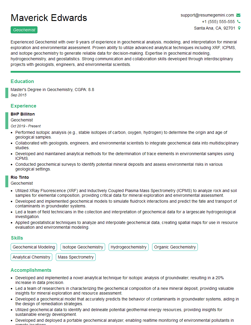
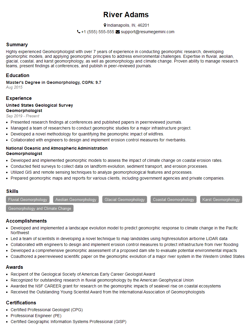
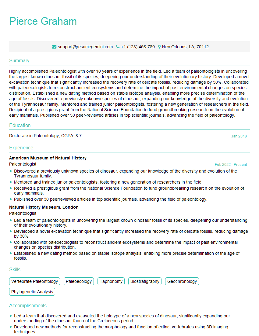
Mastering Geology and Ecology opens doors to exciting and impactful careers in environmental consulting, resource management, research, and government agencies. To maximize your job prospects, creating a strong, ATS-friendly resume is crucial. A well-crafted resume effectively highlights your skills and experience, increasing your chances of landing an interview. ResumeGemini is a trusted resource that can help you build a professional and impactful resume tailored to your specific experience in Geology and Ecology. Examples of resumes specifically designed for these fields are available to guide you.
Explore more articles
Users Rating of Our Blogs
Share Your Experience
We value your feedback! Please rate our content and share your thoughts (optional).
What Readers Say About Our Blog
To the interviewgemini.com Webmaster.
Very helpful and content specific questions to help prepare me for my interview!
Thank you
To the interviewgemini.com Webmaster.
This was kind of a unique content I found around the specialized skills. Very helpful questions and good detailed answers.
Very Helpful blog, thank you Interviewgemini team.

