Are you ready to stand out in your next interview? Understanding and preparing for Land-Use Planning interview questions is a game-changer. In this blog, we’ve compiled key questions and expert advice to help you showcase your skills with confidence and precision. Let’s get started on your journey to acing the interview.
Questions Asked in Land-Use Planning Interview
Q 1. Explain the difference between zoning and subdivision regulations.
Zoning and subdivision regulations are both crucial tools in land-use planning, but they address different aspects of land development. Think of zoning as the big picture and subdivision regulations as the fine details.
Zoning dictates the permitted uses of land within a specific area. It designates zones for residential, commercial, industrial, agricultural, or mixed uses. For example, a residential zone might restrict building heights, density, and the types of structures allowed (single-family homes versus apartments). Zoning ordinances aim to organize land use, protect property values, and guide community growth.
Subdivision regulations, on the other hand, govern the physical division of a parcel of land into smaller lots. These regulations detail requirements for roads, utilities (water, sewer, electricity), drainage, open space, and lot sizes. They ensure new developments are adequately serviced and safe. For instance, subdivision regulations might mandate minimum lot sizes, setbacks from property lines, and the installation of sidewalks.
In essence, zoning determines what can be built, while subdivision regulations dictate how it is built and the infrastructure needed to support it. They work in tandem to shape the built environment.
Q 2. Describe the process of creating a comprehensive plan.
Creating a comprehensive plan is a collaborative and iterative process involving extensive community engagement, data analysis, and professional expertise. It’s like creating a roadmap for the future of a community.
- Community Involvement: The process begins with extensive public input through surveys, public forums, and workshops to understand community visions, needs, and concerns.
- Data Collection and Analysis: This involves gathering demographic data, assessing existing land use patterns, analyzing infrastructure capacity, and evaluating environmental conditions. This informs the plan’s goals and strategies.
- Visioning and Goal Setting: Based on community input and data analysis, a shared vision for the future is developed. This vision translates into specific, measurable, achievable, relevant, and time-bound (SMART) goals.
- Plan Development: The plan outlines strategies and policies to achieve the stated goals. This might include land-use designations, transportation plans, infrastructure improvements, and environmental protection measures.
- Implementation and Monitoring: The plan is implemented through zoning ordinances, capital improvement projects, and ongoing monitoring to track progress and make necessary adjustments. Regular updates and revisions ensure the plan remains relevant and responsive to changing circumstances.
For example, a comprehensive plan might prioritize affordable housing, improve public transit, or protect natural resources. It serves as a guide for all future land-use decisions, ensuring consistent and sustainable development.
Q 3. What are the key components of a successful environmental impact assessment?
A successful environmental impact assessment (EIA) is a systematic process designed to identify, predict, evaluate, and mitigate the environmental impacts of a proposed project. It’s akin to a pre-construction health check for the environment.
- Baseline Studies: Thorough documentation of the existing environmental conditions. This includes analyzing air and water quality, assessing biodiversity, evaluating noise levels, and studying potential hazards.
- Impact Prediction: Identifying potential environmental impacts—both positive and negative—that the project could cause. This involves modeling the effects on various environmental components.
- Impact Evaluation: Assessing the significance of the predicted impacts. This often involves comparing them against environmental standards or regulations. The severity, duration, and geographic extent of impacts are carefully considered.
- Mitigation Measures: Developing strategies to avoid, minimize, or offset negative impacts. This could involve implementing best management practices, restoring damaged habitats, or establishing compensation programs.
- Public Participation: Providing opportunities for public review and comment throughout the EIA process. Transparency and stakeholder engagement are key to building public trust.
- Monitoring and Reporting: Tracking the actual environmental impacts after project implementation and reporting on whether the predicted impacts materialized and whether mitigation measures were effective.
For instance, an EIA for a new highway might assess its impact on air quality, water resources, noise pollution, and wildlife habitats, and propose mitigation strategies like noise barriers or wildlife crossings.
Q 4. How do you balance competing land use interests in a community?
Balancing competing land-use interests is a core challenge in land-use planning. It requires skillful negotiation, compromise, and a deep understanding of the community’s diverse needs and values. Imagine it like a skilled conductor leading an orchestra, harmonizing different instruments to create a beautiful symphony.
Effective strategies include:
- Public Participation and Engagement: Facilitating open communication and dialogue among stakeholders with differing interests (e.g., developers, residents, environmental groups).
- Collaborative Decision-Making: Establishing platforms for negotiation and compromise, potentially using mediation techniques to resolve conflicts.
- Data-Driven Analysis: Using objective data to inform decisions, helping stakeholders understand the potential impacts of different choices.
- Multi-Criteria Decision Analysis (MCDA): Employing quantitative methods to weigh and rank various options based on multiple criteria reflecting different community values.
- Transparency and Accountability: Ensuring all stakeholders have access to information and understand the decision-making process.
For example, a community might face conflicting demands for affordable housing and the preservation of green spaces. Balancing these interests might involve developing mixed-use developments that integrate housing with green infrastructure and recreational areas.
Q 5. Explain your understanding of smart growth principles.
Smart growth principles aim to create sustainable, livable communities by guiding development in ways that protect the environment, enhance quality of life, and promote economic vitality. It’s a holistic approach that goes beyond simply adding more buildings.
Key principles include:
- Mixed-Use Development: Combining residential, commercial, and recreational uses within the same area, reducing reliance on cars and promoting walkability.
- Compact Development: Creating dense, walkable neighborhoods to minimize urban sprawl and preserve open space.
- Transit-Oriented Development (TOD): Developing communities around public transit hubs, reducing traffic congestion and promoting sustainable transportation options.
- Preservation of Open Space: Protecting natural areas, parks, and greenways to maintain biodiversity and enhance community well-being.
- Community Participation: Involving residents in planning decisions, creating a sense of ownership and enhancing the democratic process.
- Walkability and Bikeability: Designing communities that are easily walkable and bikeable, promoting healthy lifestyles and reducing reliance on cars.
For example, a smart growth approach might prioritize the redevelopment of brownfield sites (formerly contaminated industrial sites) rather than expanding into undeveloped areas, minimizing environmental impact and creating vibrant, sustainable communities.
Q 6. Describe your experience with Geographic Information Systems (GIS) in land use planning.
Geographic Information Systems (GIS) are indispensable tools in land-use planning. They allow for the spatial visualization and analysis of data, providing a powerful platform for informed decision-making. I use GIS daily to improve efficiency and accuracy.
My experience with GIS encompasses:
- Data Management: Creating and maintaining geospatial databases containing land-use data, parcel information, infrastructure networks, and environmental features.
- Spatial Analysis: Using GIS tools to analyze spatial relationships between different datasets. For example, determining proximity to schools, parks, or transit routes when evaluating potential development sites.
- Map Creation and Visualization: Generating maps and visualizations to communicate complex spatial information effectively to stakeholders.
- Modeling and Simulation: Using GIS to model the impacts of different development scenarios, helping to predict future land-use patterns.
- Public Participation GIS (PPGIS): Using GIS to involve the public in planning processes, enabling them to view and interact with spatial data.
For instance, I’ve used GIS to analyze the potential impact of a proposed shopping mall on traffic congestion, identifying areas likely to experience increased traffic flow and recommending mitigation strategies such as road improvements or alternative transportation options. GIS provides critical insights that are otherwise impossible to obtain.
Q 7. How do you assess the feasibility of a proposed development project?
Assessing the feasibility of a proposed development project is a multi-faceted process that involves examining various factors to determine if it is viable and sustainable. It’s like performing a comprehensive due diligence check before making a major investment.
Key aspects of feasibility assessment include:
- Financial Feasibility: Analyzing the project’s financial viability, considering development costs, potential revenue streams, and projected return on investment.
- Market Analysis: Evaluating market demand for the proposed development, considering factors such as population growth, demographics, and competitive landscape.
- Environmental Feasibility: Assessing potential environmental impacts and compliance with environmental regulations, potentially requiring an EIA.
- Regulatory Compliance: Determining whether the project complies with all applicable zoning regulations, building codes, and other legal requirements.
- Engineering and Infrastructure Feasibility: Assessing the availability of adequate infrastructure, including water, sewer, electricity, and transportation networks.
- Social Feasibility: Evaluating the project’s potential impact on the community, considering factors such as displacement of residents, effects on local businesses, and community acceptance.
For example, assessing the feasibility of a new apartment complex requires examining factors like construction costs, rental market demand, zoning regulations, and access to public transit. A detailed analysis of all these aspects will determine whether the project is viable and sustainable in the long term.
Q 8. What are some common challenges faced in land use planning?
Land use planning, while aiming for optimal community development, faces numerous challenges. These challenges often intertwine, creating complex situations that require creative and comprehensive solutions.
- Conflicting Interests: Balancing the needs of different stakeholders – residents, businesses, environmental groups – is a constant struggle. For instance, a proposed shopping mall might benefit the economy but negatively impact local wildlife habitats and increase traffic congestion.
- Limited Resources: Funding constraints often restrict the implementation of ambitious plans. Securing sufficient resources for infrastructure development, environmental remediation, or affordable housing initiatives is a persistent issue.
- Rapid Population Growth and Urban Sprawl: Uncontrolled population growth can lead to unsustainable urban sprawl, placing a strain on resources, infrastructure, and the environment. Managing this growth requires proactive planning and strategic land allocation.
- Climate Change Impacts: The increasing frequency and severity of extreme weather events, such as floods and wildfires, necessitate incorporating climate resilience into land use plans. This may involve relocating infrastructure or implementing stricter building codes.
- Data Availability and Accuracy: Effective land use planning relies on accurate and up-to-date data. However, data gaps or inconsistencies can hinder decision-making. For example, outdated population projections can lead to misallocation of resources.
- Political and Regulatory Hurdles: Navigating the complex web of regulations and political processes can be time-consuming and frustrating. Securing necessary permits and approvals can significantly delay projects.
Q 9. How do you engage stakeholders and the public in the planning process?
Engaging stakeholders and the public is crucial for successful land use planning. It ensures that plans are responsive to community needs and fosters a sense of ownership. My approach involves a multi-pronged strategy:
- Public Forums and Meetings: Holding open forums and community meetings allows for direct interaction with residents, businesses, and other stakeholders. These sessions provide opportunities to present plans, gather feedback, and address concerns.
- Surveys and Online Engagement: Utilizing online surveys and interactive platforms allows for broader participation and accessibility. This is particularly useful for reaching younger demographics and those with limited mobility.
- Community Workshops and Charrettes: Interactive workshops and charrettes, where stakeholders collaboratively brainstorm and develop solutions, can be particularly effective in building consensus. These participatory exercises promote creative problem-solving and shared ownership.
- Media Outreach: Leveraging local media – newspapers, radio, television – to disseminate information and engage the broader community is essential. This enhances transparency and ensures wider awareness of planning processes.
- Collaboration with Community Groups: Partnering with community groups and organizations allows for targeted outreach to specific segments of the population. This ensures that the voices of all stakeholders are heard.
Transparency and open communication throughout the process are paramount to building trust and fostering cooperation. Active listening and responding to concerns are crucial elements of successful stakeholder engagement.
Q 10. Explain your understanding of different zoning classifications (e.g., residential, commercial, industrial).
Zoning classifications categorize land use to guide development and ensure compatibility between different activities. This is a fundamental tool in land use planning.
- Residential Zoning: This designates areas for housing, specifying density (e.g., single-family homes, multi-family apartments), building height, and lot sizes. Examples include R-1 (low-density single-family), R-2 (medium-density), and R-3 (high-density multi-family).
- Commercial Zoning: This designates areas for businesses, retail, and offices. Classifications often vary based on the type and scale of commercial activity, such as C-1 (neighborhood commercial) and C-2 (general commercial).
- Industrial Zoning: This designates areas for manufacturing, warehousing, and other industrial activities. These zones often have specific regulations concerning noise levels, emissions, and hazardous materials handling. Examples might include light industrial (I-1) and heavy industrial (I-2).
- Mixed-Use Zoning: This allows for a combination of residential, commercial, and sometimes industrial uses within the same area. It promotes walkability and reduces reliance on cars.
- Agricultural Zoning: This protects farmland and other agricultural uses from encroachment by other types of development.
Zoning regulations are enforced through building permits and other regulatory mechanisms. Amendments to zoning ordinances often require public hearings and approval from planning commissions or city councils.
Q 11. How do you analyze demographic data to inform land use decisions?
Demographic data provides critical insights into population trends, housing needs, and the demand for various services. Analyzing this data is essential for making informed land use decisions.
My approach involves a multi-step process:
- Data Collection: Gather relevant data from sources such as the U.S. Census Bureau, local government agencies, and market research firms. This data may include population size, age distribution, household income, ethnicity, and employment characteristics.
- Data Analysis: Analyze the data to identify trends and patterns. For example, a rapidly growing population might necessitate increased housing density, while an aging population might require more senior care facilities.
- Spatial Analysis: Use Geographic Information Systems (GIS) to map demographic data and visualize spatial patterns. This helps to identify areas with high population density, potential for future growth, or unmet needs.
- Scenario Planning: Develop multiple scenarios based on different demographic projections. This helps to anticipate future needs and adapt land use plans accordingly.
- Integration with other data: Combine demographic data with other relevant information, such as environmental constraints, transportation networks, and economic factors, to create a comprehensive understanding of the planning context.
For instance, if analysis reveals a significant increase in young families, the plan might prioritize the development of new schools and parks in areas experiencing this growth.
Q 12. Describe your experience with environmental regulations related to land use.
My experience with environmental regulations related to land use is extensive. I have worked on projects involving:
- Clean Water Act compliance: Ensuring that development projects comply with regulations concerning stormwater management, wastewater treatment, and protection of water bodies.
- Endangered Species Act compliance: Assessing the potential impact of projects on endangered or threatened species and habitats, and implementing mitigation measures if necessary.
- National Environmental Policy Act (NEPA) compliance (discussed in detail in the next answer): This encompasses environmental impact assessments, environmental review, and mitigation planning.
- Coastal Zone Management Act compliance: Protecting coastal resources and managing development in coastal areas.
- Air quality regulations: Addressing air quality concerns related to industrial development and transportation.
I understand the importance of integrating environmental considerations throughout the planning process, from initial site selection to project implementation and monitoring. This ensures environmentally responsible land use practices and minimizes negative impacts on ecosystems and human health.
Q 13. What is your experience with the National Environmental Policy Act (NEPA) or similar legislation?
The National Environmental Policy Act (NEPA) is a cornerstone of U.S. environmental law, requiring federal agencies to assess the environmental impacts of their actions. My experience with NEPA and similar legislation (such as California’s CEQA) includes:
- Environmental Impact Assessments (EIAs): Conducting or reviewing EIAs to evaluate potential environmental consequences of proposed land use projects, including impacts on air and water quality, wildlife, and cultural resources.
- Environmental Assessments (EAs): Preparing EAs to determine whether a full EIA is necessary.
- Mitigation Planning: Developing mitigation measures to avoid, minimize, or compensate for unavoidable environmental impacts. This might involve wetland restoration, habitat creation, or the implementation of pollution control measures.
- Permitting and Regulatory Compliance: Ensuring that projects comply with all applicable environmental regulations and obtain the necessary permits.
- Public Involvement: Facilitating public participation in the NEPA process, ensuring that the concerns of stakeholders are considered.
NEPA compliance often involves navigating complex procedural requirements and engaging with various stakeholders, including federal and state agencies, local communities, and environmental organizations. It is crucial to follow established procedures and ensure thorough documentation to avoid delays or legal challenges.
Q 14. How do you evaluate the economic impacts of proposed land use changes?
Evaluating the economic impacts of proposed land use changes is crucial for ensuring sustainable and equitable development. This involves considering both direct and indirect effects.
My approach incorporates:
- Cost-Benefit Analysis: This involves quantifying the costs and benefits of a proposed land use change, considering factors such as construction costs, infrastructure investments, property taxes, and the economic activity generated by the project.
- Fiscal Impact Analysis: This assesses the impact on local government finances, including changes in property tax revenue, demand for public services, and infrastructure costs.
- Market Analysis: This involves examining market demand for different types of land uses, assessing potential impacts on property values, and considering the feasibility of various development scenarios.
- Employment Impact Analysis: This assesses the potential number of jobs created or lost as a result of the proposed land use change.
- Input-Output Modeling: More complex analyses, such as input-output modeling, can simulate the ripple effects of land use changes throughout the local economy.
For example, when evaluating a proposed industrial park, I would analyze job creation potential, assess increased tax revenue for the municipality, evaluate potential impacts on neighboring property values, and account for the cost of upgrading roads and utility infrastructure. A comprehensive economic impact assessment helps decision-makers understand the full range of economic consequences before making informed land use decisions.
Q 15. Describe your experience with conducting traffic impact studies or similar analyses.
Traffic impact studies are crucial in land-use planning, predicting the effects of new developments on existing road networks. My experience encompasses conducting these studies using various software packages like TransCAD and VISSIM. This involves collecting data on existing traffic conditions, projecting future traffic volumes based on development plans, modeling traffic flow under different scenarios, and identifying potential bottlenecks and mitigation strategies. For example, in a recent project involving a large retail development, we used traffic modeling to predict peak-hour congestion and proposed solutions including improved intersection designs, additional turning lanes, and enhanced public transportation access. This ensured the development wouldn’t negatively impact surrounding communities.
The process typically involves several key steps: data collection (traffic counts, trip generation rates, land use data), model calibration and validation, scenario analysis (e.g., with and without the proposed development), and finally, report writing and presentation of findings and recommendations. Mitigation measures often include improving road capacity, implementing traffic management strategies (such as signal timing optimization or roundabouts), and promoting alternative transportation modes like cycling or public transit.
Career Expert Tips:
- Ace those interviews! Prepare effectively by reviewing the Top 50 Most Common Interview Questions on ResumeGemini.
- Navigate your job search with confidence! Explore a wide range of Career Tips on ResumeGemini. Learn about common challenges and recommendations to overcome them.
- Craft the perfect resume! Master the Art of Resume Writing with ResumeGemini’s guide. Showcase your unique qualifications and achievements effectively.
- Don’t miss out on holiday savings! Build your dream resume with ResumeGemini’s ATS optimized templates.
Q 16. How do you ensure compliance with accessibility standards in land use planning?
Ensuring accessibility is paramount in responsible land-use planning. We achieve this by rigorously adhering to the Americans with Disabilities Act (ADA) standards and other relevant accessibility guidelines. This goes beyond simply meeting minimum requirements; it’s about creating truly inclusive environments. For instance, when designing pedestrian walkways, we consider appropriate slopes and widths to accommodate wheelchairs and other mobility devices. We also work to ensure accessibility in public buildings, parks, and transportation systems, ensuring that signage is clear and easy to read, and that facilities include features like ramps, accessible restrooms, and appropriate parking spaces.
I’ve been directly involved in several projects where we collaborated with accessibility specialists to incorporate Universal Design principles from the initial planning stages. This proactive approach reduces costly retrofits later on and ensures inclusivity from the outset. It’s not just about compliance but about creating environments that are enjoyable and usable for everyone, regardless of their abilities.
Q 17. What is your experience with affordable housing initiatives?
My experience with affordable housing initiatives is extensive. I’ve worked on projects involving the creation of Inclusionary Zoning ordinances, which mandate that a certain percentage of units in new developments be designated as affordable. This often involves negotiating with developers, exploring different financing mechanisms, and identifying suitable locations for affordable housing projects that balance community needs with development feasibility. Furthermore, I’ve worked with community groups and non-profit organizations to advocate for policies that promote affordable housing and ensure that development doesn’t exacerbate existing inequalities.
One successful project involved a partnership with a local non-profit to develop a mixed-income housing complex on a previously vacant lot. This addressed a critical housing shortage while revitalizing a neglected area of the city. We successfully navigated the regulatory hurdles, secured funding through a combination of public and private sources, and fostered community buy-in throughout the process.
Q 18. Describe your understanding of growth management strategies.
Growth management strategies aim to guide and control urban and suburban development to achieve sustainable and equitable outcomes. These strategies encompass various techniques, including urban growth boundaries (limiting sprawl by designating areas for urban development), zoning regulations (controlling land use intensity and building types), infrastructure planning (ensuring adequate roads, utilities, and services), and environmental protection measures (preserving natural resources and mitigating environmental impacts).
Effective growth management often involves a collaborative approach, bringing together local governments, developers, community members, and environmental stakeholders to forge a shared vision for future growth. For example, in one project, we implemented a phased growth approach, prioritizing infrastructure improvements before allowing significant new development to occur. This prevented the development from outpacing the capacity of the infrastructure, thus ensuring a high quality of life for residents.
Q 19. How do you address issues of equity and social justice in land use planning?
Addressing equity and social justice is critical in land-use planning. It means actively working to prevent the exacerbation of existing inequalities and promoting more equitable distribution of resources and opportunities. This requires a holistic approach that considers the needs of all community members, particularly those who are marginalized or historically disadvantaged. We must ensure that land-use decisions don’t disproportionately impact vulnerable populations.
For instance, we need to address issues like environmental justice, where pollution and other environmental burdens are often concentrated in low-income communities and communities of color. We analyze the potential impacts of projects on different population groups and take proactive steps to mitigate negative consequences. In a recent project, we worked with local community groups to ensure that new park development was accessible to all residents, including those with limited transportation options.
Q 20. How do you handle conflicts between different land use plans or regulations?
Conflicts between different land use plans or regulations are common. Resolving these requires careful consideration, negotiation, and a commitment to finding solutions that are fair and balanced. This frequently involves understanding the underlying rationale behind each plan or regulation, identifying the points of conflict, and working with all stakeholders to find common ground.
One effective strategy is to use a multi-criteria decision analysis (MCDA) approach, weighing competing priorities and objectives against each other. For instance, we may need to balance the need for economic development with environmental protection or preservation of historical resources. Public participation and transparent communication are essential throughout the process, ensuring that all voices are heard and that decisions are made in an open and accountable manner. Often, compromises and trade-offs need to be made, resulting in a revised plan that attempts to address the concerns of all parties while retaining the overarching goals of sustainable and equitable development.
Q 21. Explain your experience with preparing and presenting planning proposals.
Preparing and presenting planning proposals involves a multi-stage process. It begins with a thorough understanding of the project objectives, conducting comprehensive analyses (including environmental assessments, economic feasibility studies, and community impact assessments), and developing creative and effective solutions. This is followed by drafting a well-structured and compelling proposal, clearly articulating the project goals, methodologies, and expected outcomes.
Effective presentation is key to securing approval. This involves the use of clear and concise language, visual aids such as maps and charts, and persuasive arguments that showcase the benefits of the proposed plan. I have extensive experience presenting proposals to diverse audiences, from government officials to community members, and tailoring my communication style to suit the context and audience. In a recent project, we used interactive digital maps and 3D models to engage the audience, enabling them to visualize the proposed developments and understand their potential impacts on the community.
Q 22. Describe your experience with using participatory planning techniques.
Participatory planning is crucial for creating land use plans that truly reflect the needs and desires of a community. My experience involves utilizing a range of techniques, from public forums and workshops to online surveys and citizen engagement platforms. For example, in a recent project concerning a waterfront revitalization plan, we employed a series of interactive mapping workshops. Residents could literally pinpoint on maps their preferred locations for parks, commercial development, or pedestrian walkways. This allowed us to visually collect and analyze community preferences, leading to a plan that felt owned by the community rather than imposed upon them. We also used online surveys to reach a wider demographic, supplementing the in-person interactions and ensuring representation from various segments of the population. The success of this approach hinged on establishing clear communication channels and creating an inclusive environment where all voices felt heard and valued.
- Public Forums and Workshops: These provide opportunities for direct interaction and feedback.
- Online Surveys and Platforms: Expand reach and allow for asynchronous participation.
- Interactive Mapping Exercises: Visualize preferences and facilitate consensus building.
- Focus Groups: Gather in-depth information from specific segments of the population.
Q 23. What is your experience with land use plan implementation and monitoring?
Implementing and monitoring a land use plan is an ongoing process requiring careful attention to detail and proactive management. My experience encompasses everything from coordinating with various governmental agencies to ensure plan compliance to conducting regular site visits to assess progress. For instance, in a project focused on implementing a new zoning ordinance, we developed a comprehensive monitoring system that includes regular inspections, GIS data analysis to track development patterns, and periodic progress reports to relevant stakeholders. We also employed key performance indicators (KPIs) like the number of permits issued, the types of development occurring, and the level of compliance with environmental regulations to track the plan’s effectiveness. Regular stakeholder meetings allowed us to address any unforeseen challenges or emerging issues in a timely manner, ensuring the plan remained relevant and effective over time.
- Regular Site Visits and Inspections: Ensure adherence to the plan’s stipulations.
- GIS Data Analysis: Track development patterns and identify areas of concern.
- Development Permit Tracking: Monitor the rate and type of development.
- Progress Reports and Stakeholder Meetings: Maintain transparency and address challenges proactively.
Q 24. How do you incorporate climate change considerations into land use plans?
Climate change resilience is now a fundamental element of any responsible land use plan. My approach involves integrating climate projections and vulnerability assessments into the planning process to identify potential risks and opportunities. For example, a coastal community might require setbacks from the shoreline to account for sea level rise, while a wildfire-prone area might necessitate specific building codes and vegetation management strategies. I incorporate this by utilizing climate models to predict future weather patterns and sea-level rise, and then overlay this data with existing land use patterns. This helps identify areas at high risk, enabling us to prioritize land-use decisions that promote climate adaptation and mitigation. Strategies include incorporating green infrastructure, promoting sustainable transportation systems, and ensuring that critical infrastructure is resilient to climate impacts. This requires collaboration with climate scientists, engineers, and other relevant experts.
- Climate Risk Assessments: Identify vulnerabilities to climate change impacts.
- Incorporating Green Infrastructure: Enhance resilience through natural systems.
- Sustainable Transportation Planning: Reduce carbon emissions and reliance on vehicles.
- Protecting and Restoring Natural Habitats: Strengthen ecosystem resilience.
Q 25. Explain your understanding of sustainable development principles.
Sustainable development rests on three pillars: environmental protection, economic viability, and social equity. It’s about meeting the needs of the present without compromising the ability of future generations to meet their own needs. In land use planning, this translates to creating communities that are environmentally responsible, economically prosperous, and socially just. For instance, a sustainable development project might involve creating a mixed-use neighborhood with affordable housing, green spaces, access to public transportation, and businesses that create local jobs. The integration of these three pillars is crucial. A purely economically driven approach might overlook environmental considerations, while a focus solely on environmental protection could neglect social equity aspects. A balanced approach recognizes the interconnectedness of these three dimensions.
- Environmental Sustainability: Protecting natural resources and minimizing environmental impact.
- Economic Viability: Ensuring long-term economic prosperity.
- Social Equity: Promoting inclusivity and fairness in access to resources and opportunities.
Q 26. How do you use data analysis to support your land use planning recommendations?
Data analysis is indispensable in evidence-based land use planning. I leverage various techniques, including Geographic Information Systems (GIS), statistical modeling, and demographic analysis, to inform my recommendations. For example, analyzing population density data using GIS can help identify areas suitable for new housing developments or public transportation improvements. Similarly, assessing soil types and hydrological data can inform decisions about where to locate infrastructure to avoid environmental risks. I also use predictive modeling to forecast future land use patterns based on historical trends and current development proposals. This allows us to proactively address potential challenges and make more informed decisions about resource allocation and infrastructure development. The analytical process involves data collection, cleaning, analysis, interpretation, and visualization, ultimately informing planning recommendations.
- GIS Analysis: Spatial analysis of land use patterns, demographics, and environmental data.
- Statistical Modeling: Predicting future land use patterns and assessing risks.
- Demographic Analysis: Understanding population trends and needs.
- Environmental Data Analysis: Assessing soil conditions, hydrology, and ecological factors.
Q 27. Describe your experience with working with diverse teams and stakeholders in a land-use planning context.
Effective land use planning requires collaboration with a diverse range of stakeholders, including residents, businesses, government agencies, and environmental groups. My experience working on various projects has instilled in me the importance of active listening, clear communication, and building consensus among individuals with often differing perspectives. For example, in a project involving the redevelopment of a brownfield site, we facilitated a series of stakeholder workshops to gather input from residents concerned about environmental contamination, businesses interested in the site’s economic potential, and government agencies responsible for regulatory compliance. Successful collaboration relies on effective communication, transparency, and a commitment to finding solutions that address the concerns of all parties involved. The process often includes negotiation, compromise, and finding creative solutions that balance competing interests.
- Active Listening and Communication: Understanding and addressing stakeholder concerns.
- Facilitating Collaborative Workshops: Creating a forum for open dialogue and consensus building.
- Conflict Resolution Strategies: Addressing disagreements constructively.
- Building Trust and Rapport: Fostering collaborative relationships with stakeholders.
Key Topics to Learn for Your Land-Use Planning Interview
Ace your interview by mastering these core concepts and their practical applications. Remember, demonstrating your understanding of both theory and real-world scenarios is key.
- Zoning and Zoning Regulations: Understanding different zoning classifications (residential, commercial, industrial), their implications, and the processes for amendments and variances.
- Comprehensive Planning: Knowledge of the comprehensive planning process, including visioning, goal setting, plan development, and implementation strategies. Consider examples of successful (and unsuccessful) planning initiatives.
- Environmental Impact Assessment (EIA): Familiarize yourself with the principles of EIA, its role in land-use decisions, and the mitigation of environmental impacts.
- Urban Design Principles: Understanding principles of urban design, including walkability, transit-oriented development, green spaces, and sustainable urban design practices.
- Land Development Regulations and Approvals: Explore the process of obtaining land development approvals, including permits, site plan reviews, and building codes. Be prepared to discuss the challenges and opportunities involved.
- Growth Management Strategies: Discuss various growth management techniques and their implications for sustainable development. Be ready to analyze the trade-offs between different approaches.
- Community Engagement and Participation: Understanding the importance of public participation in the planning process and effective strategies for engaging diverse stakeholders.
- Geographic Information Systems (GIS): Demonstrate familiarity with GIS and its applications in land-use planning, data analysis, and visualization.
- Legal Aspects of Land Use Planning: A basic understanding of relevant legislation, regulations, and case law is crucial for informed decision-making.
- Problem-Solving and Decision-Making: Practice applying your knowledge to hypothetical land-use planning challenges, considering multiple perspectives and potential solutions.
Next Steps: Launch Your Land-Use Planning Career
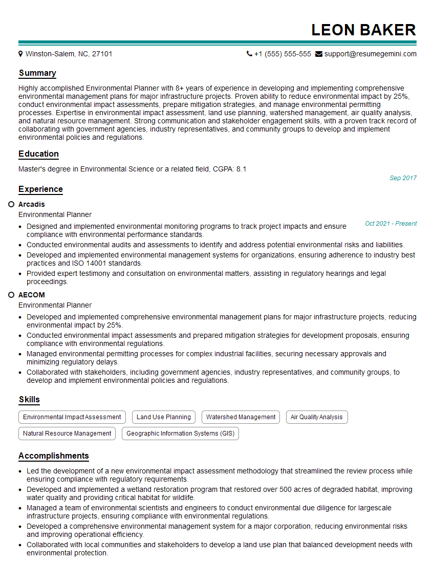
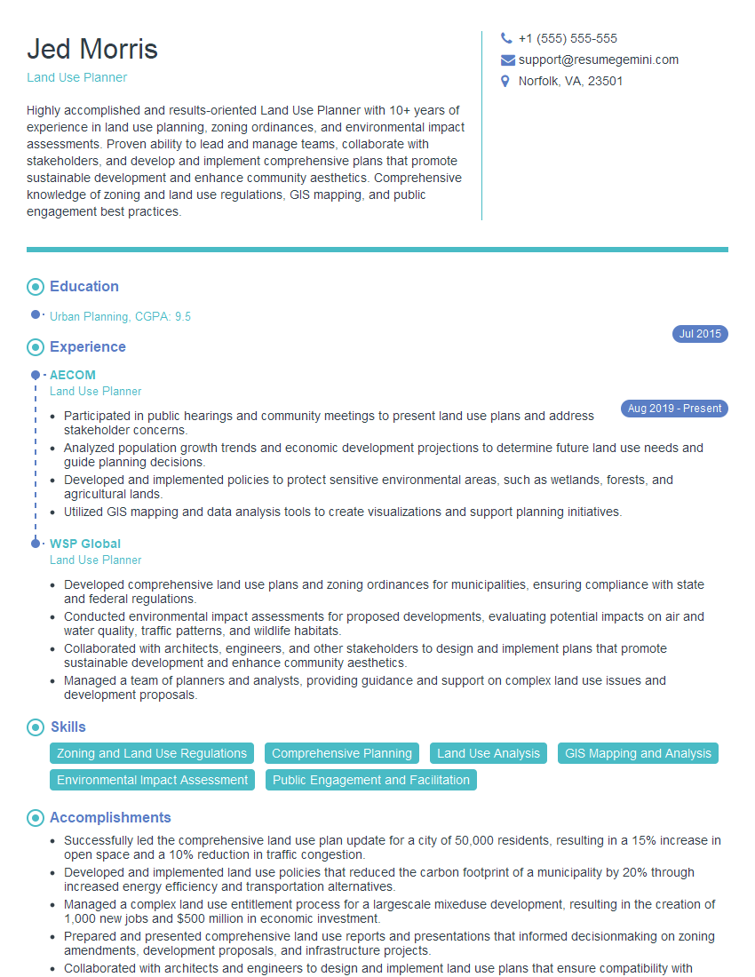
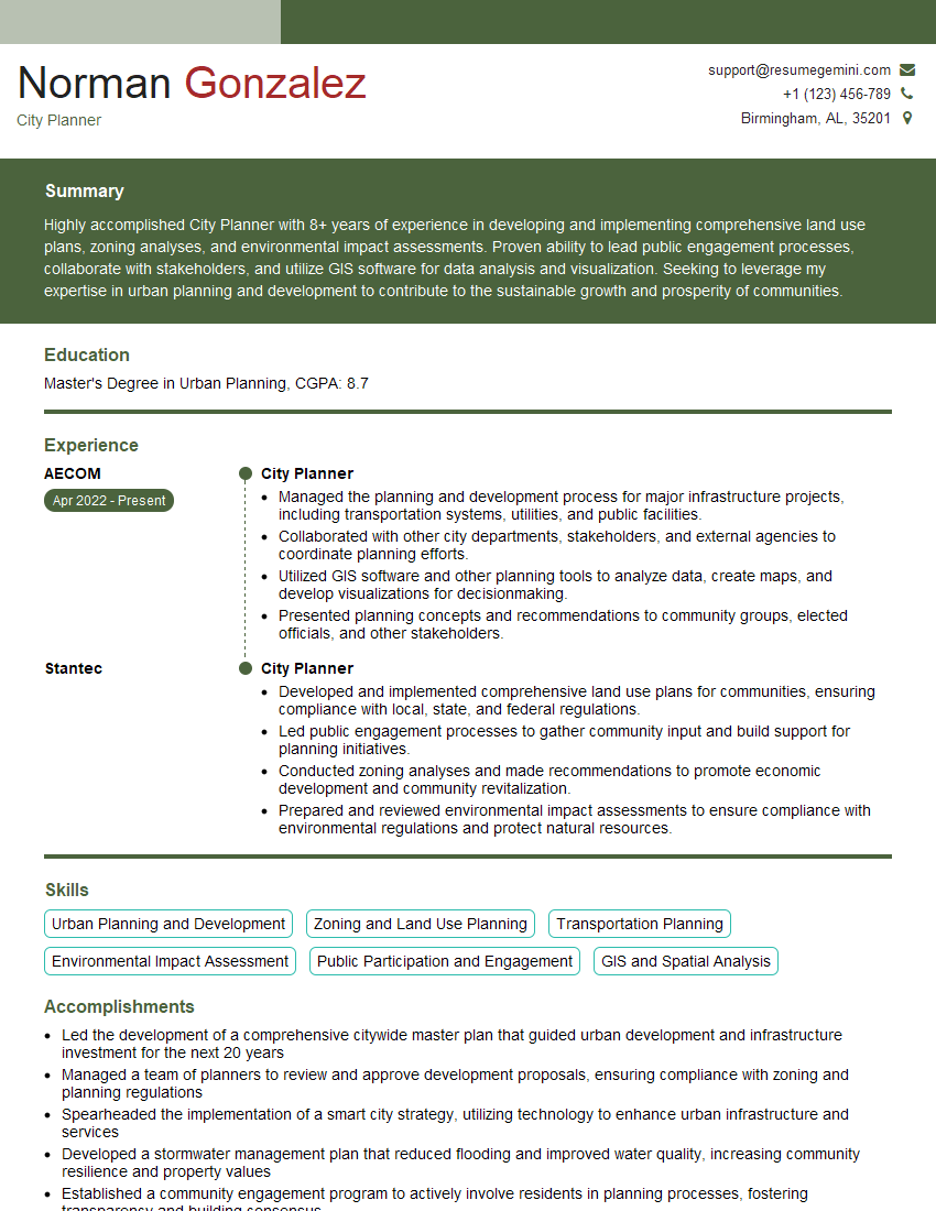
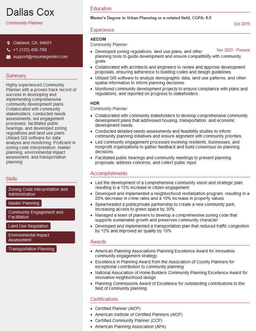
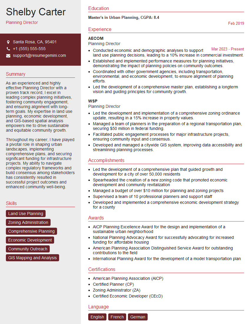
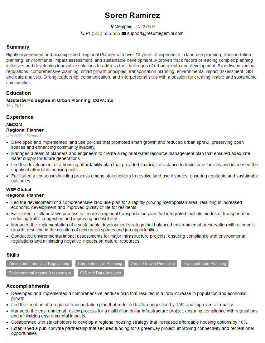
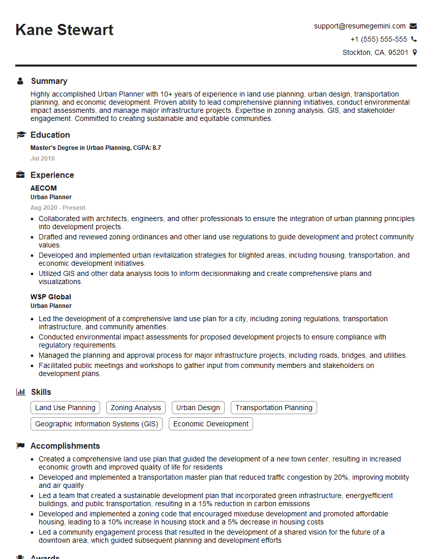
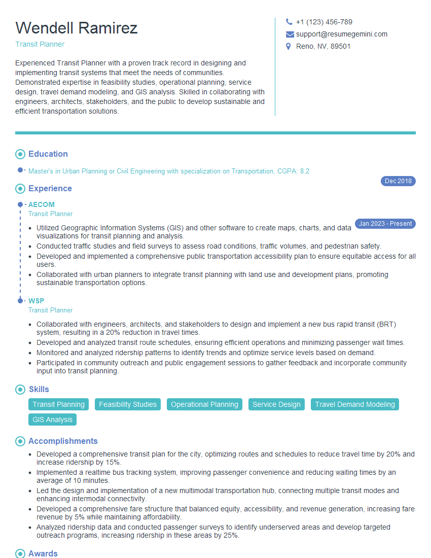
Mastering land-use planning opens doors to a rewarding career with significant impact. To maximize your job prospects, creating a strong, ATS-friendly resume is essential. ResumeGemini is a trusted resource that can help you craft a compelling resume that highlights your skills and experience effectively. We provide examples of resumes tailored specifically to the Land-Use Planning field to help you get started.
Explore more articles
Users Rating of Our Blogs
Share Your Experience
We value your feedback! Please rate our content and share your thoughts (optional).
What Readers Say About Our Blog
This was kind of a unique content I found around the specialized skills. Very helpful questions and good detailed answers.
Very Helpful blog, thank you Interviewgemini team.
