Unlock your full potential by mastering the most common Zoning Ordinance Analysis interview questions. This blog offers a deep dive into the critical topics, ensuring you’re not only prepared to answer but to excel. With these insights, you’ll approach your interview with clarity and confidence.
Questions Asked in Zoning Ordinance Analysis Interview
Q 1. Explain the difference between a zoning ordinance and a building code.
Zoning ordinances and building codes are both crucial for regulating development, but they address different aspects. Think of it like this: zoning ordinances dictate what you can build, while building codes dictate how you build it.
Zoning Ordinances: These regulations govern the permitted uses of land and buildings within a specific area. They define zoning districts (residential, commercial, industrial, etc.), specifying the types of structures allowed, density limitations, setbacks, and other land use restrictions. For example, a zoning ordinance might prohibit a factory from being built in a residential zone.
Building Codes: These are sets of rules and standards that ensure the health, safety, and welfare of building occupants and the public. They outline minimum requirements for structural integrity, fire safety, plumbing, electrical systems, accessibility, and other technical aspects of construction. A building code might specify the minimum size of a window in a bedroom or the type of fire-resistant materials required for walls.
In essence, you need to comply with both. You can’t build a factory in a residential zone (zoning violation), and even if you build something permitted, it must adhere to building codes regarding construction techniques and safety features.
Q 2. Describe the process of obtaining a zoning variance.
Obtaining a zoning variance involves navigating a formal process with your local zoning authority. A variance allows you to deviate from the strict letter of the zoning ordinance, typically due to unique circumstances that make strict adherence impractical or unduly burdensome. Imagine trying to build a house on a uniquely shaped lot that doesn’t quite fit the standard setback requirements.
Application Submission: You begin by submitting a detailed application to the zoning board of appeals or a similar body. This application needs to clearly demonstrate the hardship you face if you have to fully comply with the existing zoning rules. This might include surveying data, architectural plans, and any other evidence relevant to your case.
Public Hearing: The zoning board will typically hold a public hearing where you present your case, and neighbors or other interested parties can express their views. This is a crucial step where you must clearly articulate why your request warrants an exception.
Board Review and Decision: The board reviews all submitted materials and testimony. They will grant a variance only if they are convinced the hardship is real, unique, and not self-imposed, and that granting the variance is in the public interest and does not negatively impact the surrounding community. The decision is usually documented formally.
The process can be complex and time-consuming, often requiring legal representation. Success hinges on demonstrating a compelling case that satisfies all the legal requirements for a variance.
Q 3. What are the common types of zoning districts?
Zoning districts categorize land based on its intended use and development characteristics. Common types include:
Residential: These zones are for housing, ranging from single-family homes to multi-family dwellings like apartments or townhouses. Subcategories exist (e.g., R-1 for single-family, R-3 for high-density apartments).
Commercial: These zones are designed for retail businesses, offices, and other commercial activities. They may have restrictions on building height, parking requirements, and signage.
Industrial: These zones accommodate manufacturing, warehousing, and other industrial uses. They often have stricter environmental regulations and may limit residential development nearby.
Mixed-Use: These zones blend residential and commercial uses within the same area, fostering walkability and a more vibrant community. Often designed to revitalize urban areas.
Agricultural: These zones protect farmland and open space, often restricting development or requiring larger lot sizes to preserve the agricultural character of an area.
Specific designations and regulations vary widely depending on the locality. For instance, one town might have a ‘Planned Unit Development’ (PUD) zone that allows greater flexibility in design, while another might have more specific categories like ‘light industrial’ versus ‘heavy industrial’ zones.
Q 4. How do you interpret zoning maps?
Zoning maps are the visual representation of a community’s zoning ordinances. They’re essential for understanding the permitted uses of any given parcel of land. Think of it as a legend for the area’s permitted development activities.
Interpreting a zoning map usually involves:
Locating the Property: Find the specific property on the map using its address or parcel number.
Identifying the Zoning District: The map will use color-coding, symbols, or numbers to delineate different zoning districts. A key or legend will explain the meaning of these designations (e.g., ‘R-1’ for single-family residential, ‘C-2’ for commercial).
Consulting the Zoning Ordinance: Once you’ve identified the zoning district, refer to the written zoning ordinance to understand the specific rules and regulations for that district. This will detail allowed uses, building height limitations, density restrictions, parking requirements, and other relevant information. The map only shows the zoning classification; the ordinance provides the details.
For example, a property identified as located in a ‘C-3’ district on the map would necessitate consulting the ordinance’s section regarding ‘C-3’ zoning to learn about allowable building heights, parking, and specific permitted uses.
Q 5. Explain the concept of density zoning.
Density zoning regulates the number of dwelling units or people allowed per unit of land area. It’s a tool used to manage growth, protect environmental resources, and shape the character of a neighborhood. Think of it as controlling how much ‘stuff’ can be packed onto a given area.
Density is often expressed in units per acre (e.g., 10 units/acre) or dwelling units per hectare. Higher density zones allow for more buildings or units on a given land area, leading to greater population concentration, which can impact things like traffic congestion, infrastructure needs, and environmental sustainability. Lower density promotes more open space and a less crowded environment.
Different types of density controls exist:
Minimum lot size: Specifies the smallest allowable lot size for a residential structure.
Maximum building height: Limits the vertical dimension of buildings.
Floor area ratio (FAR): The ratio of the total floor area of a building to the size of the lot. A FAR of 2 means you can build twice the area of the lot.
Density zoning often interacts with other zoning regulations, such as setbacks and open space requirements, to shape the overall built environment.
Q 6. What are the legal implications of non-compliance with zoning ordinances?
Non-compliance with zoning ordinances can have significant legal implications, ranging from fines and penalties to the forced demolition of structures. The consequences are not trivial; they can have substantial financial and legal repercussions.
Stop-Work Orders: If a violation is discovered during construction, the local authorities can issue a stop-work order until the violation is remedied. This halts progress and can cause significant delays and costs.
Fines and Penalties: Zoning violations typically incur fines, which can increase over time if the violation remains uncorrected. These can become substantial.
Legal Action: In more serious cases, legal action, such as injunctions to compel compliance or court orders for demolition, can be taken. This involves legal fees and potential court costs.
Property Value Impact: Violations can negatively impact a property’s market value. If a structure isn’t legally compliant, potential buyers might be hesitant, lowering the property’s worth.
It’s crucial to understand and comply with local zoning laws to avoid these costly and time-consuming consequences. Consulting with zoning officials or a land use attorney before undertaking any development project is strongly advised.
Q 7. How do you determine the allowable use of a property based on its zoning classification?
Determining the allowable use of a property starts by identifying its zoning classification. This information is typically found on the local zoning map and confirmed in the written zoning ordinance.
Identify the Zoning District: First, you locate the property on the zoning map and note its assigned zoning district (e.g., R-1, C-2, I-1).
Consult the Zoning Ordinance: The zoning ordinance, a legal document, provides detailed descriptions of each zoning district. Locate the section describing the specific district identified on the map.
Review Permitted Uses: Within the district description, you’ll find a list of permitted uses. These uses may be explicitly listed (e.g., ‘single-family dwelling,’ ‘retail store,’ ‘light manufacturing’), or they might be categorized more broadly (e.g., ‘residential uses,’ ‘commercial uses’).
Check for Conditional Uses: Some uses might require a special permit or variance, even if they seem to fall within the permitted category. The ordinance will indicate if any uses are conditional.
For example, if a property is zoned R-1 (single-family residential), the ordinance will specify that only single-family dwellings are typically permitted. Any other use, such as a multi-family dwelling or commercial business, would likely be a zoning violation unless it is explicitly allowed as a conditional use or a variance has been granted.
Q 8. Describe your experience with zoning appeals processes.
Zoning appeals are a crucial part of the land use process, allowing property owners to challenge zoning decisions they believe are unfair or incorrect. My experience involves representing clients before zoning boards of appeals (ZBAs) and other administrative bodies. This includes meticulously reviewing zoning ordinances, site plans, and supporting documentation to identify grounds for appeal. I’ve handled appeals based on variances, interpretations of ambiguous regulations, and claims of procedural errors. For instance, I successfully argued an appeal where a ZBA incorrectly interpreted a density requirement, leading to the approval of a project that didn’t meet the ordinance’s standards. A key part of the process is presenting clear, concise arguments supported by evidence, including expert testimony when necessary. Successfully navigating appeals requires a deep understanding of administrative law and the specific regulations governing the jurisdiction.
Q 9. How do you handle conflicting zoning regulations?
Conflicting zoning regulations are unfortunately common, often arising from overlapping jurisdictions, amendments, or inconsistencies within a single ordinance. Resolving these conflicts requires a hierarchical approach. First, I meticulously review all applicable regulations to identify the potential conflicts. Then, I apply the rules of legal interpretation, giving precedence to more specific regulations over more general ones (lex specialis derogat legi generali). For example, if a local ordinance conflicts with a state law, the state law generally prevails. If conflicts exist within a single ordinance, I often look for clarifying provisions or interpretative statements. If the conflicts remain unresolved, I will utilize my understanding of the zoning ordinance’s intent, which often requires reviewing the relevant comprehensive plan and related documentation. Finally, if necessary, I may recommend seeking clarification from the local zoning authority or pursuing legal action to have the conflict resolved.
Q 10. Explain the role of conditional use permits.
Conditional use permits (CUPs) allow for uses that are not explicitly permitted in a specific zoning district but are deemed compatible if certain conditions are met. Think of it like a compromise. A use might be generally acceptable but requires specific controls to ensure it doesn’t negatively impact surrounding areas. For example, a daycare center might be allowed in a residential zone if it adheres to specific conditions regarding parking, noise levels, and operating hours. The conditions are carefully crafted to address potential concerns and are included as part of the permit. The application process typically involves a public hearing where neighbors can voice their concerns, and the applicant must demonstrate how the proposed use will meet the imposed conditions. Failure to comply with the conditions can result in revocation of the permit.
Q 11. What are the key components of a comprehensive plan and how do they relate to zoning?
A comprehensive plan is a long-term policy document guiding a community’s growth and development. It’s the blueprint, whereas zoning is the implementation tool. Key components include:
- Land Use Element: Identifies areas designated for residential, commercial, industrial, and other uses.
- Transportation Element: Outlines plans for roads, public transit, and other transportation infrastructure.
- Housing Element: Addresses the community’s housing needs, including affordability and types of housing.
- Economic Development Element: Strategies for job creation and economic growth.
- Environmental Element: Considers environmental protection and resource management.
Zoning ordinances directly translate the comprehensive plan’s land use element into regulatory controls. For example, if the comprehensive plan designates an area for residential use, the zoning ordinance would specify allowable densities, building heights, and other restrictions for that area. The other elements of the comprehensive plan inform zoning decisions, influencing factors like parking requirements, infrastructure capacity, and environmental impact assessments.
Q 12. Explain the concept of Planned Unit Developments (PUDs).
Planned Unit Developments (PUDs) offer a flexible approach to zoning, allowing developers to deviate from standard zoning regulations in exchange for providing amenities or features that benefit the community. Instead of rigid lot sizes and building setbacks, PUDs allow for a more holistic approach to development. Imagine a traditional subdivision versus a PUD. A traditional subdivision might have uniform lots, leading to a monotonous streetscape. A PUD, however, might feature a mix of housing types, open spaces, shared amenities (like a pool or park), and potentially higher densities in some areas to balance lower densities in others. PUDs often involve negotiations with local governments and require detailed site plans showcasing the overall design and how it meets community goals. The flexibility of PUDs makes them a valuable tool for creating unique and vibrant neighborhoods.
Q 13. Describe your experience with zoning amendments and rezoning applications.
My experience with zoning amendments and rezoning applications is extensive. I’ve assisted clients in preparing and submitting applications, navigating the review process, and addressing concerns from the local planning commission and community members. This includes researching comparable properties, analyzing market data, and drafting comprehensive justifications for the proposed changes. For example, I helped secure a rezoning from residential to mixed-use for a property in an underserved area, arguing that the change would stimulate economic activity and provide much-needed services to the community. Successful applications require a thorough understanding of the zoning ordinance, clear communication of the proposed project’s benefits, and anticipation of potential objections. I often emphasize collaboration with local officials and community stakeholders to reach a mutually agreeable outcome.
Q 14. How do you research and analyze zoning regulations for a specific property?
Researching zoning regulations for a specific property is a systematic process that starts with identifying the property’s location and the governing jurisdiction. Then, I use official resources like the municipality’s website, GIS mapping systems, and zoning ordinance books to ascertain the applicable regulations. This involves identifying the property’s zoning district and reviewing all relevant sections of the zoning ordinance concerning that district, including permitted uses, setbacks, height restrictions, parking requirements, and any special regulations. I also examine any overlay districts that might affect the property, such as historic districts or floodplains. Additionally, I check for any existing permits, variances, or conditional use permits associated with the property. Finally, I carefully cross-reference all identified regulations to avoid inconsistencies or conflicts. The process requires meticulous attention to detail to ensure accurate interpretation and to avoid costly mistakes.
Q 15. What are the common challenges encountered in zoning ordinance analysis?
Analyzing zoning ordinances can be surprisingly complex. Common challenges include:
- Ambiguity and outdated language: Older ordinances often use vague terminology or lack clear definitions, leading to interpretation difficulties. For example, the term ‘residential’ might not explicitly exclude home-based businesses.
- Inconsistent formatting and organization: Many ordinances are lengthy and poorly structured, making it hard to locate specific regulations. Imagine searching a massive document with no index!
- Conflicting regulations: Overlapping or contradictory regulations can arise from amendments over time. This requires careful cross-referencing to determine which regulation takes precedence.
- Interpreting maps and diagrams: Zoning maps can be difficult to interpret, particularly when dealing with boundary lines, overlays, or complex parcels. Accurate interpretation requires careful analysis and sometimes site visits.
- Keeping up with amendments: Zoning ordinances are frequently updated, meaning any analysis needs to be current to avoid outdated information. A successful analysis requires a rigorous tracking process.
Successfully navigating these challenges requires meticulous attention to detail, a systematic approach, and familiarity with legal interpretation techniques.
Career Expert Tips:
- Ace those interviews! Prepare effectively by reviewing the Top 50 Most Common Interview Questions on ResumeGemini.
- Navigate your job search with confidence! Explore a wide range of Career Tips on ResumeGemini. Learn about common challenges and recommendations to overcome them.
- Craft the perfect resume! Master the Art of Resume Writing with ResumeGemini’s guide. Showcase your unique qualifications and achievements effectively.
- Don’t miss out on holiday savings! Build your dream resume with ResumeGemini’s ATS optimized templates.
Q 16. How do you stay current with changes in zoning regulations?
Staying current with zoning changes involves a multi-pronged approach:
- Regularly checking the relevant municipality’s website: Most jurisdictions post ordinance updates and amendments online. Setting up alerts for these websites is a useful strategy.
- Subscribing to relevant newsletters and publications: Many professional organizations and legal publishers offer updates on zoning law changes.
- Attending public hearings and meetings: This provides a direct source of information and allows for direct interaction with decision-makers.
- Networking with colleagues and professionals in the field: Discussions and shared information can be invaluable for staying informed about local trends and changes.
- Using specialized legal research databases: Online platforms often offer comprehensive updates on local ordinances and court cases that affect interpretation.
Staying informed is an ongoing process; it’s not a one-time activity. It requires a dedicated approach to ensure analysis remains accurate and up-to-date.
Q 17. Explain your understanding of zoning setbacks and easements.
Zoning setbacks and easements are crucial elements that govern how close a structure can be built to property lines or other features:
- Setbacks: These are the minimum distances required between a building and property lines. They’re typically defined in feet and vary depending on the zoning district (e.g., residential, commercial). Setbacks ensure adequate space for things like landscaping, fire safety access, and light and air. For instance, a residential zone might require a 20-foot front setback and a 10-foot side setback.
- Easements: These are legal rights granted to a person or entity to use a portion of another’s property for a specific purpose (e.g., utility access, drainage). Easements are typically recorded in the land records and can be either affirmative (granting a right to use) or negative (restricting use). A common example is a utility easement allowing a power company access to lines running across private property.
Both setbacks and easements restrict the use of land and impact potential building locations and designs. Analyzing them is critical for accurate site development plans.
Q 18. Describe your experience with using GIS software for zoning analysis.
GIS (Geographic Information Systems) software is indispensable for zoning analysis. My experience includes using ArcGIS and QGIS to:
- Visualize zoning maps and overlays: GIS allows for clear visualization of zoning districts, setbacks, easements, and other restrictions. This is far superior to simply looking at paper maps.
- Analyze spatial relationships: GIS helps identify potential conflicts between proposed developments and existing regulations. For example, we can easily identify whether a proposed building meets setback requirements.
- Perform buffer analyses: We can generate buffer zones around sensitive areas (e.g., wetlands) to ensure compliance with environmental regulations.
- Create interactive maps and reports: GIS helps create clear and concise reports that communicate findings to stakeholders, making complex information easier to understand.
- Integrate data from various sources: We can easily combine zoning data with other datasets, such as topography, parcel boundaries, and infrastructure networks.
GIS dramatically enhances the accuracy, efficiency, and clarity of zoning analyses. It moves beyond interpretation of static data to perform spatial modeling and analysis.
Q 19. How do environmental regulations impact zoning decisions?
Environmental regulations significantly influence zoning decisions. They often dictate:
- Development restrictions in environmentally sensitive areas: Regulations like the Clean Water Act or Endangered Species Act limit development near wetlands, rivers, or habitats of protected species. Zoning ordinances must reflect these limitations.
- Stormwater management requirements: Zoning may require developers to incorporate measures to manage stormwater runoff, impacting site design and infrastructure. This might include specifications for retention ponds or permeable pavements.
- Air and noise pollution controls: Zoning can be used to mitigate air and noise pollution by restricting certain industries or activities in specific areas. For instance, industrial zones might be located away from residential areas.
- Energy efficiency standards: Regulations promoting energy-efficient buildings might be incorporated into zoning codes, influencing building materials and design features.
- Waste disposal requirements: Zoning may address issues related to waste management and disposal, particularly for industrial or commercial projects. This includes adequate provision for storage, handling, and recycling.
Environmental regulations are often interwoven with zoning codes, necessitating a holistic approach that balances development with environmental protection.
Q 20. What are the key differences between zoning by districts and performance zoning?
Zoning by districts and performance zoning are two fundamental approaches to regulating land use:
- Zoning by districts (Euclidean zoning): This traditional method divides land into distinct zones (e.g., residential, commercial, industrial) with prescribed regulations for each. Each zone has specific use allowances, building heights, density limits, and setbacks. It’s relatively straightforward but can be inflexible and lead to inefficient land use.
- Performance zoning: This approach focuses on the impacts of development, rather than prescribed uses. Instead of designating specific uses for zones, it sets performance standards that developers must meet (e.g., noise levels, traffic impacts, stormwater runoff). It is more flexible and adaptable but requires more complex analysis and potentially more sophisticated monitoring.
The key difference lies in the focus: prescriptive use restrictions versus performance-based standards. Performance zoning is often seen as a more modern, flexible approach that can lead to more innovative and context-sensitive developments.
Q 21. Explain your experience working with stakeholders involved in zoning projects.
Working with stakeholders in zoning projects is crucial for success. My experience includes collaborating with:
- Property owners and developers: Understanding their objectives, constraints, and concerns is vital to finding solutions that meet both their needs and zoning regulations.
- Community residents and neighborhood associations: Engaging with residents helps incorporate their perspectives, ensuring the project aligns with community values and minimizes potential conflicts.
- Government officials and planning staff: Effective communication with planning departments and elected officials is key for navigating the approval process.
- Environmental organizations and consultants: Collaborating with environmental groups ensures that environmental considerations are addressed adequately and potential impacts are minimized.
- Engineers, architects, and other professionals: Working with the design team ensures that plans meet both zoning regulations and design goals.
Successful stakeholder engagement requires active listening, clear communication, conflict resolution skills, and a collaborative approach to find solutions that benefit all parties involved. This fosters mutual respect and a productive working relationship.
Q 22. How do you communicate complex zoning information to non-technical audiences?
Communicating complex zoning information to non-technical audiences requires a shift from technical jargon to plain language and visual aids. I begin by understanding their specific needs and knowledge level. For instance, a homeowner inquiring about a potential addition needs a different explanation than a developer planning a large-scale project.
- Plain Language: Instead of saying “non-conforming use,” I’d explain it as: “Your existing building might not completely meet current zoning rules, but it’s allowed to stay as it is because it existed before the rules changed.”
- Visual Aids: Maps, diagrams, and even simple charts help immensely. A map highlighting allowed uses in a specific zone is far more effective than a lengthy paragraph describing the zoning regulations. For example, I might use a color-coded map to show residential zones in blue, commercial in red, and industrial in grey.
- Analogies and Examples: Relating zoning regulations to everyday concepts helps. For example, “Imagine zoning rules as a set of community guidelines ensuring we have the right mix of homes, shops, and businesses in the neighborhood.”
- Interactive Sessions: When possible, interactive sessions where I can answer questions and address specific concerns in real-time are incredibly effective.
By focusing on clarity, visuals, and relatable examples, I ensure the information is not only understood but also remembered and applied correctly.
Q 23. Describe a situation where you had to resolve a zoning conflict. What was your approach?
I once encountered a zoning conflict involving a proposed daycare center in a residential zone. The residents opposed the center due to anticipated increased traffic and noise. My approach involved a multi-step process:
- Thorough Review of the Zoning Ordinance: I carefully examined the specific zoning regulations for the area, looking for any exceptions or variances that could allow the daycare.
- Factual Data Gathering: I gathered data on similar daycare centers, analyzing their impact on neighboring properties. This involved site visits and reviews of traffic studies and noise level assessments.
- Mediation and Negotiation: I facilitated meetings between the daycare applicant, residents, and the zoning board. This involved actively listening to concerns, identifying common ground, and proposing compromises. For example, we explored options like limiting operating hours or implementing traffic calming measures.
- Variance or Amendment Application: Based on the negotiation outcome, we explored the possibility of applying for a variance or zoning code amendment. This required a formal application to the zoning board and a presentation outlining the justification for the proposed changes.
- Documentation and Reporting: I meticulously documented all meetings, discussions, and decisions, providing a clear record of the resolution process.
The conflict was resolved through a compromise where the daycare center agreed to specific operating restrictions, ultimately satisfying both the applicant and the residents.
Q 24. What are some common mistakes made in zoning ordinance interpretation?
Common mistakes in zoning ordinance interpretation often stem from:
- Overlooking Amendments: Zoning codes are dynamic and frequently amended. Failing to check for recent updates can lead to inaccurate interpretations.
- Misunderstanding Definitions: Key terms like “density,” “lot coverage,” and “setbacks” can have precise legal definitions that differ from everyday usage. A thorough understanding of these definitions is crucial.
- Ignoring Contextual Factors: Zoning regulations are applied within a specific geographic context. Failing to consider adjacent land uses, topography, and other site-specific factors can lead to errors.
- Ignoring Precedents: Past zoning board decisions can provide valuable guidance in interpreting ambiguous clauses. Failing to consider precedents can lead to inconsistent application of the code.
- Relying solely on one source of information: Multiple sources should be reviewed and cross-referenced to confirm understanding of specific regulations.
These errors can have significant consequences, ranging from delays in project approvals to costly legal battles.
Q 25. How do you ensure accuracy and completeness in your zoning analysis?
Accuracy and completeness in zoning analysis are paramount. My approach involves a systematic process:
- Multiple Source Verification: I never rely on a single source. I cross-reference information from official zoning ordinances, maps, legal interpretations, and case law.
- Detailed Note-Taking and Documentation: I maintain meticulous records of my research, including the sources consulted and my interpretation of relevant clauses. This allows for transparency and traceability.
- Regular Updates: Zoning codes frequently change, so regular updates are crucial. I use subscription services to monitor relevant amendments and court decisions.
- Expert Consultation: When dealing with complex or ambiguous situations, I consult with other experts in zoning law or related fields to ensure accuracy.
- Peer Review: When possible, I have my analysis reviewed by a colleague to identify potential errors or omissions.
This multi-faceted approach ensures that my analysis is not only accurate but also defensible and reliable.
Q 26. Describe your experience with zoning code enforcement.
My experience with zoning code enforcement involves working alongside code enforcement officers to ensure compliance with zoning regulations. This includes:
- Reviewing building permits and site plans: I’ve ensured that proposed projects comply with all applicable zoning regulations before permits are issued.
- Investigating alleged zoning violations: I’ve conducted site visits to assess reported violations and document findings.
- Preparing reports and recommendations: Based on investigations, I’ve prepared reports recommending appropriate enforcement actions, such as issuing notices of violation or initiating legal proceedings.
- Providing technical assistance: I’ve advised property owners on how to bring their properties into compliance with zoning regulations.
- Testifying in court: I’ve provided expert testimony on zoning matters during legal proceedings related to code enforcement.
My role emphasizes collaboration and education alongside enforcement, aiming to achieve compliance while fairly and transparently applying zoning rules.
Q 27. What software or tools do you use for zoning analysis?
I utilize a variety of software and tools for zoning analysis, depending on the project’s scope and complexity. These include:
- Geographic Information Systems (GIS) Software: ArcGIS and QGIS are invaluable for visualizing zoning maps, analyzing site characteristics, and overlaying data layers.
- Legal Research Databases: Westlaw and LexisNexis provide access to case law, statutes, and other legal resources relevant to zoning interpretations.
- Document Management Systems: I utilize software to organize and manage large volumes of zoning documents, plans, and correspondence.
- Spreadsheet Software: Excel or Google Sheets are used for data analysis and organization, allowing for efficient summarization and comparison of data related to land use and regulations.
The specific tools utilized adapt to the unique requirements of each project, always prioritizing efficiency and accuracy.
Q 28. How would you explain the concept of zoning to a property owner unfamiliar with it?
I explain zoning to a property owner as a set of community rules designed to maintain the character and function of different areas. Think of it as a city-wide blueprint guiding how land is used. It dictates what you can build, where you can build it, and what types of activities are permitted on a property.
For example, zoning might designate certain areas as residential, allowing only houses and limiting commercial activity. Other areas might be zoned for commercial use, allowing for shops and businesses. Zoning aims to balance various needs—from ensuring safe neighborhoods to promoting economic development—by setting guidelines for the appropriate use of land within a community.
Understanding zoning is vital because it directly impacts what you can do with your property. Before making any changes, it’s important to review the local zoning regulations to ensure compliance and avoid potential problems.
Key Topics to Learn for Zoning Ordinance Analysis Interview
- Understanding Zoning Districts: Learn to identify and interpret different zoning classifications (residential, commercial, industrial, etc.) and their associated regulations.
- Use Case: Analyzing Site Suitability: Apply your knowledge to determine if a proposed project complies with existing zoning regulations based on factors like land use, building height, setbacks, and density.
- Variances and Special Exceptions: Understand the processes and criteria for obtaining variances and special exceptions when a project doesn’t fully comply with existing zoning.
- Legal Interpretation of Ordinances: Develop your skills in interpreting complex legal language and identifying ambiguities or contradictions within zoning documents.
- Practical Application: Analyzing Zoning Maps and Documents: Practice navigating zoning maps, interpreting regulations, and extracting relevant information efficiently.
- Environmental Considerations: Explore how environmental regulations interact with zoning ordinances and influence project feasibility.
- Case Studies: Analyze successful and unsuccessful cases involving zoning challenges to enhance problem-solving capabilities.
Next Steps
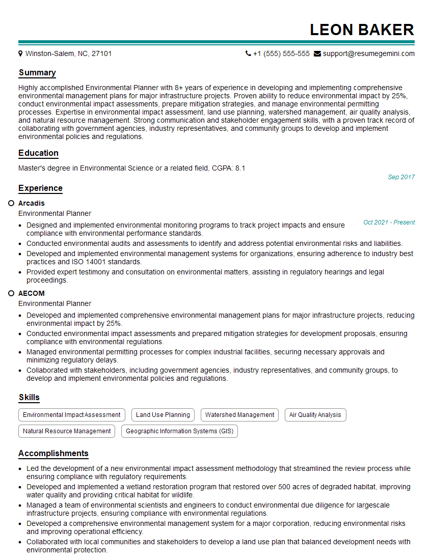
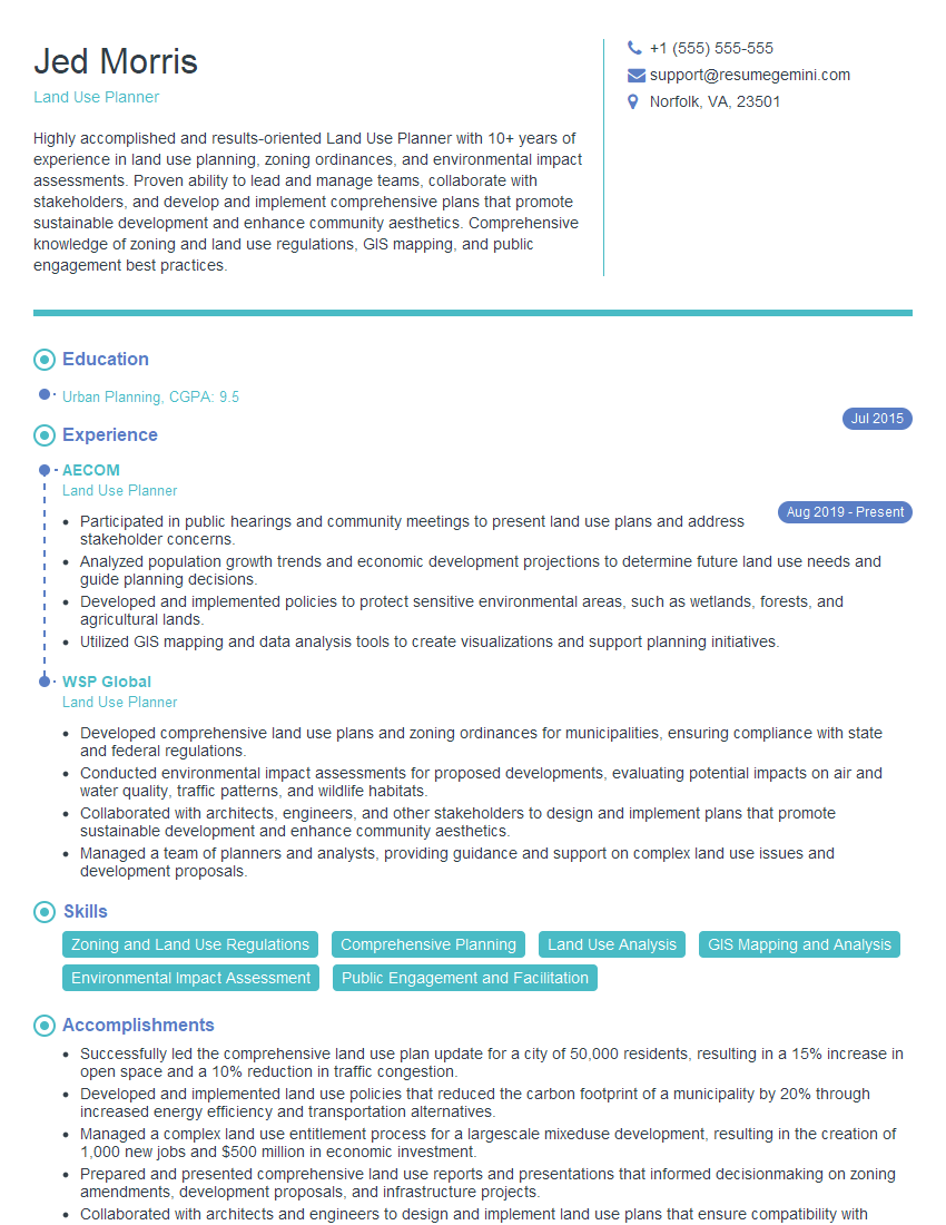
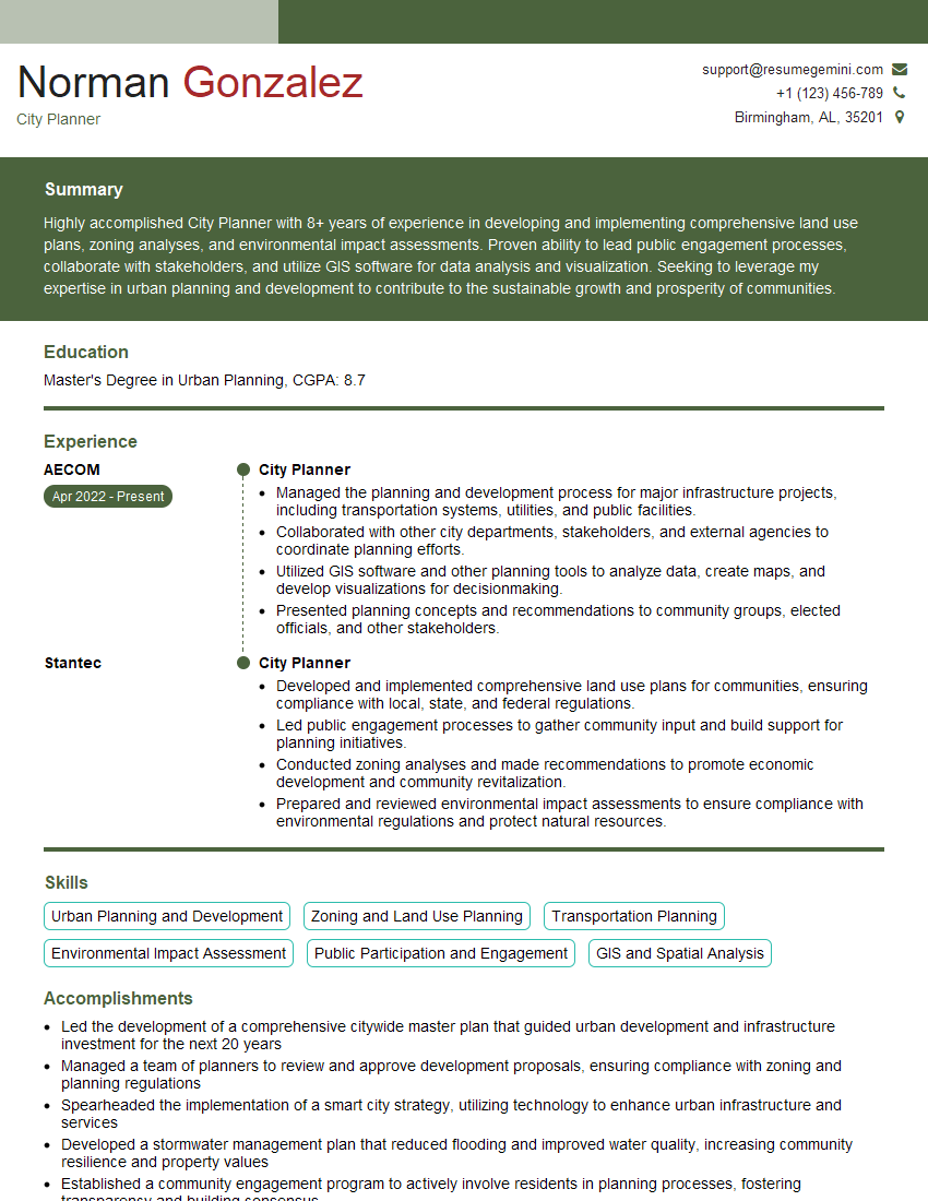
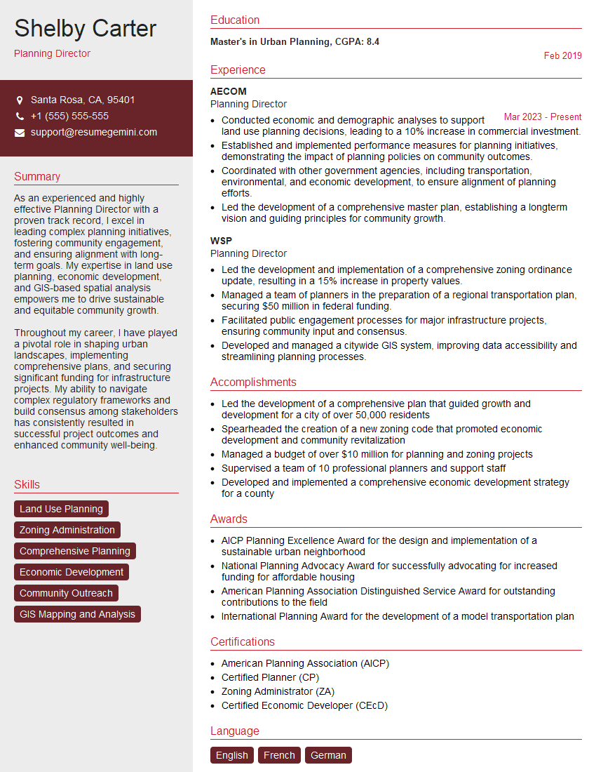
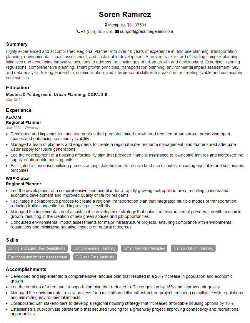
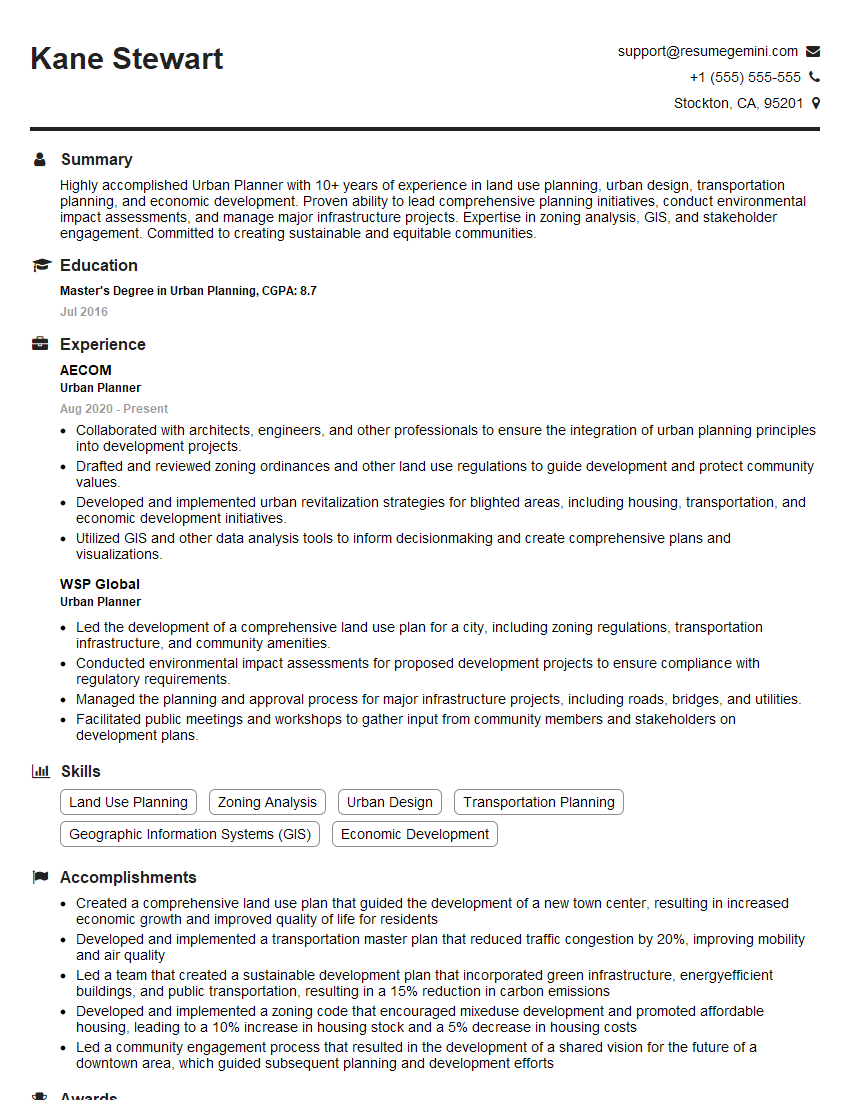
Mastering Zoning Ordinance Analysis is crucial for career advancement in urban planning, land development, and related fields. A strong understanding of zoning regulations demonstrates valuable problem-solving skills and a commitment to legal compliance, making you a highly sought-after candidate. To maximize your job prospects, create an ATS-friendly resume that effectively highlights your expertise. ResumeGemini is a trusted resource that can help you build a professional and impactful resume tailored to the specific requirements of Zoning Ordinance Analysis roles. Examples of resumes tailored to this field are available to guide you.
Explore more articles
Users Rating of Our Blogs
Share Your Experience
We value your feedback! Please rate our content and share your thoughts (optional).
What Readers Say About Our Blog
Hi, I have something for you and recorded a quick Loom video to show the kind of value I can bring to you.
Even if we don’t work together, I’m confident you’ll take away something valuable and learn a few new ideas.
Here’s the link: https://bit.ly/loom-video-daniel
Would love your thoughts after watching!
– Daniel
This was kind of a unique content I found around the specialized skills. Very helpful questions and good detailed answers.
Very Helpful blog, thank you Interviewgemini team.
