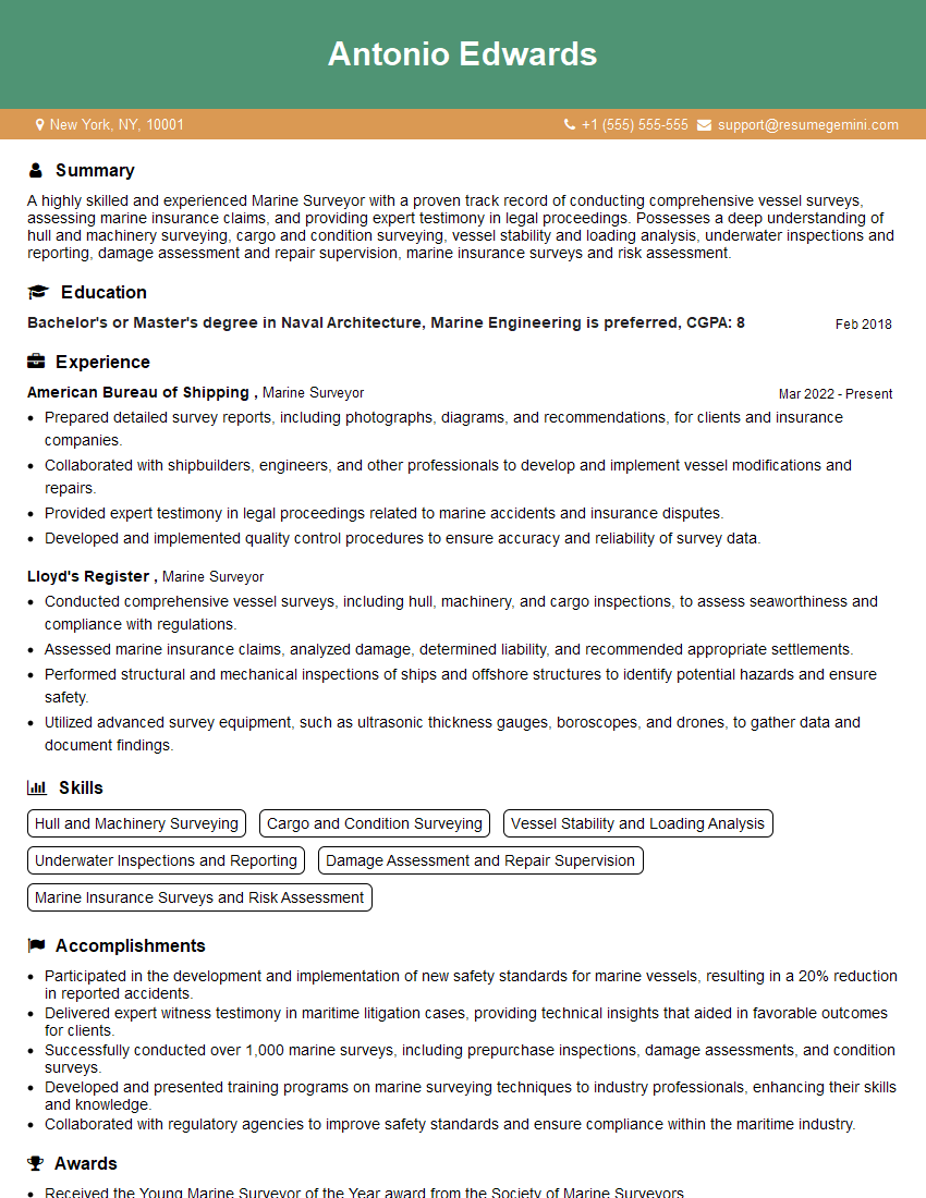
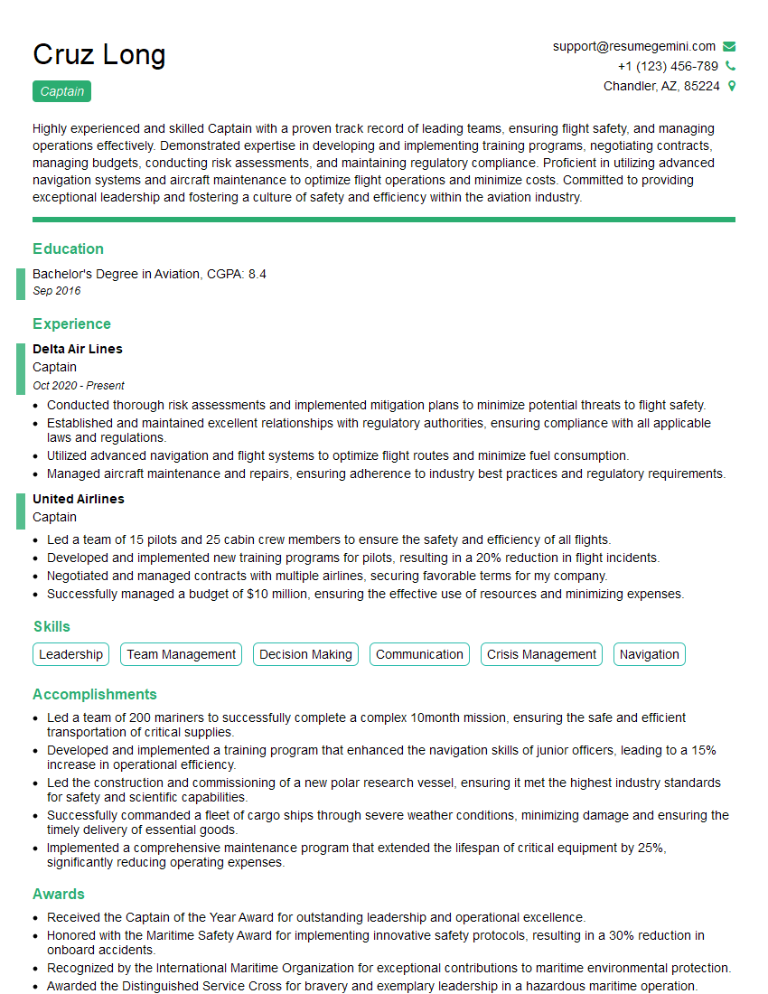
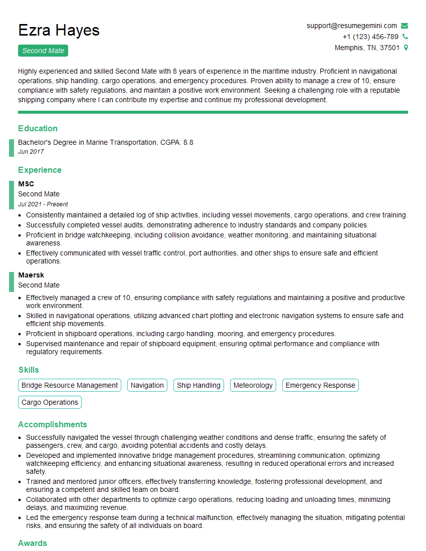
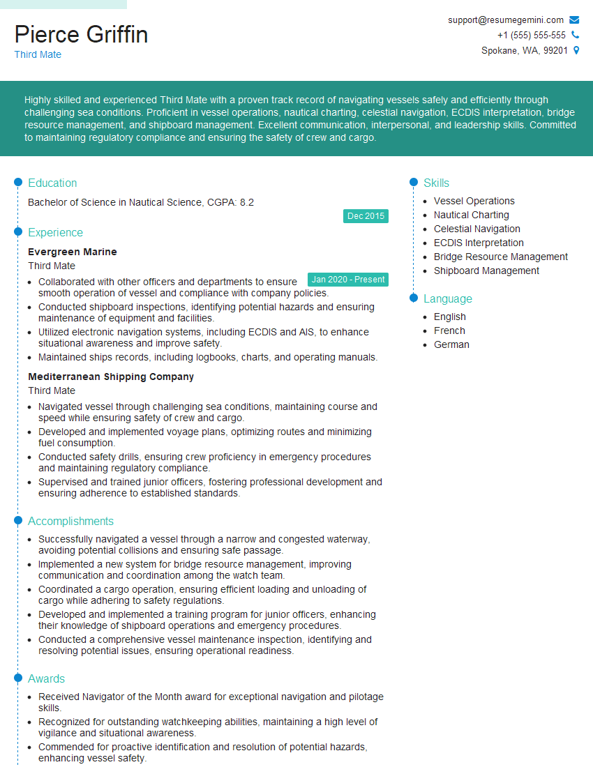
Cracking a skill-specific interview, like one for GPS and ECDIS, requires understanding the nuances of the role. In this blog, we present the questions you’re most likely to encounter, along with insights into how to answer them effectively. Let’s ensure you’re ready to make a strong impression.
Questions Asked in GPS and ECDIS Interview
Q 1. Explain the difference between GPS and GLONASS.
Both GPS (Global Positioning System) and GLONASS (Global Navigation Satellite System) are global navigation satellite systems that provide location and time information to a GPS receiver. However, they are developed and operated by different countries. GPS is a United States system, while GLONASS is a Russian system.
The key difference lies in their satellite constellations. GPS utilizes 24 satellites in medium Earth orbit (MEO), while GLONASS typically employs 24 satellites, also in MEO. This difference in infrastructure leads to variations in signal availability and coverage, especially in certain geographical regions. For instance, GLONASS might offer better coverage in higher latitudes compared to GPS. Both systems use similar radio frequencies, but have different signal structures and coding schemes.
In practice, many modern GPS receivers are capable of receiving signals from both GPS and GLONASS, increasing the accuracy and reliability of positioning. This is often referred to as GNSS (Global Navigation Satellite System), representing a general term encompassing multiple satellite navigation systems.
Q 2. Describe the various types of GPS errors and how they are mitigated.
GPS errors can significantly affect the accuracy of position data. Several types exist:
- Atmospheric Errors: The ionosphere and troposphere delay GPS signals, causing inaccuracies. These are mitigated using sophisticated models and dual-frequency receivers that can measure and correct for the delays.
- Multipath Errors: Signals reflecting off surfaces like buildings or water can reach the receiver later than the direct signal, causing position errors. This is mitigated using advanced signal processing techniques and antenna design.
- Satellite Clock Errors: Slight inaccuracies in the atomic clocks onboard satellites can introduce errors. These are mitigated through precise clock synchronization and corrections broadcast by the satellites themselves.
- Ephemeris Errors: Errors in the predicted position of the satellites can also affect accuracy. These are mitigated using precise ephemeris data regularly updated by the controlling agencies.
- Receiver Noise: Internal noise within the GPS receiver can lead to measurement errors. This is often minimized through improved receiver design and signal averaging.
Mitigation techniques often involve combining multiple sources of information. Differential GPS (DGPS), Wide Area Augmentation System (WAAS), and other augmentation systems provide corrections to improve accuracy.
Q 3. What are the key features and functionalities of an ECDIS system?
An Electronic Chart Display and Information System (ECDIS) is a sophisticated navigational tool that replaces paper charts. Its key features include:
- Electronic Charts (ENCs): ECDIS uses ENCs which are official, digitally encoded charts compliant with international standards.
- Chart Display: It displays ENCs on a screen, offering various viewing options and scale adjustments.
- Route Planning: ECDIS allows for easy route planning, considering various parameters such as depth, watercourse width, and other navigational hazards.
- Navigation Data Integration: It integrates GPS data, AIS (Automatic Identification System) data, and other navigational sensors to provide a comprehensive view of the vessel’s surroundings.
- Alarm and Warning Systems: ECDIS provides alarms for various navigational hazards, such as shallow water, restricted areas, and proximity to other vessels.
- Information Overlay: It allows overlaying additional information on the charts, such as weather information or tidal predictions.
- Data Management: ECDIS allows for efficient management and updating of electronic charts and other navigational data.
In essence, ECDIS acts as a central hub for all navigational information, enhancing safety and efficiency at sea.
Q 4. Explain the process of chart updating in ECDIS.
Chart updating in ECDIS is crucial for maintaining accuracy and safety. The process involves:
- Downloading Updates: New chart updates (corrections and new editions) are downloaded from official sources, often through a service provider.
- Verification: Downloaded updates are verified against the existing chart data to ensure integrity.
- Installation: Once verified, the updates are installed into the ECDIS system, updating relevant chart data.
- Verification of Installation: After installation, the system is checked to ensure all updates have been correctly applied.
- System Check: The ECDIS system undergoes a comprehensive system check to ensure it’s functioning correctly with the updated charts.
ECDIS systems often include automatic update notification features, alerting users to available updates. Regular and timely chart updates are crucial for compliant and safe navigation.
Q 5. How does ECDIS ensure safe navigation?
ECDIS enhances safe navigation through various functionalities:
- Integration of multiple data sources: Combines data from GPS, AIS, radar, etc., providing a complete situational awareness.
- Automated warnings: Alerts the navigator to potential hazards like shallow water or restricted areas, preventing collisions and groundings.
- Route planning and monitoring: Aids in creating safe and efficient routes, and automatically alerts the captain of deviations from the planned route.
- ENC compliance: Utilizes official charts, ensuring up-to-date and accurate navigational information.
- Improved situational awareness: The integrated information display gives the navigator a superior understanding of the vessel’s surroundings.
By providing a comprehensive and accurate navigational picture, ECDIS significantly reduces the risk of accidents and improves the overall safety of navigation.
Q 6. What are the limitations of GPS?
While GPS is incredibly useful, it has limitations:
- Signal blockage: Buildings, trees, and even heavy weather can obstruct GPS signals, leading to loss of position.
- Atmospheric interference: Ionospheric and tropospheric delays can affect signal accuracy, especially in certain atmospheric conditions.
- Multipath errors: Reflected signals can cause inaccurate position calculations.
- Limited accuracy: Standard GPS accuracy is typically around 4.9 meters (16 feet), which can be insufficient for precise navigation.
- Vulnerability to jamming and spoofing: Malicious actors can intentionally interfere with GPS signals to disrupt service or provide false location data.
Understanding these limitations is crucial for effective and safe use of GPS, particularly in critical applications like maritime navigation, where redundancy and backup systems are essential.
Q 7. What is Differential GPS (DGPS) and how does it improve accuracy?
Differential GPS (DGPS) improves GPS accuracy by using a network of reference stations with precisely known positions. These stations receive GPS signals and compare them to their known location, calculating the difference (correction) between the received signal and the actual location.
These corrections are then broadcast to GPS receivers within range. The receivers use this correction data to adjust their own position calculations. This significantly reduces the errors inherent in standard GPS, increasing accuracy to within a few meters or even centimeters depending on the DGPS system used. DGPS is particularly useful in applications requiring high accuracy, such as surveying, construction, and precision farming.
For example, imagine a surveyor needing highly accurate measurements. Standard GPS might have an error of several meters, impacting the project. By using DGPS, the surveyor can achieve centimeter-level accuracy, significantly improving the quality and precision of their work.
Q 8. Explain the concept of Selective Availability (SA) and its impact on GPS accuracy.
Selective Availability (SA) was a deliberate degradation of the accuracy of the GPS signal implemented by the U.S. Department of Defense. Think of it like intentionally blurring a photo – you still get a picture, but the details are less precise. SA introduced errors into the GPS signal, limiting the accuracy to around 100 meters. This was primarily a security measure, preventing adversaries from using highly accurate GPS data for precision-guided weapons or other sensitive operations.
SA was officially turned off in May 2000. Before its deactivation, it significantly impacted civilian users, especially those relying on GPS for navigation. For instance, a ship relying on GPS for positioning during harbor approaches would experience larger position uncertainties, increasing the risk of grounding or collision. The removal of SA significantly improved the accuracy of GPS globally, allowing for more precise applications across various sectors, including maritime navigation.
Q 9. Describe the different types of electronic charts used in ECDIS.
Electronic charts used in ECDIS are primarily categorized as SENC (System Electronic Navigational Chart) and ENC (Electronic Navigational Chart). The ENC is the raw data, a standardized digital representation of nautical charts compliant with IHO standards. It’s like the blueprint. Think of it as a high-resolution image of the nautical chart, encompassing various layers of information such as bathymetry (water depth), land features, aids to navigation, and other navigational hazards.
The SENC, on the other hand, is the ENC processed and tailored for display on the ECDIS system. It’s the ‘working copy’ that’s customized according to the vessel’s needs. This may include adding user-defined data like planned routes or safety contours. The SENC is managed by the ECDIS system and is what you actually see on the screen. Additionally, there are also Raster Charts which are scanned images of paper charts, offered as a backup option but generally not encouraged for primary navigation due to the limited ability to perform automated calculations on them.
Q 10. How does ECDIS handle safety contours and alarms?
ECDIS handles safety contours and alarms by utilizing the navigational data within the SENC. Safety contours, such as a predefined depth contour or distance from a hazard, are set by the user or are predefined within the system’s settings. The ECDIS system constantly compares the vessel’s position to these safety contours. If the vessel’s projected path or present position violates a set safety contour, the ECDIS will generate an alarm. For example, if a vessel is programmed with a safety contour of 10 meters from the shore and is approaching too close, an audible and visual alarm will sound, alerting the crew of potential danger.
The type and urgency of the alarm vary depending on the severity of the violation. The system may provide a visual alert on the chart display, highlight the area of concern, sound an audible alarm, and display textual warnings. The alarm system is customizable, allowing the user to adjust sensitivity and types of alerts depending on the operational conditions.
Q 11. Explain the role of SENC in ECDIS.
The SENC (System Electronic Navigational Chart) is the heart of the ECDIS. It’s the processed and managed electronic chart data used for navigation. Think of it as the ECDIS’s customized working map. The SENC is created from ENC data (Electronic Navigational Chart) but also includes layers of information specific to the user, such as routes, waypoints, and user-defined safety contours. It’s dynamically updated by the ECDIS based on the vessel’s position and planned routes.
The SENC’s role goes beyond simple chart display; it’s crucial for safety-related functions like route planning, collision avoidance, and alarm generation. The system actively monitors the vessel’s position relative to the SENC’s information to provide alerts regarding potential hazards. It’s not just a visual aid; it’s an integral part of the ECDIS’s safety-critical navigation capabilities.
Q 12. What are the different types of position fixing methods used in conjunction with GPS and ECDIS?
GPS is the primary position fixing method used with ECDIS, providing latitude and longitude coordinates. However, relying solely on GPS isn’t always sufficient, especially in challenging environments. ECDIS integrates multiple position fixing methods for redundancy and improved accuracy. These include:
- GPS (Global Positioning System): Satellite-based positioning system offering excellent global coverage.
- GLONASS (Global Navigation Satellite System): A Russian satellite-based navigation system that complements GPS.
- Galileo: The European Union’s satellite-based navigation system.
- Integrated Navigation Systems (INS): These systems use inertial sensors to provide position and velocity information, even in GPS-denied environments (such as near land or under bridges). INS data can often be combined with GPS for improved accuracy.
- LORAN-C (Long Range Navigation): A terrestrial-based radio navigation system, used mostly in coastal waters and areas where GPS might have limited accuracy or availability. However, it is gradually being phased out.
- DGPS (Differential GPS): Improves GPS accuracy by using a reference station to correct for errors in the GPS signal. This is critical in areas where high accuracy is essential.
ECDIS often uses a combination of these methods, with the most accurate and available data prioritized. This redundancy ensures reliable position information, enhancing the safety of navigation.
Q 13. How does ECDIS integrate with other shipboard systems?
ECDIS integrates with various shipboard systems to create a comprehensive navigational and operational picture. This integration is crucial for optimizing safety and efficiency. Here are some key integrations:
- AIS (Automatic Identification System): ECDIS displays AIS data, showing the position and information of other vessels, improving situational awareness and collision avoidance.
- Radar: ECDIS integrates with radar systems, overlaying radar data onto the chart display for enhanced situational awareness, particularly in low visibility conditions.
- Gyrocompass: Provides heading and course information for more accurate navigation.
- Speed Log: Provides speed and distance traveled, important data for route planning and voyage monitoring.
- Voyage Data Recorder (VDR): ECDIS data is recorded on the VDR, providing valuable information in case of an incident or accident investigation.
- Conning systems: Data can be exchanged between the ECDIS and systems controlling the ship’s steering and propulsion.
These integrations provide a holistic navigational picture, allowing the crew to make informed decisions based on real-time data from multiple sources. Properly functioning interfaces between these systems are paramount to safe and efficient navigation.
Q 14. What are the responsibilities of an ECDIS Officer?
The responsibilities of an ECDIS Officer are significant and center around safe and efficient navigation. Their duties include, but aren’t limited to:
- Properly maintaining and operating the ECDIS system: This involves regular system checks, software updates, and ensuring the accuracy of the SENC.
- Planning and monitoring voyages: This includes setting up routes, waypoints, safety contours, and monitoring the vessel’s position and progress relative to the planned route.
- Managing electronic charts: The ECDIS officer is responsible for updating charts, ensuring that the correct charts are loaded, and managing the SENC data.
- Responding to alarms and alerts: The officer must correctly interpret and respond to alarms generated by the ECDIS, taking appropriate action to mitigate risks.
- Ensuring the integrity of navigation data: They verify data from different sources and resolve any discrepancies.
- Understanding and complying with all relevant regulations: This includes SOLAS regulations related to ECDIS operation and maintenance.
- Training and familiarizing crew members with ECDIS: A good ECDIS officer would be a good mentor or trainer to the crew.
The ECDIS Officer plays a crucial role in ensuring the safe and efficient navigation of the vessel, and therefore, their knowledge and competence are paramount to a safe voyage.
Q 15. Describe the process of planning a voyage using ECDIS.
Voyage planning with ECDIS is a multi-step process that leverages digital charts and navigational data to create a safe and efficient route. It begins with defining the voyage parameters: origin, destination, desired arrival time, and any constraints (e.g., draft limitations, tidal restrictions).
- Chart Selection: The system ensures the appropriate charts covering the entire voyage are loaded. This involves selecting charts based on geographic location and navigational needs.
- Route Planning: Using the ECDIS’s route planning tools, a preliminary route is drawn, considering factors such as safe water depths, traffic separation schemes (TSS), and navigational hazards. The system allows you to adjust the route to avoid obstacles, taking into account the vessel’s characteristics (length, beam, draft).
- Route Optimization: Once a preliminary route is set, ECDIS algorithms can be used to optimize the route based on parameters such as shortest distance, least fuel consumption, or avoidance of certain areas. The process often involves iterative adjustments until a satisfactory route is obtained.
- Safety Checks: This crucial step involves verifying that the planned route adheres to all relevant regulations and safety standards. ECDIS will automatically highlight potential hazards such as shallow waters, restricted areas, or known dangers.
- Documentation and Review: The final route and associated safety information are documented and reviewed by the bridge team. This process ensures everyone understands the plan and potential challenges.
For example, I once used ECDIS to plan a voyage through a complex archipelago with shallow areas and strong currents. By utilizing the route optimization features, I was able to find a path that minimized fuel consumption while ensuring ample clearance from navigational hazards.
Career Expert Tips:
- Ace those interviews! Prepare effectively by reviewing the Top 50 Most Common Interview Questions on ResumeGemini.
- Navigate your job search with confidence! Explore a wide range of Career Tips on ResumeGemini. Learn about common challenges and recommendations to overcome them.
- Craft the perfect resume! Master the Art of Resume Writing with ResumeGemini’s guide. Showcase your unique qualifications and achievements effectively.
- Don’t miss out on holiday savings! Build your dream resume with ResumeGemini’s ATS optimized templates.
Q 16. How would you handle a GPS failure during navigation?
A GPS failure during navigation is a serious event requiring immediate action. Our primary response relies on redundancy. We would immediately switch to a secondary GPS receiver if one is available. The availability of multiple receivers enhances the chances of maintaining a positional fix in case of failure.
- Alternative Navigation Methods: If backup GPS fails, we transition to alternative methods, such as celestial navigation, visual fixes using landmarks, or LORAN-C (where available). These backup methods give a less precise, but reliable position fix.
- ECDIS Data: ECDIS continues to provide valuable information, such as charts, known dangers, and planned route, even without a precise GPS fix. Using other sensors (gyrocompass, log) alongside chart information allows us to estimate position and continue a safe passage.
- Reduce Speed and Increase Vigilance: A reduced speed enhances the ability to safely manage a course without relying heavily on the exact position. Enhanced visual monitoring and reporting to avoid collisions with other vessels becomes very important in this scenario.
- Contact relevant authorities: We will contact relevant authorities, such as the coast guard, to inform them of the situation and seek assistance.
During an actual GPS failure in the past, we successfully used a combination of visual fixes, gyrocompass, and ECDIS chart data to maintain course until the GPS receiver was restored. This emphasizes the importance of comprehensive training and backup systems.
Q 17. Explain the concept of Route Planning in ECDIS.
Route planning in ECDIS is the process of defining a safe and efficient path for a vessel from its origin to its destination. It goes beyond simple line drawing; it involves intelligent consideration of several factors.
- Defining Waypoints: The route is created by defining a series of waypoints – key navigational points along the path. These could be geographic coordinates, navigational marks (buoys, lighthouses), or even points along a predefined track.
- Automated Route Generation: ECDIS allows for automated route generation based on defined parameters like desired course, speed, and avoidance zones. The system proposes a route, and the navigator reviews and adjusts as necessary.
- Safety Depth Contours: During route planning, it is essential to consider minimum safety depths, ensuring the vessel can maintain sufficient water clearance under the keel at all times. ECDIS will highlight shallow areas and potential groundings along the planned route.
- Regulatory Constraints: Route planning adheres to international regulations and local rules. ECDIS ensures the route avoids restricted areas, traffic separation schemes, and other navigational hazards.
- Real-time Monitoring: The planned route is constantly monitored against real-time data, such as vessel position, weather conditions, and tidal information, allowing for dynamic adjustments.
Imagine planning a route through a busy port. Using ECDIS, you can automatically create a path that avoids congested areas, maintains proper channels, and satisfies the vessel’s draft constraints, ultimately ensuring a safe passage.
Q 18. What are the different types of alarms and warnings generated by ECDIS?
ECDIS generates a variety of alarms and warnings to alert the navigator to potential hazards or system issues. These alerts are designed to prevent accidents and ensure safe navigation.
- Position Warnings: These alerts are triggered when the vessel deviates from the planned route, approaches a danger area (e.g., shallow water, restricted area), or gets too close to other vessels.
- Navigation Warnings: These warnings alert the navigator to navigational hazards not directly related to the vessel’s position, such as changes in tidal currents, weather warnings, or updated navigational information.
- System Warnings: These are internal warnings, indicating technical problems with the ECDIS system itself, such as chart data errors, sensor failures, or software malfunctions.
- Under Keel Clearance (UKC) Warnings: One of the most critical alarms. This warns when the planned route or current position indicates insufficient water depth below the vessel’s keel.
- Bank/Shallow Water Alerts:Triggered when the vessel comes too close to the shore or a shallow area based on the chart data.
The types and severity of alarms are customizable to a certain extent, ensuring different alerts for different vessels and navigational situations. Each alarm is designed with clear visual and audible indicators to ensure immediate recognition and attention.
Q 19. How do you ensure the accuracy and integrity of ECDIS data?
Ensuring the accuracy and integrity of ECDIS data is paramount to safe navigation. This involves a multi-faceted approach:
- Regular Chart Updates: Charts are regularly updated with corrections and new information. We use the Electronic Chart Display and Information System (ECDIS) to check for updates and download them promptly. Updates are issued by the official hydrographic offices and ensure our data is current.
- Data Validation: We verify that the loaded charts are accurate for the intended voyage. This involves comparing chart data with other navigational sources and performing pre-voyage checks.
- System Checks: Regular internal checks and tests are conducted on the ECDIS system itself. This helps identify any hardware or software malfunctions early on.
- Backup Systems: We utilize backup systems (e.g., paper charts) to serve as cross-references. This ensures a backup in case of ECDIS malfunction or data integrity issues.
- Redundancy: Employing redundant systems and components such as dual GPS receivers enhances reliability and reduces the impact of single-point failures.
For example, before embarking on a voyage, we rigorously check for chart updates, ensuring that all navigational hazards, such as newly charted wrecks or changes in buoyage, are correctly depicted on the system.
Q 20. Describe your experience with ECDIS maintenance and troubleshooting.
My experience with ECDIS maintenance and troubleshooting involves regular system checks, software updates, and proactive problem-solving.
- Preventive Maintenance: Regularly scheduled checks and preventative maintenance help ensure that the system functions as intended. This includes checking system logs, performing self-tests, and ensuring data integrity.
- Software Updates: We regularly check for and apply software updates provided by the manufacturer. These updates often contain bug fixes, performance improvements, and new features.
- Troubleshooting: When issues do arise, my approach involves systematically diagnosing the problem. This often involves checking system logs, performing diagnostic tests, and consulting the manufacturer’s documentation.
- Data Management: Maintaining the accuracy and integrity of chart data is crucial. This includes ensuring that all updates are correctly installed and that the system is configured correctly.
- Calibration: Sensors connected to the ECDIS, such as GPS and gyrocompass, need regular calibration to ensure accuracy.
I once had to troubleshoot a situation where the ECDIS was displaying incorrect depth data. Through careful diagnostic testing, I identified a faulty depth sensor and replaced it, restoring the system’s accuracy.
Q 21. Explain the importance of back-up systems in navigation.
Backup systems in navigation are critical for safety. They provide redundancy in case of primary system failures, preventing potential navigational errors and accidents.
- Redundancy: Backup systems enhance reliability by offering alternative means of navigation in case of a primary system failure (like a GPS outage). It ensures a continued safe operation even when the main system is down.
- Safety: Navigation involves inherent risks; a backup system minimizes these risks. This ensures a margin of safety if the main system fails, reducing reliance on a single point of failure.
- Compliance: Many regulatory bodies require backup systems to ensure safety and compliance with international standards for navigation.
- Reduced Downtime: In the case of a primary system failure, backup systems ensure continued operation with minimal disruption. This reduces potential delays or safety incidents due to system failures.
- Situational Awareness: Backup systems can often provide supplementary information or confirmation of data from primary systems, enhancing situational awareness and decision-making.
For example, using paper charts as a backup to ECDIS allows for verifying the information provided by the electronic system. This redundancy is essential and serves as a crucial safety net.
Q 22. How do you interpret navigational warnings and updates?
Interpreting navigational warnings and updates requires a systematic approach. These warnings, typically issued by national hydrographic offices or the IMO, are crucial for safe navigation and are disseminated through various channels, including NAVTEX, Inmarsat-C, and online services. I begin by carefully reading the entire warning, paying close attention to the details.
- Source Verification: First, I verify the source’s credibility, ensuring it’s an official navigational warning source.
- Geographic Area: I then pinpoint the geographic area affected. This often involves using the coordinates provided in the warning to check if my vessel’s planned route or current position falls within the affected zone.
- Nature of Warning: I carefully analyze the type of hazard—this could range from temporary obstructions (like a floating object) to permanent changes in navigation markers (like a light failure) or severe weather warnings.
- Action Required: The warning will usually suggest appropriate actions—these may include altering the course, reducing speed, increasing vigilance, or seeking further clarification from port authorities. I always prioritize safety and follow the recommended actions precisely.
- Update Monitoring: Finally, I understand that navigational warnings are dynamic. I regularly check for updates or cancellations of the warning using the same channels where I initially received the information. A regular check is vital to avoid outdated information.
For example, a warning about a newly established temporary safety zone around an offshore construction site would require me to alter my planned route to avoid the zone. I’d also log the warning in the ship’s logbook and notify the master.
Q 23. What are the safety implications of using ECDIS?
ECDIS, while offering significant advantages, also presents safety implications if not used correctly. The primary risk is over-reliance on the system. Think of it like this: a sophisticated tool in the wrong hands can be dangerous.
- System Failure: ECDIS malfunctions can occur due to power failure, software glitches, or hardware issues. This can lead to inaccurate position information or failure to display crucial navigational warnings.
- Data Inaccuracy: If the ECDIS charts are not updated regularly, the information presented could be outdated, leading to navigational errors. This means regularly updating the system with the latest chart corrections is vital.
- Human Error: Incorrect settings, improper use of the system’s functionalities, or misinterpretation of the displayed information can also cause serious errors. Users must receive proper training and understand the system’s limitations.
- Single Point of Failure: Over-reliance on a single navigation system like ECDIS can be dangerous. It is essential to maintain a backup navigational system (e.g., paper charts, GPS) for redundancy and cross-checking.
A real-world example of a safety implication would be a situation where the ECDIS malfunctions during a transit through a narrow channel, leading to a collision or grounding.
Q 24. What are the legal requirements for using ECDIS?
The legal requirements for using ECDIS are primarily governed by the International Maritime Organization (IMO) and implemented through national regulations. The most significant is SOLAS Chapter V, Regulation 19.
- SOLAS Compliance: The use of ECDIS often becomes mandatory for certain vessel types and sizes depending on the flag state’s regulations. These regulations usually specify minimum performance standards that must be met by the ECDIS system and the crew’s training and certification.
- Certification and Training: Crew members operating an ECDIS must have undergone appropriate training and certification to demonstrate competency. This typically involves classroom instruction and onboard practical training.
- Data Management: Strict standards govern the management of navigational data, ensuring charts are regularly updated, and backups are maintained. This entails a formal system of chart updates and record-keeping.
- Maintenance and Audits: Regular maintenance and audits of the ECDIS system are mandatory to ensure its proper functioning. These audits are usually carried out by certified technicians and officials.
Non-compliance with these legal requirements can result in significant penalties, including detention of the vessel and legal action against the ship owner and crew.
Q 25. How does ECDIS comply with SOLAS regulations?
ECDIS compliance with SOLAS regulations is paramount for ensuring safe navigation. SOLAS Chapter V, Regulation 19, details the performance standards, data management, and training requirements for ECDIS. Compliance hinges on various aspects.
- Performance Standards: ECDIS must meet the performance standards defined in IMO Resolution MSC.232(82), ensuring accuracy and reliability in position fixing, chart display, route planning, and navigational warnings.
- Data Updates: SOLAS mandates the use of up-to-date chart data and corrections. ECDIS systems must be capable of receiving and displaying these updates regularly. The vessel’s safety management system (SMS) needs to have a defined chart update procedure.
- Backup Arrangements: SOLAS requires that a backup system exists for navigation in the case of ECDIS failure. This backup can be paper charts or another independent electronic system.
- Training and Certification: Crew members operating the ECDIS must be properly trained and certified in accordance with the standards set by the IMO. This certification verifies their competency in utilizing the system effectively and safely.
Regular audits and inspections verify compliance. Failure to comply with these regulations has serious legal and safety implications. Essentially, SOLAS sets the standards and ECDIS must meet them to be legally and safely utilized on board vessels.
Q 26. Describe your experience with various ECDIS manufacturers and models.
My experience encompasses a range of ECDIS manufacturers and models, including systems from Furuno, JRC, Kelvin Hughes, and Kongsberg. I’ve worked with both integrated and standalone ECDIS systems.
- Furuno: I have extensive experience with Furuno’s GP-series, appreciating its user-friendly interface and robust functionality. The integrated bridge systems often include advanced features, such as radar overlay and AIS integration.
- JRC: JRC’s systems are known for their reliability and performance. I’ve found their systems to be well-suited for diverse navigational scenarios.
- Kongsberg: Kongsberg’s ECDIS systems are often favored for their comprehensive functionalities and advanced charting capabilities. Their advanced features support complex navigation tasks.
- Kelvin Hughes: I have used Kelvin Hughes systems and found them reliable, especially in challenging conditions. Their user interface and data management are efficient.
Each system has its strengths and weaknesses. For instance, while Furuno systems stand out in user-friendliness, Kongsberg systems often excel in the sophistication of their features. Selecting the right ECDIS is usually a balance between required features and ease of use.
Q 27. Explain how you would respond to an ECDIS malfunction at sea.
Responding to an ECDIS malfunction at sea demands immediate action and a systematic approach, prioritizing safety above all else.
- Assess the Situation: The first step is to determine the nature and extent of the malfunction—is it a complete system failure, a software glitch, or a problem with a specific function? Check other systems to see if the issue is vessel wide or isolated.
- Activate Backup Systems: Immediately switch to the vessel’s backup navigation system (paper charts and/or a secondary electronic system). Don’t delay!
- Inform the Master: The Master must be informed immediately. They are ultimately responsible for the safe navigation of the vessel.
- Implement Contingency Plans: Follow the established contingency plans for ECDIS failure, which are typically detailed in the ship’s safety management system (SMS). This would include potentially reducing speed or altering course to a safer location.
- Attempt Troubleshooting: If possible, and if safe to do so, attempt basic troubleshooting—this may involve restarting the system or checking power connections. However, safety should always be the priority.
- Document the Incident: Meticulously document the incident, including the time, date, nature of the malfunction, actions taken, and any resulting navigational changes. This documentation is crucial for post-incident analysis and safety reporting.
- Request Assistance if Needed: If the problem persists and the situation warrants, seek assistance from shore-based support teams or other vessels.
The key is to react calmly, systematically, and efficiently while prioritising safety at all times. This often requires teamwork and effective communication.
Key Topics to Learn for GPS and ECDIS Interview
- GPS Fundamentals: Understanding GPS signal reception, satellite geometry (GDOP), and sources of error (atmospheric effects, multipath).
- GPS Applications in Navigation: Calculating position, course, and speed; using GPS data for route planning and collision avoidance.
- ECDIS System Overview: Familiarity with ECDIS components, data sources (ENCs, SENC), and operational limitations.
- Chart Management and Updates: Understanding ENC update procedures, SENC management, and the importance of data integrity.
- ECDIS Functionality: Proficient use of ECDIS features, including route planning, voyage data recording (VDR), and alarm systems.
- Integration of GPS and ECDIS: Understanding how GPS data feeds into ECDIS and how this contributes to safe navigation.
- Safety and Risk Management: Applying knowledge of GPS and ECDIS to enhance situational awareness and mitigate navigational risks.
- Troubleshooting and Problem Solving: Diagnosing common GPS and ECDIS malfunctions and implementing appropriate corrective actions.
- Legal and Regulatory Compliance: Understanding relevant regulations and best practices related to GPS and ECDIS use.
- Advanced Concepts (for Senior Roles): Exploring topics such as differential GPS (DGPS), real-time kinematic (RTK) GPS, and ECDIS performance standards.
Next Steps
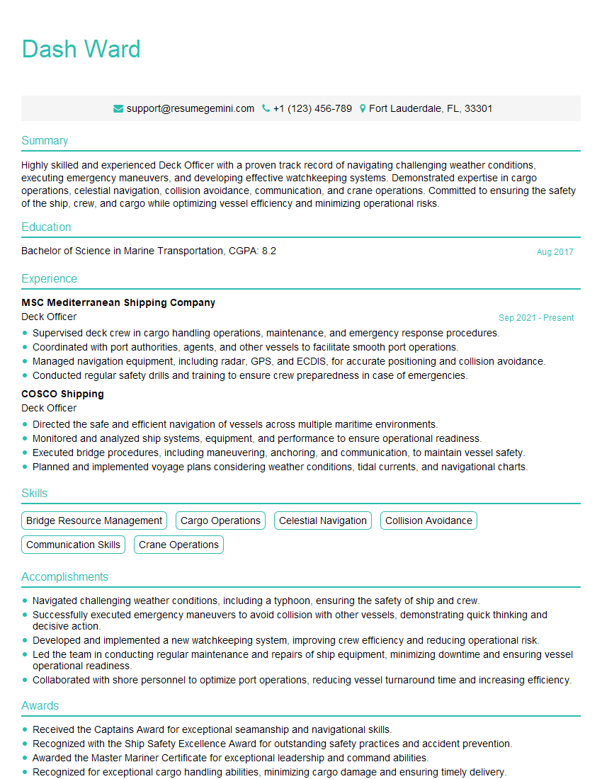
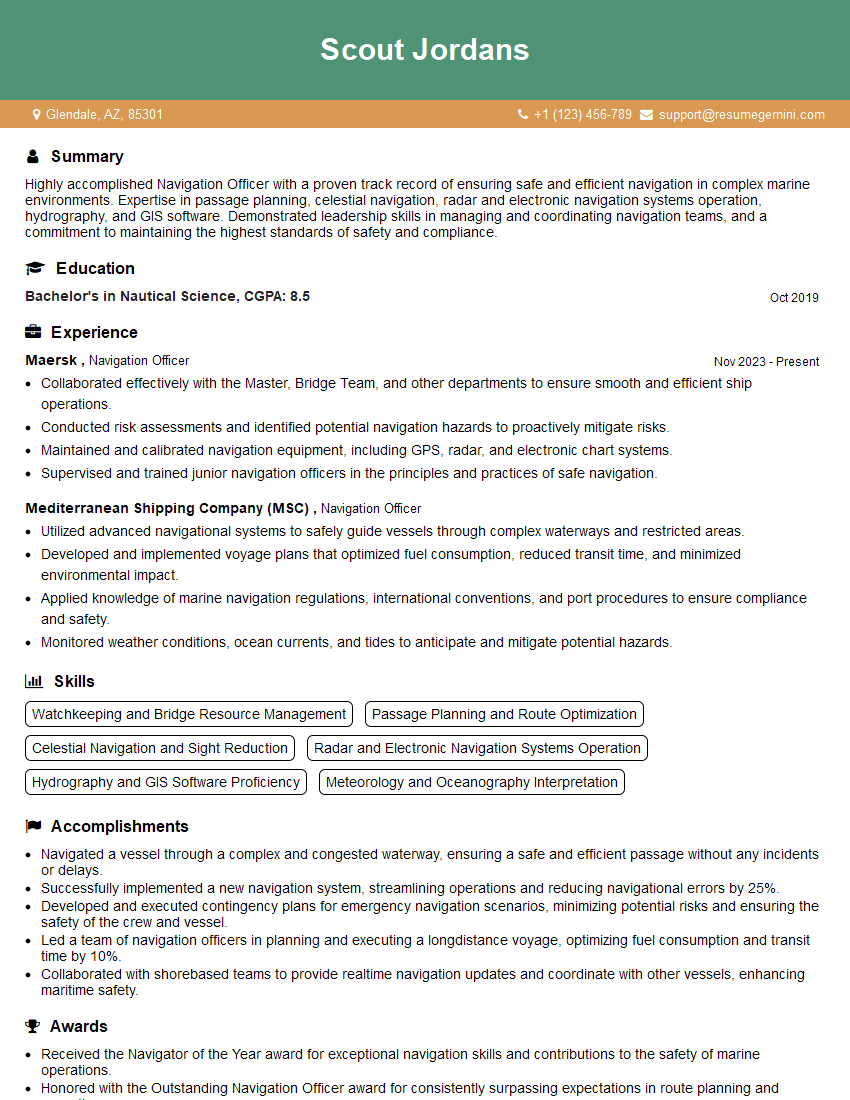
Mastering GPS and ECDIS is crucial for career advancement in the maritime industry, opening doors to higher-paying roles and increased responsibility. A strong understanding of these systems demonstrates a commitment to safety and efficiency, highly valued by employers. To significantly improve your job prospects, create a compelling and ATS-friendly resume that highlights your skills and experience. ResumeGemini is a trusted resource that can help you build a professional and effective resume tailored to the maritime industry. Examples of resumes specifically designed for GPS and ECDIS roles are available to guide you. Invest time in crafting a strong resume – it’s your first impression on potential employers!
Explore more articles
Users Rating of Our Blogs
Share Your Experience
We value your feedback! Please rate our content and share your thoughts (optional).
What Readers Say About Our Blog
This was kind of a unique content I found around the specialized skills. Very helpful questions and good detailed answers.
Very Helpful blog, thank you Interviewgemini team.
