Are you ready to stand out in your next interview? Understanding and preparing for Sensitive Lands Protection interview questions is a game-changer. In this blog, we’ve compiled key questions and expert advice to help you showcase your skills with confidence and precision. Let’s get started on your journey to acing the interview.
Questions Asked in Sensitive Lands Protection Interview
Q 1. Describe your experience with environmental impact assessments (EIAs) related to sensitive lands.
Environmental Impact Assessments (EIAs) are crucial for evaluating the potential effects of projects on sensitive lands. My experience spans over a decade, involving numerous EIAs for diverse projects, including infrastructure development, mining, and forestry. I’ve been involved in all phases, from scoping and baseline data collection to impact prediction, mitigation planning, and post-assessment monitoring.
For instance, in one project involving a proposed highway expansion near a wetland ecosystem, we used detailed hydrological modeling to predict changes in water flow and quality. This allowed us to identify potential impacts on the wetland’s biodiversity and design effective mitigation measures, such as the creation of compensatory wetlands.
Another significant project involved a wind farm proposal near a crucial bird migratory route. We employed specialized ornithological surveys to assess the potential for bird collisions and designed strategies like siting adjustments and bird deterrent systems to minimize impacts. Throughout, my focus is always on ensuring that EIAs are robust, transparent, and scientifically defensible.
Q 2. Explain the regulatory framework governing sensitive land protection in your region.
The regulatory framework for sensitive land protection in my region (assuming a hypothetical region for generality) is multifaceted, encompassing federal, state, and local legislation. At the federal level, we have the National Environmental Policy Act (NEPA), which requires federal agencies to conduct EIAs. At the state level, we have the State Environmental Quality Act (SEQRA), which sets similar requirements for state-level projects and often includes specific protections for designated sensitive areas, such as endangered species habitats or wetlands. Local ordinances further refine these regulations, often incorporating detailed zoning rules and land use plans to protect environmentally significant areas. Compliance with these regulations is mandatory for any development project. Penalties for non-compliance can range from project delays to significant fines and legal action.
Q 3. How do you identify and assess threats to sensitive lands?
Identifying and assessing threats to sensitive lands requires a multi-pronged approach. We begin by identifying the sensitive lands themselves, using GIS data, ecological surveys, and existing literature to map areas of high ecological value. These often include wetlands, riparian zones, endangered species habitats, and areas with unique geological or cultural significance.
Once sensitive areas are mapped, we assess threats through various means:
- Habitat fragmentation: Analyzing land use changes and infrastructure development patterns.
- Pollution: Assessing water and air quality, analyzing sources of pollution (e.g., agricultural runoff, industrial discharge).
- Invasive species: Conducting surveys to identify and map the spread of invasive plants and animals.
- Climate change: Evaluating the potential impacts of changing climate patterns on the sensitive ecosystems.
- Human disturbance: Evaluating recreational activities, resource extraction, and other human activities that may affect sensitive lands.
This assessment typically involves quantitative and qualitative data gathering, and we often use statistical modeling and risk assessment frameworks to determine the level of threat.
Q 4. What mitigation strategies are most effective for minimizing the impact of development on sensitive habitats?
Minimizing development impact on sensitive habitats requires a proactive, multi-faceted approach. Mitigation strategies are best implemented using a hierarchy, prioritizing avoidance and minimization before considering compensatory measures:
- Avoidance: This is the most effective strategy. Projects should be sited to avoid sensitive areas altogether if feasible.
- Minimization: If avoidance isn’t possible, the project’s footprint should be minimized through careful design and engineering.
- Mitigation: This involves implementing measures to reduce or compensate for unavoidable impacts. Examples include creating buffer zones, restoring degraded habitats, and implementing erosion and sediment control measures.
- Monitoring: Post-development monitoring is critical to ensure mitigation measures are effective and to detect any unforeseen impacts.
For example, in a coastal development project, we might implement measures to minimize erosion and runoff, establish a buffer zone of native vegetation between the development and the coastline, and possibly create an artificial reef to compensate for habitat loss. The specific mitigation strategies will depend on the project and the nature of the sensitive habitats involved.
Q 5. Describe your experience with habitat restoration and remediation projects.
My experience with habitat restoration and remediation projects is extensive. I’ve been involved in projects that ranged from wetland creation and riparian restoration to the removal of invasive species and the reintroduction of native plants and animals. These projects often involve detailed site assessments, the development of comprehensive restoration plans, and long-term monitoring to assess the success of the restoration efforts.
One notable project involved the restoration of a degraded riparian zone along a river impacted by agricultural runoff. We implemented a multi-phased approach, beginning with the removal of invasive plant species, followed by the planting of native trees and shrubs. We also worked with local farmers to implement Best Management Practices to reduce nutrient runoff into the river. The project’s success was measured through monitoring water quality, vegetation cover, and wildlife habitat.
Q 6. How do you prioritize conservation efforts when resources are limited?
Prioritizing conservation efforts with limited resources requires a strategic approach. I use a combination of methods:
- Species and habitat prioritization: Focusing on areas with high biodiversity, endangered species, or unique ecological features.
- Cost-effectiveness analysis: Identifying conservation actions that yield the greatest benefit for the lowest cost.
- Stakeholder engagement: Collaborating with stakeholders to identify shared priorities and leverage resources.
- Adaptive management: Regularly monitoring and evaluating conservation efforts and adjusting strategies as needed.
For example, we might prioritize protecting a crucial wetland ecosystem supporting a high number of endangered species over a less diverse area, even if the latter is larger. We’d also explore partnerships with NGOs and private landowners to share resources and expand our reach.
Q 7. What GIS software are you proficient in and how have you used it in sensitive lands protection?
I am proficient in several GIS software packages, including ArcGIS, QGIS, and ERDAS IMAGINE. My expertise extends to the use of spatial analysis tools to identify and map sensitive lands, assess threats, and design conservation strategies. For example, I use ArcGIS to overlay different datasets (e.g., land cover maps, soil maps, hydrological models) to identify areas of high ecological value. I also use spatial analysis tools to model the spread of invasive species or to evaluate the effectiveness of different conservation interventions.
In a recent project, I used QGIS to create a map of potential habitat loss due to a proposed development project. This map helped inform the design of mitigation strategies and negotiations with the developer. GIS software is an indispensable tool for efficient and effective sensitive lands protection.
Q 8. How do you incorporate stakeholder engagement in your sensitive lands protection projects?
Stakeholder engagement is paramount in sensitive lands protection. It’s not just about informing people; it’s about building consensus and fostering a shared sense of responsibility. We employ a multi-pronged approach. Initially, we conduct thorough needs assessments, identifying all stakeholders – from local communities and landowners to government agencies, NGOs, and indigenous groups. We then utilize various engagement methods, including public forums, workshops, online surveys, and one-on-one meetings. This ensures diverse perspectives are heard and incorporated into project planning and implementation. For example, in a recent project protecting a coastal wetland, we collaborated closely with local fishing communities to understand their needs and concerns, ultimately developing a management plan that balanced conservation with sustainable fishing practices. Active listening, transparency, and mutual respect are crucial for building trust and achieving successful outcomes.
We also focus on creating collaborative partnerships. These partnerships leverage the expertise and resources of various stakeholders, leading to more comprehensive and effective conservation strategies. For instance, in a project involving endangered species, we formed a partnership with a university research team, a local environmental NGO, and the government wildlife agency, each contributing their specific skills and knowledge to ensure project success.
Q 9. What are the key ecological factors you consider when planning conservation strategies?
Protecting sensitive lands requires a deep understanding of the ecological factors at play. Key considerations include biodiversity – the variety of species and genetic diversity within them – habitat connectivity, the ability of species to move between habitats, and ecosystem processes like nutrient cycling and water flow. We analyze things like species distribution, habitat quality, presence of invasive species, and the impact of climate change. For example, when developing a conservation plan for a forest ecosystem, we’d assess the presence of keystone species (species with a disproportionately large impact on the ecosystem), the health of the forest canopy, and the presence of any invasive plant species that may be threatening native flora. We also model the potential impacts of climate change, such as altered precipitation patterns and increased temperatures, and incorporate these predictions into our conservation strategy. This holistic approach ensures that our conservation efforts are effective and long-lasting.
Q 10. Explain your understanding of endangered species protection laws and regulations.
My understanding of endangered species protection laws and regulations is comprehensive. I’m familiar with both international conventions, such as CITES (Convention on International Trade in Endangered Species of Wild Fauna and Flora), and national and regional legislation. These laws often include provisions for habitat protection, species recovery plans, and restrictions on activities that threaten endangered species. For instance, the Endangered Species Act in the United States provides a framework for identifying and protecting endangered and threatened species, including the designation of critical habitats and the implementation of recovery plans. Understanding these legal frameworks is crucial for ensuring that our projects comply with all regulations and contribute to the long-term survival of endangered species. We also stay informed about ongoing changes in these laws and regulations to ensure our actions remain legally sound and effective.
Q 11. How do you monitor the effectiveness of your sensitive lands protection initiatives?
Monitoring the effectiveness of our initiatives is an ongoing process. We employ a range of monitoring techniques, including biodiversity surveys, habitat assessments, and population monitoring of key species. For example, we might use camera traps to monitor wildlife populations, conduct vegetation surveys to assess habitat quality, or analyze water quality data to assess the health of aquatic ecosystems. The data we collect informs adaptive management strategies. If we notice that a particular conservation method isn’t yielding the desired results, we can adapt our approach accordingly. For instance, if we observe a decline in a specific bird species’s population despite habitat restoration efforts, we may need to investigate additional factors such as pesticide use or climate change impacts and adjust our conservation plan accordingly. Regular reporting and evaluation are essential for demonstrating the impact of our work to stakeholders and securing continued funding.
Q 12. What are the challenges associated with long-term conservation planning?
Long-term conservation planning faces several significant challenges. Funding is often a major constraint, as conservation efforts require sustained financial investment. Another challenge is the unpredictable nature of environmental changes, including climate change, which can impact ecosystems in unforeseen ways. Maintaining community support and engagement over the long term can also be difficult. People’s priorities and interests change, so maintaining broad-based support for conservation projects requires ongoing effort and adaptation. We tackle these challenges through diverse funding strategies, seeking funding from governments, private foundations, and corporations. We also use predictive modelling and incorporate climate change projections into our plans to adapt to potential environmental shifts. Maintaining ongoing communication and collaboration with communities is crucial to securing long-term support for the conservation initiatives.
Q 13. Describe your experience with wetland protection and management.
Wetland protection and management is a core area of my expertise. Wetlands are incredibly valuable ecosystems providing crucial habitat for a wide range of species, acting as natural water filters, and mitigating flood risks. My experience includes projects focused on wetland restoration, invasive species management, and water quality improvement. For example, I’ve worked on projects restoring degraded wetlands by removing invasive plant species and replanting native vegetation. We also implement water management strategies to improve water quality and maintain appropriate water levels for wetland plants and animals. Working with landowners to incorporate best management practices for agriculture and other land uses near wetlands is crucial in minimizing the negative impacts on these critical ecosystems. Successful wetland conservation requires integrating ecological knowledge with community engagement and regulatory compliance.
Q 14. Explain your knowledge of different types of sensitive habitats (e.g., riparian areas, coastal zones).
Sensitive habitats are diverse and require tailored conservation strategies. Riparian areas, the land adjacent to rivers and streams, are crucial for water quality, erosion control, and wildlife habitat. They are especially vulnerable to land-use changes like agriculture and development. Coastal zones are equally vulnerable to pollution, sea-level rise, and coastal development. We consider the unique characteristics of each habitat when designing conservation plans. For instance, in riparian areas, we might focus on buffer strip creation to protect water quality and provide wildlife corridors. In coastal zones, we might work on beach nourishment projects to mitigate erosion or implement measures to reduce pollution runoff from urban areas. Other examples of sensitive habitats include old-growth forests, alpine meadows, and caves. Each requires careful assessment to determine the most appropriate conservation strategies, taking into account the specific threats and ecological values of the particular habitat.
Q 15. How do you address conflicts between land development and conservation needs?
Balancing land development and conservation requires a nuanced approach focusing on mitigation and strategic planning. It’s not about choosing one over the other, but finding creative solutions that minimize environmental impact.
My strategy involves collaborative stakeholder engagement, beginning with thorough environmental impact assessments (EIAs). These assessments identify sensitive habitats, species, and ecological processes, highlighting areas most vulnerable to development. Then, we explore mitigation strategies such as habitat restoration, conservation easements, or alternative development designs to reduce the footprint of the project. For instance, a proposed housing development might be redesigned to avoid a critical wetland, using a smaller footprint or incorporating green building practices. In cases where impacts cannot be fully mitigated, we often pursue compensatory mitigation – restoring or creating habitat elsewhere to offset unavoidable losses. This necessitates working closely with regulatory agencies and ensuring all mitigation plans are scientifically sound and legally compliant.
For example, in a recent project near a coastal estuary, we worked with developers to shift the housing development further inland, preserving critical salt marsh habitat vital for migrating birds. In return, the developers received expedited permitting approval due to the environmental gains. This demonstrates how finding mutually beneficial solutions is possible.
Career Expert Tips:
- Ace those interviews! Prepare effectively by reviewing the Top 50 Most Common Interview Questions on ResumeGemini.
- Navigate your job search with confidence! Explore a wide range of Career Tips on ResumeGemini. Learn about common challenges and recommendations to overcome them.
- Craft the perfect resume! Master the Art of Resume Writing with ResumeGemini’s guide. Showcase your unique qualifications and achievements effectively.
- Don’t miss out on holiday savings! Build your dream resume with ResumeGemini’s ATS optimized templates.
Q 16. What are your strategies for communicating complex environmental information to non-technical audiences?
Communicating complex environmental information effectively to non-technical audiences requires simplifying complex concepts without sacrificing scientific accuracy. I employ several strategies to achieve this.
- Visual aids: Maps, charts, infographics, and photographs are powerful tools for conveying data in an easily digestible manner. A picture is worth a thousand words, especially when explaining habitat fragmentation or biodiversity loss.
- Analogies and metaphors: Using familiar concepts to illustrate ecological processes, such as comparing a watershed to a human circulatory system, can make complex ideas relatable.
- Storytelling: Weaving narratives around environmental issues adds an emotional element, creating a more engaging and memorable experience. Sharing stories of successful conservation projects can inspire and motivate action.
- Interactive engagement: Workshops, site visits, and Q&A sessions provide opportunities for direct interaction and clarification. This allows for personalized communication and addresses specific audience concerns.
In one instance, to explain the importance of groundwater recharge to a community group, I used a visual analogy comparing an aquifer to a giant sponge absorbing and releasing water. This readily conveyed the concept of water table depletion from over-extraction.
Q 17. Describe your experience working with regulatory agencies on sensitive lands projects.
My experience working with regulatory agencies on sensitive lands projects spans over 15 years and involves navigating complex permitting processes and environmental regulations. I have a strong understanding of the Endangered Species Act, Clean Water Act, and other relevant legislation, and I actively engage with agencies such as the US Fish and Wildlife Service, the Environmental Protection Agency, and state-level conservation departments.
Successful collaboration hinges on proactive communication, transparency, and the submission of meticulously prepared documentation. This includes detailed site assessments, comprehensive mitigation plans, and robust monitoring protocols. I have developed strong professional relationships with agency personnel, allowing for productive dialogue and efficient permit acquisition. This is important as agencies often have multiple, overlapping, jurisdictions resulting in numerous review and approval processes.
For example, in a recent project involving a proposed pipeline crossing a sensitive riparian area, I worked closely with the Army Corps of Engineers to secure a Section 404 permit. This required extensive water quality modeling, demonstrating our commitment to protecting aquatic resources. Our transparent and collaborative approach resulted in a smooth permitting process.
Q 18. How do you ensure compliance with environmental regulations related to sensitive land protection?
Ensuring compliance with environmental regulations is paramount. It requires a multi-faceted approach that begins before project initiation and continues throughout the project lifecycle.
- Proactive planning: Conducting thorough due diligence, including environmental site assessments, to identify potential compliance issues early.
- Permitting: Obtaining all necessary permits and licenses from relevant agencies, ensuring adherence to permit conditions.
- Monitoring: Implementing effective monitoring programs to track project impacts on sensitive lands and ensure compliance with permit requirements. This often requires quantitative data collection and regular reporting to the agencies involved.
- Record-keeping: Maintaining comprehensive records of all compliance-related activities, including permits, monitoring data, and corrective actions. This diligent record keeping forms the audit trail of activities and demonstrates compliance.
- Adaptive management: Adjusting project implementation based on monitoring results to address unexpected challenges and maintain compliance.
For example, we regularly conduct water quality testing on a construction site near a river to ensure compliance with effluent limits stipulated in our permit. Any exceedances trigger immediate corrective actions and reporting to the relevant agency.
Q 19. What are the best practices for minimizing the impacts of invasive species on sensitive lands?
Minimizing the impacts of invasive species requires a multi-pronged strategy involving prevention, early detection, and control.
- Prevention: This is the most cost-effective approach, focusing on preventing the introduction and spread of invasive species. Measures include cleaning equipment, inspecting imported materials, and implementing robust biosecurity protocols to minimize risks.
- Early detection: Regular monitoring and surveys to detect invasive species at low densities before they become widespread. Early detection allows for rapid and effective eradication efforts.
- Control: Once established, control measures may involve mechanical removal, chemical treatments, or biological controls. The chosen method should be ecologically sound, considering non-target species and the surrounding ecosystem.
- Restoration: Once invasive species are controlled, restoring native plant communities is essential to promote ecosystem resilience and prevent reinvasion.
In a recent project dealing with Japanese knotweed infestation along a riverbank, we employed a combination of mechanical removal and targeted herbicide application, followed by native plant replanting to restore the riparian habitat.
Q 20. How do you evaluate the potential risks and uncertainties associated with sensitive lands projects?
Evaluating risks and uncertainties in sensitive lands projects requires a systematic approach. We utilize risk assessment frameworks that identify potential hazards, assess their likelihood, and quantify their potential impacts.
This process typically involves:
- Identifying potential hazards: This could range from invasive species to extreme weather events, changes in land use, and unforeseen construction impacts.
- Assessing likelihood and impact: Using expert judgment, historical data, and predictive modeling, we determine the probability of each hazard occurring and its potential consequences on sensitive ecosystems.
- Developing mitigation strategies: Creating plans to reduce the likelihood and impact of identified hazards, including contingency plans for unforeseen circumstances.
- Monitoring and adaptive management: Regularly monitoring conditions, tracking changes, and adapting management strategies based on the observed impacts. This allows flexibility to changing conditions.
For instance, when evaluating a project near a flood-prone area, we would assess the risk of flooding based on historical data and hydrological modeling. This would inform the design of infrastructure, including flood defenses and emergency evacuation plans. The assessment also helps define the level of insurance needed to manage potential losses.
Q 21. Explain your understanding of adaptive management in the context of conservation.
Adaptive management is a structured, iterative approach to conservation that acknowledges the inherent uncertainties in ecological systems. It’s not about having all the answers upfront; instead, it’s about learning as you go and adapting management strategies based on new information and monitoring results.
The core principles of adaptive management are:
- Structured decision-making: A clear framework for defining objectives, identifying alternatives, assessing risks, and making decisions.
- Monitoring and evaluation: Regular monitoring of key indicators to track progress toward objectives and detect unexpected changes.
- Feedback loops: Using monitoring data to inform management adjustments, ensuring strategies remain relevant and effective.
- Flexibility and adaptation: Willingness to modify management actions based on new evidence, acknowledging that conservation is an ongoing process.
Imagine a wetland restoration project. The initial restoration plan might focus on replanting native vegetation. However, ongoing monitoring might reveal that an invasive species is outcompeting native plants. This information would trigger an adaptive response, such as implementing invasive species control measures and adjusting the vegetation planting strategy. This iterative approach increases the chance of project success.
Q 22. Describe your experience using remote sensing and aerial imagery for sensitive lands monitoring.
Remote sensing and aerial imagery are invaluable tools for sensitive lands monitoring. They allow for large-scale, cost-effective, and repeated observation of land cover changes over time, which is crucial for detecting threats to sensitive ecosystems.
My experience involves using various techniques including multispectral imagery (like Landsat and Sentinel data) to identify changes in vegetation health, soil moisture, and land use. For instance, we can detect illegal deforestation in protected rainforests by comparing historical and current satellite images, identifying areas with sudden and significant reductions in vegetation cover. High-resolution aerial imagery, often obtained through drones or manned aircraft, provides detailed information for localized assessments. This could involve mapping the exact extent of a wetland impacted by a construction project or identifying erosion patterns near a riverbank.
I’ve used image processing software such as ArcGIS and QGIS to analyze this data, utilizing techniques like NDVI (Normalized Difference Vegetation Index) calculations to quantify vegetation health, and change detection algorithms to pinpoint areas of alteration. For example, a significant drop in NDVI in a previously healthy wetland area would raise a red flag and prompt further investigation.
Q 23. How do you assess the cumulative impacts of multiple development projects on sensitive lands?
Assessing cumulative impacts requires a holistic approach that goes beyond evaluating individual projects in isolation. We need to consider the synergistic effects of multiple development projects on sensitive lands. This often involves a spatial analysis approach.
Firstly, we identify all planned or existing projects within a defined geographic area impacting the sensitive land. Then, we evaluate each project’s individual impacts, considering factors such as habitat loss, pollution, fragmentation, and alteration of hydrological processes. For example, one project might cause minor habitat fragmentation, but combined with several other projects, it could lead to significant habitat loss and ecosystem degradation.
GIS software and spatial overlay techniques play a key role in this process, allowing us to visualize the cumulative effects geographically. We might overlay maps showing project footprints, habitat types, and water resources to identify areas experiencing multiple stressors. This allows for a more comprehensive understanding than simply summing up individual project impacts. Finally, we use environmental models to predict future scenarios and assess the long-term consequences of the cumulative impacts, often including stakeholder input in scenario planning.
Q 24. What are the ethical considerations related to sensitive lands protection?
Ethical considerations in sensitive lands protection are paramount. They center on principles of fairness, justice, and sustainability.
- Intergenerational equity: We have an ethical obligation to conserve sensitive lands for future generations, ensuring they have access to the same environmental resources we enjoy. This requires careful planning and responsible resource management that avoids irreversible damage.
- Environmental justice: Protection efforts must consider the distribution of environmental benefits and burdens. Disproportionately impacting vulnerable communities through land use decisions is unethical. For example, locating polluting industries near low-income neighborhoods should be avoided.
- Transparency and accountability: Decisions regarding sensitive lands must be open, transparent, and subject to public scrutiny. This includes engaging stakeholders in decision-making processes and ensuring accountability for environmental performance.
- Precautionary principle: When there is uncertainty about the potential impacts of a development project, it’s ethically responsible to err on the side of caution and prioritize protection. This is particularly important for unique or fragile ecosystems.
Ignoring these ethical considerations undermines the long-term effectiveness of conservation efforts and can lead to social and environmental conflicts.
Q 25. Explain your knowledge of carbon sequestration and its relevance to sensitive lands.
Carbon sequestration is the process by which carbon dioxide is removed from the atmosphere and stored in carbon sinks, such as forests, wetlands, and soils. Sensitive lands, due to their ecological richness and often high biomass, are crucial carbon sinks.
Protecting and restoring these lands is essential for mitigating climate change. For example, peatlands, a type of sensitive wetland, store vast amounts of carbon. Draining peatlands for agriculture or development releases this stored carbon back into the atmosphere, significantly contributing to greenhouse gas emissions. Conversely, protecting and restoring these peatlands maintains their carbon sequestration capacity. Similarly, healthy forests absorb significant CO2 through photosynthesis. Deforestation of sensitive forest ecosystems, therefore, not only destroys biodiversity but also significantly reduces carbon sequestration potential. The incorporation of carbon sequestration capacity into assessments of sensitive land management is therefore a critical aspect of evaluating the overall environmental impact.
My work often involves incorporating carbon accounting methods into sensitive lands management plans, assessing the carbon sequestration potential of different land management scenarios, and developing strategies for enhancing carbon storage.
Q 26. How do you balance economic development with environmental sustainability in sensitive land management?
Balancing economic development with environmental sustainability in sensitive land management is a complex challenge requiring careful planning and innovative approaches. It’s not about choosing one over the other, but finding synergies and sustainable solutions.
One approach is strategic land-use planning. Identifying areas suitable for development while strictly protecting ecologically sensitive areas is essential. This often involves designating zones for different land uses, prioritizing development in areas with lower ecological value and protecting high-value areas from development. Another key aspect is incentivizing sustainable development practices. This could involve offering tax breaks or grants for businesses that adopt environmentally friendly technologies or practices. Investing in green infrastructure, such as renewable energy sources, can reduce environmental impact while simultaneously stimulating economic growth. Finally, engagement with stakeholders is crucial. This includes local communities, businesses, and government agencies to find common ground and develop mutually agreeable solutions.
A successful approach requires a long-term perspective, moving away from short-term economic gains that can lead to irreparable environmental damage. It involves a commitment to sustainable solutions that benefit both the economy and the environment.
Q 27. Describe your experience with public education and outreach related to sensitive lands conservation.
Public education and outreach are critical for successful sensitive lands conservation. People need to understand the importance of these lands and their role in ecosystem health and human well-being.
My experience includes developing and delivering educational programs for various audiences, from school children to local community groups and policymakers. This includes creating interactive workshops, developing educational materials (brochures, websites, social media campaigns), and organizing guided nature walks and field trips to sensitive areas. I’ve also worked with local media outlets to raise public awareness about sensitive lands conservation issues. For instance, we organized a community photography contest focusing on the beauty and importance of a local wetland area to engage the community in its protection. We also worked with local schools to create educational curriculum materials about the ecology of the area and its importance in carbon sequestration.
Success in this area depends on engaging multiple communication channels to reach different audiences with information tailored to their interests and levels of understanding. The goal is to foster a sense of stewardship and responsibility towards these valuable ecosystems.
Key Topics to Learn for Sensitive Lands Protection Interview
- Environmental Regulations and Legislation: Understanding relevant national and international laws pertaining to sensitive land protection, including endangered species acts, wetland conservation regulations, and protected area management frameworks.
- Ecosystem Assessment and Mapping: Practical application of GIS and remote sensing technologies for identifying and mapping sensitive ecosystems, assessing their vulnerability, and monitoring changes over time. This includes fieldwork experience and data analysis skills.
- Conservation Planning and Management Strategies: Developing and implementing effective conservation plans for sensitive lands, including habitat restoration, invasive species control, and sustainable resource management techniques.
- Stakeholder Engagement and Communication: Experience working collaboratively with diverse stakeholders (landowners, government agencies, local communities) to achieve conservation goals, including conflict resolution and negotiation skills.
- Environmental Impact Assessment (EIA): Conducting and reviewing EIAs to identify potential impacts of development projects on sensitive lands and recommending mitigation strategies.
- Monitoring and Evaluation: Implementing robust monitoring programs to track the effectiveness of conservation efforts and adapt management strategies as needed. Understanding data analysis and reporting techniques is crucial.
- Climate Change Adaptation and Resilience: Understanding the impacts of climate change on sensitive lands and incorporating climate resilience into conservation planning and management strategies.
Next Steps
Mastering Sensitive Lands Protection opens doors to rewarding careers with significant positive impact on the environment. Your expertise in this field is highly valuable and in demand. To maximize your job prospects, creating a strong, ATS-friendly resume is crucial. ResumeGemini offers a powerful tool to build a professional resume that highlights your skills and experience effectively. We provide examples of resumes tailored specifically to Sensitive Lands Protection to help you craft a compelling application that showcases your qualifications. Invest time in crafting a resume that accurately reflects your expertise and passion for protecting sensitive lands – it’s your key to unlocking exciting career opportunities.
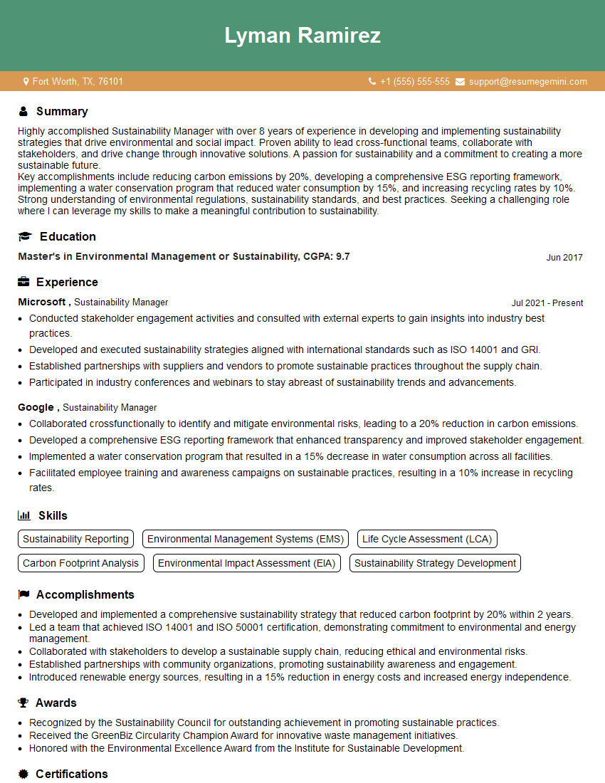
Sustainability Manager Resume Sample
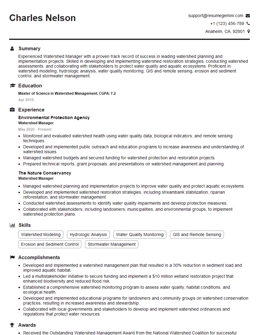
Watershed Manager Resume Sample
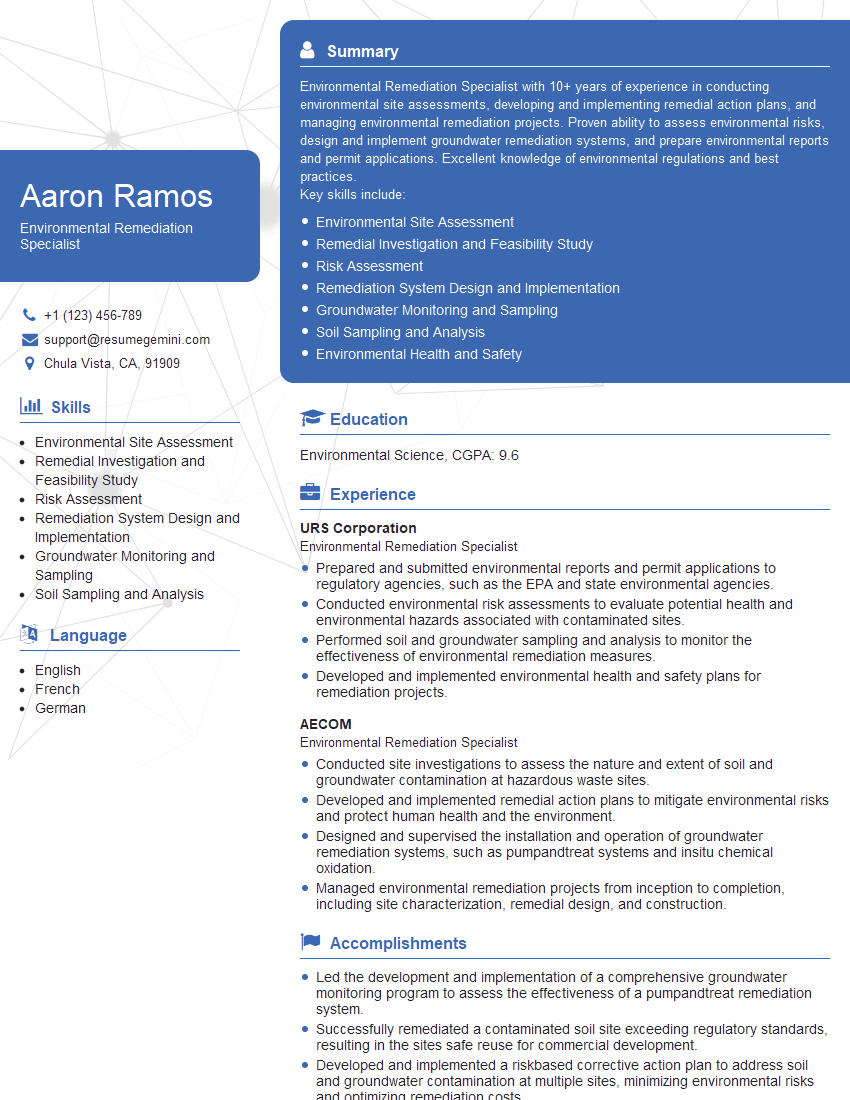
Environmental Remediation Specialist Resume Sample
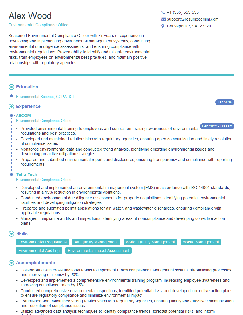
Environmental Compliance Officer Resume Sample
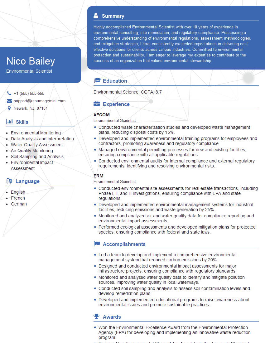
Environmental Scientist Resume Sample
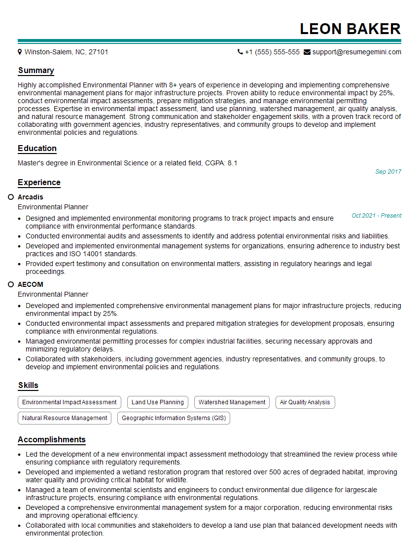
Environmental Planner Resume Sample
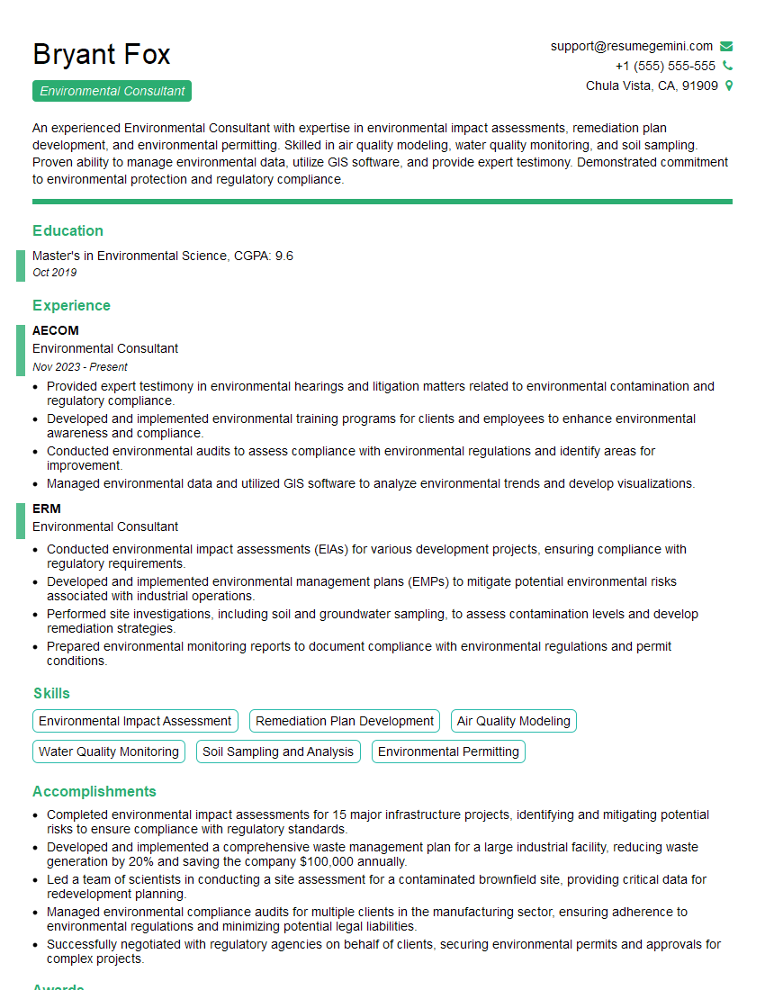
Environmental Consultant Resume Sample

Wildlife Biologist Resume Sample
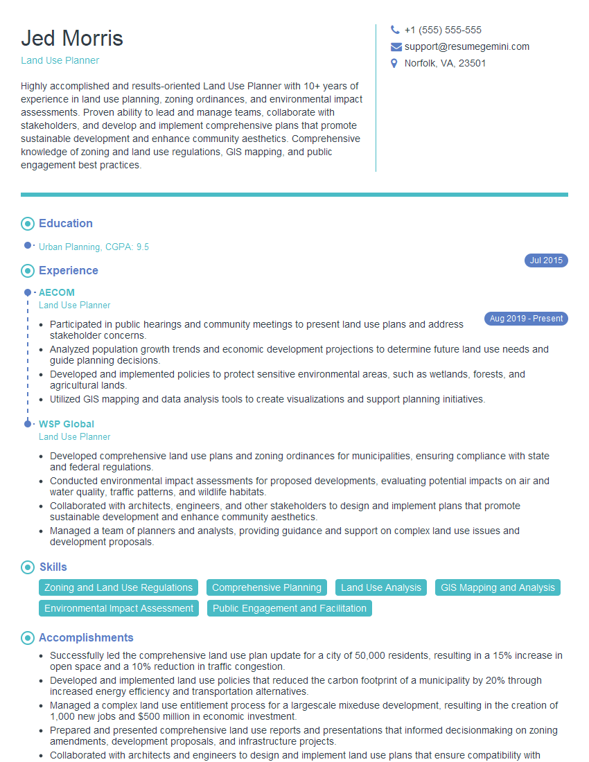
Land Use Planner Resume Sample
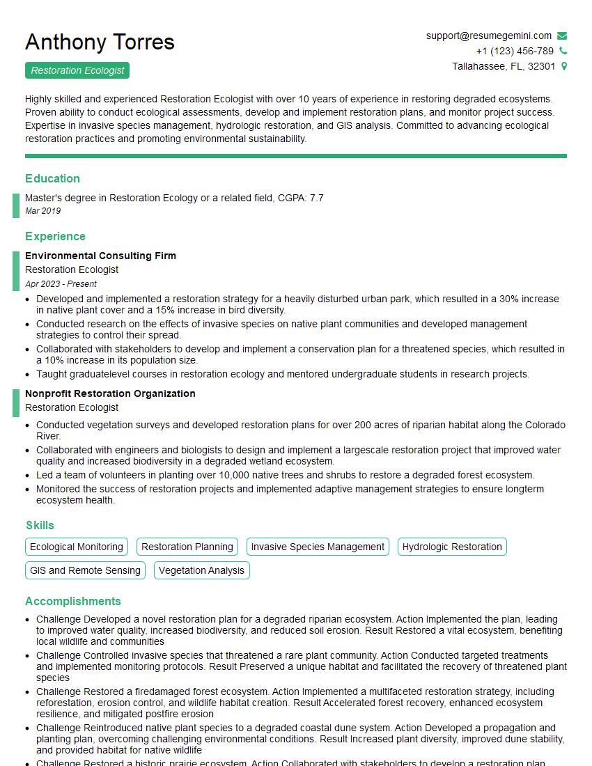
Restoration Ecologist Resume Sample
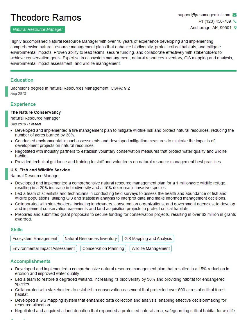
Natural Resource Manager Resume Sample
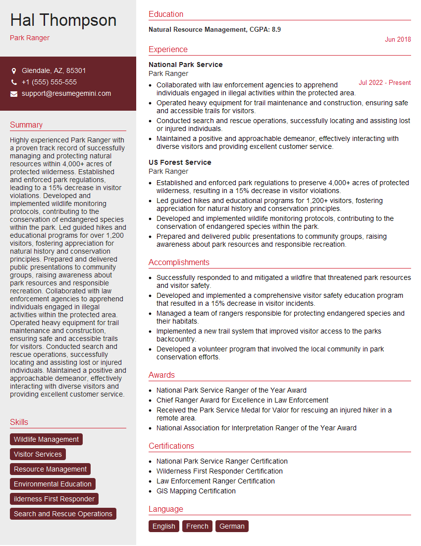
Park Ranger Resume Sample
Explore more articles
Users Rating of Our Blogs
Share Your Experience
We value your feedback! Please rate our content and share your thoughts (optional).
What Readers Say About Our Blog
To the interviewgemini.com Webmaster.
Very helpful and content specific questions to help prepare me for my interview!
Thank you
To the interviewgemini.com Webmaster.
This was kind of a unique content I found around the specialized skills. Very helpful questions and good detailed answers.
Very Helpful blog, thank you Interviewgemini team.