Preparation is the key to success in any interview. In this post, we’ll explore crucial Transit Planning and Design interview questions and equip you with strategies to craft impactful answers. Whether you’re a beginner or a pro, these tips will elevate your preparation.
Questions Asked in Transit Planning and Design Interview
Q 1. Explain the difference between transit-oriented development (TOD) and activity-centered development.
While both Transit-Oriented Development (TOD) and Activity-Centered Development (ACD) aim to create vibrant, walkable communities, they differ in their approach. TOD focuses on maximizing the use of public transit by concentrating development around transit stations, creating a synergy between land use and transportation. Think of it as building the city *around* the transit system. ACD, on the other hand, prioritizes creating diverse and accessible activity centers throughout a city, regardless of their proximity to high-capacity transit. These centers might include employment hubs, shopping districts, or entertainment venues, which are designed to be easily accessible by various modes of transportation, including transit, walking, and cycling. The key distinction lies in the primary driver: TOD is transit-centric, while ACD is activity-centric, with transit playing a supporting, albeit important, role.
Example: A TOD project might involve constructing high-density residential buildings and commercial spaces directly adjacent to a light rail station. An ACD project might revitalize an existing town center by improving pedestrian access, adding amenities, and enhancing public transportation connections, even if the area isn’t directly on a major transit line.
Q 2. Describe your experience with different transit modeling software (e.g., TransCAD, VISUM).
I have extensive experience with several transit modeling software packages, including TransCAD and VISUM. In my previous role, we used TransCAD extensively for network modeling, origin-destination matrix analysis, and simulating various transit scenarios. We leveraged its powerful capabilities to assess the impact of different bus routing strategies on overall travel times and ridership. For instance, we used TransCAD to model the effect of implementing bus priority measures at intersections, leading to a significant reduction in overall travel times and improved system efficiency. Similarly, VISUM has been invaluable in larger-scale network modeling projects where its sophisticated algorithms for traffic assignment and transit simulation proved crucial. I have used VISUM to model complex interactions between various modes of transportation and to evaluate the efficacy of proposed transit network improvements for a large metropolitan area, including evaluating potential impacts on traffic congestion.
My proficiency extends beyond simply running simulations; I’m adept at interpreting the results, identifying bottlenecks, and recommending practical improvements to the transit network based on the model outputs. I am also comfortable with data preprocessing, model calibration, and validation techniques essential to ensure the accuracy and reliability of the model’s predictions.
Q 3. How do you assess the effectiveness of a transit system?
Assessing the effectiveness of a transit system requires a multi-faceted approach, going beyond simply measuring ridership. We need to consider several key performance indicators (KPIs). These include:
- Ridership: While not the sole measure, ridership provides a fundamental indication of system usage and overall popularity.
- On-time performance: Reliable service is critical for attracting and retaining riders. Consistent delays erode public trust.
- Speed and travel time: Faster and more efficient travel times compared to private vehicles are essential for attracting commuters.
- Accessibility: How easily can people of all abilities access and use the system? This involves assessing factors such as proximity to stops, level boarding, and wayfinding.
- Safety and security: A safe and secure environment is paramount for rider satisfaction and overall system success.
- Cost-effectiveness: Analyzing the system’s operating costs and comparing them to ridership and benefits is vital for determining its financial sustainability.
- Environmental impact: Measuring the system’s contribution to reducing greenhouse gas emissions and improving air quality demonstrates its environmental benefits.
By analyzing these KPIs, we can obtain a comprehensive understanding of the system’s effectiveness and identify areas for improvement. Often, a balanced scorecard approach is used to weigh these factors appropriately, given the specific context and goals of the transit system.
Q 4. What are the key factors to consider when designing a bus rapid transit (BRT) system?
Designing an effective Bus Rapid Transit (BRT) system requires careful consideration of several key factors:
- Dedicated Right-of-Way: This is arguably the most crucial element. Dedicated lanes or busways minimize interference from other traffic, significantly improving speed and reliability.
- Frequent Service: High-frequency service reduces wait times, increasing ridership and attractiveness to potential users. Short headways are key.
- Level Boarding: Eliminating steps at bus stops improves accessibility for people with disabilities and the elderly, accelerating boarding and alighting times.
- Modern Fleet: Investing in comfortable, air-conditioned buses with features such as electronic displays and real-time information enhances the rider experience.
- Off-board fare collection: Pre-paid fares or smart card systems reduce boarding times and increase efficiency.
- Transit Signal Priority: Using technology to give buses priority at intersections significantly reduces delays.
- Accessibility: Ensuring accessibility for all users, including wheelchair users, visually impaired individuals, and elderly passengers is crucial. This includes features like ramps, audible announcements, and clear signage.
- Integration with other modes: Seamless transfers with other modes of transportation, such as trains or subways, are vital to improve overall system effectiveness.
- Route planning and network design: Thorough analysis of potential routes, demand patterns, and travel times is essential for optimizing network design.
Example: Curitiba, Brazil’s BRT system is frequently cited as a model example, demonstrating the importance of dedicated lanes and high-frequency service in creating a successful BRT system.
Q 5. Explain the concept of Level of Service (LOS) in transit planning.
Level of Service (LOS) in transit planning refers to a qualitative measure of the quality of service provided by a transit system. It’s a way to describe the overall rider experience, encompassing factors such as comfort, convenience, and efficiency. LOS is typically categorized using letter grades (A being the best and F being the worst), with each grade representing a range of performance indicators. These indicators might include:
- Waiting time at stops: Longer wait times equate to a lower LOS.
- Crowding on board: Overcrowding leads to discomfort and lower LOS.
- Travel time: Slower travel times translate to lower LOS.
- Reliability of service: Frequent delays or cancellations result in lower LOS.
- Accessibility: Difficulty accessing the system lowers LOS.
LOS helps transit planners assess the effectiveness of different transit strategies and identify areas requiring improvement. It provides a common metric for comparing different transit corridors or systems. For example, a route with frequent service and short wait times would likely receive a higher LOS rating than a route with infrequent service and long wait times, even if both routes carry the same number of passengers.
Q 6. How do you incorporate accessibility considerations into transit planning?
Incorporating accessibility considerations into transit planning is not just ethically right but also crucial for ensuring the system serves all members of the community. It’s about creating a system that is usable and enjoyable for people of all ages, abilities, and backgrounds. This involves considering:
- Universal Design Principles: Designing stations and vehicles with features accessible to everyone, including wheelchair users, visually impaired individuals, and elderly people. This includes elements like ramps, level boarding, audible announcements, tactile paving, and clear signage.
- Accessibility of stops: Ensuring easy access to bus stops and train stations, considering factors such as proximity to residential areas, pedestrian walkways, and the presence of curb cuts.
- Information and communication: Providing clear, accessible information about routes, schedules, and fares through various mediums, such as mobile apps, websites, and audio announcements.
- Assistive technologies: Considering the use of assistive technologies, such as screen readers and audio announcements, for passengers with visual or hearing impairments.
- Community engagement: Involving people with disabilities in the planning process to ensure their needs are appropriately addressed. This could involve focus groups or surveys.
- Compliance with accessibility standards: Adhering to relevant accessibility standards and regulations (e.g., ADA in the U.S.) to ensure the system meets minimum legal requirements.
A well-planned accessible transit system benefits everyone, creating a more inclusive and equitable society. It’s not just about compliance; it’s about creating a welcoming and user-friendly experience for all.
Q 7. Describe your experience with Geographic Information Systems (GIS) in transit planning.
Geographic Information Systems (GIS) are indispensable tools in transit planning. I’ve extensively used GIS software (primarily ArcGIS) to manage, analyze, and visualize geographic data related to transit systems. Some key applications include:
- Network visualization and analysis: GIS allows me to create and analyze maps of transit networks, identifying gaps in service, overlaps, and potential areas for improvement.
- Ridership analysis: By integrating ridership data with geographic information, I can identify high-demand corridors and areas with low ridership, informing decisions on service frequency and route adjustments.
- Accessibility analysis: GIS helps assess the accessibility of transit services to various populations, identifying areas with limited access and informing strategies to improve accessibility.
- Site selection for new transit infrastructure: GIS assists in identifying suitable locations for new bus stops, train stations, or park-and-ride facilities based on factors such as proximity to residential areas, land availability, and traffic conditions.
- Integration with other data sources: GIS facilitates the integration of various data sources, such as demographic data, land use data, and traffic data, to create comprehensive analyses and inform decision-making.
- Public presentation and communication: GIS allows for the creation of visually appealing maps and reports to effectively communicate transit planning information to the public and stakeholders.
In essence, GIS empowers me to think geographically, to see the big picture, and make data-driven decisions to create more efficient and equitable transit systems.
Q 8. How do you conduct a ridership forecast for a new transit line?
Ridership forecasting for a new transit line is crucial for determining its viability and optimizing its design. It involves projecting the number of passengers expected to use the line daily, monthly, or annually. This is done using a combination of quantitative and qualitative methods.
Data Collection: We start by gathering data on existing transit usage, demographic information (population density, income levels, employment patterns) in the area the new line will serve, land use patterns, and accessibility to existing transit options. We may utilize existing transit databases, census data, and geographic information systems (GIS).
Demand Modeling: Several models can be employed, depending on the data available and project complexity. Simple models might rely on trip generation rates based on land use and zonal populations. More sophisticated models, like four-step travel demand models, incorporate trip generation, distribution, mode choice, and assignment to predict trips along the new line. These models often require advanced software packages.
Scenario Planning: We explore various scenarios – for example, different fare structures, service frequencies, and levels of integration with other transit modes – to understand how these factors influence ridership. This allows for sensitivity analysis and helps to optimize the service planning.
Calibration and Validation: The model’s accuracy is checked against existing ridership data. Adjustments are made to ensure a reasonable match. This iterative process improves the model’s reliability.
Uncertainty Analysis: It’s crucial to acknowledge the inherent uncertainty in forecasting. We often present a range of possible ridership outcomes rather than a single point estimate, accounting for the uncertainties in the input data and model assumptions. This provides a more realistic picture.
For example, in a recent project, we used a four-step model calibrated with smart card data from existing bus routes to forecast ridership for a new light rail line. The model helped us justify the line’s proposed frequency and fare structure, demonstrating its potential to significantly alleviate congestion and attract a substantial ridership.
Q 9. What are the key performance indicators (KPIs) for evaluating transit system performance?
Key Performance Indicators (KPIs) are vital for evaluating a transit system’s effectiveness and efficiency. They provide a measure of how well the system is meeting its goals. These KPIs can be broadly categorized into:
Operational Efficiency: This includes metrics such as on-time performance, vehicle occupancy rates (measuring how full buses or trains are), vehicle kilometers traveled (VKT), and the cost per passenger-kilometer. High on-time performance indicates reliable service, while high occupancy rates show efficient use of resources. Low cost per passenger-kilometer is desirable.
Accessibility and Equity: KPIs in this area include the average travel time to key destinations, the number of transit stops within walking distance of various demographics, and measures of accessibility for people with disabilities. This ensures the system serves all members of the community fairly.
Safety and Security: This includes incident rates (accidents, delays, crime), passenger satisfaction related to safety, and the number of security personnel deployed. Creating a safe environment is paramount.
Financial Performance: Metrics include operating costs, fare revenue, subsidies required, and the overall financial sustainability of the system. A financially healthy transit system is crucial for its long-term viability.
Environmental Performance: This encompasses greenhouse gas emissions per passenger-kilometer, energy consumption, and air quality improvements due to the transit system. Transit systems increasingly aim to minimize their environmental footprint.
By regularly monitoring these KPIs, transit agencies can identify areas for improvement, optimize service delivery, and demonstrate the value of their services to stakeholders.
Q 10. Explain the different types of transit modes and their suitability for various contexts.
Transit modes vary widely in their capacity, speed, cost, and suitability for different contexts. Here are some key types:
Bus Rapid Transit (BRT): Offers high-capacity bus service with features like dedicated bus lanes, off-board fare collection, and signal priority, making it faster and more reliable than conventional bus services. It’s suitable for medium-density corridors where light rail might be too expensive.
Light Rail Transit (LRT): Electrically powered trains running on dedicated tracks or mixed traffic, offering higher capacity than buses and faster speeds than BRT. Ideal for medium-to-high-density corridors where a full metro system is not justified.
Heavy Rail/Metro: High-capacity, rapid transit systems running on fully separated tracks, suitable for high-density urban areas with large passenger volumes. Requires significant investment but offers the highest capacity and speed.
Commuter Rail: Trains connecting suburban areas to city centers, typically with longer distances and lower frequencies than LRT or metro. Efficient for serving dispersed populations.
Ferry/Water Transit: Used where bodies of water are present, providing connectivity to otherwise inaccessible areas. Can be a significant component of integrated transit systems, especially in coastal cities.
Demand-Responsive Transit (DRT): Flexible services like ride-sharing or on-demand shuttles, which are particularly useful in areas with low population density or for serving specific needs, like elderly or disabled individuals.
The choice of mode depends on factors like population density, travel demand, available funding, environmental considerations, and the overall transportation network. A multimodal approach, integrating various modes to create a comprehensive system, is often most effective.
Q 11. How do you integrate sustainable practices into transit planning and design?
Integrating sustainable practices into transit planning and design is crucial for environmental responsibility and long-term viability. Key strategies include:
Electrification: Shifting to electric buses and trains significantly reduces greenhouse gas emissions and improves air quality. This also reduces reliance on fossil fuels and lowers operating costs over time.
Renewable Energy: Powering transit operations with renewable energy sources like solar or wind reduces the carbon footprint further.
Green Building Materials: Using sustainable materials in the construction of transit facilities reduces embodied carbon and promotes environmental stewardship.
Transit-Oriented Development (TOD): Planning for higher-density, mixed-use development around transit stations promotes walking, cycling, and reduced reliance on private vehicles.
Smart Growth Principles: Incorporating principles of smart growth, such as mixed-use zoning and compact urban forms, encourages transit ridership by reducing the need for long commutes.
Lifecycle Assessment: Conducting lifecycle assessments of different transit options helps evaluate their environmental impact across their entire lifespan, from construction and operation to eventual decommissioning.
By embracing these practices, transit systems can become major contributors to reducing emissions, improving air quality, and promoting a more environmentally friendly urban landscape.
Q 12. How do you address challenges related to equity and social justice in transit planning?
Addressing equity and social justice in transit planning is essential to ensure the system benefits all members of the community fairly. Key considerations include:
Accessibility for All: Designing transit systems that are accessible to people with disabilities, including features like ramps, elevators, and audio announcements, is paramount. This necessitates adherence to relevant accessibility standards.
Geographic Equity: Ensuring equitable service across all parts of the community, particularly underserved neighborhoods, is vital. This may involve adjusting service frequency, route design, and station placement to address disparities in access.
Affordability: Implementing affordable fare structures, such as subsidized passes or reduced fares for low-income individuals, is crucial to make transit accessible to all income levels.
Community Engagement: Meaningful engagement with diverse community members, including vulnerable populations, throughout the planning process ensures their needs and perspectives are heard and incorporated into the design.
Data-Driven Decisions: Using data to identify transit deserts and disparities in access helps target investments and improvements effectively. This involves analyzing ridership patterns, demographics, and accessibility data to inform decision-making.
Failing to address equity concerns can result in a transit system that exacerbates existing social and economic inequalities. A truly equitable system provides convenient, affordable, and accessible service to all, regardless of their background or location.
Q 13. Describe your experience with stakeholder engagement in transit projects.
Stakeholder engagement is a critical aspect of successful transit projects. My experience involves a multi-stage approach:
Early Identification and Mapping: Identifying all relevant stakeholders early in the planning process is crucial. This includes residents, businesses, community groups, government agencies, and other transportation providers. We use a stakeholder mapping exercise to visualize relationships and potential conflicts.
Communication Strategies: Establishing clear and consistent communication channels is vital. This can include public forums, online surveys, workshops, and individual meetings, tailored to different stakeholder groups.
Feedback Mechanisms: Implementing robust feedback mechanisms, such as online portals or comment cards, allows continuous engagement throughout the project’s life cycle. This enables stakeholders to provide feedback on designs, plans, and potential impacts.
Conflict Resolution: Developing effective strategies for addressing conflicts and concerns among stakeholders is key. This may involve mediation, negotiation, and compromise to reach mutually acceptable solutions.
Transparency and Accountability: Maintaining transparency throughout the process, providing clear explanations of decisions, and being accountable for actions builds trust and fosters collaboration.
In one project, we held numerous public forums, online surveys, and stakeholder workshops to gather input on a new bus rapid transit corridor. This resulted in design modifications that better addressed community concerns regarding accessibility, noise mitigation, and the impact on local businesses. The high level of engagement led to a smoother implementation process and stronger community support for the project.
Q 14. What are the common challenges in implementing Intelligent Transportation Systems (ITS) in transit?
Implementing Intelligent Transportation Systems (ITS) in transit presents several challenges:
High Initial Investment Costs: The upfront costs of deploying ITS infrastructure, such as sensors, communication networks, and software, can be substantial, posing a significant barrier for many transit agencies with limited budgets.
Data Integration and Interoperability: Integrating data from various sources (e.g., GPS, traffic cameras, passenger information systems) can be complex and require overcoming compatibility issues among different systems and technologies.
Cybersecurity Risks: ITS systems are vulnerable to cyberattacks, which can disrupt operations, compromise sensitive data, and even create safety risks. Robust cybersecurity measures are therefore essential.
Data Privacy Concerns: Collecting and using passenger data raises privacy concerns, requiring careful consideration of data anonymization and security protocols to ensure compliance with regulations.
Maintenance and Upgrades: Ongoing maintenance and upgrades are crucial to ensure the continued functionality and reliability of ITS systems. These costs must be factored into long-term planning.
Lack of Skilled Personnel: Successfully implementing and managing ITS systems requires specialized skills and expertise, which can be challenging to find and retain.
Addressing these challenges requires careful planning, robust budgeting, strategic partnerships, and a commitment to ongoing training and maintenance. The long-term benefits of enhanced efficiency, safety, and service reliability usually outweigh the initial investment costs and challenges.
Q 15. How do you evaluate the environmental impact of transit projects?
Evaluating the environmental impact of transit projects requires a holistic approach, encompassing air quality, greenhouse gas emissions, noise pollution, and land use changes. We use a variety of methods, including:
- Life Cycle Assessment (LCA): This examines the environmental impacts of a project throughout its entire lifespan, from construction to demolition, considering materials, energy consumption, and operational emissions. For example, we’d compare the LCA of a bus rapid transit (BRT) system versus an expanded highway system, analyzing energy used in vehicle manufacturing, fuel consumption during operation, and the embodied carbon in construction materials.
- Air Quality Modeling: Sophisticated software simulates how a transit project affects air quality in the surrounding area. This helps us predict changes in particulate matter (PM2.5), nitrogen oxides (NOx), and other pollutants. We might use these models to assess the impact of a new light rail line on air quality in a congested urban core.
- Noise Modeling: Similar to air quality modeling, noise modeling predicts noise levels at various locations near the transit infrastructure. Mitigation strategies, such as noise barriers or quieter rolling stock, are considered. We’d use this for assessing the impact of a new subway line on nearby residential areas.
- Habitat Impact Assessments: For projects involving significant land use changes, detailed assessments evaluate the impact on local ecosystems and wildlife. These are particularly crucial when projects involve extensive construction or changes to green spaces. For example, construction of a new elevated rail line would require a careful assessment of the impact on bird habitats and other wildlife.
The results from these assessments are crucial for informing project design, mitigation strategies, and environmental permitting processes. A comprehensive environmental impact statement (EIS) is often prepared and submitted to regulatory agencies.
Career Expert Tips:
- Ace those interviews! Prepare effectively by reviewing the Top 50 Most Common Interview Questions on ResumeGemini.
- Navigate your job search with confidence! Explore a wide range of Career Tips on ResumeGemini. Learn about common challenges and recommendations to overcome them.
- Craft the perfect resume! Master the Art of Resume Writing with ResumeGemini’s guide. Showcase your unique qualifications and achievements effectively.
- Don’t miss out on holiday savings! Build your dream resume with ResumeGemini’s ATS optimized templates.
Q 16. Describe your experience with cost-benefit analysis in transit planning.
Cost-benefit analysis (CBA) is fundamental to transit planning, ensuring that projects are financially viable and deliver value for money. My experience involves conducting CBAs using both qualitative and quantitative methods. This includes:
- Identifying Benefits: We quantify benefits such as reduced travel time, improved accessibility, decreased traffic congestion, air quality improvements, and economic development opportunities. These benefits are often expressed in monetary terms using techniques like stated preference surveys (to understand people’s willingness to pay for improved transit) and revealed preference analysis (observing travel choices to infer values).
- Estimating Costs: This encompasses capital costs (construction, equipment), operating costs (maintenance, staff), and potential indirect costs (disruption to businesses). For instance, we consider the cost of land acquisition, construction of stations and tracks, and ongoing maintenance requirements for a light rail system.
- Discounting Future Benefits and Costs: We use a discount rate to account for the time value of money, ensuring that future benefits and costs are comparable to present-day values.
- Sensitivity Analysis: We perform sensitivity analysis to assess the impact of uncertainties in cost and benefit estimates on the overall CBA results, providing a range of potential outcomes.
- Software Application: I’m proficient in using specialized software packages for CBA, which assist in data management, calculation, and reporting.
In practice, a CBA provides a comprehensive framework for comparing different transit alternatives and justifying investments to stakeholders. For example, a CBA might show that while a new subway line has a high upfront cost, its long-term benefits (reduced congestion, increased economic activity) outweigh the costs, making it a sound investment.
Q 17. How do you manage risks and uncertainties in transit projects?
Managing risks and uncertainties is critical in transit projects, which often involve complex interactions between multiple stakeholders and unpredictable factors. My approach involves:
- Risk Identification and Assessment: We identify potential risks throughout the project lifecycle, including technical, financial, environmental, social, and political risks. We assess the likelihood and potential impact of each risk.
- Risk Mitigation Strategies: We develop strategies to mitigate identified risks. These might include contingency planning (having backup plans for unforeseen events), insurance, robust project management, and stakeholder engagement.
- Contingency Planning: This is crucial for dealing with unforeseen circumstances, like unexpected geological conditions during construction or delays due to supply chain issues. For instance, for a bridge construction project, contingency plans for dealing with extreme weather would be essential.
- Scenario Planning: We develop multiple scenarios based on different assumptions about the future (e.g., economic growth, technological advancements, ridership levels) to assess the project’s resilience under various conditions. This helps us evaluate project robustness.
- Monitoring and Control: Regular monitoring and control mechanisms are implemented to track progress, identify emerging risks, and make timely adjustments to the project plan.
Effective risk management ensures that projects stay within budget, are completed on schedule, and meet performance targets, minimizing negative impacts on the community and the environment. For example, early identification of potential environmental concerns during the planning phase can lead to the implementation of mitigation measures before construction begins, minimizing project delays and environmental damage.
Q 18. Explain your understanding of transit finance and funding mechanisms.
Transit finance is a complex field involving diverse funding mechanisms and financial management practices. My understanding covers:
- Funding Sources: These include local, regional, and federal government grants, bonds (both general obligation and revenue bonds), farebox revenue, value capture mechanisms (taxes on increased land values due to transit improvements), public-private partnerships (PPPs), and sponsorships.
- Financial Modeling: We create detailed financial models to project revenue, expenditures, and debt service requirements over the project’s lifespan. This helps us assess the financial feasibility and affordability of different transit projects.
- Debt Financing: Understanding different types of debt financing, including general obligation bonds and revenue bonds, their associated risks and opportunities is important. General obligation bonds carry the creditworthiness of the issuer, while revenue bonds are repaid from the revenue generated by the project itself.
- Grant Applications: Developing and submitting grant applications to various funding agencies, understanding their requirements and guidelines, and effectively communicating the project’s merits are essential skills.
- Cost Control and Budgeting: Implementing effective cost control and budgeting measures throughout the project lifecycle to ensure adherence to the approved budget.
Successfully securing funding requires a thorough understanding of available resources, the ability to develop compelling proposals, and the financial acumen to manage projects effectively. A successful funding strategy often involves a diverse portfolio of funding sources to reduce reliance on any single source and to mitigate financial risks.
Q 19. How do you incorporate technological innovations (e.g., autonomous vehicles) into transit planning?
Incorporating technological innovations, such as autonomous vehicles (AVs), requires a strategic approach that balances potential benefits with practical challenges. My approach involves:
- Assessment of Technological Maturity: We assess the level of technological maturity of emerging technologies like AVs before integrating them into transit plans. Considering aspects such as reliability, safety, scalability, and public acceptance is essential.
- Integration with Existing Systems: The integration of new technologies should be seamless with the existing transit network. This involves considering how AVs can complement existing bus, rail, and other transit services, rather than replacing them entirely. This could involve creating micro-transit services using AVs in areas with low ridership.
- Data Analytics and Optimization: Using data analytics to optimize AV operations, including routing, scheduling, and fleet management, is crucial for efficient and effective service delivery. This may involve integrating real-time data from traffic sensors, GPS, and other sources.
- Regulatory and Legal Considerations: Navigating regulatory and legal frameworks governing the operation of AVs is essential. Understanding liability, safety standards, and data privacy concerns is crucial.
- Public Engagement and Education: Public engagement is vital to build support and address concerns about the implementation of new technologies. This could involve public forums, surveys, and educational campaigns to increase understanding and acceptance of AVs.
Successful integration of AVs requires a phased approach, starting with pilot projects to test different technologies and operational models before large-scale implementation. Careful planning and consideration of all aspects mentioned above are crucial for successful integration of AVs into transit systems.
Q 20. Describe your experience with developing transit master plans.
Developing transit master plans involves a comprehensive, long-term vision for a region’s transit system. My experience encompasses:
- Needs Assessment and Demand Forecasting: We conduct thorough needs assessments to identify current and future transit needs based on population growth, land use patterns, and economic development projections. This involves analyzing existing transit data and conducting travel surveys to understand current travel patterns.
- Stakeholder Engagement: Extensive stakeholder engagement is critical. We involve various stakeholders—residents, businesses, government agencies, and transit operators—to ensure that the plan reflects the community’s priorities and needs. This may involve public meetings, surveys, and workshops.
- Alternative Analysis: Developing and evaluating different transit alternatives (e.g., light rail, bus rapid transit, commuter rail) using criteria such as cost, ridership, environmental impact, and feasibility. This might involve using transit simulation software to model different scenarios.
- Financial Planning: Developing a comprehensive financial plan that outlines funding sources, budget allocations, and project phasing to ensure financial viability. This could include identifying funding opportunities and developing grant applications.
- Implementation Strategy: Creating a detailed implementation strategy with a phased approach, including project timelines, resource allocation, and performance indicators to guide the actual implementation of the plan.
The resulting master plan serves as a guiding document for future transit investments, ensuring a coordinated and integrated transit network. A successful master plan involves a balance between vision, practicality, and community engagement.
Q 21. How do you prioritize transit projects within a limited budget?
Prioritizing transit projects with limited budgets requires a systematic approach that balances competing needs and maximizes the return on investment. My approach includes:
- Establishing Clear Priorities: We define clear goals and objectives for the transit system, such as improving accessibility, reducing congestion, or enhancing environmental sustainability. These goals inform project selection.
- Multi-Criteria Decision Analysis (MCDA): We use MCDA methods to evaluate competing projects based on multiple criteria, including cost, ridership, environmental impact, social equity, and economic benefits. Weighting factors are assigned to reflect the relative importance of each criterion.
- Cost-Effectiveness Analysis: We assess the cost-effectiveness of each project, considering the cost per passenger-mile or per trip to identify projects with the highest impact for the investment. This allows for comparison across different project types.
- Phasing of Projects: We divide larger projects into smaller phases and prioritize phases based on their impact and feasibility. This allows for staged implementation and flexibility based on budget availability.
- Sensitivity Analysis: We perform sensitivity analysis to assess how changes in cost estimates or ridership projections might affect the project ranking, helping to identify projects that are more robust to uncertainty.
A well-structured prioritization process ensures that available resources are allocated to the projects that will generate the greatest benefits for the community. This involves transparency and stakeholder engagement to justify the chosen priorities.
Q 22. What are the key factors influencing transit ridership?
Transit ridership, simply put, is the number of people using a public transportation system. Several key factors significantly influence this number. Think of it like a recipe – you need the right ingredients for a successful outcome.
- Service Quality: Frequency, reliability, and speed of service are crucial. Imagine waiting for a bus for an hour – you’d likely look for alternatives. Conversely, a frequent, reliable service encourages ridership.
- Accessibility: Convenient access to stations and stops is vital. A bus stop far from residential areas or a station with poor accessibility for people with disabilities will deter potential riders.
- Affordability: Fares must be competitive with other transportation options. High fares can price out many potential riders.
- Safety and Security: Riders need to feel safe on the transit system. Well-lit stations, security personnel, and a sense of community contribute greatly to ridership.
- Land Use and Urban Planning: The density of development and the availability of jobs, shopping, and entertainment near transit stations directly impact ridership. Areas with dense development and employment centers naturally attract more transit users.
- Economic Conditions: Economic downturns can affect ridership as people may seek cheaper alternatives or lose their jobs, reducing their need to travel.
- Marketing and Public Awareness: Effective marketing campaigns and public awareness programs can attract new riders and inform existing ones about service improvements.
For example, a city implementing a bus rapid transit (BRT) system with frequent service, dedicated bus lanes, and comfortable vehicles is likely to see a significant increase in ridership compared to a city with infrequent and unreliable bus service.
Q 23. Explain your experience with traffic simulation modeling.
I have extensive experience with traffic simulation modeling, using software such as TransModeler and VISSIM to analyze and predict traffic flow under various scenarios. This is crucial for transit planning as it helps us understand the impact of new transit lines or changes to existing ones on the surrounding road network.
In a recent project, we used TransModeler to simulate the impact of a proposed light rail line on traffic congestion in a downtown area. The model allowed us to test different scenarios, such as varying levels of park-and-ride facilities and bus integration, to determine the optimal design that minimized congestion and maximized transit ridership. We were able to identify potential bottlenecks and adjust the design accordingly, leading to a more efficient and effective transit system.
My experience extends to calibrating and validating models using real-world data, ensuring that the simulation accurately reflects the actual traffic conditions. This involved collecting data on traffic speeds, volumes, and turning movements to fine-tune the model parameters. The results from the simulation were then used to inform decisions on signal timing, lane allocations, and overall network design.
Q 24. How do you ensure the safety and security of transit systems?
Ensuring the safety and security of transit systems is paramount. It’s not just about preventing accidents; it’s about creating an environment where riders feel comfortable and confident.
- Infrastructure Design: Well-lit stations, clear signage, and easy navigation contribute significantly to safety. For example, platforms with screen doors prevent accidental falls onto the tracks.
- Security Measures: This includes CCTV cameras, security personnel, and emergency call buttons at stations and on vehicles. Regular patrols and a visible police presence can also deter crime.
- Emergency Preparedness: Developing and regularly testing emergency plans is essential. This includes protocols for evacuations, medical emergencies, and security threats. Emergency communication systems need to be reliable and readily available.
- Rider Education: Educating riders on safety procedures, such as how to behave on platforms and vehicles, is crucial. This could include awareness campaigns on safe behaviors around tracks and buses.
- Collaboration with Law Enforcement: Working closely with local law enforcement agencies to address security concerns and share intelligence is key. Regular communication helps prevent crime and provides a coordinated response in case of incidents.
For instance, in one project, we implemented a real-time crime monitoring system that integrated data from CCTV cameras and police reports to proactively identify and address potential safety issues.
Q 25. Describe your experience with data analysis and visualization in transit planning.
Data analysis and visualization are integral to transit planning. We use data to understand ridership patterns, identify areas for improvement, and justify project investments.
I have extensive experience using various software such as GIS (Geographic Information Systems) software, R, and Python to analyze data from various sources, including Automatic Passenger Counters (APCs), smart cards, and GPS tracking systems. This allows us to visualize ridership patterns on maps, identify trends, and predict future demand.
For example, I once used GIS to analyze ridership data to optimize bus routes. By visualizing ridership density and travel patterns, we were able to identify areas with low ridership and adjust the routes to better serve the community. We were also able to use this data to provide justification for purchasing new buses, focusing on the lines with high ridership and demonstrating the need for expansion.
Data visualization plays a crucial role in communicating findings to stakeholders. Interactive dashboards and clear visualizations are vital for presenting complex data in an easily understandable format, making it easier to explain the rationale behind proposed transit improvements to the public and decision-makers.
Q 26. How do you handle conflicting stakeholder interests in transit projects?
Transit projects often involve numerous stakeholders with conflicting interests. Think of residents concerned about noise, businesses worried about construction disruptions, and environmental groups advocating for sustainability. Effective stakeholder management is crucial.
My approach involves:
- Early and Ongoing Engagement: Initiating engagement early in the planning process allows for early identification of concerns and opportunities for collaboration. Regular meetings and feedback sessions help maintain open communication.
- Transparent Communication: Clearly communicating project goals, timelines, and potential impacts is vital. Using accessible language and visual aids helps everyone understand the project.
- Conflict Resolution: Facilitating discussions and finding common ground among stakeholders is crucial. This often involves negotiation, compromise, and finding creative solutions that address everyone’s needs to a reasonable extent.
- Data-Driven Decision Making: Using data to support decisions and demonstrate the benefits of the project helps build consensus. Showing positive environmental impacts or economic benefits can address concerns from various groups.
- Collaborative Problem Solving: Involving stakeholders in the design process can create a sense of ownership and reduce conflict. This could involve workshops and focus groups where stakeholders can provide direct feedback.
For example, in a recent project, we organized a series of community meetings to address residents’ concerns about noise pollution from a new light rail line. By incorporating sound barriers into the design and offering noise mitigation measures, we successfully addressed the concerns and gained community support for the project.
Q 27. What are your strategies for improving transit accessibility for people with disabilities?
Improving transit accessibility for people with disabilities is a fundamental principle of equitable transit planning. It’s about ensuring that everyone can use the system safely and comfortably.
- Accessible Stations and Stops: This includes ramps, elevators, tactile paving, and audible announcements. Stations must comply with ADA standards.
- Accessible Vehicles: Buses and trains must have wheelchair ramps or lifts, designated seating areas, and audible and visual announcements.
- Real-time Information: Providing real-time information on schedules, delays, and disruptions through accessible formats, such as audio announcements or mobile apps with screen reader compatibility, is crucial.
- Assistive Technology: Integrating assistive technologies, such as wayfinding apps with audio descriptions and tactile maps, can enhance the accessibility of the transit system.
- Training and Awareness: Training transit staff on how to assist passengers with disabilities is vital. This includes promoting awareness and understanding of the needs of people with various disabilities.
In a previous project, we worked with disability advocacy groups to design and implement a new bus rapid transit system that exceeded ADA accessibility standards. This involved collaborating with accessibility experts to ensure that every aspect of the system, from station design to vehicle specifications, met the needs of riders with disabilities. This included features such as improved lighting for visually impaired riders and tactile maps at each station.
Q 28. Describe your experience with the planning process for light rail or commuter rail systems.
My experience with light rail and commuter rail planning involves all phases, from initial feasibility studies to detailed design and implementation. It’s a complex process requiring a multidisciplinary approach.
- Feasibility Studies: These involve evaluating the ridership potential, cost-effectiveness, and environmental impact of the proposed system. This phase typically involves extensive data analysis, route studies, and stakeholder engagement.
- Alignment and Station Selection: Determining the optimal route alignment requires careful consideration of factors such as topography, land use, environmental constraints, and community input. Selecting suitable locations for stations is crucial for maximizing accessibility and minimizing disruption.
- Environmental Impact Assessment: A comprehensive environmental review is essential to evaluate potential environmental impacts and implement mitigation strategies. This often involves working with environmental agencies and incorporating sustainability considerations into the project design.
- Engineering Design: This phase involves detailed design of the rail infrastructure, including track layout, signaling systems, power supply, and station platforms. Close collaboration with engineering experts is essential for ensuring the safe and efficient operation of the system.
- Construction Management: Overseeing the construction phase requires careful coordination with contractors, ensuring adherence to timelines and budgets, and managing potential construction-related impacts on the community.
- System Integration: Ensuring seamless integration with existing transportation networks is crucial. This involves coordinating schedules, fare systems, and other aspects of the transit system.
In one project, I led the planning and design of a new commuter rail line. This involved conducting a comprehensive ridership forecast, identifying optimal station locations, and working with environmental agencies to obtain necessary permits. The project successfully integrated the new rail line into the existing transportation network, significantly improving commuter travel times and reducing traffic congestion in the region.
Key Topics to Learn for Transit Planning and Design Interview
- Transit Demand Forecasting: Understanding methodologies like trip generation, distribution, mode choice, and assignment models. Practical application: Analyzing census data to project future ridership needs for a light rail expansion.
- Transit Network Design: Optimizing route structures, frequency, and headways for efficiency and accessibility. Practical application: Evaluating different route configurations to minimize travel times and improve network connectivity.
- Transit System Planning: Mastering the principles of transit-oriented development (TOD), incorporating sustainability considerations, and understanding funding mechanisms. Practical application: Developing a TOD plan for a new transit station, considering housing density, parking, and green spaces.
- GIS and Geographic Data Analysis: Proficiency in using GIS software for spatial analysis, network modeling, and visualization of transit data. Practical application: Mapping existing transit networks and analyzing accessibility metrics to identify underserved areas.
- Transit Operations and Scheduling: Understanding the intricacies of vehicle scheduling, crew management, and real-time passenger information systems. Practical application: Developing a robust schedule for a bus system that minimizes delays and maximizes efficiency.
- Accessibility and Equity in Transit Planning: Designing inclusive transit systems that cater to the needs of all users, including people with disabilities and diverse communities. Practical application: Assessing the accessibility of existing transit infrastructure and proposing improvements to enhance inclusivity.
- Sustainability in Transit: Exploring the role of transit in reducing carbon emissions, promoting alternative fuels, and incorporating green building practices. Practical application: Evaluating the environmental impact of different transit modes and recommending sustainable solutions.
- Project Management & Stakeholder Engagement: Understanding the lifecycle of a transit project from planning to implementation, and effectively communicating with diverse stakeholders. Practical application: Developing a communication plan to engage the public during a transit expansion project.
Next Steps
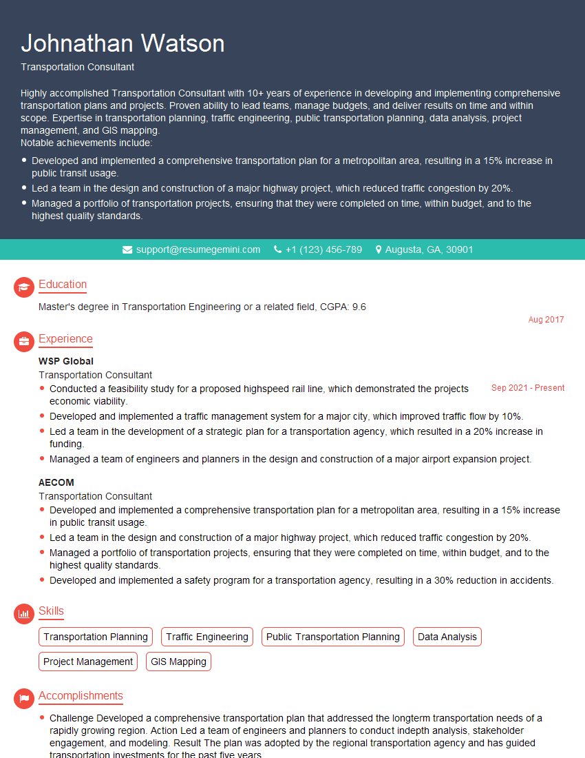
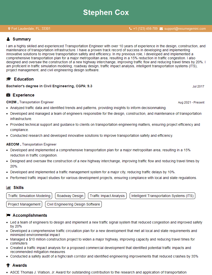
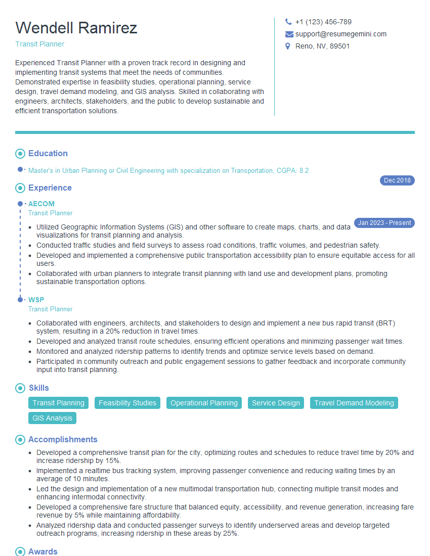
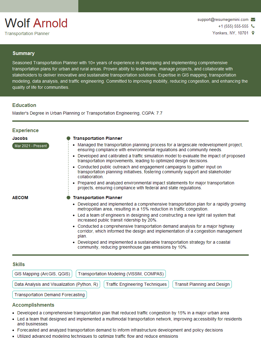
Mastering Transit Planning and Design opens doors to a fulfilling and impactful career, offering opportunities for innovation and positive societal contribution. A strong resume is crucial for showcasing your skills and experience to potential employers. Creating an ATS-friendly resume is essential for maximizing your job prospects, ensuring your application isn’t overlooked by Applicant Tracking Systems. To build a truly impactful and professional resume, we encourage you to utilize ResumeGemini. ResumeGemini offers a streamlined and effective process to create a compelling document, and we have provided examples of resumes specifically tailored to the Transit Planning and Design field to help guide you.
Explore more articles
Users Rating of Our Blogs
Share Your Experience
We value your feedback! Please rate our content and share your thoughts (optional).
What Readers Say About Our Blog
To the interviewgemini.com Webmaster.
Very helpful and content specific questions to help prepare me for my interview!
Thank you
To the interviewgemini.com Webmaster.
This was kind of a unique content I found around the specialized skills. Very helpful questions and good detailed answers.
Very Helpful blog, thank you Interviewgemini team.