Cracking a skill-specific interview, like one for Waterway Transportation Planning, requires understanding the nuances of the role. In this blog, we present the questions you’re most likely to encounter, along with insights into how to answer them effectively. Let’s ensure you’re ready to make a strong impression.
Questions Asked in Waterway Transportation Planning Interview
Q 1. Explain the key differences between inland waterway and coastal waterway transportation.
The key difference between inland waterway and coastal waterway transportation lies primarily in their location and the types of vessels they accommodate. Inland waterways are rivers, canals, and lakes located within a country’s interior, generally sheltered from the open ocean’s unpredictable conditions. Coastal waterways, on the other hand, are located along a country’s coastline, exposed to ocean currents, tides, and weather patterns. This exposure necessitates the use of vessels designed to withstand more challenging conditions.
Inland waterways typically support smaller vessels like barges and pushboats, focusing on shorter distances and often carrying bulk goods like agricultural products or construction materials. Coastal waterways, conversely, can accommodate larger vessels, including ocean-going ships and tankers, facilitating both domestic and international trade over longer distances and carrying a wider variety of goods.
Think of it like this: inland waterways are like a quiet, protected river system ideal for smaller, slower transport; coastal waterways are the ocean highway, accommodating larger, faster vessels for longer journeys.
Q 2. Describe the various modes of waterway transportation and their respective advantages and disadvantages.
Waterway transportation encompasses several modes, each with its own strengths and weaknesses:
- Barges: These flat-bottomed vessels are highly efficient for moving large volumes of bulk goods over inland waterways. Advantages: High capacity, low operating costs per unit transported. Disadvantages: Slow speed, limited flexibility in route choice, susceptibility to low water levels.
- Pushboats: These vessels propel multiple barges, increasing efficiency. Advantages: High capacity, fuel-efficient. Disadvantages: Similar limitations to barges in speed and route flexibility.
- Tankers: Specialized vessels for liquid cargo (oil, chemicals). Advantages: Efficient for liquid transport. Disadvantages: High risk of environmental damage in case of accidents, specific infrastructure requirements.
- Container ships: Larger vessels capable of carrying standardized containers, used in coastal and sometimes inland waterways with suitable depths. Advantages: Versatile cargo handling, suitable for diverse goods. Disadvantages: Higher capital costs, potential for port congestion.
The choice of mode depends on the specific cargo, route characteristics, and cost considerations. For instance, transporting grain across a river system might be best suited to barges, while global oil transport requires tankers.
Q 3. How do you assess the capacity of a waterway transportation system?
Assessing waterway transportation system capacity requires a multifaceted approach, considering several factors:
- Channel Depth and Width: The physical dimensions of the waterway directly limit the size and draft (depth below the waterline) of vessels that can navigate it. This influences the carrying capacity of individual vessels and the number of vessels that can pass simultaneously.
- Water Levels: Fluctuations in water levels due to rainfall, seasonality, or dam operations can significantly impact navigable depth and hence capacity. Low water levels can severely restrict vessel size and traffic.
- Lock and Dam Capacity: In waterways with locks and dams, the capacity of these structures to handle vessel traffic becomes a major bottleneck. The number of locks, their lock chamber dimensions, and their operating efficiency all influence overall system capacity.
- Port and Terminal Capacity: The ability of ports and terminals to handle vessel traffic, including loading, unloading, and storage, is critical. Limited berthing space, inadequate cargo handling equipment, or congestion can reduce overall system efficiency.
- Traffic Management Strategies: Implementing effective traffic management systems, such as scheduling and routing algorithms, can improve capacity utilization and reduce congestion.
A comprehensive capacity assessment involves data collection, hydrological modeling, and simulation to project capacity under various operating conditions. This information is crucial for investment decisions, infrastructure planning, and effective traffic management.
Q 4. What are the common challenges faced in waterway transportation planning?
Waterway transportation planning faces numerous challenges:
- Infrastructure Limitations: Aging infrastructure, inadequate channel depths, and limited lock capacity constrain traffic flow and efficiency. Maintaining and upgrading these systems is capital-intensive.
- Environmental Concerns: Impacts on water quality, aquatic habitats, and riparian ecosystems must be carefully considered. Balancing economic development with environmental protection is a major challenge.
- Safety and Security: Preventing accidents, ensuring navigation safety, and mitigating security threats (e.g., piracy, terrorism) are essential. Implementing effective safety regulations and security protocols is vital.
- Sedimentation: Buildup of sediment can reduce channel depths and necessitate costly dredging operations. Managing sedimentation requires ongoing maintenance and strategic planning.
- Economic Viability: Ensuring the economic viability of waterway transportation projects, particularly in competition with other modes of transport, requires careful cost-benefit analysis and strategic planning.
- Stakeholder Coordination: Successful waterway planning necessitates effective coordination among various stakeholders, including government agencies, private sector operators, and local communities. Addressing diverse interests and concerns is crucial.
Addressing these challenges requires a holistic approach that integrates engineering, environmental science, economics, and social considerations.
Q 5. Explain the role of GIS in waterway transportation planning.
Geographic Information Systems (GIS) play a vital role in waterway transportation planning by providing a powerful platform for visualizing, analyzing, and managing spatial data. It integrates various datasets relevant to waterway planning, enabling informed decision-making.
- Data Integration: GIS allows integration of diverse datasets such as bathymetry (underwater topography), hydrological data, land use information, infrastructure details (locks, dams, ports), and environmental data.
- Spatial Analysis: GIS enables analysis of spatial relationships, such as identifying optimal routes, assessing connectivity, and quantifying the impact of infrastructure development.
- Visualization and Mapping: GIS produces maps and visualizations that clearly communicate complex information to stakeholders, facilitating collaboration and informed decision-making. This can help visualize potential environmental impacts, for example.
- Modeling and Simulation: GIS can be used with other software to perform hydrological and traffic simulations, allowing planners to evaluate different scenarios and optimize system design.
- Decision Support: GIS provides a powerful decision-support tool by integrating diverse spatial information, supporting data-driven planning and investment decisions.
For example, GIS can be used to model the impact of a new dam on water flow and navigation capacity, or to optimize the location of a new port facility to minimize environmental disruption.
Q 6. How do you incorporate environmental considerations into waterway transportation plans?
Incorporating environmental considerations is paramount in waterway transportation planning. It requires a proactive and integrated approach that balances economic benefits with ecological sustainability.
- Environmental Impact Assessment (EIA): A thorough EIA is conducted to identify and evaluate potential environmental impacts, including water quality changes, habitat disruption, and greenhouse gas emissions.
- Mitigation Measures: Based on the EIA findings, appropriate mitigation measures are developed and implemented to minimize negative impacts. These may include measures to reduce noise pollution, protect endangered species, or restore degraded habitats.
- Sustainable Design: The design and construction of waterway infrastructure should prioritize sustainable practices, such as minimizing land disturbance, using environmentally friendly materials, and conserving water resources.
- Monitoring and Evaluation: Ongoing monitoring and evaluation of environmental performance is essential to ensure that mitigation measures are effective and that unexpected impacts are identified and addressed promptly.
- Stakeholder Engagement: Engaging with relevant stakeholders, including environmental groups and local communities, is critical for ensuring environmental concerns are addressed effectively.
For instance, a project might incorporate wetland creation to offset habitat loss caused by channel widening, or use alternative fuels to reduce greenhouse gas emissions.
Q 7. Describe your experience with waterway transportation modeling software.
Throughout my career, I’ve extensively used various waterway transportation modeling software packages. My experience includes using HEC-RAS (Hydrologic Engineering Center’s River Analysis System) for hydraulic modeling and flood forecasting. This software is invaluable for assessing channel capacity, designing river improvements, and predicting flood events. I’ve also worked with MIKE FLOOD and other hydrodynamic modeling packages to simulate complex water flow patterns and assess the impacts of different development scenarios on waterway systems. In addition, I am proficient in using GIS software such as ArcGIS to integrate spatial data with these hydrological models for comprehensive analysis. I’ve applied these tools to numerous projects, including channel improvement studies, dam safety evaluations, and flood risk management plans.
Furthermore, I have experience with traffic simulation software specifically designed for inland and coastal waterways. These tools allow for the assessment of congestion, optimization of vessel movements, and evaluation of different traffic management strategies. This expertise helps me predict potential bottlenecks and improve the efficiency of the entire waterway system.
Q 8. What are the key performance indicators (KPIs) used to measure the efficiency of a waterway transportation system?
Measuring the efficiency of a waterway transportation system relies on several Key Performance Indicators (KPIs). These KPIs can be broadly categorized into operational efficiency, economic efficiency, and environmental sustainability.
- Operational Efficiency: This focuses on the smooth and timely movement of goods. KPIs include:
- Transit Time: The average time it takes for a vessel to travel between two points. Reducing transit time improves efficiency and lowers transportation costs.
- Vessel Utilization Rate: The percentage of time a vessel is actively carrying cargo. Higher utilization means better asset utilization and profitability.
- Cargo Handling Time: Time spent loading and unloading cargo at ports. Efficient port operations are crucial for overall system efficiency.
- Number of Delays: Tracking delays due to infrastructure issues, weather, or other factors helps identify bottlenecks and areas for improvement.
- Economic Efficiency: This assesses the cost-effectiveness of the system.
- Transportation Cost per Ton-Kilometer: This metric measures the cost of moving one ton of cargo over one kilometer. Lower costs indicate greater economic efficiency.
- Return on Investment (ROI) for Infrastructure Projects: This helps determine if investments in new infrastructure are worthwhile.
- Environmental Sustainability: This looks at the environmental impact of waterway transport.
- Greenhouse Gas Emissions per Ton-Kilometer: Waterways generally have lower carbon emissions than road or rail, and this KPI helps track and improve this advantage.
- Water Quality Index: Monitoring water quality helps ensure the waterway’s long-term health and suitability for transportation.
For example, a project might aim to reduce transit time by 15% through dredging and navigational improvements, leading to a measurable improvement in operational efficiency and lower transportation costs.
Q 9. How do you conduct a waterway transportation demand forecast?
Waterway transportation demand forecasting is a crucial step in planning. It involves predicting future freight volumes on waterways based on various factors. A comprehensive approach usually includes these steps:
- Data Collection and Analysis: Gathering historical data on cargo volumes, commodity types, and origin-destination patterns is crucial. This includes data from ports, shipping companies, and government agencies.
- Economic Forecasting: Understanding the economic growth outlook is important, as economic activity strongly influences freight demand. Macroeconomic indicators like GDP growth, industrial production, and consumer spending are key.
- Market Analysis: Analyzing specific industry trends, including manufacturing, agriculture, and energy, provides insight into the demand for specific commodities being transported via waterways.
- Infrastructure Assessment: The existing capacity and planned developments of the waterway infrastructure directly influence the potential demand. Bottlenecks or capacity constraints need to be accounted for.
- Modeling and Forecasting: Using quantitative models, such as econometric models or time series analysis, to project future demand based on the collected data and analysis. These models can incorporate various factors and simulate different scenarios.
- Sensitivity Analysis: Testing the model’s robustness by varying input parameters allows assessing the impact of uncertainties and assumptions on the forecast results.
For instance, if we anticipate a significant increase in agricultural exports, our forecast will reflect a higher demand for barge transport on rivers connecting agricultural regions to export ports.
Q 10. Explain the concept of waterway network optimization.
Waterway network optimization aims to improve the efficiency and effectiveness of the waterway transportation system by strategically managing its resources. This involves finding the best possible routes, schedules, and vessel assignments to minimize costs, transit times, and environmental impact. Think of it as finding the most efficient flow of goods through the entire waterway network.
Optimization techniques often involve sophisticated mathematical models and algorithms. These models consider various factors, including:
- Network topology: The layout of waterways, locks, and ports.
- Vessel characteristics: Capacity, speed, and draft of different vessels.
- Cargo characteristics: Type, volume, and required handling.
- Demand patterns: Origin-destination pairs and volumes.
- Operational constraints: Lock capacity, navigation restrictions, and safety regulations.
Optimization can lead to better resource allocation, reduced congestion, and improved overall system performance. Software tools and techniques like linear programming, integer programming, and simulation are commonly used to achieve this. For example, optimizing vessel scheduling can reduce waiting times at locks, leading to faster transit times and lower fuel consumption.
Q 11. Describe your experience with developing waterway transportation infrastructure projects.
I’ve been involved in several waterway infrastructure projects, ranging from feasibility studies to detailed design and construction oversight. One notable project involved the expansion of a major inland port. This included:
- Feasibility Study: We assessed the economic viability, environmental impacts, and engineering challenges of expanding the port’s capacity. This involved extensive data analysis, stakeholder consultations, and environmental impact assessments.
- Detailed Design: My team developed detailed engineering plans for new berths, dredging, and improved navigation channels. We utilized advanced modeling software to ensure optimal design for water flow and vessel maneuvering.
- Construction Management: We oversaw the construction process, ensuring adherence to safety regulations, environmental standards, and the project schedule. This involved regular site inspections, contractor management, and cost control measures.
Another project focused on improving navigation on a river section by implementing a new lock and dam system. This project required extensive hydrological studies, environmental impact assessments, and coordination with multiple stakeholders, including landowners, environmental agencies, and navigation authorities. Successful completion of these projects demonstrates my expertise in planning, design, and construction management of complex waterway infrastructure projects. I am proficient in using various software tools for hydraulic modeling, structural analysis, and project management.
Q 12. How do you evaluate the economic impact of waterway transportation projects?
Evaluating the economic impact of waterway transportation projects requires a multi-faceted approach. We need to consider both direct and indirect impacts.
- Direct Impacts: These are the immediate effects, such as reduced transportation costs for businesses, increased port revenues, and job creation during construction. We typically use cost-benefit analysis to quantify these impacts, comparing the project’s costs with its economic benefits over its lifespan.
- Indirect Impacts: These are the wider ripple effects, such as increased economic activity in surrounding regions, improved regional competitiveness, and positive externalities like reduced road congestion. We employ economic modeling techniques, including input-output analysis and regional economic models, to assess these impacts.
Furthermore, we consider factors such as:
- Time horizons: Economic impacts are often assessed over different time periods (short-term, medium-term, long-term).
- Discount rates: Future benefits are discounted to reflect their present value.
- Sensitivity analysis: Testing the robustness of the analysis by varying key assumptions.
For example, a new waterway might unlock access to previously isolated markets, leading to significant economic growth in the region, even though the direct cost savings may seem modest at first glance.
Q 13. How do you handle conflicting stakeholder interests in waterway transportation planning?
Handling conflicting stakeholder interests is an integral part of waterway transportation planning. Stakeholders often have different priorities and perspectives. A structured approach is essential:
- Stakeholder Identification and Mapping: First, identify all relevant stakeholders, including shippers, port authorities, environmental groups, local communities, and government agencies. Map their interests and potential points of conflict.
- Communication and Engagement: Establish clear and open communication channels. Organize workshops, public forums, and individual meetings to understand different perspectives and address concerns.
- Conflict Resolution Techniques: Employ various conflict resolution techniques, such as negotiation, mediation, and arbitration, to find mutually acceptable solutions. Compromise and collaboration are key.
- Multi-Criteria Decision Analysis (MCDA): Use MCDA to evaluate different project options considering various stakeholder preferences and environmental impacts. This allows a systematic and transparent decision-making process.
- Documentation and Transparency: Document all stakeholder engagement activities and decisions to ensure accountability and transparency.
For example, a project might involve balancing the need for economic development with environmental protection. Through careful stakeholder engagement and MCDA, a solution might be found that minimizes environmental harm while still achieving the project’s economic goals.
Q 14. What are the regulatory frameworks governing waterway transportation in your region?
(Note: This answer will vary depending on the specific region. The following is a general example and should be adapted to a particular region’s regulations.)
Waterway transportation is typically governed by a complex web of regulations. In many jurisdictions, these regulations address:
- Navigation Safety: Rules governing vessel operations, navigation aids, and safety equipment. These are often based on international conventions like the SOLAS (Safety of Life at Sea) Convention.
- Environmental Protection: Regulations on water pollution, discharge permits, and environmental impact assessments. These often aim to minimize the environmental footprint of waterway activities.
- Infrastructure Management: Rules concerning the construction, maintenance, and operation of waterway infrastructure, such as locks, dams, and channels. This often includes regulations on dredging and maintenance of navigable depths.
- Commercial Activities: Regulations on cargo handling, port operations, and shipping licenses. This might include rules on tariffs and fees.
- Liability and Insurance: Rules defining liability in case of accidents or environmental damage. This often mandates insurance coverage for waterway operators.
Enforcement of these regulations often involves various agencies, including the coast guard, environmental agencies, and port authorities. Understanding and complying with these regulations are critical for safe and sustainable waterway transportation operations.
Q 15. Explain your understanding of waterway safety regulations.
Waterway safety regulations are a critical aspect of waterway transportation planning, aiming to minimize accidents and protect the environment. These regulations cover a wide range of areas, ensuring safe navigation and responsible operation of vessels.
- Vessel regulations: These encompass rules on vessel construction, maintenance, equipment (like navigation lights and radios), and crew qualifications. For example, a tugboat operating in a busy port will have stricter safety standards than a small pleasure craft on a lake.
- Navigation rules: International and national regulations dictate rules of the road for vessels, including right-of-way protocols, speed limits in certain areas (like near bridges or in congested waterways), and the use of signaling devices. Think of these as traffic laws for boats.
- Environmental regulations: Strict rules exist to prevent pollution from vessels, including discharge of oil, sewage, and other harmful substances. These regulations often involve specific zones where stricter rules apply, like environmentally sensitive areas.
- Cargo regulations: Regulations govern the safe handling, storage, and transportation of hazardous materials on waterways, to prevent spills or accidents. This includes documentation, packaging standards, and emergency response plans.
- Safety management systems (SMS): Many jurisdictions require vessels and waterway operators to implement SMS, a systematic approach to managing safety risks, including regular inspections, training, and emergency preparedness.
Non-compliance with these regulations can result in significant penalties, including fines, detention of vessels, and even criminal charges. Effective enforcement is vital to ensuring waterway safety.
Career Expert Tips:
- Ace those interviews! Prepare effectively by reviewing the Top 50 Most Common Interview Questions on ResumeGemini.
- Navigate your job search with confidence! Explore a wide range of Career Tips on ResumeGemini. Learn about common challenges and recommendations to overcome them.
- Craft the perfect resume! Master the Art of Resume Writing with ResumeGemini’s guide. Showcase your unique qualifications and achievements effectively.
- Don’t miss out on holiday savings! Build your dream resume with ResumeGemini’s ATS optimized templates.
Q 16. Describe your experience with waterway transportation risk assessment.
My experience in waterway transportation risk assessment involves a multi-faceted approach, combining quantitative and qualitative methods to identify, analyze, and mitigate potential hazards.
I’ve been involved in numerous projects where we used techniques like:
- Hazard identification: This involves brainstorming sessions, reviewing historical data on accidents, and conducting site visits to pinpoint potential hazards like shallow water, blind turns, or congested areas.
- Risk assessment matrix: This quantitative approach involves assigning probabilities and severities to identified hazards, allowing for prioritization based on the level of risk. For example, a high-probability, high-severity hazard (like a poorly maintained bridge) would receive immediate attention.
- Failure Modes and Effects Analysis (FMEA): This systematic approach helps determine potential failures in the system and their impact on safety. This is particularly useful in assessing the risks associated with complex infrastructure projects.
- Scenario planning: We develop scenarios representing various combinations of hazards and their potential consequences to test the robustness of safety measures.
The output of these assessments informs the development of mitigation strategies, such as implementing new safety regulations, improving navigational aids, enhancing vessel maintenance protocols, and improving emergency response plans. For example, following a risk assessment showing a high likelihood of collisions in a particular area, we might recommend implementing a traffic separation scheme or improving signage.
Q 17. How do you incorporate sustainability considerations into waterway transportation planning?
Sustainability is paramount in modern waterway transportation planning. It’s about balancing economic efficiency with environmental protection and social equity.
- Reduced emissions: We can promote the use of alternative fuels (like biofuels or hydrogen) and more fuel-efficient vessels. Investing in electric or hybrid propulsion systems for smaller vessels is also a key area.
- Ecosystem protection: Minimizing dredging impacts, implementing careful management of ballast water to prevent invasive species, and establishing protected areas for sensitive habitats are crucial. For example, choosing dredging methods that minimize sediment disturbance and turbidity is crucial for aquatic life.
- Improved water quality: Stricter regulations on wastewater discharge from vessels and improved infrastructure for waste management are vital to maintain water quality.
- Community engagement: Incorporating the views of local communities affected by waterway projects is essential. For instance, addressing concerns about noise pollution or visual impacts from new infrastructure.
- Climate change resilience: Designing infrastructure and operations that are resilient to the effects of climate change, such as sea-level rise and increased storm intensity, is vital for long-term sustainability.
By incorporating these considerations, we create waterway systems that are economically viable, environmentally sound, and socially acceptable for generations to come.
Q 18. Explain your understanding of different waterway traffic management strategies.
Waterway traffic management strategies aim to optimize the flow of vessels, enhance safety, and minimize delays. These strategies can range from simple measures to highly sophisticated systems.
- Traffic separation schemes (TSS): These designated lanes, similar to highways, separate traffic flows in busy waterways, reducing the risk of collisions. Think of them as the ‘freeway system’ for waterways.
- Vessel traffic services (VTS): VTS uses radar, AIS (Automatic Identification System), and other technologies to monitor vessel movements and provide navigational assistance. It’s like air traffic control for ships, providing real-time monitoring and coordination.
- Speed restrictions: Implementing speed limits in certain areas, particularly near bridges, bends, or congested areas, enhances safety and reduces the risk of accidents.
- Navigation aids: Buoys, lights, and other aids provide clear guidance to vessels, especially in challenging conditions or poorly-marked areas.
- Lock and dam management: Efficient management of locks and dams is crucial for optimizing the flow of traffic, particularly on rivers with significant elevation changes.
- Prioritization systems: In certain situations, vessels may be prioritized based on their size, type, or urgency, such as during emergency situations.
The choice of strategy depends on several factors, including the characteristics of the waterway, the volume of traffic, and the level of risk.
Q 19. How do you address the challenges of waterway congestion?
Waterway congestion is a significant challenge that can lead to delays, increased costs, and safety risks. Addressing this requires a multi-pronged approach.
- Improved infrastructure: Expanding capacity through widening channels, constructing new locks and dams, or building bypass channels can alleviate congestion in critical areas. This might involve long-term strategic planning and significant investment.
- Efficient traffic management: Implementing and optimizing traffic management strategies, such as TSS and VTS, can significantly improve traffic flow. Real-time data and predictive modeling are increasingly used to optimize these systems.
- Technology adoption: Encouraging the use of technologies like AIS and electronic charting can improve vessel navigation and reduce the risk of collisions, thereby improving overall efficiency.
- Demand management: Measures to manage demand, such as peak-hour pricing or incentives for off-peak shipping, can reduce congestion during peak periods.
- Intermodal transport: Encouraging the use of alternative transportation modes, such as rail or road transport for certain types of cargo, can reduce the load on waterways.
A holistic approach that considers all these strategies, tailored to the specific characteristics of the congested waterway, is essential for effective congestion management.
Q 20. Describe your experience with developing waterway transportation master plans.
Developing waterway transportation master plans requires a comprehensive and iterative process that considers various factors.
My experience includes:
- Stakeholder engagement: A key initial step involves engaging with stakeholders including government agencies, port authorities, shipping companies, environmental groups, and local communities to understand their needs and priorities. This often involves public consultations and workshops.
- Demand forecasting: Forecasting future demand for waterway transportation is crucial for capacity planning. This often involves sophisticated modeling techniques considering economic growth, trade patterns, and other relevant factors.
- Infrastructure assessment: A thorough assessment of the existing waterway infrastructure, including its condition, capacity, and limitations, is necessary. This might involve detailed surveys and inspections.
- Environmental impact assessment: An EIA is crucial to assess the potential environmental impacts of proposed projects and to identify mitigation measures. This is a regulatory requirement in many jurisdictions.
- Financial planning: Developing a realistic financial plan, including funding sources and cost-benefit analysis, is crucial for project viability. This often requires careful consideration of economic factors, including inflation and interest rates.
- Implementation plan: A detailed implementation plan outlines project timelines, responsibilities, and monitoring mechanisms to ensure the timely and efficient implementation of the master plan. This includes considerations such as procurement, construction, and commissioning.
The final master plan serves as a roadmap for future development, guiding investment decisions and ensuring the sustainable growth of waterway transportation.
Q 21. Explain your understanding of waterway dredging and its impact on transportation.
Waterway dredging is the removal of sediment from the bottom of waterways to maintain or increase navigation depth. It plays a crucial role in supporting waterway transportation.
Impact on Transportation:
- Increased navigation depth: Dredging allows larger vessels to navigate waterways, increasing cargo capacity and reducing transportation costs. Deeper channels can support larger ships, which can carry significantly more goods.
- Improved safety: Dredging removes hazards like shoals and sandbars, enhancing navigation safety and reducing the risk of groundings. This is particularly important in areas with variable water levels or high sediment loads.
- Enhanced efficiency: By maintaining adequate depths, dredging reduces delays and improves the overall efficiency of waterway transportation, allowing for faster transit times.
Environmental Impacts:
- Habitat disruption: Dredging can damage or destroy aquatic habitats, affecting benthic organisms and fish populations. Minimizing environmental damage is a key consideration, often involving mitigation plans and environmental monitoring.
- Water quality impacts: Dredging can increase turbidity (cloudiness) in the water, reducing light penetration and affecting aquatic life. Techniques like controlled dredging and sediment management can reduce this impact.
- Sediment disposal: The disposal of dredged sediment needs careful consideration to avoid environmental harm. Finding suitable disposal sites and using appropriate disposal methods are key.
Sustainable dredging practices, including the use of environmentally friendly techniques, careful sediment management, and rigorous environmental monitoring, are crucial to minimize the environmental impact while ensuring the benefits of increased navigation capacity.
Q 22. How do you assess the resilience of a waterway transportation system to natural disasters?
Assessing the resilience of a waterway transportation system to natural disasters requires a multi-faceted approach. It’s not just about the immediate impact, but also the system’s ability to recover and adapt. Think of it like a human body’s immune system – a resilient system can withstand shocks and bounce back quickly.
- Hazard Identification and Risk Assessment: This involves identifying potential hazards such as floods, hurricanes, earthquakes, and droughts, and then assessing their likelihood and potential impact on infrastructure (locks, dams, ports), vessels, and operations. We use tools like Geographic Information Systems (GIS) to map vulnerable areas and predict the potential extent of damage.
- Infrastructure Design and Construction: Resilient infrastructure is designed to withstand extreme events. This includes using stronger materials, elevating structures, incorporating flood defenses, and designing for redundancy (e.g., multiple pathways for navigation). For instance, designing a port with seawalls capable of withstanding high storm surges is crucial.
- Operational Preparedness and Response: Having clear emergency plans, trained personnel, and well-maintained equipment are essential. This could include procedures for evacuating vessels, closing locks, or diverting traffic. Regular drills and simulations are crucial to test and refine these plans.
- Post-Disaster Recovery Planning: A critical aspect is planning for the recovery process. This involves identifying resources for repairs, establishing communication channels, and outlining procedures for restoring operations. Having pre-identified contractors and stockpiles of essential materials significantly speeds up the recovery.
- Monitoring and Data Collection: Continuous monitoring of water levels, weather patterns, and infrastructure conditions provides valuable insights to anticipate and respond to potential threats. Real-time data allows for proactive interventions.
For example, in my work on a river port modernization project, we incorporated higher elevation for critical infrastructure, implemented a robust early warning system, and established a detailed emergency response plan, significantly enhancing its resilience to flooding.
Q 23. Describe your experience with using data analytics to improve waterway transportation efficiency.
Data analytics is revolutionizing waterway transportation efficiency. I’ve extensively used it to optimize vessel scheduling, predict maintenance needs, and improve navigation safety.
- Predictive Maintenance: By analyzing sensor data from vessels and infrastructure, we can predict potential equipment failures before they occur. This reduces downtime, minimizes repair costs, and improves overall system reliability. We use machine learning algorithms to identify patterns and anomalies, predicting failure probabilities with a high degree of accuracy.
- Optimized Vessel Routing and Scheduling: Analyzing historical traffic data, weather forecasts, and real-time vessel positions allows us to develop more efficient routes and schedules. This minimizes travel time, reduces fuel consumption, and improves overall system capacity.
Example: A simple optimization algorithm could use Dijkstra's algorithm to find the shortest path between ports, considering water depth and current speed. - Traffic Flow Management: Analyzing real-time traffic data enables dynamic management of vessel traffic, minimizing congestion and collisions. Intelligent traffic systems with sensors and communication networks play a key role here.
- Demand Forecasting: Analyzing cargo data, economic indicators, and other relevant information helps to forecast future demand for waterway transport. This aids in infrastructure planning and resource allocation.
In one project, we implemented a real-time traffic management system that reduced vessel delays by 15% and fuel consumption by 8% simply by optimizing routes based on real-time data and predictive models.
Q 24. How do you integrate waterway transportation with other modes of transportation?
Integrating waterway transportation with other modes is crucial for creating efficient and interconnected multimodal transport networks. This is often referred to as intermodalism.
- Port Infrastructure: Well-designed ports act as key hubs, facilitating seamless transfers between water, rail, and road transport. This includes providing facilities for container handling, rail connections, and truck access.
- Logistics and Information Systems: Effective integration relies on shared information systems that track cargo movement across different modes. Real-time tracking and visibility enhance efficiency and coordination.
- Standardization: Consistent container sizes and handling procedures streamline transfer between modes, reducing delays and costs.
- Policy and Regulatory Frameworks: Government policies and regulations play a vital role in encouraging intermodal transport by providing incentives, streamlining approvals, and ensuring safety standards across modes.
For example, in a recent project, we worked on optimizing the transfer of containers from ships to rail at a major port. By improving the rail access and implementing a digital tracking system, we significantly reduced transfer times and improved overall efficiency of the multimodal transport chain.
Q 25. Explain your experience with cost-benefit analysis in waterway transportation projects.
Cost-benefit analysis (CBA) is a fundamental tool in evaluating waterway transportation projects. It helps determine whether the project’s benefits outweigh its costs, considering both tangible and intangible aspects.
- Identifying Costs: This includes construction costs, maintenance costs, operational costs, and environmental mitigation costs. Detailed cost estimates, often using specialized software, are essential.
- Identifying Benefits: Benefits can be economic (reduced transportation costs, increased trade), social (improved accessibility, job creation), and environmental (reduced greenhouse gas emissions). Quantifying these benefits can be challenging, often requiring sophisticated economic modeling.
- Discounting and Time Value of Money: Future benefits are discounted to their present value to account for the time value of money. A suitable discount rate reflecting the project risk is crucial.
- Sensitivity Analysis: This involves assessing how changes in key parameters (e.g., construction costs, traffic volumes) would affect the overall outcome of the CBA. This helps understand the robustness of the analysis.
- Risk Assessment: Incorporating potential risks and uncertainties into the CBA through techniques like Monte Carlo simulation is critical.
In my experience, a thorough CBA needs to be transparent and involve stakeholder consultation. It’s not just about numbers but about understanding and balancing competing interests. In one case, we had to adjust the project scope after a sensitivity analysis revealed that potential cost overruns could significantly impact its overall viability.
Q 26. How do you ensure the equitable distribution of benefits from waterway transportation projects?
Ensuring equitable distribution of benefits from waterway transportation projects is crucial for social justice and project acceptance. It requires proactive measures from the planning stages.
- Stakeholder Engagement: Early and continuous engagement with affected communities is paramount. This ensures their voices are heard, concerns are addressed, and benefits are shared equitably. Public forums, surveys, and workshops are effective tools.
- Impact Assessment: Conducting thorough social and environmental impact assessments helps identify potential negative impacts on specific communities and develop mitigation strategies.
- Targeted Investments: Projects can include specific investments to benefit disadvantaged communities. This could include job training programs, infrastructure improvements in underserved areas, or support for local businesses.
- Mitigation Measures: If negative impacts are unavoidable, mitigation measures should be implemented to minimize their effects and compensate affected communities. This might include relocation assistance, environmental restoration, or financial compensation.
- Transparency and Accountability: Transparent processes and clear communication are crucial to build trust and ensure accountability for equitable benefit distribution.
For example, in a canal expansion project, we implemented a community development program focused on training local residents for jobs related to the project. This ensured that the local community benefited directly from the economic opportunities created by the project, contributing to equitable distribution of benefits.
Q 27. Describe your experience with communicating complex technical information to non-technical audiences.
Communicating complex technical information to non-technical audiences is a critical skill. It’s about translating technical jargon into clear, concise, and engaging language that everyone can understand.
- Simplicity and Clarity: Avoid technical jargon or define any necessary terms clearly. Use simple language and avoid overly complex sentence structures.
- Visual Aids: Charts, graphs, maps, and diagrams can significantly improve understanding. A picture is often worth a thousand words.
- Analogies and Metaphors: Relating complex concepts to everyday experiences using relatable analogies can enhance understanding and engagement.
- Active Listening and Feedback: Engage with the audience, encourage questions, and actively listen to their feedback. This helps tailor the communication to their specific needs and understanding.
I’ve often found that using real-world examples and analogies related to everyday experiences makes complex concepts more accessible. For instance, explaining the impact of a dam’s construction on water flow by comparing it to a traffic jam on a highway helps non-technical stakeholders easily grasp the concept.
Key Topics to Learn for Waterway Transportation Planning Interview
- Waterway Infrastructure Assessment: Understanding the condition, capacity, and limitations of existing waterways, including locks, dams, and channels. This includes analyzing data to identify bottlenecks and areas for improvement.
- Hydrological and Hydraulic Modeling: Applying hydrological and hydraulic principles to predict water levels, flow rates, and sediment transport. Practical application involves using software to simulate waterway behavior under various conditions.
- Waterway Navigation and Safety: Analyzing navigational aids, traffic management strategies, and safety regulations to ensure efficient and safe waterway operations. This involves understanding the impact of regulations and their practical implications.
- Environmental Impact Assessment: Evaluating the environmental consequences of waterway projects, including impacts on water quality, aquatic habitats, and endangered species. This includes understanding mitigation strategies and regulatory compliance.
- Project Planning and Management: Understanding the process of planning, designing, and implementing waterway transportation projects, including budgeting, scheduling, and risk management. This includes experience with project lifecycle management methodologies.
- Economic Analysis of Waterway Projects: Assessing the economic viability of waterway projects, including cost-benefit analysis, return on investment, and other economic evaluation techniques. Practical applications include creating and presenting financial models.
- Data Analysis and Visualization: Utilizing various data sources (e.g., GIS, hydrological data) to analyze trends, identify patterns, and visualize results for effective communication and decision-making. This includes proficiency in relevant software.
Next Steps
Mastering Waterway Transportation Planning opens doors to exciting and impactful careers, shaping the future of efficient and sustainable transportation systems. To maximize your job prospects, it’s crucial to create a compelling and ATS-friendly resume that showcases your skills and experience effectively. ResumeGemini is a trusted resource to help you build a professional resume that stands out. They provide examples of resumes tailored specifically to Waterway Transportation Planning, giving you a head start in crafting a winning application. Invest time in building a strong resume; it’s your first impression and a key to unlocking your career potential.
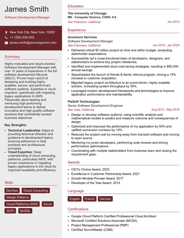
Check Out Resume Samples at ResumeGemini
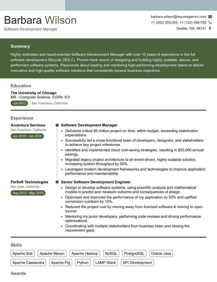
Check Out Resume Samples at ResumeGemini
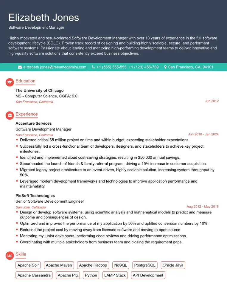
Check Out Resume Samples at ResumeGemini
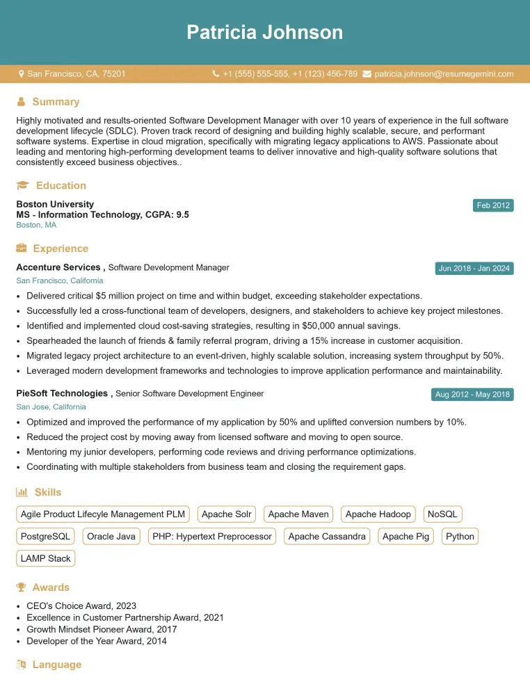
Check Out Resume Samples at ResumeGemini
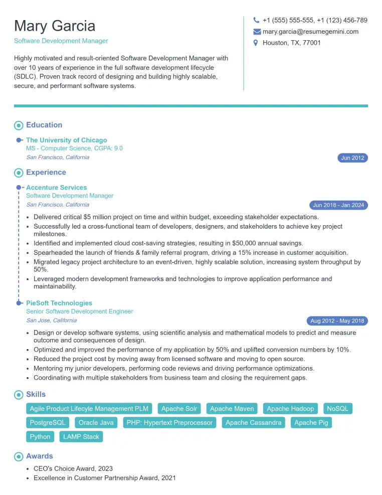
Check Out Resume Samples at ResumeGemini
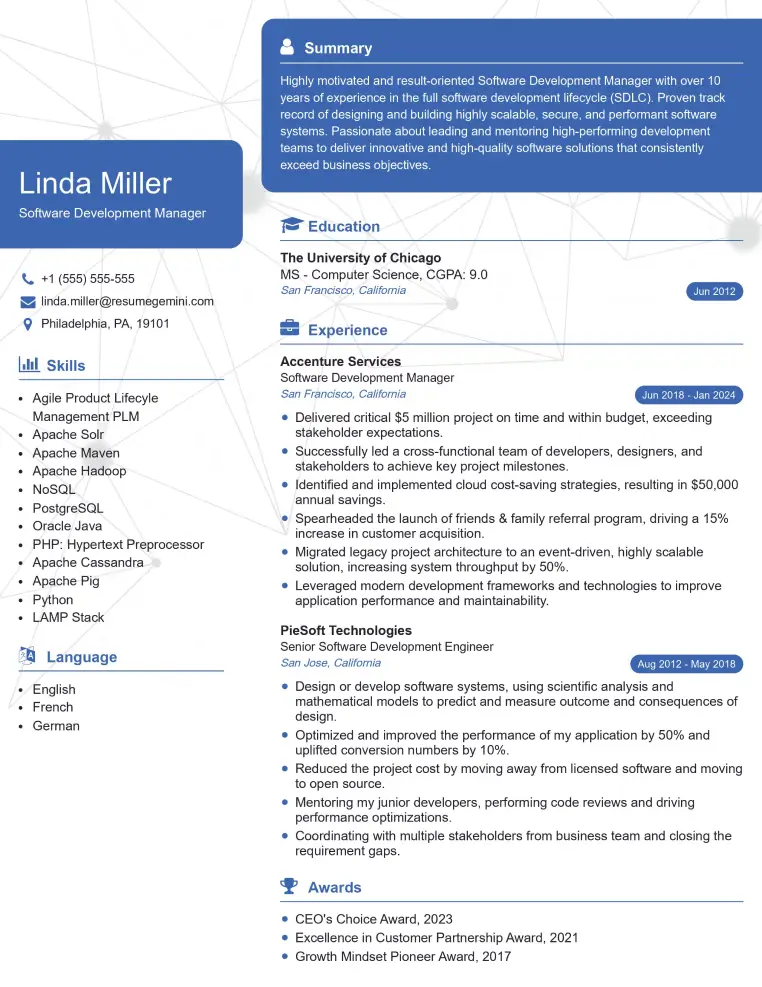
Check Out Resume Samples at ResumeGemini
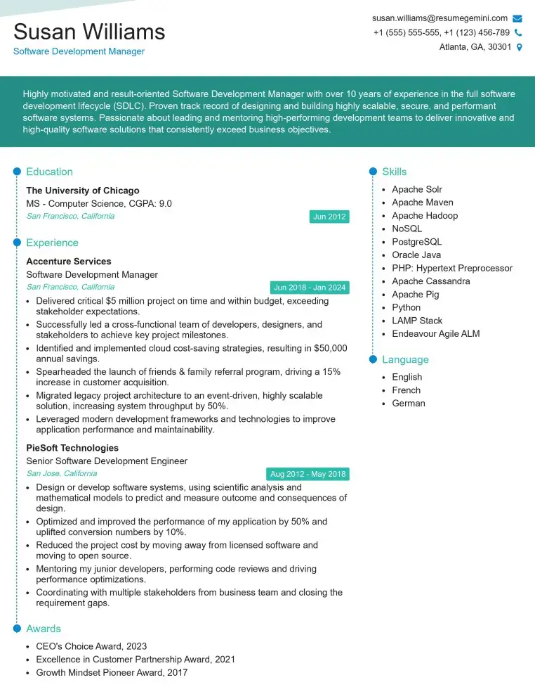
Check Out Resume Samples at ResumeGemini
Explore more articles
Users Rating of Our Blogs
Share Your Experience
We value your feedback! Please rate our content and share your thoughts (optional).
What Readers Say About Our Blog
To the interviewgemini.com Webmaster.
Very helpful and content specific questions to help prepare me for my interview!
Thank you
To the interviewgemini.com Webmaster.
This was kind of a unique content I found around the specialized skills. Very helpful questions and good detailed answers.
Very Helpful blog, thank you Interviewgemini team.