Interviews are more than just a Q&A session—they’re a chance to prove your worth. This blog dives into essential Land Use and Transportation Planning interview questions and expert tips to help you align your answers with what hiring managers are looking for. Start preparing to shine!
Questions Asked in Land Use and Transportation Planning Interview
Q 1. Explain the difference between land use planning and transportation planning.
While land use planning and transportation planning are intrinsically linked, they focus on different aspects of development. Land use planning determines what goes where – residential, commercial, industrial, green spaces, etc. – focusing on zoning, density, and the overall spatial arrangement of activities. Think of it as designing the ‘chessboard’. Transportation planning, on the other hand, focuses on how people and goods move across this ‘chessboard’ – designing the network of roads, public transit, bike lanes, etc., ensuring efficient and safe movement. It’s designing the ‘pieces’ and how they move on the board. Effective planning requires close coordination between the two; land use decisions directly impact transportation needs and vice versa. For example, building a large residential complex in a location with poor transit access will likely increase traffic congestion, necessitating changes to the transportation plan.
Q 2. Describe your experience with transportation demand modeling.
I have extensive experience with transportation demand modeling, using various software packages including TransCAD and Cube. My work has involved developing models for different scales, from small-area traffic studies to regional transportation plans. A recent project involved forecasting travel demand for a new light rail transit line. This involved using a four-step model: trip generation, trip distribution, modal split, and network assignment. We used demographic data, land use information, and socioeconomic factors to estimate trip generation. The trip distribution model allocated trips between different zones, considering factors like distance and travel time. The modal split model determined the proportion of trips made by each mode (car, transit, bike, walk), while the network assignment model simulated traffic flow on the road network, accounting for capacity constraints and route choices. The model output provided valuable insights into the expected impacts of the new transit line, including changes in traffic congestion, transit ridership, and travel times, informing decisions about infrastructure investment and service planning.
Q 3. What are the key principles of sustainable transportation planning?
Sustainable transportation planning prioritizes environmental protection, social equity, and economic efficiency. Key principles include:
- Reducing reliance on private vehicles: Encouraging the use of public transit, cycling, and walking through improved infrastructure and incentives.
- Improving fuel efficiency and reducing emissions: Promoting the adoption of electric vehicles, improving vehicle technology, and reducing vehicle miles traveled.
- Integrating land use and transportation planning: Creating compact, mixed-use developments that reduce the need for long-distance travel.
- Prioritizing active transportation: Investing in pedestrian and cycling infrastructure to provide safe and convenient alternatives to driving.
- Promoting equity and accessibility: Ensuring that transportation systems are affordable and accessible to all members of society, regardless of income or ability.
- Minimizing environmental impacts: Considering the effects of transportation projects on air and water quality, noise pollution, and habitat fragmentation.
For instance, a sustainable transportation plan might involve creating a network of bus rapid transit lines that connect residential areas with employment centers, reducing traffic congestion and greenhouse gas emissions.
Q 4. How do you assess the environmental impact of transportation projects?
Assessing the environmental impact of transportation projects involves a multi-step process. First, we identify potential impacts, such as air and noise pollution, greenhouse gas emissions, water quality degradation, and habitat loss. Then, we quantify these impacts using various tools and models, such as air quality dispersion models, noise prediction models, and life-cycle assessment (LCA) tools. For example, we might use an air quality dispersion model to predict the concentrations of pollutants near a proposed highway. The results inform the development of mitigation measures to reduce negative impacts, such as installing noise barriers, using cleaner fuels, or implementing strategies to minimize habitat disruption during construction. Finally, we evaluate the effectiveness of these mitigation measures through monitoring and modeling to ensure that the project meets environmental standards and regulations.
Q 5. What are the common methods for evaluating transportation project alternatives?
Several methods exist for evaluating transportation project alternatives. Cost-benefit analysis (CBA) is a common approach, comparing the total costs of a project with its total benefits (e.g., reduced travel time, improved safety, economic benefits). Multi-criteria analysis (MCA) considers various factors beyond just cost and benefit, such as environmental impact, social equity, and political feasibility, allowing for a more holistic evaluation. Simulation modeling, such as microscopic or macroscopic traffic simulation, is used to predict the performance of different alternatives under various scenarios. Public involvement processes are crucial in understanding community preferences and concerns, incorporating social and environmental considerations into the decision-making process. Each method offers unique advantages and has its limitations. Therefore, a comprehensive evaluation often combines several methods.
Q 6. Explain your understanding of Level of Service (LOS) in transportation planning.
Level of Service (LOS) is a qualitative measure of the effectiveness of a transportation facility or system in meeting user expectations. It’s often expressed on a scale (e.g., A to F, with A being the best and F the worst), representing operating conditions such as speed, density, and delay. LOS is crucial in transportation planning because it provides a standardized way to assess the performance of different transportation alternatives and identify areas that need improvement. For example, a highway segment with an LOS of F might experience significant congestion, long delays, and low speeds, indicating the need for capacity expansion or traffic management strategies. The specific criteria for determining LOS vary depending on the type of facility (highway, arterial street, etc.) and the mode of transportation (car, bus, bicycle). These are often defined in standards like the Highway Capacity Manual.
Q 7. Describe your experience with GIS software in transportation planning.
GIS software is an indispensable tool in my transportation planning work. I’m proficient in ArcGIS and QGIS, using them for various tasks including:
- Data visualization and analysis: Mapping transportation networks, land use patterns, and demographic data to identify areas of congestion, accessibility issues, and potential development opportunities.
- Network modeling: Building and analyzing transportation networks to simulate traffic flow, assess accessibility, and evaluate the impact of different transportation projects.
- Spatial analysis: Performing spatial analysis tasks such as proximity analysis (identifying areas within a certain distance of a facility), overlay analysis (combining different datasets), and network analysis (finding optimal routes).
- Data management: Managing and organizing large transportation datasets, ensuring data accuracy and consistency.
For instance, in a recent project, we used GIS to map areas with limited public transit access, overlaying this with demographic data to identify underserved populations. This information helped prioritize investment in new bus routes and transit-oriented development projects.
Q 8. How do you incorporate public input into transportation planning projects?
Incorporating public input is crucial for successful transportation planning. It ensures the project aligns with community needs and values, leading to greater acceptance and effectiveness. We employ various methods, starting with early and frequent public engagement throughout the project lifecycle. This often involves:
- Public Forums and Meetings: Hosting open forums and meetings allows direct interaction with the community, gathering feedback on proposed plans and addressing concerns.
- Surveys and Online Engagement: Utilizing online surveys and interactive platforms broadens reach and allows for more convenient participation, particularly for those who cannot attend in-person events. We make sure the surveys are clear, concise and offer a variety of response options.
- Focus Groups and Interviews: Conducting focus groups and individual interviews provides more in-depth qualitative data, allowing us to understand the nuances of community perspectives. This is particularly useful for understanding the needs of specific demographics.
- Community Workshops: Interactive workshops allow for collaborative planning and idea generation. We use visual aids and participatory exercises to engage participants actively in shaping the project.
- Social Media and Public Comment Periods: Utilizing social media and dedicated comment periods on project websites keeps the public informed and provides a channel for ongoing feedback.
For example, during a recent highway widening project, we held several public forums, online surveys, and focus groups with local businesses and residents. The feedback we received led to modifications in the design to minimize disruption and incorporate pedestrian and bicycle improvements.
Q 9. What are the challenges of implementing Transit-Oriented Development (TOD)?
Transit-Oriented Development (TOD) faces several challenges. Successfully implementing TOD requires overcoming obstacles in various sectors, including:
- Funding Constraints: TOD projects often require significant upfront investment in infrastructure (e.g., improved public transit, pedestrian walkways, bike lanes) and may need creative funding solutions beyond traditional government sources.
- Land Acquisition and Assemblage: Assembling the necessary land parcels for development can be complex and time-consuming, often involving multiple landowners with differing interests.
- Zoning and Regulatory Hurdles: Existing zoning regulations may not be conducive to TOD, requiring amendments to permit higher density development and mixed-use zoning.
- Community Resistance: Some communities may resist higher density development due to concerns about traffic, parking, and changes to the character of their neighborhood. Effective community engagement is vital to address these concerns.
- Market Demand: The success of TOD hinges on sufficient market demand for transit-accessible housing and commercial spaces. Understanding market trends and adjusting development plans accordingly is crucial.
- Coordination and Collaboration: Successful TOD requires effective collaboration between various stakeholders, including transit agencies, developers, municipalities, and residents. Poor coordination can delay projects or lead to conflicting objectives.
For instance, a TOD project I was involved in experienced delays due to difficulty in securing funding for the initial transit improvements. The solution involved a public-private partnership which combined government grants with private investment.
Q 10. How do you balance the needs of different stakeholders in land use planning?
Balancing stakeholder needs in land use planning requires a collaborative and transparent approach. It’s like orchestrating a complex symphony where each instrument (stakeholder) plays a crucial role. We use several strategies:
- Stakeholder Identification and Analysis: The first step is to identify all relevant stakeholders (residents, businesses, environmental groups, government agencies, etc.) and analyze their interests and concerns.
- Collaborative Planning Processes: Involving stakeholders early and often through workshops, forums, and working groups allows for open communication and negotiation.
- Negotiation and Conflict Resolution: Mediation and facilitation techniques can help manage conflicts and find mutually acceptable solutions.
- Data-Driven Decision Making: Using data on traffic, demographics, environmental impacts, and economic factors helps inform decisions and justify choices to all stakeholders.
- Transparency and Communication: Regular communication keeps stakeholders informed about project progress and allows for timely feedback. Transparency builds trust and strengthens collaboration.
- Community Benefits Agreements: Formal agreements can be established to ensure that the benefits of a project are shared equitably among various stakeholders.
For example, during a recent neighborhood revitalization project, we established a community benefits agreement that included investments in parks, affordable housing, and job creation initiatives – directly addressing concerns from multiple community groups.
Q 11. Explain your experience with zoning regulations and their impact on transportation.
Zoning regulations significantly impact transportation planning. Zoning dictates land use (residential, commercial, industrial), density, building height, and parking requirements, all of which influence travel patterns and transportation demand.
My experience has shown that restrictive zoning (e.g., low-density residential zoning with mandatory off-street parking) can lead to increased car dependency and traffic congestion. Conversely, more flexible zoning that encourages mixed-use development and transit-oriented design can support alternative transportation modes and reduce reliance on cars.
For example, I worked on a project where we advocated for changing zoning regulations to allow for higher density development near a light rail station. This change enabled the construction of transit-oriented apartments and reduced the need for car ownership among residents, significantly easing traffic congestion in the surrounding area.
Understanding the interaction between zoning and transportation requires a thorough analysis of existing regulations, their impact on transportation demand, and the potential for amendments to promote sustainable transportation choices. This analysis often involves modeling the impact of different zoning scenarios on traffic flow, public transit ridership, and parking demand.
Q 12. Describe your understanding of smart growth principles.
Smart growth principles aim to create more sustainable, livable communities by focusing on compact, mixed-use development, preserving open space, and promoting walkability, bikeability, and public transit. It’s essentially about creating vibrant, efficient communities that minimize sprawl and environmental impact. Key elements include:
- Mixed-Use Development: Combining residential, commercial, and recreational uses in the same area reduces travel distances and encourages walking and biking.
- Transit-Oriented Development (TOD): Concentrating development around transit stations promotes transit ridership and reduces reliance on cars.
- Walkability and Bikeability: Designing walkable and bikeable streetscapes with safe sidewalks, bike lanes, and pedestrian-friendly infrastructure encourages active transportation.
- Preservation of Open Space: Protecting green spaces, parks, and natural areas improves community quality of life and provides environmental benefits.
- Infill Development: Developing underutilized land within existing urban areas prevents sprawl and makes better use of existing infrastructure.
- Community Participation: Involving the community in the planning process is critical for ensuring that developments meet local needs and values.
For example, a smart growth approach might involve revitalizing a town center by creating a pedestrian-friendly plaza, adding mixed-use buildings with residential units above commercial spaces, and improving connections to nearby bus routes – revitalizing the area, reducing sprawl and improving quality of life.
Q 13. What are the key considerations for planning bicycle and pedestrian infrastructure?
Planning bicycle and pedestrian infrastructure requires careful consideration of safety, connectivity, and user experience. Key considerations include:
- Safety: Designing separated bike lanes, protected intersections, and well-lit paths minimizes conflict with motorized vehicles and enhances safety for all users.
- Connectivity: Creating a network of connected paths and trails ensures that people can easily travel by bike or foot to their destinations without having to navigate dangerous streets or obstacles.
- Accessibility: Designing infrastructure that is accessible to people of all ages and abilities, including those with disabilities, ensures inclusivity.
- Comfort and Aesthetics: Providing comfortable and aesthetically pleasing spaces with shade, rest areas, and attractive landscaping encourages use.
- Demand Forecasting: Analyzing current and projected demand for bicycle and pedestrian facilities helps ensure that infrastructure is adequately sized.
- Integration with Other Modes of Transport: Designing seamless connections between bike/pedestrian infrastructure and public transit promotes multi-modal travel.
For instance, in a recent project, we designed a separated bike lane along a busy street, incorporating protected intersections and traffic calming measures to prioritize pedestrian and cyclist safety and enhance the overall user experience.
Q 14. How do you assess the economic impact of transportation projects?
Assessing the economic impact of transportation projects involves a comprehensive analysis considering various factors. It’s not just about the direct costs of construction but also the wide-ranging indirect benefits and costs to the community.
We typically employ a variety of techniques including:
- Cost-Benefit Analysis (CBA): This is a common method used to compare the costs and benefits of a project, expressed in monetary terms. Benefits can include reduced travel times, improved accessibility, increased property values, and job creation. Costs include construction costs, maintenance costs, and potential environmental impacts.
- Input-Output Modeling: This technique models the ripple effects of a transportation project on the economy, considering its impact on various sectors and industries.
- Economic Impact Studies: These studies analyze the project’s impact on employment, income, and economic output at the local, regional, or national level.
- Property Value Impact Assessment: This assesses the impact of the project on property values in the surrounding area. Improved transportation access typically increases property values.
For example, in a recent highway improvement project, we conducted a CBA that demonstrated significant reductions in congestion and travel times, leading to substantial savings in time and fuel costs. The study also revealed increases in property values and business activity in the surrounding areas, reinforcing the economic viability of the project.
It is important to acknowledge that economic assessments can be complex and require careful consideration of various factors and assumptions. A thorough and transparent assessment provides a solid foundation for informed decision making.
Q 15. Explain your understanding of Complete Streets design.
Complete Streets design is a planning approach that prioritizes the safety and accessibility of all users of a street, not just cars. It’s about creating streets that are welcoming and usable for pedestrians, cyclists, transit riders, and drivers of all abilities. Instead of a street designed solely for efficient car movement, a Complete Street incorporates features that improve safety, convenience, and comfort for everyone.
For example, a Complete Street might include:
- Wider sidewalks and pedestrian crossings
- Dedicated bike lanes or paths
- Improved public transit access, such as bus stops with shelters and better lighting
- Street trees and landscaping to improve aesthetics and create a more pleasant environment
- Reduced vehicle speeds through traffic calming measures.
I’ve worked on several Complete Streets projects, including one in a historic neighborhood where we redesigned a busy street to include wider sidewalks, crosswalks with flashing beacons, and a protected bike lane. The result was a significant reduction in pedestrian accidents and an increase in walking and cycling, enhancing the neighborhood’s livability and economic vitality.
Career Expert Tips:
- Ace those interviews! Prepare effectively by reviewing the Top 50 Most Common Interview Questions on ResumeGemini.
- Navigate your job search with confidence! Explore a wide range of Career Tips on ResumeGemini. Learn about common challenges and recommendations to overcome them.
- Craft the perfect resume! Master the Art of Resume Writing with ResumeGemini’s guide. Showcase your unique qualifications and achievements effectively.
- Don’t miss out on holiday savings! Build your dream resume with ResumeGemini’s ATS optimized templates.
Q 16. Describe your experience with traffic calming measures.
Traffic calming measures aim to reduce vehicle speeds and volumes in residential areas and other sensitive locations, improving safety for pedestrians and cyclists while enhancing the overall quality of life. These measures are often implemented in response to community concerns about speeding, accidents, and noise pollution.
My experience includes designing and implementing a variety of traffic calming techniques, including:
- Speed bumps and humps: These physical barriers force drivers to slow down.
- Chicanes and traffic circles: These geometric design elements narrow roadways, making them less appealing for speeding drivers.
- Narrowing of roadways: Reducing the width of the street naturally slows traffic.
- Raised crosswalks: These visually and physically distinguish crossings, making them safer for pedestrians.
- Improved signage and pavement markings: Clear and consistent signage helps drivers understand speed limits and pedestrian crossings.
In one project, we used a combination of speed humps and improved pedestrian crossings to reduce vehicle speeds by 15% in a residential neighborhood, resulting in a noticeable drop in reported near-misses and accidents.
Q 17. How do you address equity concerns in transportation planning?
Addressing equity concerns in transportation planning means ensuring that all members of the community, regardless of their income, race, ethnicity, age, or disability, have equal access to safe, reliable, and affordable transportation options. This involves considering the disproportionate impact of transportation policies and projects on vulnerable populations.
My approach involves:
- Data-driven analysis: Examining existing transportation networks and service patterns to identify disparities in access and usage.
- Community engagement: Actively involving residents from all neighborhoods and backgrounds in the planning process, ensuring their voices are heard and considered.
- Targeted investments: Prioritizing projects that improve transportation access in underserved communities, such as adding bus routes in areas with limited transit service or constructing pedestrian infrastructure in communities with high rates of traffic fatalities.
- Accessibility assessments: Ensuring that transportation options are accessible to people with disabilities.
- Environmental justice considerations: Minimizing the negative environmental impacts of transportation projects on disadvantaged communities.
For example, in a recent project, we worked with community leaders to ensure that a new bus rapid transit line served a low-income neighborhood that had previously lacked convenient transit access. This involved redesigning the route and station locations to better serve the needs of the community.
Q 18. What are the benefits and challenges of implementing congestion pricing?
Congestion pricing is a policy that charges drivers a fee for entering certain areas during peak hours. The goal is to reduce traffic congestion, improve air quality, and generate revenue for public transportation.
Benefits:
- Reduced congestion: By making driving more expensive, congestion pricing discourages unnecessary trips during peak hours, leading to smoother traffic flow.
- Improved air quality: Less traffic means reduced emissions, improving air quality and public health.
- Increased revenue: Revenue generated can be used to fund public transportation improvements.
- Increased transit ridership: As driving becomes more expensive, people may switch to public transport.
Challenges:
- Equity concerns: Congestion pricing can disproportionately impact low-income drivers who may rely on their vehicles for essential travel.
- Implementation costs: Setting up and managing a congestion pricing system requires significant investment.
- Political opposition: Congestion pricing can be unpopular with drivers who may view it as an unfair tax.
- Enforcement challenges: Effectively enforcing the pricing system and preventing evasion is crucial.
Successfully implementing congestion pricing requires careful planning, community engagement, and mitigation strategies to address equity concerns. For example, providing financial assistance to low-income drivers or expanding and improving public transit options can lessen the negative impact on vulnerable populations.
Q 19. Explain your understanding of the relationship between land use and traffic generation.
Land use and traffic generation are inextricably linked. The type and density of land use significantly influence the amount of traffic generated. High-density residential areas, commercial centers, and employment hubs tend to produce more vehicle trips than low-density residential areas.
For example:
- A sprawling suburban development with single-family homes and limited public transportation will generate more vehicle trips per capita than a dense urban neighborhood with mixed-use development and good transit access.
- A large office complex located far from public transportation will likely generate significant commuter traffic during peak hours.
Understanding this relationship is crucial for effective transportation planning. By promoting mixed-use development, transit-oriented development, and complete streets, we can reduce reliance on cars and create more sustainable and livable communities. Failing to account for this relationship often results in increased congestion and environmental impacts.
Q 20. How do you incorporate accessibility considerations into transportation planning?
Incorporating accessibility considerations into transportation planning means ensuring that all transportation systems and infrastructure are usable by people of all abilities, including those with disabilities. This requires careful attention to the needs of individuals with mobility impairments, visual impairments, and other disabilities.
My approach includes:
- Adherence to accessibility standards: Designing all new infrastructure and services to meet accessibility guidelines, such as the Americans with Disabilities Act (ADA).
- Universal design principles: Designing transportation systems that are usable by everyone, without requiring specialized adaptations.
- Consultation with disability advocacy groups: Engaging with disability organizations to ensure the needs of individuals with disabilities are considered throughout the planning process.
- Assistive technology considerations: Designing systems compatible with assistive technologies such as screen readers and GPS navigation apps.
- Data collection and analysis: Using data to identify accessibility gaps and prioritize investments in improvements.
For example, when designing a new bus system, we carefully considered the location of bus stops, ensuring they were easily accessible for wheelchair users with ramps, appropriate signage, and ample space for boarding and alighting. We also ensured that real-time transit information was available through accessible formats.
Q 21. Describe your experience with travel demand forecasting models.
Travel demand forecasting models are crucial tools used in transportation planning to predict future travel patterns. These models use various data inputs, such as population demographics, land use patterns, and economic activity, to estimate future travel demand by various modes (car, transit, bike, walk).
My experience includes working with various models, including:
- Four-step models: These traditional models divide the forecasting process into four steps: trip generation, trip distribution, mode choice, and route assignment.
- Activity-based models: These more sophisticated models simulate individuals’ daily activities and the resulting travel patterns.
- Agent-based models: These simulate the behavior of individual travelers, allowing for a more detailed understanding of how travel decisions are made.
Example: A simplified four-step model might use regression analysis to estimate trip generation, gravity models for trip distribution, multinomial logit models for mode choice, and network assignment algorithms for route assignment.
The accuracy of these models depends heavily on the quality of the input data and the calibration of the model parameters. It is important to regularly update and validate these models to reflect changes in land use, technology, and travel behavior. I always emphasize sensitivity analysis to assess the uncertainty in model predictions.
Q 22. What are the different types of transportation plans?
Transportation plans come in various forms, each addressing different scales and aspects of movement. They can be broadly categorized as follows:
- Long-Range Transportation Plans (LRTPs): These are overarching strategies, typically covering 20-30 years, that guide regional or statewide transportation investments. They focus on long-term infrastructure needs and network development, often involving multiple modes and jurisdictions. Think of it as the big-picture vision.
- Metropolitan Transportation Plans (MTPs): These plans are more localized, focusing on a metropolitan area or urban region. They detail strategies to meet the transportation demands of a specific population, considering factors like population growth, economic development, and environmental concerns. This is where the LRTP gets applied to a specific place.
- Transit Development Plans (TDPs): These focus specifically on public transportation systems, outlining improvements to bus routes, rail lines, and other transit services. These plans ensure efficient and effective public transit for commuters.
- Bicycle and Pedestrian Plans: These plans address the needs of non-motorized transportation users, promoting safety, accessibility, and connectivity through bike lanes, pedestrian walkways, and other infrastructure improvements. They’re vital for healthy communities and reduced car dependency.
- Freight Plans: These plans focus on the efficient movement of goods, addressing the needs of trucks, railroads, and other freight transportation modes. Effective freight movement is crucial to the economy.
The specifics of each plan vary depending on the geographic area, available resources, and transportation challenges.
Q 23. Explain your experience with the development of transportation plans.
Throughout my career, I’ve been involved in developing several transportation plans, each presenting unique challenges and rewards. For example, I led the development of an MTP for a rapidly growing suburban county. This involved extensive stakeholder engagement, including public forums, workshops, and meetings with local officials, businesses, and community groups. We utilized advanced modeling techniques to predict future travel demand and assess the effectiveness of various transportation improvement strategies. The resulting plan incorporated a mix of roadway improvements, transit enhancements, and bicycle/pedestrian infrastructure upgrades, all tailored to address the region’s specific needs and promote sustainable transportation.
Another significant project involved a TDP for a struggling urban transit agency. This required a thorough analysis of existing service levels, ridership patterns, and operating costs. We implemented innovative strategies such as on-demand transit services and dynamic routing optimization to improve efficiency and attract new riders. This project showcased the importance of data-driven decision-making and the creative application of technology in transportation planning.
Q 24. How do you evaluate the effectiveness of transportation improvements?
Evaluating transportation improvements requires a multi-faceted approach, combining quantitative and qualitative measures. We use various methods to assess effectiveness:
- Performance Measures: We track key metrics like travel times, vehicle miles traveled (VMT), transit ridership, crash rates, and air quality improvements. Changes in these metrics, before and after implementation, indicate the success of the improvement.
- Before-and-After Studies: These studies compare transportation conditions before and after the implementation of a project, allowing us to directly measure the impact on various performance indicators.
- Modeling and Simulation: Advanced transportation models can predict the impacts of transportation improvements on traffic flow, congestion, and other factors. These models can aid in planning and evaluating various scenarios.
- Public Surveys and Feedback: Gathering feedback from users through surveys and public forums provides valuable qualitative insights into the impact of transportation improvements on community satisfaction and accessibility.
For instance, when evaluating a new bus rapid transit (BRT) system, we would look at ridership increases, travel time reductions, and changes in traffic congestion on parallel roadways. We would also assess customer satisfaction levels through surveys to gauge the overall success of the system.
Q 25. What are some innovative approaches to transportation planning?
The field of transportation planning is constantly evolving, driven by technological advancements and a growing focus on sustainability. Some innovative approaches include:
- Smart Transportation Systems (ITS): Integrating technology like adaptive traffic signals, intelligent transportation systems (ITS), and real-time data collection to improve traffic flow, safety, and efficiency. Imagine a system adjusting traffic lights dynamically based on real-time congestion levels.
- Transit-Oriented Development (TOD): Designing high-density, mixed-use developments around transit stations to reduce car dependency and promote walkability and bikeability. This creates vibrant, sustainable communities.
- Micromobility Integration: Incorporating electric scooters, bikeshares, and other micromobility options into transportation planning to provide additional first/last-mile connections and reduce reliance on cars for shorter trips.
- MaaS (Mobility as a Service): Developing integrated mobility platforms that allow users to plan and pay for various transportation modes (public transit, ride-sharing, bike-sharing) through a single app or platform.
- Data-driven decision making: Using big data and advanced analytics to gain insights from transportation data, optimize traffic management, and predict future transportation demands more effectively.
Q 26. Describe your experience with the application of Geographic Information Systems (GIS) in transportation planning.
GIS is an indispensable tool in transportation planning. I’ve extensively used GIS for various tasks including:
- Data Visualization and Analysis: GIS allows for the creation of maps and visualizations displaying transportation networks, demographics, land use patterns, and other relevant data. This helps identify areas needing improvement and visualize potential project impacts.
- Network Analysis: GIS tools can perform complex network analyses to determine optimal routes, assess connectivity, and identify bottlenecks in the transportation system. This aids in identifying areas for improvement and designing new routes.
- Spatial Modeling: GIS facilitates the development of spatial models that simulate traffic flow, predict travel demand, and evaluate the effectiveness of different transportation scenarios. These models allow for scenario planning and decision-making.
- Stakeholder Engagement: GIS maps and visualizations can be effectively used to communicate complex transportation plans and engage stakeholders in the planning process. This ensures transparency and public buy-in.
For example, in one project I used GIS to model the impact of a proposed highway expansion on traffic congestion and air quality in surrounding neighborhoods. The spatial analysis clearly showed the potential negative impacts and helped us develop mitigation strategies.
Q 27. How do you handle conflicts between different transportation modes?
Conflicts between different transportation modes are inevitable, arising from competition for space, resources, and funding. Addressing these conflicts requires a balanced approach that considers the needs of all users:
- Multimodal Transportation Planning: Developing plans that integrate various modes, ensuring seamless transfers and connections between them. This reduces conflicts by providing alternative routes and transport options.
- Prioritization and Allocation of Resources: Establishing clear priorities and allocating resources fairly amongst different modes based on their contribution to overall transportation goals and societal needs. This might involve prioritization matrices to weigh the benefits of different investments.
- Infrastructure Design: Designing infrastructure to accommodate multiple modes efficiently, such as building dedicated bike lanes, transit-priority lanes, and safe pedestrian crossings. This reduces conflicts by physically separating modes where needed.
- Stakeholder Collaboration: Facilitating effective communication and collaboration amongst stakeholders representing different modes to understand concerns and find common ground. This includes active listening and constructive dialogue.
- Data-driven Decision Making: Using travel demand data and other analytical tools to inform decisions about resource allocation and infrastructure design. This ensures decisions are supported by data and evidence.
For example, integrating bus rapid transit with a light rail system requires careful consideration of station locations, transfer times, and potential conflicts between bus and light rail traffic.
Q 28. How do you integrate sustainability considerations into land use and transportation plans?
Integrating sustainability considerations into land use and transportation plans is crucial for creating resilient and environmentally friendly communities. Key strategies include:
- Reducing Vehicle Miles Traveled (VMT): Promoting alternative modes of transportation, such as walking, cycling, and public transit, to reduce reliance on automobiles and minimize greenhouse gas emissions. This can be achieved through TOD, improved cycling infrastructure and public transit options.
- Promoting Active Transportation: Creating safe and convenient infrastructure for walking and cycling, including sidewalks, bike lanes, and pedestrian-friendly streetscapes. This encourages healthy lifestyles and reduces reliance on cars.
- Transit-Oriented Development (TOD): Developing high-density, mixed-use communities around transit stations to reduce sprawl and minimize the need for car travel. This concentrates population density near transit hubs for better utilization.
- Green Infrastructure: Incorporating green infrastructure elements, such as green roofs, permeable pavements, and urban forests, into transportation projects to manage stormwater runoff, improve air quality, and reduce the urban heat island effect. This is crucial for creating resilient urban environments.
- Sustainable Materials and Construction Practices: Using sustainable building materials and employing environmentally friendly construction practices in transportation infrastructure projects. This is crucial for lowering the carbon footprint of transportation development.
- Carbon Emission Reduction Targets: Setting clear targets for reducing carbon emissions from transportation activities and tracking progress toward achieving those goals.
A successful example would be a city implementing a comprehensive plan that combines improved public transit, increased bike lanes, and density increases near transit stops to achieve ambitious greenhouse gas emission reduction targets.
Key Topics to Learn for Land Use and Transportation Planning Interview
- Urban Growth Management: Understanding principles of smart growth, urban sprawl, and sustainable development. Practical application: Analyzing the environmental and economic impacts of different development scenarios.
- Transportation Demand Modeling: Proficiency in using models (e.g., four-step model) to forecast travel patterns and evaluate transportation infrastructure needs. Practical application: Assessing the effectiveness of proposed transportation projects on traffic congestion and commute times.
- Land Use Regulations and Zoning: Familiarity with zoning ordinances, building codes, and environmental regulations. Practical application: Evaluating the feasibility and compliance of a proposed development project.
- Transportation Planning Techniques: Knowledge of various transportation planning methods, including transit-oriented development (TOD), Complete Streets, and active transportation planning. Practical application: Designing and evaluating transportation solutions that promote walkability, bikeability, and public transit use.
- Geographic Information Systems (GIS): Ability to use GIS software for spatial analysis and data visualization in land use and transportation planning projects. Practical application: Mapping transportation networks, analyzing land use patterns, and visualizing development scenarios.
- Environmental Impact Assessment: Understanding the environmental impacts of land use and transportation decisions and applying mitigation strategies. Practical application: Conducting environmental impact assessments for proposed projects and evaluating their sustainability.
- Data Analysis and Interpretation: Skills in analyzing large datasets related to land use, transportation, and demographics. Practical application: Using data to inform decision-making in planning projects and communicating findings effectively.
- Public Participation and Engagement: Understanding the importance of stakeholder engagement in planning processes. Practical application: Facilitating public meetings and workshops to gather input and build consensus.
Next Steps
Mastering Land Use and Transportation Planning opens doors to a fulfilling career with significant impact on communities. Your expertise in shaping sustainable and efficient urban environments is highly valued. To maximize your job prospects, creating a strong, ATS-friendly resume is crucial. ResumeGemini is a trusted resource that can help you build a professional resume that highlights your skills and experience effectively. Examples of resumes tailored to Land Use and Transportation Planning are available to guide you. Take the next step and build a resume that showcases your potential.
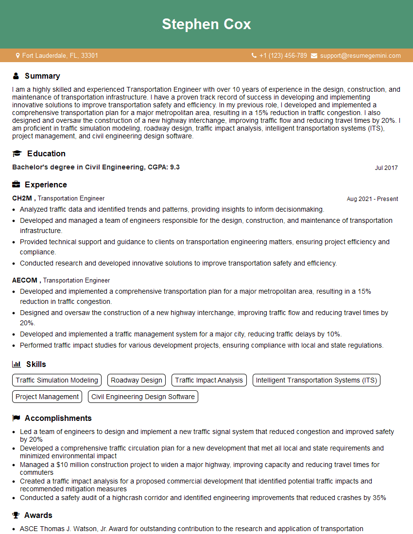
Transportation Engineer Resume Sample
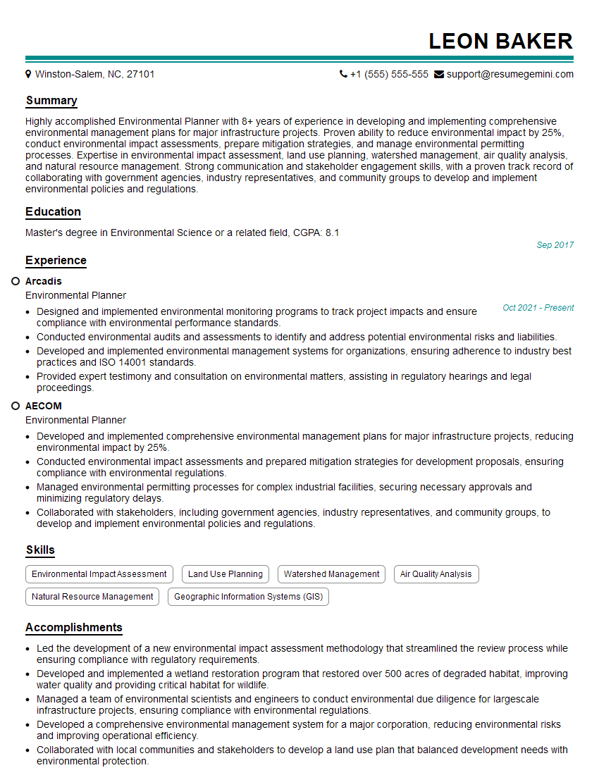
Environmental Planner Resume Sample

Traffic Engineer Resume Sample
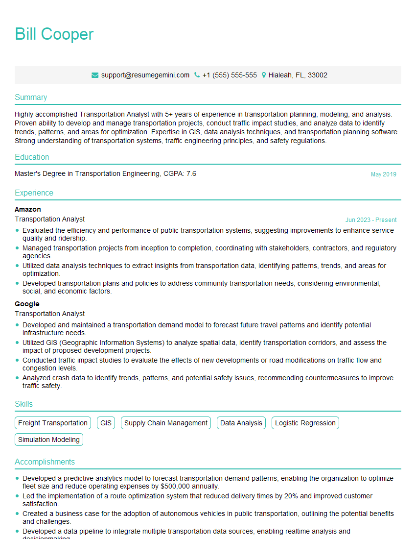
Transportation Analyst Resume Sample
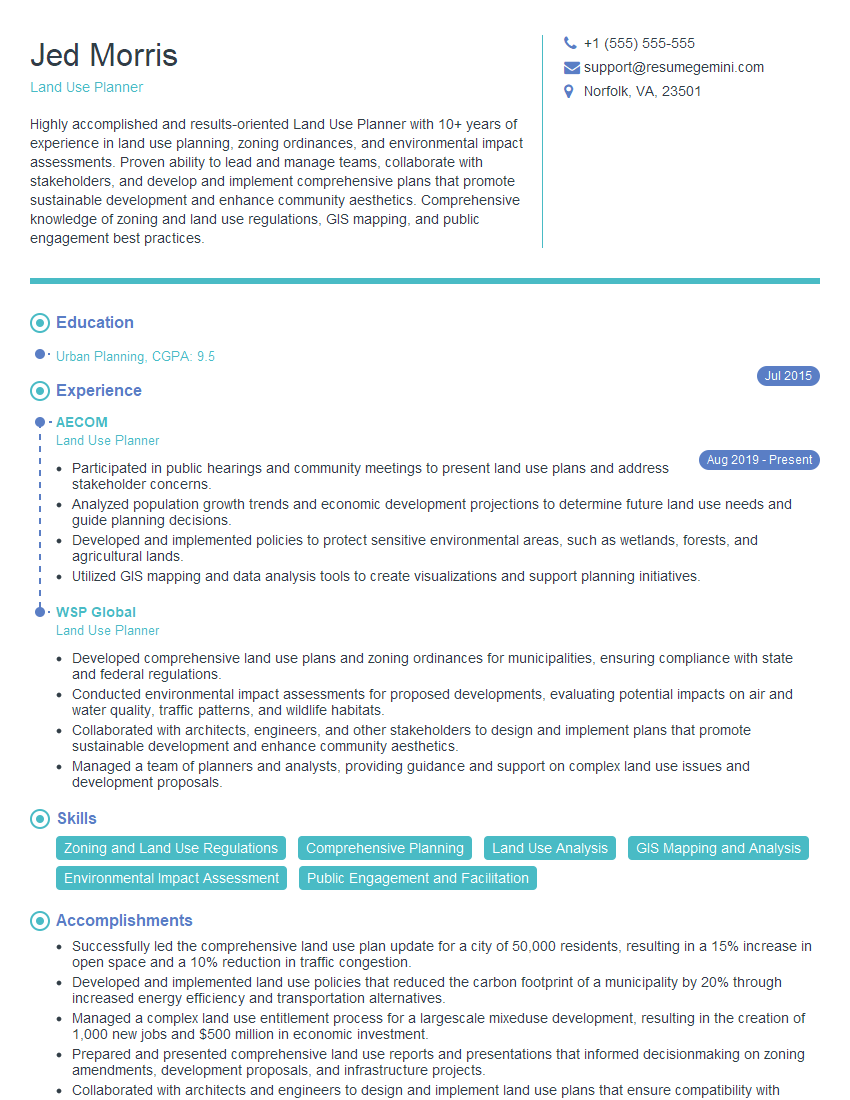
Land Use Planner Resume Sample

Planning Manager Resume Sample
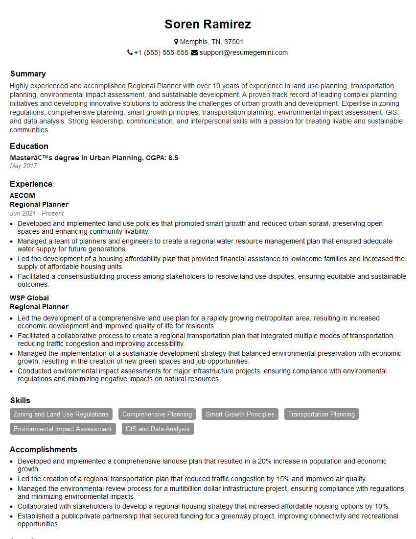
Regional Planner Resume Sample
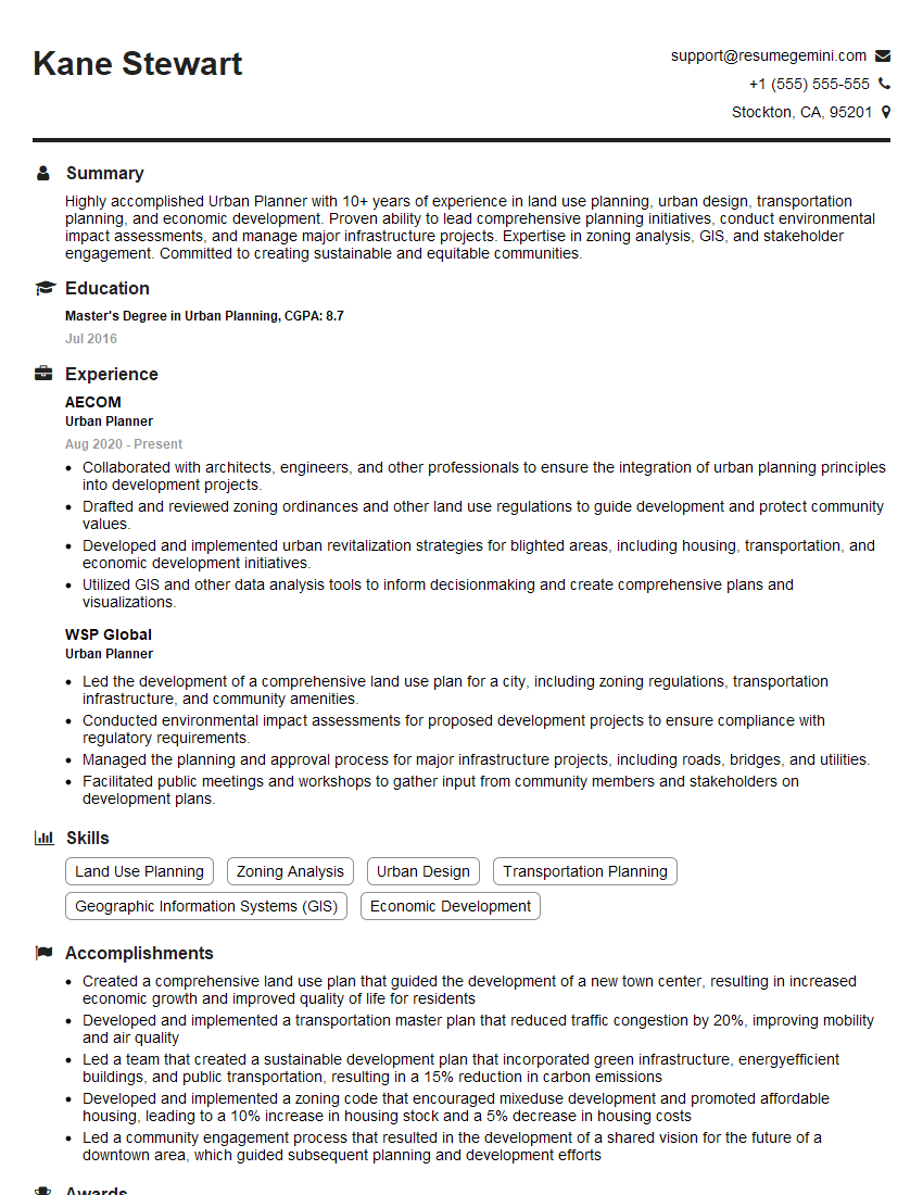
Urban Planner Resume Sample
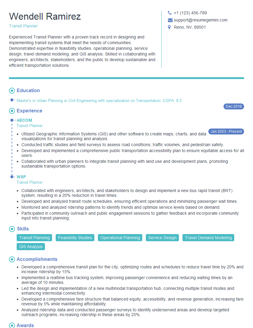
Transit Planner Resume Sample
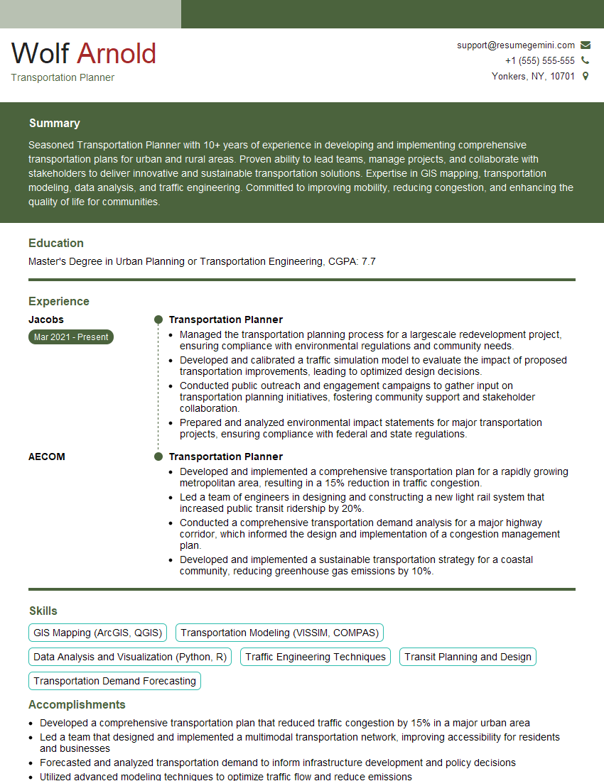
Transportation Planner Resume Sample
Explore more articles
Users Rating of Our Blogs
Share Your Experience
We value your feedback! Please rate our content and share your thoughts (optional).
What Readers Say About Our Blog
To the interviewgemini.com Webmaster.
Very helpful and content specific questions to help prepare me for my interview!
Thank you
To the interviewgemini.com Webmaster.
This was kind of a unique content I found around the specialized skills. Very helpful questions and good detailed answers.
Very Helpful blog, thank you Interviewgemini team.