The thought of an interview can be nerve-wracking, but the right preparation can make all the difference. Explore this comprehensive guide to Land Use Planning Principles interview questions and gain the confidence you need to showcase your abilities and secure the role.
Questions Asked in Land Use Planning Principles Interview
Q 1. Explain the difference between zoning and subdivision regulations.
Zoning and subdivision regulations are both crucial tools in land use planning, but they address different aspects of development. Think of zoning as the big picture, dictating the permitted uses of land in a specific area – residential, commercial, industrial, etc. Subdivision regulations, on the other hand, focus on the physical layout and infrastructure of individual land parcels within those zones.
- Zoning: This establishes broad land use categories and sets standards for things like building height, density, setbacks (distance from property lines), and parking requirements. For instance, a residential zone might limit building height to three stories and require a minimum lot size of 10,000 square feet.
- Subdivision Regulations: These deal with the process of dividing a larger parcel of land into smaller lots for development. They address issues like street design, utility infrastructure (water, sewer, electricity), open space requirements, and lot sizes and dimensions. For example, regulations might mandate a certain percentage of green space within a subdivision or specify standards for road width and drainage systems.
In essence, zoning sets the overall framework, while subdivision regulations determine the detailed design of individual developments within that framework. They work in tandem to guide growth and development in a planned and controlled manner.
Q 2. Describe the process of environmental impact assessment in land use planning.
An Environmental Impact Assessment (EIA) is a systematic process used to identify, predict, evaluate, and mitigate the environmental impacts of a proposed project or development. It’s a critical component of responsible land use planning, ensuring that environmental considerations are integrated into decision-making from the outset.
The process typically involves these steps:
- Screening: Determining if an EIA is required based on the project’s potential impact.
- Scoping: Identifying the key environmental issues and the scope of the assessment.
- Impact Assessment: Analyzing the potential environmental impacts (positive and negative) of the project on various aspects, such as air and water quality, biodiversity, noise pollution, and cultural heritage. This often involves using specialized models and data.
- Mitigation Planning: Developing strategies to avoid, minimize, or compensate for negative impacts.
- Reporting and Review: Preparing an EIA report that documents the findings and recommendations, followed by a review and approval process by relevant authorities.
- Monitoring and Evaluation: Tracking the project’s actual environmental performance during and after construction to verify the effectiveness of mitigation measures.
A well-conducted EIA ensures that development projects are environmentally sustainable and protect valuable natural resources. Imagine a proposed highway cutting through a sensitive wetland. The EIA would identify the potential damage to the wetland ecosystem, propose mitigation measures such as creating a new wetland elsewhere, and assess their feasibility.
Q 3. What are the key components of a comprehensive land use plan?
A comprehensive land use plan is a roadmap guiding how land within a specific area (city, county, region) will be used over a defined period. It’s more than just zoning; it’s a holistic vision integrating various factors to ensure sustainable and equitable development. Key components include:
- Land Use Map: A visual representation of the existing and proposed land uses.
- Goals and Objectives: Defining the community’s vision for future land use (e.g., promoting economic growth while preserving natural resources).
- Policies and Regulations: Specific rules and guidelines for different land uses (e.g., density limits, building height restrictions, environmental protection measures).
- Infrastructure Plans: Addressing the needs for roads, utilities, transportation, and other infrastructure to support projected growth.
- Environmental Considerations: Protecting natural resources, minimizing environmental impacts, and promoting sustainability.
- Housing Plans: Addressing housing needs, affordability, and diversity.
- Economic Development Strategies: Promoting economic opportunities and job creation.
- Transportation Plans: Managing traffic congestion, promoting alternative transportation modes, and ensuring efficient movement of people and goods.
- Implementation Strategies: Outlining the steps needed to carry out the plan.
- Monitoring and Evaluation: Establishing mechanisms to track progress and make adjustments as needed.
Think of it as a living document, regularly reviewed and updated to reflect changing needs and circumstances.
Q 4. How do you incorporate community input into the land use planning process?
Incorporating community input is crucial for creating land use plans that are both effective and accepted by the public. Ignoring public opinion often leads to resistance and conflict. Here are several strategies for effective community engagement:
- Public Forums and Meetings: Organizing open forums and public meetings to present plan proposals and gather feedback.
- Surveys and Questionnaires: Using online and paper-based surveys to gather input from a wider range of community members.
- Focus Groups: Conducting targeted discussions with specific groups (e.g., residents, business owners, environmental advocates).
- Online Engagement Platforms: Using websites, social media, and interactive maps to facilitate online participation.
- Community Workshops: Hosting interactive workshops where participants can actively participate in shaping the plan’s direction.
- Charrettes: Organized collaborative sessions where stakeholders work together to develop design concepts.
Effective communication is key. Clearly conveying information, actively listening to concerns, and responding to feedback transparently build trust and ensure the plan reflects the community’s needs and values.
Q 5. What are some common challenges in balancing economic development with environmental protection in land use planning?
Balancing economic development with environmental protection is a constant challenge in land use planning. They often appear to be competing goals, but a truly sustainable approach integrates both. Key challenges include:
- Conflicting Land Use Demands: The need for housing, businesses, and infrastructure often clashes with the need to preserve natural resources and protect sensitive ecosystems.
- Short-Term vs. Long-Term Goals: Economic development often prioritizes short-term gains, which can compromise long-term environmental sustainability.
- Infrastructure Costs: Protecting the environment often requires significant investments in infrastructure (e.g., wastewater treatment plants, green infrastructure), which can be a burden on local governments.
- Stakeholder Conflicts: Different groups (developers, environmentalists, residents) often have competing interests and priorities.
- Uncertainty and Risk: Predicting the long-term environmental consequences of development decisions can be challenging, making it difficult to balance risks and opportunities.
Strategies to address these challenges include innovative development approaches (e.g., green building standards, infill development), strong environmental regulations, economic incentives for sustainable practices, and effective stakeholder engagement to build consensus.
Q 6. Explain the concept of ‘form-based codes’ and their advantages.
Form-based codes (FBCs) are a relatively new approach to land use regulation that focuses on the physical form of development, rather than solely on land use categories. Instead of specifying permitted uses, FBCs establish standards for building design, placement, and appearance to create a desired built environment. They use descriptive regulations and visual standards to create predictable outcomes, leading to more attractive and functional neighborhoods.
Advantages of FBCs:
- Predictability: Developers know upfront what design standards must be met, streamlining the review process.
- Design Quality: FBCs promote higher-quality design and more visually appealing communities.
- Flexibility: While setting design standards, FBCs typically allow for a range of uses within a given area.
- Walkability and Transit-Oriented Development: FBCs can be used to promote walkable neighborhoods and transit-oriented development by encouraging mixed-use zoning and compact development patterns.
- Community Character: They help preserve or enhance the character of existing neighborhoods.
Imagine a historic downtown area. An FBC could specify building heights, materials, setbacks, and architectural styles to maintain its unique character while allowing for new development. This contrasts with traditional zoning, which might only specify permitted uses without dictating design specifics, potentially leading to incongruous new buildings.
Q 7. Describe your experience with Geographic Information Systems (GIS) in land use planning.
Geographic Information Systems (GIS) are indispensable tools in land use planning. My experience with GIS spans several projects where I utilized its capabilities for data management, analysis, and visualization.
Specific applications include:
- Creating and updating land use maps: GIS allows for precise mapping and efficient data management for existing and proposed land uses.
- Analyzing spatial relationships: Identifying proximity to infrastructure (schools, hospitals, parks), evaluating environmental sensitivities, and assessing potential impacts of development projects.
- Modeling future land use scenarios: Simulating growth patterns based on different development scenarios to inform decision-making.
- Public participation and visualization: Using GIS to create interactive maps and visualizations for community engagement. This allows community members to see and understand proposed changes more effectively.
- Environmental impact assessment: GIS is critical for integrating environmental data (e.g., soil types, water resources) into EIA studies.
- Infrastructure planning: Planning the efficient placement of utilities and transportation networks.
For example, in one project, I used GIS to analyze the impact of a proposed shopping center on traffic flow and parking demand. By overlaying traffic data and land use data, we were able to identify potential congestion points and propose mitigation strategies before construction began. The resulting visualizations were incredibly useful for explaining the project’s potential consequences to stakeholders.
Q 8. How do you address conflicts between different land use interests?
Addressing conflicts between different land use interests requires a multifaceted approach centered around collaboration, compromise, and a robust understanding of the competing needs. It’s like mediating a family dispute – everyone has valid points, but finding a solution that satisfies everyone perfectly is rare.
My approach involves:
- Stakeholder Engagement: Early and continuous engagement with all affected parties – residents, businesses, environmental groups, etc. – is crucial. This includes public forums, workshops, and individual meetings to understand perspectives and concerns.
- Data-Driven Analysis: Utilizing GIS mapping and other analytical tools to visualize competing interests and their spatial relationships. For example, overlaying proposed development zones with sensitive ecological areas can highlight potential conflicts.
- Negotiation and Mediation: Facilitating discussions to find common ground. This might involve exploring trade-offs, compromises, and creative solutions. Perhaps a developer can adjust building height in exchange for improved public green spaces.
- Multi-Criteria Evaluation (MCE): Developing a framework that weighs different land use goals (economic development, environmental protection, social equity) against each other. This helps to systematically evaluate different options and prioritize based on pre-defined criteria.
- Regulatory Framework Application: Careful consideration and application of relevant zoning regulations, environmental impact assessments, and other legal frameworks to ensure decisions are fair, legal, and environmentally sound.
For example, in a project involving a proposed shopping mall near a residential area, conflicts might arise regarding traffic, noise, and aesthetic impacts. By engaging residents early, adjusting the mall’s design to mitigate noise pollution, and implementing traffic-calming measures, we can often find acceptable compromises.
Q 9. What are the principles of smart growth and how can they be implemented?
Smart growth is a planning approach that aims to create more sustainable, livable, and economically vibrant communities. Think of it as designing a city that works well for both people and the environment. It’s the opposite of sprawling, low-density development that consumes vast amounts of land and resources.
Key principles include:
- Mixed-Use Development: Combining residential, commercial, and recreational uses in a single area, reducing reliance on cars and promoting walkability. Imagine a neighborhood where you can walk to shops, restaurants, and parks.
- Transit-Oriented Development (TOD): Building high-density housing and commercial areas around public transportation hubs, encouraging the use of public transit and reducing traffic congestion.
- Compact Design: Developing higher-density housing and businesses to minimize urban sprawl and preserve open space. This means building up rather than out.
- Preservation of Open Space: Protecting natural areas, parks, and green spaces to improve quality of life and environmental health. This can include preserving farmland or creating urban greenways.
- Walkability and Bikeability: Designing neighborhoods with pedestrian- and bicycle-friendly infrastructure, promoting active transportation.
- Community Participation: Involving residents in the planning process to ensure the plan reflects their needs and aspirations.
Implementation involves zoning reforms, incentivizing developers to build according to smart growth principles, investing in public transportation, and creating community partnerships.
Q 10. How do you evaluate the potential impacts of a proposed development project?
Evaluating the potential impacts of a proposed development project is a critical step in the planning process. It’s akin to conducting a thorough health check before making a significant investment.
My approach involves a comprehensive assessment covering:
- Environmental Impact Assessment (EIA): Assessing potential effects on air and water quality, wildlife habitats, and other environmental resources. This often involves detailed studies and modeling.
- Social Impact Assessment (SIA): Evaluating the project’s potential effects on the community, including displacement, social cohesion, and access to services. This may involve surveys, interviews, and community consultations.
- Economic Impact Assessment (EIA): Analyzing the project’s economic benefits and costs, including job creation, tax revenue, and potential negative impacts on existing businesses.
- Traffic and Transportation Impact Analysis: Assessing the project’s effect on traffic patterns, parking availability, and accessibility. This might involve traffic modeling software to simulate changes in traffic flow.
- Risk Assessment: Identifying potential hazards and risks associated with the project, such as flooding, seismic activity, or other natural hazards.
The findings of these assessments are used to inform decision-making, mitigation strategies, and permit applications. For instance, a proposed highway might require noise barriers to mitigate impacts on nearby residents, or a wetland mitigation plan to offset the loss of habitat. The findings will be incorporated into the Environmental Impact Statement that is made public.
Q 11. Explain the role of public participation in the land use planning process.
Public participation is the cornerstone of effective land use planning. It ensures that plans are responsive to community needs and values. Imagine building a house without consulting the future inhabitants – the results would likely be unsatisfactory.
My approach involves:
- Early and Ongoing Engagement: Involving the public from the earliest stages of planning, through the entire process.
- Multiple Channels for Participation: Offering diverse ways for people to participate, including public meetings, online surveys, workshops, and open houses.
- Accessible Communication: Using clear, concise language and providing information in multiple formats (e.g., visual aids, translations) to ensure everyone can understand and contribute.
- Addressing Public Concerns: Actively seeking input, addressing concerns, and incorporating feedback into the plan.
- Transparency and Accountability: Being open about the planning process, decisions made, and how public input was considered.
For instance, using online platforms for interactive mapping allows residents to pinpoint areas of concern or suggest improvements directly onto a map, making their feedback more visual and tangible.
Q 12. Describe your experience with land use regulatory frameworks and processes.
My experience encompasses a broad range of land use regulatory frameworks and processes, both at the local and regional levels. I’ve worked extensively with zoning ordinances, subdivision regulations, environmental review processes (NEPA, CEQA), and coastal zone management plans.
I’m familiar with the intricacies of navigating permit applications, conducting environmental reviews, and addressing appeals. I have experience with:
- Zoning Code Analysis and Amendments: I have reviewed existing zoning codes and drafted amendments to reflect evolving community needs and sustainability goals.
- Subdivision Review: I have reviewed subdivision proposals ensuring compliance with regulations, and addressing issues related to infrastructure, environmental protection, and community design.
- Environmental Impact Report Preparation and Review: I have prepared and reviewed Environmental Impact Reports (EIRs) and Environmental Impact Statements (EISs), assessing the potential environmental impacts of projects and recommending mitigation measures.
- Coastal Zone Management: I have worked on projects involving coastal development, ensuring compliance with relevant regulations and protecting coastal resources.
Through my work, I have developed a deep understanding of the balance between protecting community interests, promoting economic development, and ensuring environmental stewardship. I am adept at finding practical solutions that comply with existing regulations while also meeting community needs.
Q 13. What are the key considerations when planning for transportation infrastructure?
Planning for transportation infrastructure is crucial for creating efficient, sustainable, and safe communities. It’s about moving people and goods smoothly and effectively while minimizing negative environmental and social impacts. Think of it as designing the circulatory system of a city.
Key considerations include:
- Multimodal Transportation: Planning for a variety of transportation options, including public transit, cycling, walking, and automobiles, to meet diverse needs.
- Connectivity and Accessibility: Ensuring that the transportation network is well-connected and accessible to all, including people with disabilities.
- Safety: Prioritizing safety for all users, through traffic calming measures, improved pedestrian crossings, and bike lanes.
- Environmental Sustainability: Minimizing the environmental footprint of transportation infrastructure, through reduced emissions, green infrastructure, and the preservation of natural habitats.
- Economic Viability: Balancing the cost of infrastructure development with the long-term economic benefits it provides.
- Land Use Integration: Integrating transportation planning with land use planning to promote mixed-use development and transit-oriented development.
For example, when planning a new light rail line, we must consider its impact on land use around stations, potential development opportunities it creates, and how it integrates with other modes of transport.
Q 14. How do you ensure that land use plans are consistent with local, regional, and state policies?
Ensuring consistency between land use plans and higher-level policies is essential for achieving regional and statewide goals. It’s like making sure all the pieces of a puzzle fit together seamlessly.
My approach involves:
- Policy Review and Analysis: Thoroughly reviewing local, regional, and state policies relevant to land use, including comprehensive plans, growth management plans, environmental regulations, and transportation plans.
- Goal Alignment: Identifying common goals and objectives across different levels of government and aligning land use plans accordingly.
- Integration of Policies: Incorporating relevant policies and regulations directly into the land use plan, ensuring compliance.
- Stakeholder Coordination: Collaborating with regional and state agencies to ensure consistency and avoid conflicts.
- Monitoring and Evaluation: Regularly monitoring the implementation of the land use plan to ensure it remains aligned with higher-level policies.
For example, if a state has a policy promoting renewable energy, a local land use plan should identify suitable areas for renewable energy projects and incorporate incentives for their development. Regularly reviewing and updating the plan ensures continued consistency and adaptability.
Q 15. Explain the concept of ‘transit-oriented development’.
Transit-oriented development (TOD) is a type of urban development that maximizes the amount of residential, business, and leisure space within walking distance of public transportation. Think of it as creating vibrant, mixed-use communities centered around train stations, bus hubs, or other easily accessible transit points. The goal is to reduce car dependency, improve air quality, and create more sustainable and livable urban environments.
For example, a TOD project might involve building high-density apartments above a light rail station, with ground-floor retail spaces catering to residents and commuters. This design encourages walking and cycling, reduces the need for parking, and generates a sense of community around the transit hub. Successful TODs often incorporate pedestrian-friendly streetscapes, bike lanes, and green spaces to enhance the overall experience.
In a practical setting, implementing TOD involves carefully considering zoning regulations, transportation planning, and community input. It requires collaboration among various stakeholders, including developers, transit authorities, and local government agencies.
Career Expert Tips:
- Ace those interviews! Prepare effectively by reviewing the Top 50 Most Common Interview Questions on ResumeGemini.
- Navigate your job search with confidence! Explore a wide range of Career Tips on ResumeGemini. Learn about common challenges and recommendations to overcome them.
- Craft the perfect resume! Master the Art of Resume Writing with ResumeGemini’s guide. Showcase your unique qualifications and achievements effectively.
- Don’t miss out on holiday savings! Build your dream resume with ResumeGemini’s ATS optimized templates.
Q 16. How do you incorporate principles of sustainability into land use plans?
Incorporating sustainability into land use plans is crucial for creating resilient and environmentally responsible communities. It requires a holistic approach, considering environmental, social, and economic factors. Key strategies include:
- Protecting natural resources: This involves preserving green spaces, wetlands, and forests; implementing strategies for water conservation; and minimizing habitat disruption.
- Promoting energy efficiency: Encouraging the use of renewable energy sources, implementing energy-efficient building codes, and designing developments to minimize energy consumption are all vital.
- Reducing waste and pollution: This includes promoting recycling programs, reducing reliance on single-use plastics, and planning for effective waste management systems.
- Supporting local food systems: Integrating urban agriculture, farmers’ markets, and supporting local food producers into land use plans helps reduce food miles and promotes healthier diets.
- Creating walkable and bikeable communities: Designing communities that prioritize pedestrian and bicycle infrastructure encourages physical activity, reduces reliance on cars, and promotes a healthier lifestyle.
For example, a sustainable land use plan might prioritize the development of compact, mixed-use neighborhoods with ample public transportation, encouraging residents to walk, bike, or use public transit. It would also incorporate green infrastructure, such as green roofs and rain gardens, to manage stormwater runoff and reduce the urban heat island effect.
Q 17. What are some strategies for managing growth in rapidly developing areas?
Managing growth in rapidly developing areas requires a proactive and strategic approach. It’s about balancing economic development with environmental protection and community well-being. Strategies include:
- Urban growth boundaries: Defining clear boundaries for urban development helps to prevent sprawl and protect surrounding natural areas.
- Infrastructure planning: Investing in adequate transportation, water, and sewer infrastructure is essential to support growth without compromising quality of life.
- Zoning regulations: Implementing thoughtful zoning regulations can guide development patterns, ensuring compatibility with surrounding areas and minimizing negative impacts.
- Density management: Strategic density planning can create more compact, walkable communities, reducing reliance on cars and promoting a sense of community.
- Affordable housing initiatives: Addressing the need for affordable housing ensures that the benefits of growth are shared across the community.
- Community engagement: Involving residents in the planning process is crucial for ensuring that development reflects community values and priorities.
For instance, a city experiencing rapid growth might establish an urban growth boundary to prevent sprawl into sensitive natural areas. It would then invest in public transportation to connect new developments to existing infrastructure and implement zoning regulations to ensure that new construction is compatible with the existing character of the community.
Q 18. Describe your experience with analyzing demographic data to inform land use decisions.
Demographic data analysis is fundamental to informed land use decisions. I have extensive experience using demographic data such as population projections, age distributions, household sizes, income levels, and employment patterns to inform land use plans. For example, in a recent project, we analyzed population projections to determine the future demand for housing, schools, and other community facilities. This analysis informed decisions on the location and type of development, ensuring that new infrastructure adequately met future needs.
Specifically, we used GIS software to map population density and growth patterns, identifying areas with high demand and potential for development. We then used statistical modeling to predict future housing needs, based on projected population growth and household size. This helped to determine the appropriate density and type of housing to build in different areas. The results directly influenced zoning decisions and infrastructure investments.
Q 19. How do you assess the feasibility of a proposed development project?
Assessing the feasibility of a proposed development project involves a multi-faceted approach, evaluating its economic, environmental, and social viability. Key aspects include:
- Market analysis: Determining the demand for the proposed development, considering market trends and potential competition.
- Financial analysis: Evaluating the financial viability of the project, including cost estimates, funding sources, and potential returns.
- Environmental impact assessment: Assessing the potential environmental impacts of the project and identifying mitigation measures.
- Engineering and infrastructure review: Ensuring that the project is technically feasible and meets all necessary building codes and regulations.
- Regulatory compliance: Determining if the project complies with all applicable zoning regulations, environmental permits, and other legal requirements.
- Community impact assessment: Evaluating the social and economic impacts of the project on the surrounding community.
A feasibility study would typically involve a detailed cost-benefit analysis, taking into account both direct and indirect costs and benefits. It should also incorporate stakeholder input, to ensure the project aligns with community needs and aspirations.
Q 20. What are the key elements of a successful community engagement strategy?
A successful community engagement strategy is essential for developing land use plans that reflect the needs and aspirations of the community. It requires a proactive and inclusive approach, emphasizing transparency and two-way communication. Key elements include:
- Early and frequent engagement: Involving residents from the beginning of the planning process and providing opportunities for ongoing feedback.
- Accessible communication channels: Using a variety of communication methods to reach diverse community members, including public meetings, online surveys, and social media.
- Transparent and open communication: Providing clear and accessible information about the planning process and the rationale behind decisions.
- Responsive feedback mechanisms: Addressing community concerns and incorporating feedback into the planning process.
- Diverse stakeholder involvement: Ensuring that the voices of all stakeholders, including underrepresented groups, are heard.
For instance, effective community engagement might include hosting public workshops, using online platforms for feedback collection, and creating advisory committees composed of diverse community members to ensure that the development process is transparent and inclusive.
Q 21. Explain the importance of considering environmental justice in land use planning.
Environmental justice is the fair treatment and meaningful involvement of all people regardless of race, color, national origin, or income with respect to the development, implementation, and enforcement of environmental laws, regulations, and policies. In land use planning, this means ensuring that the benefits and burdens of development are distributed equitably across all communities, not just those with political or economic power.
Failing to consider environmental justice can lead to disproportionate negative impacts on vulnerable populations, such as the siting of polluting industries or landfills in low-income or minority neighborhoods. It’s crucial to avoid exacerbating existing inequalities and to actively work towards creating more just and equitable outcomes. This requires careful analysis of environmental risks and their distribution across different communities and actively working to mitigate potential disparities.
For example, a land use plan might prioritize the location of affordable housing away from sources of pollution, or it might provide access to green spaces and parks to communities that lack them. Active community participation from all demographic groups ensures the development aligns with the needs of each demographic.
Q 22. How do you handle appeals or challenges to land use decisions?
Handling appeals to land use decisions requires a structured and transparent process that prioritizes fairness and due process. It begins with a clear understanding of the grounds for appeal, typically outlined in local ordinances and regulations. This might include procedural errors, inconsistencies with the comprehensive plan, or claims of inadequate public notice.
My approach involves carefully reviewing the appeal, gathering all relevant documentation, and potentially conducting further investigation or analysis. I then convene a meeting (or multiple meetings, depending on complexity) with all involved parties, including the appellant, the planning commission, and potentially legal counsel. This collaborative approach facilitates dialogue and often leads to mutually agreeable solutions. If a resolution can’t be reached through mediation, the appeal often proceeds to a formal hearing before a designated body – perhaps a board of appeals or even a court – where evidence is presented and a final decision is rendered based on established legal precedents. Maintaining thorough records throughout the entire process is crucial for accountability and transparency.
For example, in a recent case, an appeal challenged the density allowance in a new residential development. After reviewing the appeal, we discovered an oversight in our initial environmental impact assessment regarding traffic flow. By engaging in open communication with the appellants, we were able to modify the project plans to address their concerns, ultimately avoiding a lengthy and costly legal battle.
Q 23. What is your experience with analyzing economic impacts of land use decisions?
Analyzing the economic impacts of land use decisions is a critical component of effective planning. It requires a multi-faceted approach that considers both direct and indirect effects. I use a variety of tools and techniques, including cost-benefit analysis, fiscal impact analysis, and economic modeling to assess the potential consequences of different development scenarios.
Fiscal impact analysis, for instance, examines the revenue and expenditure implications of a project. This includes estimating changes in property tax revenue, demands on public services (schools, infrastructure), and any potential need for public subsidies. Cost-benefit analysis helps weigh the overall economic benefits (increased employment, tax revenue, property values) against the costs (infrastructure improvements, environmental remediation) associated with a development. More sophisticated economic modeling can simulate the long-term effects of various land use plans on employment, income, and overall economic growth within a community.
In a recent project, we used an economic model to compare the potential impacts of two alternative plans for a brownfield site: one involving residential development and the other a commercial development. The model revealed that the commercial development, while requiring a larger upfront investment in infrastructure, would generate more jobs and significantly higher tax revenue in the long run, helping to inform the decision-making process.
Q 24. Describe your familiarity with different land use planning models.
I’m familiar with a range of land use planning models, each offering unique strengths and weaknesses depending on the context. These include:
- Rational-Comprehensive Planning: This model emphasizes a systematic, data-driven approach, involving extensive analysis and public participation to create an optimal plan. However, it can be time-consuming and may struggle to adapt to changing circumstances.
- Incrementalism: This model advocates for a step-by-step approach, making small adjustments to existing plans rather than undertaking radical overhauls. It’s more adaptable but may lack vision and overlook long-term strategic goals.
- Advocacy Planning: This model prioritizes the needs of specific community groups, particularly those traditionally marginalized or underrepresented in the planning process. While vital for inclusivity, it can create conflicts between competing interests.
- Transactive Planning: This model fosters a collaborative dialogue between planners and stakeholders, emphasizing negotiation and compromise to build consensus. It’s highly participatory but can be challenging to manage when conflicting interests are strong.
My experience involves selecting and adapting models based on the specific context of each project. Often, a blended approach is most effective, incorporating elements from different models to achieve the best outcomes.
Q 25. How do you ensure that land use plans are equitable and accessible to all community members?
Ensuring equitable and accessible land use plans necessitates proactive engagement with all community members, especially those who are often underrepresented. This begins with a commitment to meaningful public participation, going beyond simple public hearings to employ a variety of outreach strategies tailored to different demographics and communication preferences.
This includes utilizing multiple communication channels (online surveys, social media, in-person meetings, translated materials), actively seeking input from diverse groups (low-income residents, people with disabilities, ethnic minorities, etc.), and ensuring that the planning process is transparent and understandable to all. Equitable planning also involves addressing historical inequities and patterns of discrimination in land use decisions, potentially through targeted interventions or affirmative actions to promote inclusive outcomes.
For instance, in one project, we used participatory mapping exercises to allow residents to identify their priorities and concerns regarding park access. This interactive process revealed significant disparities in access based on income and neighborhood, informing the prioritization of improvements to parks in underserved areas.
Q 26. How do you stay current with best practices and emerging trends in land use planning?
Staying current in land use planning requires a commitment to continuous learning and professional development. I actively participate in professional organizations like the American Planning Association (APA), attending conferences, workshops, and webinars to learn about best practices and emerging trends. I regularly review relevant academic journals and publications, focusing on areas like sustainable development, climate change adaptation, and smart growth principles.
Furthermore, I engage in ongoing professional networking, exchanging ideas and experiences with colleagues in the field through local chapters and online forums. This keeps me informed of innovative approaches and allows me to learn from others’ successes and challenges. Staying updated on changes in relevant legislation and regulations is also crucial, ensuring that our planning work aligns with current legal frameworks.
For example, recently I completed a specialized course on climate-resilient infrastructure planning, enabling me to integrate climate change considerations into our projects, improving their long-term sustainability and resilience.
Q 27. Describe a time you had to make a difficult decision involving conflicting land use priorities.
One of the most challenging decisions involved balancing competing demands for affordable housing and environmental protection in a coastal community. The area possessed limited land suitable for development, and the proposed housing project was situated near a sensitive wetland ecosystem.
The initial proposal threatened significant wetland habitat, prompting environmental concerns. However, the need for affordable housing was equally pressing given the community’s growing population and rising housing costs. My approach involved facilitating a series of stakeholder meetings with community residents, environmental groups, developers, and government agencies. Through collaborative discussion and compromise, we devised a modified plan that reduced the project’s footprint and incorporated measures to mitigate its environmental impacts, such as constructing elevated foundations and implementing wetland restoration initiatives. This solution wasn’t ideal for all parties, but it represented a fair compromise that addressed the critical need for affordable housing while protecting the environment. It highlighted the crucial role of negotiation and finding creative solutions when addressing conflicting priorities in land use planning.
Key Topics to Learn for Your Land Use Planning Principles Interview
- Zoning and Land Use Regulations: Understand different zoning classifications (residential, commercial, industrial, etc.), their application, and the legal framework governing land use decisions. Consider the impact of zoning changes on communities.
- Environmental Impact Assessment (EIA): Learn how EIAs are conducted, the key factors considered (e.g., ecological impact, traffic, air quality), and how to mitigate potential negative consequences. Be prepared to discuss case studies of successful and unsuccessful EIAs.
- Sustainable Development Principles: Demonstrate your understanding of sustainable land use practices, including smart growth, infill development, and green infrastructure. Be ready to discuss their practical implementation and challenges.
- Transportation Planning and Infrastructure: Discuss the relationship between land use and transportation, including traffic management, public transit planning, and the creation of pedestrian and bicycle-friendly environments. Consider the role of accessibility in land use planning.
- Community Engagement and Participation: Explain the importance of public participation in land use planning processes. Be prepared to discuss different engagement strategies and how to address conflicting interests among stakeholders.
- Growth Management and Urban Planning: Understand strategies for managing urban growth, including growth boundaries, urban design principles, and strategies to balance development with environmental protection.
- Land Use Conflicts and Resolution: Discuss common land use conflicts (e.g., residential vs. commercial development) and potential conflict resolution techniques, including negotiation, mediation, and arbitration.
- Data Analysis and GIS Applications: Demonstrate familiarity with using geographic information systems (GIS) and other data analysis tools to inform land use planning decisions. Be ready to discuss how data informs your decision-making process.
Next Steps: Ace Your Interview and Launch Your Career
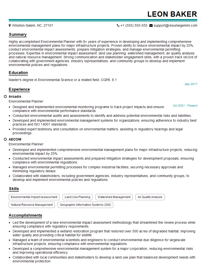
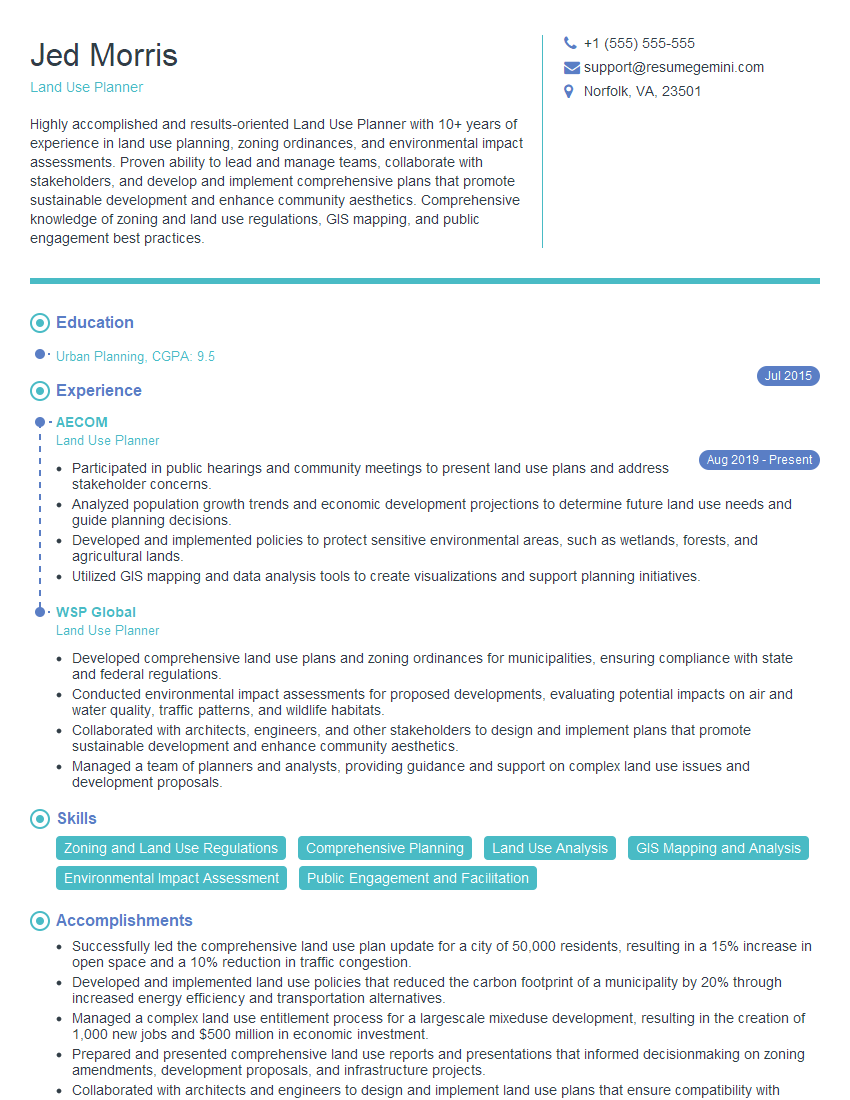
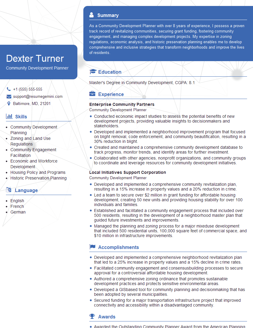
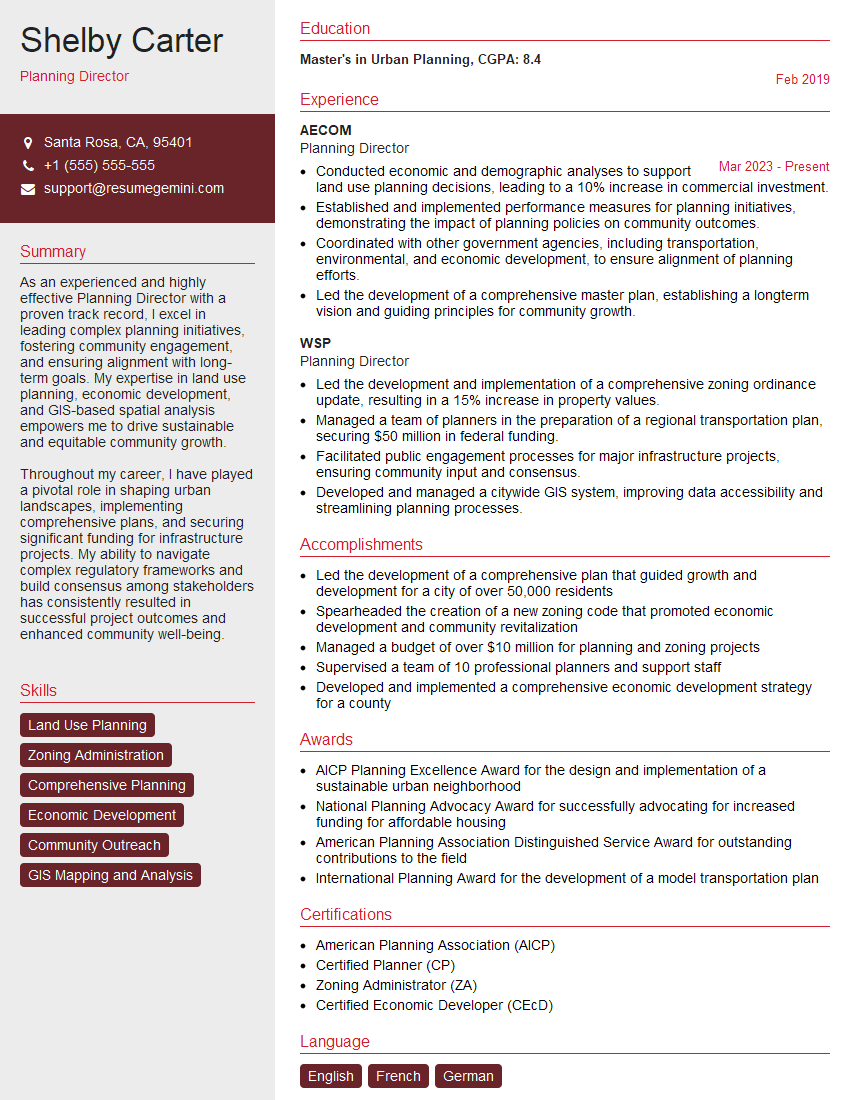
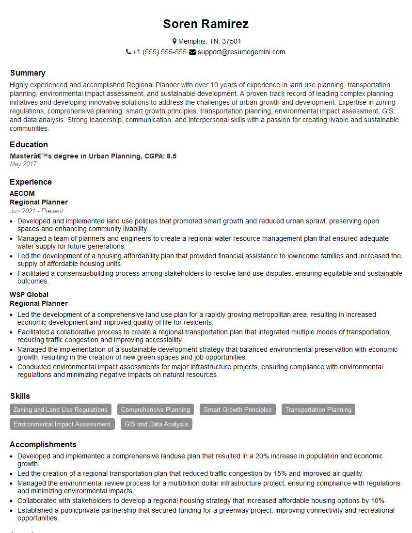
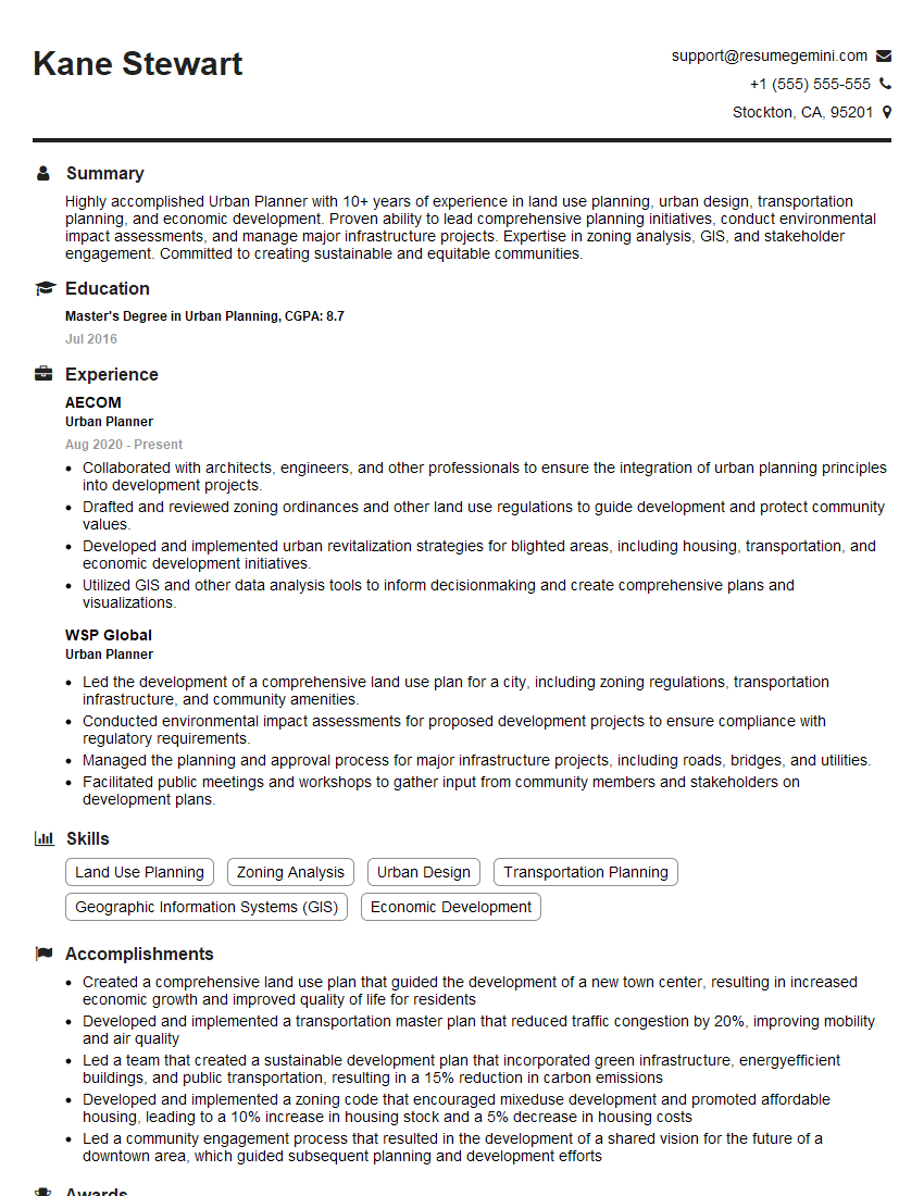
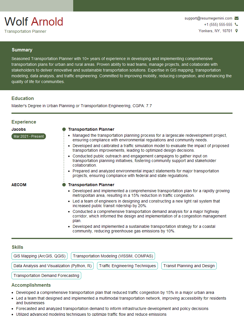
Mastering Land Use Planning Principles is crucial for career advancement in this dynamic field. A strong understanding of these concepts will significantly increase your interview success rate and open doors to exciting opportunities. To maximize your job prospects, create a compelling and ATS-friendly resume that showcases your skills and experience effectively. We highly recommend using ResumeGemini, a trusted resource for building professional resumes. ResumeGemini provides examples of resumes tailored to Land Use Planning Principles, helping you present your qualifications in the best possible light. Invest in your future – build a resume that gets noticed!

Explore more articles
Users Rating of Our Blogs
Share Your Experience
We value your feedback! Please rate our content and share your thoughts (optional).
What Readers Say About Our Blog
To the interviewgemini.com Webmaster.
Very helpful and content specific questions to help prepare me for my interview!
Thank you
To the interviewgemini.com Webmaster.
This was kind of a unique content I found around the specialized skills. Very helpful questions and good detailed answers.
Very Helpful blog, thank you Interviewgemini team.