The thought of an interview can be nerve-wracking, but the right preparation can make all the difference. Explore this comprehensive guide to Soil Classification and Interpretation interview questions and gain the confidence you need to showcase your abilities and secure the role.
Questions Asked in Soil Classification and Interpretation Interview
Q 1. Explain the difference between the USDA soil taxonomy and the World Reference Base for Soil Resources (WRB).
Both USDA Soil Taxonomy and the World Reference Base for Soil Resources (WRB) are systems for classifying soils globally, but they differ significantly in their approach and hierarchical structure. The USDA system, primarily used in the United States and parts of Canada, is a hierarchical system with six categorical levels, focusing on observable soil properties and their diagnostic horizons. It’s known for its detailed descriptions and extensive information on soil properties, making it highly useful for detailed land-use planning and agricultural management within its region. The WRB, developed by the Food and Agriculture Organization (FAO) of the United Nations, is a more general system intended for worldwide application. It uses a less hierarchical structure and emphasizes the formation processes of soils and their functional properties. While less detailed than the USDA system, it provides a broader, more universally applicable framework for comparing soil types across different continents and climates. Think of it like this: USDA is highly detailed map of a single city, while WRB is a world map showing broader geographical regions.
In essence, USDA is more detailed and specific, ideal for in-depth understanding and fine-tuned management within a specific region, while WRB offers a broader, simpler, and internationally recognized framework for global soil comparison and understanding.
Q 2. Describe the 12 soil orders in the USDA soil taxonomy.
The USDA Soil Taxonomy recognizes twelve soil orders, each representing a broad group of soils with similar characteristics. These orders are based on diagnostic horizons and properties, reflecting the dominant soil-forming processes. They are:
- Alfisols: Moderately weathered soils, typically found in humid and subhumid regions, rich in clay and bases.
- Andisols: Young, volcanic soils rich in organic matter and minerals.
- Aridisols: Soils of arid and semi-arid regions, characterized by low organic matter and high salt content.
- Entisols: Young soils with little or no horizon development, often found in recently deposited sediments.
- Gelisols: Permafrost-affected soils, typically found in high latitudes and altitudes.
- Histosols: Organic soils, primarily composed of partially decomposed plant matter.
- Inceptisols: Soils with weak horizon development, representing an intermediate stage of soil development.
- Mollisols: Dark, fertile soils with a thick, dark surface horizon rich in organic matter, often found in grasslands.
- Oxisols: Highly weathered, tropical soils low in nutrients and bases.
- Spodosols: Acidic soils with a subsurface accumulation of organic matter and iron and aluminum oxides, commonly found under coniferous forests.
- Ultisols: Highly weathered, acidic soils with a high clay content, typically found in humid regions.
- Vertisols: Clayey soils that shrink and swell significantly with changes in moisture content, often found in semi-arid and sub-humid regions.
Understanding these orders helps in predicting soil properties like drainage, nutrient availability, and suitability for different land uses. For instance, Mollisols are ideal for agriculture due to their high fertility, whereas Aridisols often require irrigation and careful management due to their low water retention.
Q 3. What are the diagnostic horizons and their significance in soil classification?
Diagnostic horizons are specific layers within a soil profile that have distinct characteristics, representing key soil-forming processes. These horizons are crucial for soil classification because they help to identify and define soil orders, suborders, great groups, subgroups, families, and series within the USDA system. They are like fingerprints, uniquely identifying each soil type. Some important diagnostic horizons include:
- O horizon: Organic layer consisting of mostly undecomposed plant material.
- A horizon: Topsoil, rich in organic matter and minerals.
- E horizon: Eluvial horizon; zone of maximum leaching of clays, iron, and aluminum oxides.
- B horizon: Subsoil; zone of accumulation of materials leached from the A horizon.
- C horizon: Parent material from which the soil formed.
- R horizon: Bedrock.
For example, the presence of a spodic horizon (Bs) is indicative of Spodosols, highlighting the accumulation of organic matter and iron/aluminum oxides due to specific environmental conditions. Identifying these horizons helps determine soil properties like drainage, nutrient content, and suitability for various uses.
Q 4. How do you interpret a soil profile description?
Interpreting a soil profile description involves systematically analyzing the observed characteristics of each horizon. This begins with noting the thickness, color, texture, structure, and presence of any diagnostic features (like roots, stones, or concretions). For example, a description might read: ‘0-15 cm: Dark brown (10YR 4/3) silt loam, moderate granular structure, many roots. 15-30 cm: Brown (7.5YR 5/4) silty clay loam, strong blocky structure, few roots, few iron concretions’.
This interpretation would then involve linking these observations to soil-forming processes and potential land-use implications. The dark color in the topsoil might suggest high organic matter content and fertility. The change in texture and structure indicates a shift in soil properties, possibly reflecting different soil-forming processes. The presence of iron concretions could point towards poor drainage. By integrating these observations, we can determine the soil’s overall characteristics— its suitability for agriculture, construction, or other uses. Furthermore, comparing the observed characteristics with existing soil databases and classification systems allows for accurate classification and prediction of soil behavior.
Q 5. Explain the importance of soil texture and structure in determining soil properties.
Soil texture and structure are fundamental soil properties that significantly influence various soil characteristics and their overall functionality. Soil texture refers to the relative proportions of sand, silt, and clay particles, while soil structure describes how these particles are arranged into aggregates or peds. Imagine sand as coarse grains, silt as fine powder, and clay as tiny sticky particles.
Texture directly impacts water holding capacity, drainage, aeration, and nutrient availability. Clay soils hold more water but drain poorly, potentially leading to waterlogging. Sandy soils drain well but have low water retention. Silt soils represent a balance between the two. Soil structure, on the other hand, impacts porosity and permeability. Well-structured soils with well-defined aggregates provide good aeration and water infiltration, while poorly structured soils have reduced porosity, hindering both water movement and root penetration. This directly impacts plant growth and overall soil health. For instance, a well-structured loam soil (a balanced mix of sand, silt, and clay) typically shows optimal properties for plant growth due to its good drainage, aeration, and water retention. In contrast, a compact clay soil can lead to poor root growth and reduced crop yields. Therefore, understanding both texture and structure is essential for appropriate land management and optimizing agricultural practices.
Q 6. Describe the process of soil sampling and analysis.
Soil sampling and analysis is a crucial process to understand soil characteristics for various applications such as agriculture, construction, and environmental monitoring. It involves systematic collection of soil samples from a designated area followed by laboratory analysis to determine key properties.
Sampling: The first step involves defining the sampling area and selecting appropriate sampling points based on the objectives and scale of the study. A grid or stratified random sampling technique is often employed. Then, using a soil auger, shovel, or core sampler, samples are taken from the required depth, ensuring proper documentation of location and depth. Multiple samples are collected and combined to create a composite sample, which is representative of the area being studied.
Analysis: The collected samples are then sent to a laboratory for analysis, determining key properties such as texture (sand, silt, clay), pH, organic matter content, nutrient levels (nitrogen, phosphorus, potassium), electrical conductivity, and cation exchange capacity. Specific analyses may include water holding capacity, bulk density, and particle size distribution. The results are crucial for interpreting soil suitability, informing land use decisions, and planning appropriate management practices.
For example, a farmer might analyze soil samples to determine nutrient deficiencies to plan fertilization strategies, while a construction engineer might assess the soil’s bearing capacity before building.
Q 7. How does soil drainage affect plant growth?
Soil drainage significantly impacts plant growth by affecting root respiration, nutrient availability, and susceptibility to diseases. Well-drained soils provide adequate oxygen to plant roots, allowing for healthy root growth and nutrient uptake. Poorly drained or waterlogged soils, conversely, lack oxygen, leading to root suffocation and reduced nutrient uptake. This results in stunted growth, reduced yields, and potentially plant death. Waterlogged conditions can also encourage the growth of anaerobic microorganisms which can release harmful compounds impacting plant health.
Furthermore, the rate of drainage influences nutrient availability. In poorly drained soils, nutrients may become unavailable due to the reduced oxygen and chemical changes. Conversely, excessively well-drained soils might not retain enough water or nutrients for plant needs, affecting their growth. An appropriate balance, therefore, is crucial. The type of plant also plays a critical role: some plants thrive in moist conditions, while others need excellent drainage. Careful consideration of soil drainage is thus vital for selecting appropriate plant species and managing their growth effectively.
Q 8. Explain the relationship between soil pH and nutrient availability.
Soil pH, a measure of soil acidity or alkalinity, significantly influences nutrient availability. Essentially, different nutrients are most soluble and therefore available to plants within specific pH ranges.
For example, phosphorus (P) is less available in highly acidic soils (pH below 5.5) because it binds with iron and aluminum, forming insoluble compounds. Conversely, in highly alkaline soils (pH above 7.5), phosphorus becomes less available due to its binding with calcium. Similarly, micronutrients like iron and manganese are more soluble and available in acidic conditions, while molybdenum is more available in alkaline soils.
Optimum pH ranges vary for different plants and nutrients. Understanding the pH of your soil is crucial for effective fertilization. If the pH is outside the optimal range for a particular nutrient, amendments like lime (to raise pH) or sulfur (to lower pH) can be added to improve nutrient availability and plant health. Imagine pH as a key that unlocks nutrient access for plants; the right key (pH) opens the door (nutrient uptake).
Q 9. What are the common soil limitations and how can they be mitigated?
Common soil limitations include low fertility, poor drainage, salinity, erosion, and compaction. Let’s explore each and their mitigation:
- Low Fertility: Soils lacking essential nutrients can be improved through the addition of organic matter (compost, manure) and/or inorganic fertilizers. Soil testing is essential to determine specific nutrient deficiencies.
- Poor Drainage: Waterlogged soils suffocate plant roots. Solutions include installing drainage systems, creating raised beds, or selecting drought-tolerant plant species.
- Salinity: High salt concentrations hinder plant growth. Mitigation strategies involve leaching salts with copious amounts of water, using salt-tolerant crops, and improving soil drainage.
- Erosion: The loss of topsoil reduces soil fertility and productivity. We’ll discuss erosion assessment and conservation methods in a later answer.
- Compaction: Compacted soils restrict root growth and water infiltration. Tilling (though with considerations for soil health), no-till farming, and cover cropping can help alleviate compaction.
Remember, a holistic approach combining multiple techniques is often the most effective way to address soil limitations. For example, improving soil structure through organic matter additions can simultaneously enhance drainage, aeration, and nutrient retention.
Q 10. How do you assess soil erosion and its impact on land productivity?
Soil erosion is the detachment and movement of soil particles by water, wind, or ice. We assess it by observing visible signs like gullies, rills (small channels), and exposed subsoil. Quantitative methods include measuring sediment yield in streams and using erosion plots to monitor soil loss rates. Remote sensing and GIS technologies can provide valuable data for large-scale assessments.
The impact on land productivity is significant. Erosion removes fertile topsoil, reducing water retention, nutrient availability, and overall agricultural yield. Severe erosion can lead to complete land degradation, rendering it unsuitable for cultivation. For instance, the Dust Bowl in the 1930s is a stark reminder of the devastating consequences of unchecked soil erosion. The loss of topsoil directly impacts crop yields, requiring increased fertilizer inputs to compensate for the lost nutrients.
Q 11. Explain the principles of soil conservation.
Soil conservation principles focus on minimizing soil erosion and maintaining soil health. Key strategies include:
- Contour farming: Plowing and planting along the contours of slopes reduces water runoff and erosion.
- Terracing: Creating level platforms on slopes reduces the slope gradient, minimizing runoff velocity and erosion.
- Strip cropping: Alternating strips of crops with different erosion resistances creates barriers to runoff and wind erosion.
- Cover cropping: Planting cover crops during fallow periods protects the soil from erosion and improves soil health.
- Windbreaks: Planting trees or shrubs to reduce wind velocity and prevent wind erosion.
- No-till farming: Minimizing soil disturbance reduces erosion and enhances soil structure.
- Conservation tillage: Minimizing soil disturbance while ensuring adequate seedbed preparation.
The choice of specific techniques depends on local conditions such as climate, topography, and soil type. Integrated approaches combining multiple strategies are often most effective.
Q 12. Discuss the role of soil organic matter in soil health.
Soil organic matter (SOM) is crucial for soil health. It’s a complex mixture of partially decomposed plant and animal residues, microbial biomass, and humic substances. SOM plays a vital role in:
- Improving soil structure: SOM acts as a binding agent, creating aggregates that enhance water infiltration, aeration, and root penetration.
- Enhancing nutrient availability: SOM acts as a reservoir of nutrients, slowly releasing them to plants as needed. It also improves the cation exchange capacity (CEC) of the soil, increasing its ability to retain essential nutrients.
- Increasing water retention: SOM improves the soil’s ability to hold water, reducing the frequency of irrigation and mitigating drought stress.
- Supplying food for soil organisms: SOM provides a vital source of energy for the soil’s diverse microbial community, which plays a crucial role in nutrient cycling and soil health.
- Improving soil tilth: SOM leads to easier tillage and better seedbed preparation.
Maintaining adequate SOM levels is essential for sustainable soil management. Practices like no-till farming, cover cropping, and the addition of organic amendments significantly enhance SOM levels and improve overall soil health. Think of SOM as the ‘lifeblood’ of the soil, fueling its activity and providing essential services for healthy plant growth.
Q 13. How do you interpret soil survey maps and reports?
Soil survey maps and reports are essential tools for land-use planning and management. They provide detailed information on the soil types, their properties, and limitations within a specific area. Interpretation involves understanding the map’s legend and symbols, which typically indicate different soil series, and accessing accompanying reports that provide detailed soil profiles and characteristics for each mapped unit.
For example, a soil map might show areas dominated by a specific soil series known for its high clay content and poor drainage. The accompanying report would detail the soil’s physical and chemical properties, including texture, structure, pH, and nutrient levels. This information is crucial for making informed decisions about land use, such as selecting appropriate crops, designing irrigation systems, or developing land management plans. Soil survey data also helps anticipate potential problems like erosion or nutrient deficiency.
Q 14. Describe the use of remote sensing and GIS in soil mapping.
Remote sensing and Geographic Information Systems (GIS) are powerful tools for soil mapping, offering efficiency and a broader perspective than traditional methods. Remote sensing utilizes satellite or airborne sensors to capture spectral data, which reflects the soil’s properties. This data can be analyzed to estimate soil properties like organic matter content, moisture levels, and surface roughness.
GIS is used to integrate and analyze this remote sensing data alongside other data sources, such as topographic maps, climate data, and soil sample analyses. GIS software allows for the creation of detailed soil maps, the spatial analysis of soil properties, and the modeling of soil processes like erosion or nutrient transport. For example, using multispectral satellite imagery and GIS analysis, we can create a map showing the spatial distribution of soil erosion risk across a watershed. This allows for targeted conservation efforts and reduces the need for extensive field surveys.
Q 15. What are the different methods for determining soil water content?
Determining soil water content is crucial for various agricultural and environmental applications. Several methods exist, each with its strengths and weaknesses. These methods broadly fall into two categories: direct and indirect.
Direct Methods: These methods involve physically measuring the amount of water present in a soil sample. The most common is the gravimetric method. This involves weighing a fresh soil sample, drying it in an oven at 105°C until a constant weight is achieved, and then weighing it again. The difference in weight represents the mass of water lost, allowing calculation of the water content as a percentage of the total weight.
Indirect Methods: These methods estimate water content without directly measuring the water itself. Time-domain reflectometry (TDR) is a popular indirect method. It uses electromagnetic pulses to measure the dielectric constant of the soil, which is directly related to the water content. Other indirect methods include neutron probes and capacitance probes, each utilizing different physical principles to estimate water content.
Choosing the appropriate method depends on the required accuracy, the resources available, and the specific application. For instance, the gravimetric method is simple and accurate but time-consuming, whereas TDR is faster but requires specialized equipment. In a large-scale field study, TDR might be preferred for its speed, while gravimetric methods might be used for calibration and validation.
Career Expert Tips:
- Ace those interviews! Prepare effectively by reviewing the Top 50 Most Common Interview Questions on ResumeGemini.
- Navigate your job search with confidence! Explore a wide range of Career Tips on ResumeGemini. Learn about common challenges and recommendations to overcome them.
- Craft the perfect resume! Master the Art of Resume Writing with ResumeGemini’s guide. Showcase your unique qualifications and achievements effectively.
- Don’t miss out on holiday savings! Build your dream resume with ResumeGemini’s ATS optimized templates.
Q 16. Explain the principles of soil compaction and its effects.
Soil compaction is the process by which the soil particles are pressed together, reducing the pore space between them. This is primarily caused by the application of pressure, often from heavy machinery, livestock, or even human foot traffic. The principles involve a decrease in soil volume and an increase in soil density.
The effects of soil compaction are significant and largely negative. Reduced pore space directly impacts:
Water infiltration and drainage: Compacted soil restricts the movement of water, leading to increased runoff, decreased water availability to plants, and a greater risk of erosion.
Aeration: Less pore space means less oxygen available to plant roots, leading to reduced root growth and overall plant health. This can manifest as stunted growth and reduced crop yields.
Root growth: Roots struggle to penetrate compacted layers, limiting their access to nutrients and water.
Soil biodiversity: Compaction negatively affects soil organisms, reducing their populations and impacting nutrient cycling.
Imagine trying to grow plants in a tightly packed container – they wouldn’t thrive! Similarly, compacted soil creates a hostile environment for plant roots and the organisms that support plant growth. Managing soil compaction through techniques like no-till farming and reduced traffic are crucial for sustainable land management.
Q 17. How does soil salinity affect plant growth and land use?
Soil salinity refers to the presence of soluble salts in the soil, primarily sodium chloride (common salt). High levels of salinity significantly impact plant growth and land use. Plants struggle to absorb water in saline soils due to osmotic stress; the high salt concentration outside the roots makes it difficult for water to move into the plant.
Effects on plant growth:
Reduced water uptake: Plants expend more energy trying to absorb water, leading to wilting and reduced growth even when water is available.
Nutrient imbalances: High salt concentrations can interfere with nutrient uptake, resulting in nutrient deficiencies even if nutrients are present in the soil.
Effects on land use:
Reduced agricultural productivity: Saline soils are unsuitable for most crops, limiting agricultural options and potentially leading to land abandonment.
Infrastructure damage: Salts can corrode infrastructure, such as roads, buildings, and irrigation systems.
Limited development: Saline areas are often unsuitable for urban development or other land uses.
Managing salinity often involves techniques like improved drainage, leaching (washing out salts with water), and the use of salt-tolerant crops. For instance, in arid and semi-arid regions, saline agriculture is practiced using specific crop varieties adapted to high salinity conditions.
Q 18. Describe the impact of land use changes on soil properties.
Land use changes, such as deforestation, urbanization, and intensive agriculture, significantly impact soil properties. These changes often lead to a degradation of soil health.
Deforestation: Removing forest cover exposes the soil to increased erosion, leading to the loss of topsoil and organic matter. This reduces soil fertility and water retention capacity.
Urbanization: Urban development often involves soil sealing (covering soil with impervious surfaces like concrete and asphalt), which prevents water infiltration, increases runoff, and disrupts natural soil processes.
Intensive agriculture: Continuous cropping with minimal soil cover can lead to compaction, nutrient depletion, and erosion. The overuse of fertilizers and pesticides can also have negative impacts on soil biodiversity and health.
For example, converting a grassland to intensive agriculture can drastically alter soil structure, organic matter content, and nutrient levels. This can result in reduced soil fertility, increased susceptibility to erosion, and decreased biodiversity. Sustainable land management practices aim to minimize these negative impacts through techniques like crop rotation, cover cropping, and conservation tillage.
Q 19. Explain the process of soil remediation.
Soil remediation involves the process of cleaning up or restoring contaminated soil. Contamination can stem from various sources, including industrial activities, spills, and improper waste disposal. Remediation strategies depend on the type and extent of the contamination and the specific site conditions.
Several techniques exist, including:
Excavation and removal: The contaminated soil is physically removed and transported to a designated treatment facility.
Bioremediation: This involves using microorganisms (bacteria, fungi) to break down or transform contaminants into less harmful substances. This is a cost-effective and environmentally friendly approach.
Phytoremediation: This utilizes plants to extract, degrade, or stabilize contaminants in the soil. Certain plants are capable of absorbing heavy metals or breaking down organic pollutants.
Soil washing: This involves using water or chemical solutions to remove contaminants from the soil.
Thermal desorption: Heating the contaminated soil to vaporize volatile contaminants.
Choosing the appropriate remediation strategy often requires a thorough site assessment, including contaminant identification and quantification, and consideration of environmental regulations and cost-effectiveness. For example, bioremediation might be suitable for less severely contaminated sites with readily degradable contaminants, while excavation might be necessary for heavily contaminated areas.
Q 20. How do you assess the suitability of soil for different land uses?
Assessing soil suitability for different land uses is crucial for effective land management and planning. This involves evaluating various soil properties to determine their capacity to support specific uses.
The assessment typically considers factors such as:
Soil texture and structure: Determines water holding capacity, aeration, and root penetration.
Soil depth: Affects root development and water availability.
Soil drainage: Influences plant growth and the suitability for certain crops or constructions.
Soil pH: Affects nutrient availability and plant growth.
Nutrient content: Determines the soil’s fertility.
Organic matter content: Influences soil structure, water retention, and nutrient availability.
Different land uses have different soil requirements. For example, residential development requires stable, well-drained soil, while agricultural land needs fertile soil with good water-holding capacity. Soil surveys, laboratory analyses, and field observations are used to collect data and inform suitability assessments. This information is then used to create land capability maps, guiding land-use planning and decision-making.
Q 21. What are the challenges in classifying soils in urban environments?
Classifying soils in urban environments presents unique challenges compared to rural settings. The significant alteration of soil profiles and the presence of artificial materials make traditional soil classification methods less effective.
Soil disturbance and mixing: Construction activities often mix different soil horizons and incorporate foreign materials, making it difficult to identify original soil profiles.
Presence of artificial materials: Building debris, concrete fragments, and other construction waste are often mixed with natural soil, complicating classification.
Limited soil depth: Urban areas often feature shallow soils due to construction and infrastructure development, making it challenging to obtain representative samples.
Contamination: Urban soils are frequently contaminated with heavy metals, hydrocarbons, and other pollutants, requiring specialized analytical techniques and consideration in classification.
Difficult access to undisturbed soil: Sampling in urban areas can be challenging due to the presence of buildings and infrastructure, requiring specialized techniques.
These challenges necessitate the development of modified classification systems that incorporate information on artificial materials and contamination levels. For instance, urban soil classification might include categories for ‘technosols,’ which are soils significantly altered by human activities. Careful consideration and interpretation are needed to understand the limitations of applying conventional classification systems in urban settings.
Q 22. Discuss the impact of climate change on soil resources.
Climate change significantly impacts soil resources, primarily through altered precipitation patterns, increased temperatures, and more frequent extreme weather events. These changes affect soil structure, organic matter content, and overall health, impacting agricultural productivity and ecosystem services.
Changes in Precipitation: Increased droughts lead to soil desiccation, reduced infiltration, and increased erosion. Conversely, heavier rainfall events can cause waterlogging, nutrient leaching, and surface runoff, reducing soil fertility.
Rising Temperatures: Higher temperatures accelerate the decomposition of soil organic matter, reducing its carbon content and affecting soil aggregation. This can lead to decreased water-holding capacity and increased susceptibility to erosion.
Extreme Weather Events: Floods and wildfires drastically alter soil properties, causing significant damage to soil structure, reducing organic matter, and potentially leading to soil salinization in arid and semi-arid regions.
Impact on Soil Biodiversity: Changes in temperature and moisture influence the soil biota, affecting nutrient cycling and soil health. A decline in beneficial microorganisms can negatively impact plant growth and overall soil functioning.
For example, prolonged droughts in agricultural regions can lead to crop failures and desertification, while increased flooding can damage infrastructure and contaminate water sources with soil sediments.
Q 23. How do you interpret soil test results to make fertilizer recommendations?
Interpreting soil test results is crucial for making informed fertilizer recommendations. A soil test analyzes the levels of essential nutrients (e.g., nitrogen, phosphorus, potassium) and soil pH. This information, combined with crop requirements and soil characteristics, enables precise fertilizer application, optimizing yield and minimizing environmental impacts.
Nutrient Levels: The soil test provides the concentrations of various nutrients. If levels are low, supplemental fertilizer is needed to meet crop demands. For instance, if the phosphorus level is deficient, a phosphorus-rich fertilizer would be recommended.
Soil pH: The pH level indicates soil acidity or alkalinity. Optimal pH is crucial for nutrient availability. If the pH is too high or low, amendments (e.g., lime for acidic soil, sulfur for alkaline soil) are applied to adjust the pH before fertilizer application.
Crop Requirements: Different crops have varying nutrient needs. The soil test results must be interpreted considering the specific nutrient requirements of the intended crop. A high-yielding crop, for example, might need higher levels of nutrients than a low-yielding one.
Organic Matter Content: High organic matter content generally improves soil structure, water retention, and nutrient availability. Soil tests often include organic matter assessment; managing it can minimize the need for synthetic fertilizers.
In practice, I often use a decision support system (DSS) or soil fertility guidelines to translate soil test results into fertilizer recommendations. These tools account for crop needs, soil properties, and environmental factors to ensure efficient and sustainable nutrient management.
Q 24. Explain the importance of soil health for sustainable agriculture.
Soil health is paramount for sustainable agriculture because it underpins the productivity and resilience of agricultural systems. Healthy soil provides essential ecosystem services, including nutrient cycling, water regulation, carbon sequestration, and biodiversity support. Ignoring soil health compromises the long-term viability and sustainability of farming.
Increased Productivity: Healthy soil, rich in organic matter and beneficial microorganisms, supports robust plant growth, improving crop yields and quality.
Improved Water Infiltration and Retention: Healthy soil structure allows for better water infiltration, reducing runoff and erosion. This also enhances water-holding capacity, reducing the need for irrigation.
Reduced Fertilizer and Pesticide Use: Healthy soil supports more efficient nutrient cycling, minimizing the reliance on synthetic fertilizers. Furthermore, a healthy soil ecosystem can help to suppress soilborne diseases and pests, reducing the need for pesticides.
Enhanced Carbon Sequestration: Healthy soils act as significant carbon sinks, helping to mitigate climate change. Building and maintaining soil organic matter increases the soil’s capacity to store carbon.
Greater Resilience to Climate Change: Healthy soils are more resilient to climate change impacts such as droughts, floods, and extreme temperatures. Their improved structure and water-holding capacity enhance plant stress tolerance.
Consider a farm that practices no-till farming and cover cropping: these practices improve soil health significantly, resulting in healthier crops, reduced reliance on external inputs, and increased resilience to climatic variations.
Q 25. What are the different types of soil erosion and their causes?
Soil erosion is the detachment and movement of soil particles by natural forces like wind and water or by human activities. Different erosion types have varying causes and impacts.
Water Erosion: This is the most common type, involving the detachment and transport of soil particles by rainfall, runoff, and surface flows. Causes include:
- Deforestation and land clearing
- Intensive tillage practices
- Lack of vegetation cover
- Steep slopes
Wind Erosion: This occurs when wind detaches and transports soil particles, especially in arid and semi-arid regions. Causes include:
- Lack of vegetation cover
- Dry and loose soil
- Strong winds
- Overgrazing
Rill Erosion: Concentrated flow of water forms small channels called rills. It is an intermediate stage between sheet and gully erosion.
Gully Erosion: Severe form of water erosion, where concentrated flow forms deep channels. It often leads to significant land degradation.
Sheet Erosion: Uniform removal of a thin layer of soil across the entire surface. It’s less visible initially but can cause substantial long-term soil loss.
For example, the Dust Bowl of the 1930s in the United States was a devastating consequence of wind erosion caused by unsustainable agricultural practices and drought.
Q 26. Describe the role of soil in carbon sequestration.
Soil plays a crucial role in carbon sequestration, the process of capturing atmospheric carbon dioxide (CO2) and storing it in the soil. Soil organic matter (SOM), a complex mixture of organic compounds, is the primary carbon reservoir in soils.
Carbon Storage: Soil organic matter contains significant amounts of carbon, which can be stored for extended periods. Healthy soils with high SOM content act as significant carbon sinks, removing CO2 from the atmosphere.
Carbon Cycling: The decomposition of organic matter releases CO2 back into the atmosphere. However, the rate of decomposition depends on several factors, including soil temperature, moisture, and the presence of microorganisms.
Impact of Soil Management Practices: Soil management practices such as no-till farming, cover cropping, and the application of organic amendments significantly increase soil carbon storage. These practices enhance the amount of carbon stored in the soil by increasing SOM.
Global Significance: Soils represent a vast carbon pool, and enhancing soil carbon sequestration is considered a vital strategy for mitigating climate change. Improving soil health through sustainable land management practices can significantly enhance the capacity of soils to capture and store atmospheric carbon.
For instance, a farmer adopting no-till farming can significantly increase soil carbon storage over time compared to conventional tillage, reducing the farm’s carbon footprint and contributing to climate change mitigation.
Q 27. How can you use soil information to support environmental impact assessments?
Soil information is essential for conducting thorough environmental impact assessments (EIAs). Understanding soil properties helps predict potential impacts of development projects on soil resources and related ecosystems.
Soil Erosion and Degradation: EIAs must consider the potential for increased soil erosion and degradation due to construction activities or changes in land use. Soil surveys and maps are used to assess the vulnerability of soils to erosion and identify areas requiring mitigation measures.
Contamination: Soil information helps to assess the potential for soil contamination from pollutants such as heavy metals or pesticides. Data on soil properties (e.g., texture, organic matter content) is crucial for predicting contaminant transport and fate.
Water Quality: Soil characteristics influence water infiltration and runoff, impacting water quality. EIAs need to assess potential effects on water bodies from increased sediment load or nutrient runoff due to development.
Waste Disposal: Soil properties influence the suitability of sites for waste disposal. Information on soil drainage, permeability, and contaminant retention capacity helps determine the appropriate location and design of waste disposal facilities to minimize environmental risks.
Remediation: Soil information is vital for designing remediation strategies for contaminated sites. Understanding soil composition and contaminant levels enables the selection of appropriate treatment technologies.
Imagine a construction project near a river: an EIA would use soil maps and analysis to assess the risk of erosion and sediment transport into the river, proposing mitigation strategies to minimize environmental damage. This includes measures like erosion control structures and sediment basins.
Key Topics to Learn for Soil Classification and Interpretation Interview
- Soil Taxonomy: Understand the hierarchical system of soil classification, including orders, suborders, great groups, subgroups, families, and series. Practice identifying key diagnostic horizons and their implications.
- Soil Morphology: Master the description and interpretation of soil profiles, focusing on color, texture, structure, consistency, and root distribution. Be prepared to discuss how these characteristics relate to soil function and management.
- Soil Genesis: Develop a strong understanding of the factors influencing soil formation (climate, organisms, relief, parent material, time) and how these factors contribute to soil properties and classification.
- Soil Physical Properties: Be able to discuss and interpret data related to soil texture, structure, density, porosity, water holding capacity, and infiltration rate. Understand their impact on plant growth and land use.
- Soil Chemical Properties: Familiarize yourself with soil pH, cation exchange capacity (CEC), nutrient availability, and organic matter content. Be able to interpret laboratory data and relate it to soil fertility and management.
- Soil Interpretation and Land Use Planning: Practice applying your knowledge of soil classification and properties to make informed decisions about land use suitability, such as agriculture, construction, or environmental remediation. Be ready to discuss limitations and potential challenges.
- Interpreting Soil Survey Data: Learn how to effectively use soil maps and reports to assess soil properties and limitations for specific sites. Understand the limitations of soil surveys and their applicability to different scales.
- Problem-Solving Approaches: Develop your ability to analyze soil data, identify problems, and propose solutions related to soil management, conservation, and remediation. Practice using your knowledge to solve practical scenarios.
Next Steps
Mastering Soil Classification and Interpretation is crucial for career advancement in fields like agriculture, environmental science, and engineering. A strong understanding of these concepts demonstrates expertise and problem-solving skills highly valued by employers. To enhance your job prospects, create an ATS-friendly resume that highlights your skills and experience effectively. ResumeGemini is a trusted resource for building professional resumes, and we offer examples of resumes tailored to Soil Classification and Interpretation to help you get started. Let ResumeGemini help you present your qualifications in the best possible light.

Construction Manager Resume Sample
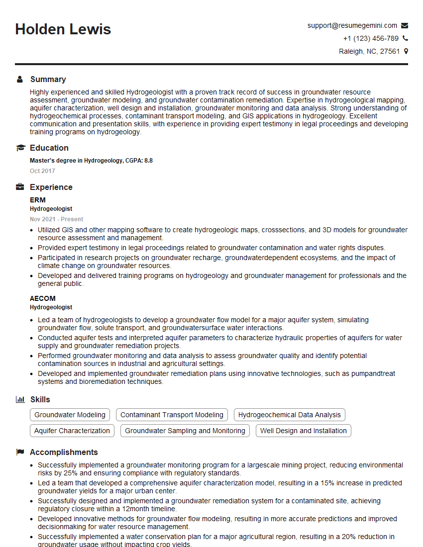
Hydrogeologist Resume Sample

Environmental Remediation Specialist Resume Sample
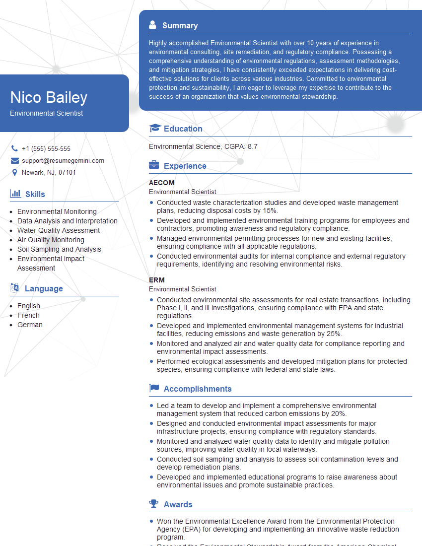
Environmental Scientist Resume Sample

Geologist Resume Sample
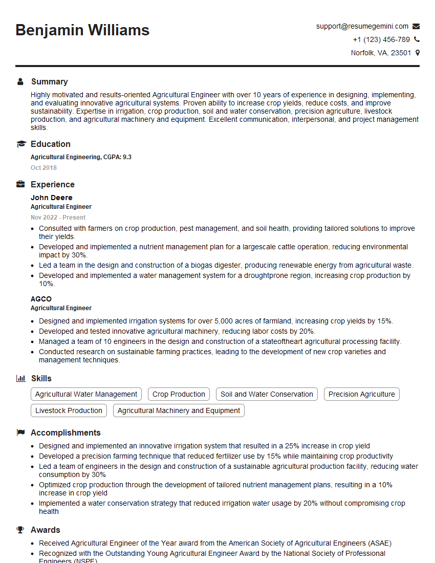
Agricultural Engineer Resume Sample

Civil Engineer Resume Sample

Geotechnical Engineer Resume Sample

Environmental Consultant Resume Sample

Agronomist Resume Sample

Soil Scientist Resume Sample

Soil Conservationist Resume Sample

Land Use Planner Resume Sample

Remote Sensing Specialist Resume Sample
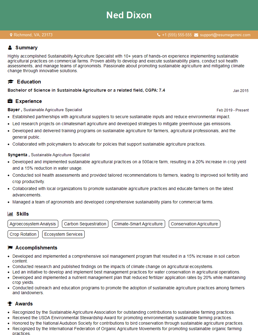
Sustainable Agriculture Specialist Resume Sample
- Construction Manager
- Hydrogeologist
- Environmental Remediation Specialist
- Environmental Scientist
- Geologist
- Agricultural Engineer
- Civil Engineer
- Geotechnical Engineer
- Environmental Consultant
- Agronomist
- Soil Scientist
- Soil Conservationist
- Land Use Planner
- Remote Sensing Specialist
- Sustainable Agriculture Specialist
Explore more articles
Users Rating of Our Blogs
Share Your Experience
We value your feedback! Please rate our content and share your thoughts (optional).
What Readers Say About Our Blog
To the interviewgemini.com Webmaster.
Very helpful and content specific questions to help prepare me for my interview!
Thank you
To the interviewgemini.com Webmaster.
This was kind of a unique content I found around the specialized skills. Very helpful questions and good detailed answers.
Very Helpful blog, thank you Interviewgemini team.