Preparation is the key to success in any interview. In this post, we’ll explore crucial Zoning Map and Text Amendments interview questions and equip you with strategies to craft impactful answers. Whether you’re a beginner or a pro, these tips will elevate your preparation.
Questions Asked in Zoning Map and Text Amendments Interview
Q 1. Explain the difference between a zoning map and zoning text amendments.
Imagine a city’s zoning regulations as a two-part instruction manual: the zoning map and the zoning text. The zoning map is the visual component – a geographic representation of the city, divided into zones with different permitted land uses (e.g., residential, commercial, industrial). It shows you where specific regulations apply. The zoning text is the written component; it contains the detailed rules and regulations for each zone, specifying allowed building heights, setbacks, density, parking requirements, and permitted uses. It explains what is allowed in each zone. They work together; the map shows the zone, and the text defines what’s allowed within that zone.
For example, the map might show a particular area zoned as ‘R-1’ (single-family residential). The zoning text would then detail the specific rules for R-1 zones, like maximum building height, minimum lot size, and allowed accessory structures.
Q 2. Describe the process for amending a zoning map.
Amending a zoning map is a formal process involving several steps. First, a proposal for the amendment is submitted, often by a property owner, developer, or community group. This proposal clearly identifies the area to be rezoned and the proposed new zoning designation. Next, the proposal undergoes a review by the planning department, assessing its consistency with the city’s comprehensive plan and other existing regulations. This might involve environmental impact assessments, traffic studies, or neighborhood impact analyses.
Following review, the proposal goes before a planning commission or similar body for a public hearing. This is a crucial step allowing affected residents and stakeholders to express their concerns or support. The commission then makes a recommendation to the legislative body (e.g., city council). The legislative body then holds its own public hearing and votes on the amendment. Finally, if approved, the amendment is officially adopted and the zoning map is updated to reflect the changes. The entire process is usually documented and publicly accessible.
Q 3. What are the common reasons for zoning map amendments?
Zoning map amendments are often driven by a variety of factors. Common reasons include:
- Development Proposals: A developer might seek a rezoning to allow for a specific project that’s incompatible with the existing zoning. For example, changing a residential zone to allow for a mixed-use development.
- Mistakes or Inconsistencies: Existing zoning may contain errors or be outdated, requiring correction through map amendments.
- Changing Community Needs: A neighborhood’s needs might evolve, necessitating zoning changes to reflect the new reality, such as increasing density to address housing shortages or rezoning for improved public transit access.
- Economic Development Initiatives: Rezoning might support economic growth by allowing specific types of businesses or industrial developments. This could involve creating an enterprise zone or incentivizing a specific industry.
- Infrastructure Improvements: New roads, utilities, or transit lines might require map amendments to align zoning with the improved infrastructure.
Q 4. How do you identify potential conflicts between a zoning map and zoning text?
Conflicts between a zoning map and zoning text arise when the map and the text don’t align, creating ambiguity or contradictions. Identifying these conflicts requires careful cross-referencing. For instance, the map might show an area zoned as ‘Commercial,’ but the text might impose restrictions inconsistent with typical commercial uses. Or the map might show a zone incorrectly.
Here’s how to identify them:
- Visual Inspection: Carefully compare the map with the text for each zone. Look for discrepancies in permitted uses, building heights, or density limits.
- Cross-Referencing: Use the map to identify a specific zone and then check the text for the corresponding regulations. Look for anything that seems contradictory.
- Case Studies: Analyze past development projects to see how interpretations of the map and text have played out. This can reveal subtle inconsistencies.
A thorough review by qualified professionals is essential to identify and resolve these conflicts to ensure clear and enforceable regulations.
Q 5. Explain the role of public participation in zoning amendment processes.
Public participation is vital in zoning amendment processes. It ensures fairness, transparency, and that the resulting changes reflect the community’s needs and concerns. Public participation typically takes place during public hearings held by the planning commission and the legislative body. Residents, businesses, and other stakeholders can:
- Provide Testimony: Share their opinions and perspectives on the proposed changes.
- Submit Written Comments: Offer detailed insights or concerns in writing.
- Participate in Community Meetings: Engage in discussions and collaborations before formal hearings.
Effective public participation requires clear communication from the authorities, sufficient time for community engagement, and responsiveness to public input.
Consider a situation where a proposed rezoning could significantly impact a neighborhood. Public input during the process allows residents to express their concerns about potential traffic increases, property values, or changes to the neighborhood character, ensuring their voices are heard before a decision is made.
Q 6. Describe the steps involved in preparing a zoning text amendment.
Preparing a zoning text amendment involves a multi-stage process:
- Identify the Need: Clearly define the problem or issue the amendment addresses. What specific changes are needed, and why?
- Drafting the Amendment: Write precise and unambiguous language, specifying the exact changes to the zoning text. This may involve modifying existing regulations or adding new ones.
- Legal Review: Ensure the amendment is legally sound, complies with existing laws, and avoids unintended consequences. Consult legal counsel if needed.
- Technical Review: Assess potential impacts on infrastructure, environment, and neighborhood character. This may require technical studies (e.g., traffic impact analysis).
- Public Consultation: Engage the public through community meetings, surveys, or online platforms to gather feedback and address concerns.
- Finalization: Incorporate feedback into the final draft and prepare all necessary supporting documentation for submission to the relevant authorities.
Imagine drafting an amendment to allow accessory dwelling units (ADUs) in a single-family residential zone. The amendment would need to clearly define what constitutes an ADU, specify size restrictions, parking requirements, and any other relevant rules to ensure clarity and avoid unintended consequences.
Q 7. What are the legal considerations when amending zoning regulations?
Amending zoning regulations involves several crucial legal considerations:
- Consistency with Existing Laws: Amendments must comply with all applicable state and federal laws, including fair housing laws, environmental regulations, and accessibility standards.
- Due Process: The amendment process must adhere to all legal requirements for public notice, hearings, and opportunities for public comment.
- Equal Protection: Amendments cannot discriminate against specific groups or individuals. They must be applied fairly and consistently.
- Takings Clause: Amendments should not unduly restrict property rights to the point of constituting a ‘taking’ requiring government compensation.
- State and Local Laws: Adherence to specific state and local statutes and case law related to zoning is critical.
For example, a zoning amendment restricting the construction of multi-family housing in a specific area might violate fair housing laws if it disproportionately impacts certain groups. A thorough legal review by qualified professionals is crucial before the adoption of any zoning changes.
Q 8. How do you ensure consistency between zoning maps and text?
Maintaining consistency between zoning maps and the zoning text is paramount for clear and enforceable land use regulations. Inconsistencies can lead to legal challenges, development delays, and community confusion. Think of it like a recipe: the map is the visual representation (the picture on the box), and the text is the detailed instructions (the ingredients and steps). Both need to perfectly align.
We ensure consistency through a rigorous cross-checking process. This involves:
- Simultaneous updates: Any change to the zoning map must be accompanied by a corresponding amendment to the zoning text, and vice versa. This often involves using Geographic Information System (GIS) software to ensure accuracy.
- Detailed review: A team, often including legal counsel and planning staff, meticulously compares the map and text to identify any discrepancies. This can involve overlaying the map on the text, checking boundary lines, and verifying designations. For example, if the map shows a parcel zoned for residential use, the text must explicitly define the permitted uses and density for that residential zone.
- Public review and comment: The proposed amendments are made available for public review and comment, providing another layer of verification and an opportunity to catch inconsistencies before formal adoption.
In essence, we treat the map and text as two sides of the same coin; they must always reflect the same regulatory framework.
Q 9. Explain the concept of ‘spot zoning’ and its implications.
Spot zoning is the practice of amending zoning regulations to benefit a single property or a small group of properties, often in a way that deviates significantly from the surrounding area’s zoning. Imagine a small residential plot suddenly being rezoned for commercial use amidst a residential neighborhood. It’s like adding a bright, flashy billboard to a quiet residential street – it stands out dramatically and may not harmonize with the neighborhood character.
The implications of spot zoning can be substantial and often controversial. It can:
- Undermine comprehensive planning: It can disrupt the overall vision and goals for land use development within a community.
- Lead to legal challenges: Spot zoning is often challenged in court because it can be seen as arbitrary and capricious, violating principles of equal treatment and due process.
- Reduce property values: Depending on the nature of the spot zoning, it might negatively impact the values of neighboring properties.
- Create inconsistencies: It can introduce inconsistencies within the zoning code, making it difficult to interpret and enforce.
Spot zoning is generally discouraged, and most jurisdictions have strict criteria that must be met before such an amendment will be considered. These criteria often involve demonstrating a compelling public benefit that outweighs the potential negative impacts.
Q 10. How do you handle appeals related to zoning map or text amendments?
Appeals related to zoning map or text amendments are handled through a formal process, usually outlined in the jurisdiction’s municipal code. This process often involves a multi-step review and potential legal proceedings.
The steps typically include:
- Filing an appeal: An individual or organization affected by the amendment can file a formal appeal with the designated authority (e.g., zoning board of appeals, planning commission).
- Review of the appeal: The appeal is reviewed by the relevant authority, which may involve hearings, public comment, and expert testimony.
- Decision-making: The authority renders a decision on the appeal, which might uphold the amendment, modify it, or overturn it.
- Judicial review (if applicable): If the appellant is unsatisfied with the authority’s decision, they may have the right to seek judicial review in a court of law. This can involve presenting evidence and legal arguments to a judge.
The specific procedures and timelines for appeals vary widely depending on the jurisdiction and the nature of the amendment. It’s crucial for those involved to understand the local rules and procedures thoroughly.
Q 11. What are the common types of zoning districts?
Zoning districts classify land uses and regulate development activities within specific geographical areas. Common types include:
- Residential: These districts are designated for residential uses, typically with varying density levels (e.g., single-family detached, multi-family residential, high-density apartments).
- Commercial: These districts accommodate businesses, ranging from small retail shops to large-scale commercial centers. They usually have regulations on building size, parking requirements, and signage.
- Industrial: These areas are designed for manufacturing, warehousing, and other industrial activities. Strict regulations often govern environmental impacts, noise levels, and hazardous materials.
- Mixed-use: These districts allow for a combination of residential, commercial, and sometimes industrial uses within the same area, aiming to create vibrant and diverse neighborhoods.
- Agricultural: These districts protect agricultural lands from development, promoting food production and open space.
- Conservation/Open Space: These districts preserve natural resources and environmental features, limiting development to protect ecological integrity.
The specific categories and their regulations can vary widely between jurisdictions, reflecting the unique needs and character of each community.
Q 12. Describe the process for evaluating the impact of a proposed zoning change.
Evaluating the impact of a proposed zoning change requires a comprehensive and multi-faceted approach. We need to consider its effects on various aspects of the community. Think of it like performing a thorough environmental impact assessment, but for urban development.
The evaluation process typically involves:
- Identifying potential impacts: This includes assessing potential impacts on traffic, infrastructure, environment, property values, public services (schools, hospitals), and community character.
- Data collection and analysis: This step involves collecting data on existing conditions and projecting future impacts using various analytical tools and models. Examples include traffic simulation models, environmental impact studies, and fiscal impact analyses.
- Public engagement: Input from residents, businesses, and other stakeholders is crucial. Public meetings, surveys, and workshops provide valuable feedback and help shape the evaluation.
- Impact assessment report: A detailed report summarizes the findings of the evaluation, including both positive and negative impacts, and suggests mitigation measures if necessary.
- Review and decision-making: Planning commissions, city councils, or other relevant authorities review the assessment report and decide whether to approve the proposed zoning change.
Thorough impact assessment ensures that zoning changes align with community goals, minimize potential harm, and maximize benefits. Without this process, zoning changes could have unforeseen and negative consequences.
Q 13. How do you use GIS technology in zoning map and text amendment processes?
GIS (Geographic Information System) technology is an indispensable tool in the zoning map and text amendment process. It allows us to visualize, analyze, and manage spatial data with unmatched efficiency and accuracy.
GIS is used for:
- Creating and maintaining zoning maps: GIS software provides a robust platform for creating, updating, and managing highly accurate zoning maps. Changes can be made precisely and visually represented.
- Analyzing spatial relationships: GIS enables the analysis of how proposed zoning changes relate to existing land uses, infrastructure, and environmental features. For instance, we can analyze proximity to schools, parks, or transportation networks.
- Simulating development scenarios: GIS can model the potential impacts of zoning changes on various aspects of the community, such as traffic flow, population density, and environmental conditions.
- Public engagement and communication: GIS-based maps and interactive tools can be used to engage the public in the zoning amendment process, making complex information easier to understand.
- Data integration and management: GIS allows us to integrate various data layers relevant to zoning, such as property ownership, tax assessments, and environmental data, creating a comprehensive database for decision-making.
In essence, GIS transforms the zoning process from a static, paper-based system into a dynamic and interactive platform, enabling informed and efficient decision-making.
Q 14. What are the key performance indicators (KPIs) for success in zoning amendment projects?
Key Performance Indicators (KPIs) for successful zoning amendment projects should measure efficiency, effectiveness, and community impact. They should also evaluate the compliance with procedural requirements and legal standards. These KPIs can be both quantitative and qualitative.
Examples include:
- Timeliness of project completion: Meeting deadlines for each stage of the amendment process.
- Number of public comments received and addressed: Demonstrates engagement and responsiveness to community concerns.
- Cost-effectiveness of the amendment process: Keeping project costs within budget.
- Level of community satisfaction: Measuring public perception of the amendment’s impact through surveys or feedback sessions.
- Number of legal challenges to the amendment: A low number indicates minimal legal risk.
- Alignment with comprehensive plan goals: Ensuring the amendment supports the long-term vision for the community.
- Increase in property values (or avoidance of decrease): Monitoring the fiscal impact of the amendment.
By tracking these KPIs, we can evaluate the success of zoning amendment projects and identify areas for improvement in future endeavors. Regular monitoring and evaluation are key for continuous improvement and efficient management of the zoning process.
Q 15. Explain your experience working with zoning boards or planning commissions.
My experience with zoning boards and planning commissions spans over 10 years, encompassing various roles from consultant to expert witness. I’ve worked extensively with boards across three different municipalities, navigating diverse projects ranging from large-scale residential developments to complex commercial rezonings. I’m intimately familiar with the procedural aspects of board meetings, including agenda preparation, public hearing management, and the decision-making process. This includes understanding the nuances of Robert’s Rules of Order and navigating differing opinions among board members to reach a consensus. For example, in one project involving a proposed mixed-use development, I successfully mediated between community concerns about increased traffic and the developer’s need for sufficient density, resulting in a mutually agreeable compromise that incorporated traffic mitigation measures into the final plan.
In another instance, I assisted a zoning board in interpreting ambiguous language within their existing zoning code related to accessory dwelling units. My analysis clarified the permissible uses and dimensional requirements, preventing potential inconsistencies in future applications.
Career Expert Tips:
- Ace those interviews! Prepare effectively by reviewing the Top 50 Most Common Interview Questions on ResumeGemini.
- Navigate your job search with confidence! Explore a wide range of Career Tips on ResumeGemini. Learn about common challenges and recommendations to overcome them.
- Craft the perfect resume! Master the Art of Resume Writing with ResumeGemini’s guide. Showcase your unique qualifications and achievements effectively.
- Don’t miss out on holiday savings! Build your dream resume with ResumeGemini’s ATS optimized templates.
Q 16. How do you interpret complex zoning regulations and apply them to specific situations?
Interpreting complex zoning regulations requires a systematic approach. I begin by meticulously reviewing the relevant zoning map and text, paying close attention to definitions, permitted uses, dimensional requirements (like setbacks, height restrictions, and lot coverage), parking stipulations, and any applicable overlays or special districts. I then cross-reference these regulations with the specific site conditions and the proposed development plans. Think of it like solving a complex puzzle; each piece of the regulation must fit with the site-specific details.
For example, if a client proposes a multi-family dwelling in a zone designated for single-family residential use, I’d investigate whether any exceptions or variances exist, or whether a zoning amendment might be necessary. I use this detailed analysis to determine compliance, identify potential conflicts, and develop strategies for addressing any issues. This might involve interpreting legal precedents or consulting relevant case law to clarify ambiguous provisions. I often utilize visual aids, such as site plans annotated with zoning requirements, to make the interpretation clear and easily understandable for all stakeholders.
Q 17. Describe your experience resolving conflicts related to zoning regulations.
Conflict resolution in zoning matters often involves skillful negotiation and mediation. My approach centers on understanding the concerns of all parties involved – developers, residents, businesses, and the zoning board itself. I facilitate open communication, aiming to find common ground and mutually agreeable solutions. This often involves presenting objective analyses of the zoning regulations, offering alternative solutions, and highlighting the potential benefits and drawbacks of different approaches.
In one case, a proposed commercial development sparked concerns from neighboring residents about noise and traffic. I worked with the developer to incorporate sound barriers and improved traffic flow measures, addressing community concerns while still allowing the project to proceed. In another instance, I successfully resolved a dispute between two property owners over shared access rights by carefully analyzing the zoning regulations and property lines, ultimately leading to a legally sound and amicable agreement.
Q 18. How do you stay up-to-date on changes in zoning laws and regulations?
Staying current with zoning law changes is critical. I actively monitor several key sources, including legislative updates at the state and local levels, professional journals (such as those published by the American Planning Association), and legal databases. I subscribe to relevant newsletters and attend continuing education courses and conferences offered by planning organizations. Furthermore, I maintain close relationships with colleagues and experts in the field, exchanging information and insights. This continuous learning ensures I remain informed about significant changes, case law developments, and best practices in zoning law.
Specific examples of resources I routinely use include online legal databases, professional associations’ websites, and local government websites featuring zoning updates and upcoming board meetings.
Q 19. Explain your experience in preparing presentations and reports on zoning matters.
I have extensive experience preparing presentations and reports for zoning boards, planning commissions, and community stakeholders. My presentations are clear, concise, and visually engaging, utilizing maps, charts, and photographs to convey complex information effectively. I tailor the presentation’s level of detail to the audience, ensuring everyone understands the key issues and proposed solutions. My reports are meticulously researched and documented, providing comprehensive analyses of zoning regulations, site conditions, and potential impacts. I pay particular attention to clarity and structure, using headings, subheadings, and bullet points to enhance readability.
For instance, I recently prepared a comprehensive report detailing the potential environmental impacts of a proposed commercial development, including a detailed traffic study and analysis of its conformity with local environmental regulations. This report played a crucial role in securing the necessary approvals for the project.
Q 20. What are the best practices for managing zoning amendment projects?
Effective zoning amendment project management relies on a structured, phased approach. This typically includes: 1. Initiation: Clearly define project goals, scope, and timeline. This involves careful review of existing zoning regulations and identification of specific areas needing amendment. 2. Analysis: Conduct thorough research, analyzing the impacts of proposed changes on surrounding properties and the broader community. This often involves community outreach and stakeholder engagement. 3. Drafting: Prepare detailed amendment documents, including maps and explanatory text, ensuring clarity and compliance with legal requirements. 4. Review and Approval: Submit documents to the relevant authorities for review, addressing any feedback and making necessary revisions. 5. Implementation: Once approved, ensure the amendment is correctly implemented and reflected in the official zoning code and maps.
Crucially, throughout the project, clear and consistent communication with all stakeholders – the applicant, the zoning board, and the public – is paramount. This minimizes misunderstandings and facilitates a smoother approval process.
Q 21. How do you prioritize multiple zoning amendment projects simultaneously?
Prioritizing multiple zoning amendment projects requires careful planning and resource allocation. I employ a project management system that allows me to track progress, deadlines, and dependencies across projects. I use a prioritization matrix based on factors such as urgency, impact, complexity, and client needs. High-impact, time-sensitive projects naturally take precedence. This involves clearly defining milestones for each project, assigning resources effectively, and regularly monitoring progress to ensure deadlines are met. This matrix approach allows for a flexible and adaptable strategy, accommodating unforeseen delays or changes in project scope.
For example, if I have a high-priority project with an impending deadline alongside a less urgent project, I allocate more resources and attention to the former, while ensuring that the latter still receives appropriate attention and progresses steadily. Regular check-ins and progress reports help me maintain oversight and make any necessary adjustments to the project schedules.
Q 22. Describe a challenging zoning project and how you overcame the challenges.
One particularly challenging project involved amending the zoning regulations for a historic waterfront district. The goal was to revitalize the area while preserving its unique character. The challenge stemmed from balancing the desires of developers seeking higher density and increased commercial activity with the concerns of residents who wanted to maintain the area’s low-key, residential feel and prevent overdevelopment. We overcame this by implementing a phased approach. First, we held extensive community meetings, employing facilitated workshops to gather diverse perspectives and identify common ground. We then used GIS mapping to visualize different development scenarios, allowing stakeholders to see the potential impacts of various zoning changes. This visual representation was crucial in fostering consensus. Finally, we crafted a zoning amendment that incorporated density bonuses for developers incorporating green building practices and public amenities, directly addressing resident concerns while encouraging sustainable development. The amendment included specific design guidelines to maintain the historic aesthetic, further appeasing the residents. The final product resulted in a revitalized waterfront area, respecting both economic growth and the community’s wishes.
Q 23. What is your approach to communicating complex zoning information to non-technical audiences?
Communicating complex zoning information to non-technical audiences requires a multi-faceted approach. I begin by simplifying the jargon. Instead of saying “conditional use permit,” I’ll explain it as “a special permission needed for a project that doesn’t perfectly fit the usual rules.” I use visuals extensively – maps, charts, and infographics – to make the information more accessible. I also employ analogies and real-world examples. For instance, to explain setbacks, I might compare them to the minimum distance you need to keep your house away from the property line. Furthermore, I tailor my communication style to the audience. For a public meeting, I’ll use clear and concise language, avoiding technical terms. For a developer, I’ll provide more detailed information relevant to their project. Finally, interactive elements like Q&A sessions and hands-on map exercises are invaluable in engaging the audience and ensuring comprehension.
Q 24. How do you incorporate stakeholder input into the zoning amendment process?
Stakeholder input is critical for successful zoning amendments. My approach starts with proactive outreach. This involves identifying all relevant stakeholders – residents, businesses, developers, environmental groups, etc. – and engaging them early in the process. We use diverse methods to gather input, including public forums, online surveys, targeted focus groups, and individual meetings. For example, when dealing with a proposed development that might impact traffic, we may host a meeting with local transportation officials and residents to discuss potential solutions and mitigation strategies. We carefully document all feedback and analyze it to identify common themes and concerns. This data then informs the drafting of the zoning amendment, ensuring that it reflects the needs and concerns of the community. Transparency throughout the process is key; regular updates and clear communication about decision-making keep stakeholders informed and engaged.
Q 25. Explain your understanding of environmental regulations related to zoning.
Environmental regulations are inextricably linked to zoning. Zoning ordinances often incorporate requirements to protect natural resources and mitigate environmental impacts. These regulations may address issues like stormwater management, floodplains, wetlands protection, endangered species habitat, and air quality. For example, a zoning amendment might require developers to implement green infrastructure practices like rain gardens to manage stormwater runoff. Other regulations might restrict development in environmentally sensitive areas or mandate certain building designs to minimize energy consumption. Understanding these environmental regulations is crucial in ensuring that zoning decisions are environmentally sound and compliant with all applicable laws. Collaboration with environmental agencies and experts is essential throughout the process to ensure compliance and incorporate best practices for environmental protection.
Q 26. How do you ensure the accuracy and completeness of zoning maps and texts?
Ensuring the accuracy and completeness of zoning maps and texts is paramount. We utilize a Geographic Information System (GIS) to maintain our zoning maps. This allows for precise mapping and data management. Regular updates are crucial, incorporating changes resulting from new amendments, development approvals, and corrections. A rigorous quality control process is in place, involving multiple levels of review and verification. This includes cross-referencing the digital maps with the written text of the zoning ordinances to ensure consistency. We also conduct regular field surveys to validate the accuracy of the mapped information. Furthermore, we maintain a version control system to track all changes and revisions to the maps and texts, allowing for easy retrieval of past versions if needed. Public access to this information, often through an online portal, ensures transparency and facilitates community engagement.
Q 27. Describe your experience working with different stakeholders (developers, residents, etc.) on zoning matters.
Working with diverse stakeholders requires strong communication and negotiation skills. I have extensive experience working with developers, residents, businesses, environmental groups, and government agencies. With developers, the focus is on understanding their project goals while ensuring compliance with zoning regulations. With residents, the priority is addressing their concerns about potential impacts on their neighborhoods, like traffic or property values. We find common ground by emphasizing mutual benefit; for example, showing how a development could enhance community amenities or improve local infrastructure. With environmental groups, the focus is on finding sustainable development solutions that minimize environmental impacts. Successful collaboration necessitates active listening, empathy, and a willingness to compromise and find mutually acceptable solutions. The ability to navigate differing interests and facilitate productive dialogue is essential.
Q 28. What are your strengths and weaknesses in terms of zoning map and text amendment expertise?
My strengths include a deep understanding of zoning principles, GIS mapping technology, and effective stakeholder engagement. I excel at translating complex technical information into clear and concise language, facilitating communication between technical experts and non-technical audiences. I also possess strong analytical and problem-solving skills, allowing me to effectively navigate complex zoning challenges. A potential area for improvement is my experience with certain specialized zoning aspects, such as those related to large-scale infrastructure projects. While I possess a strong foundational knowledge, further training in this area would enhance my expertise. I actively seek opportunities for professional development to continually expand my knowledge and skillset.
Key Topics to Learn for Zoning Map and Text Amendments Interview
- Understanding Zoning Regulations: Mastering the foundational principles of zoning ordinances, including their purpose, legal basis, and enforcement.
- Map Interpretation and Analysis: Developing proficiency in reading and interpreting zoning maps, identifying different zoning districts, and understanding their associated regulations.
- Text Amendment Processes: Gaining a thorough understanding of the procedures involved in proposing, reviewing, and approving zoning text amendments, including public hearings and legal considerations.
- Impact Assessment and Analysis: Learning how to assess the potential impacts of zoning map and text amendments on the surrounding environment, community, and property values. This includes understanding environmental impact studies and community engagement processes.
- Legal Frameworks and Case Law: Familiarizing yourself with relevant legal precedents and case law related to zoning disputes and challenges to zoning decisions.
- Practical Application: Scenario Planning: Practice analyzing hypothetical scenarios involving zoning map and text amendments, including identifying potential conflicts and proposing solutions.
- Technological Applications: Explore the use of GIS (Geographic Information Systems) and other technologies in zoning map analysis and amendment processes.
- Communication and Collaboration: Understanding the importance of clear and effective communication with stakeholders, including developers, community members, and government officials, throughout the amendment process.
Next Steps
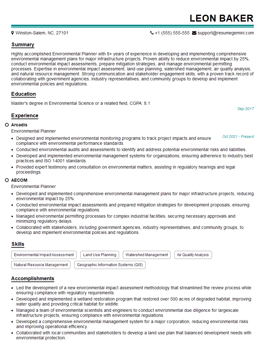
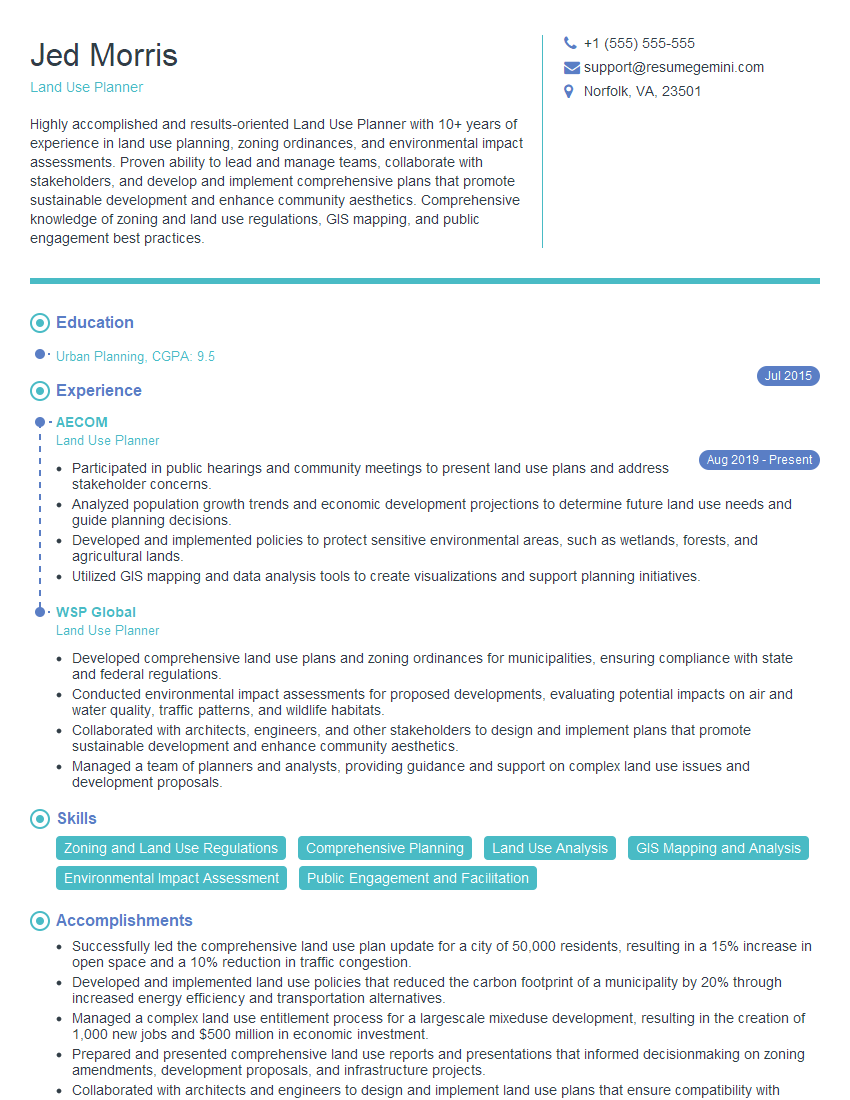
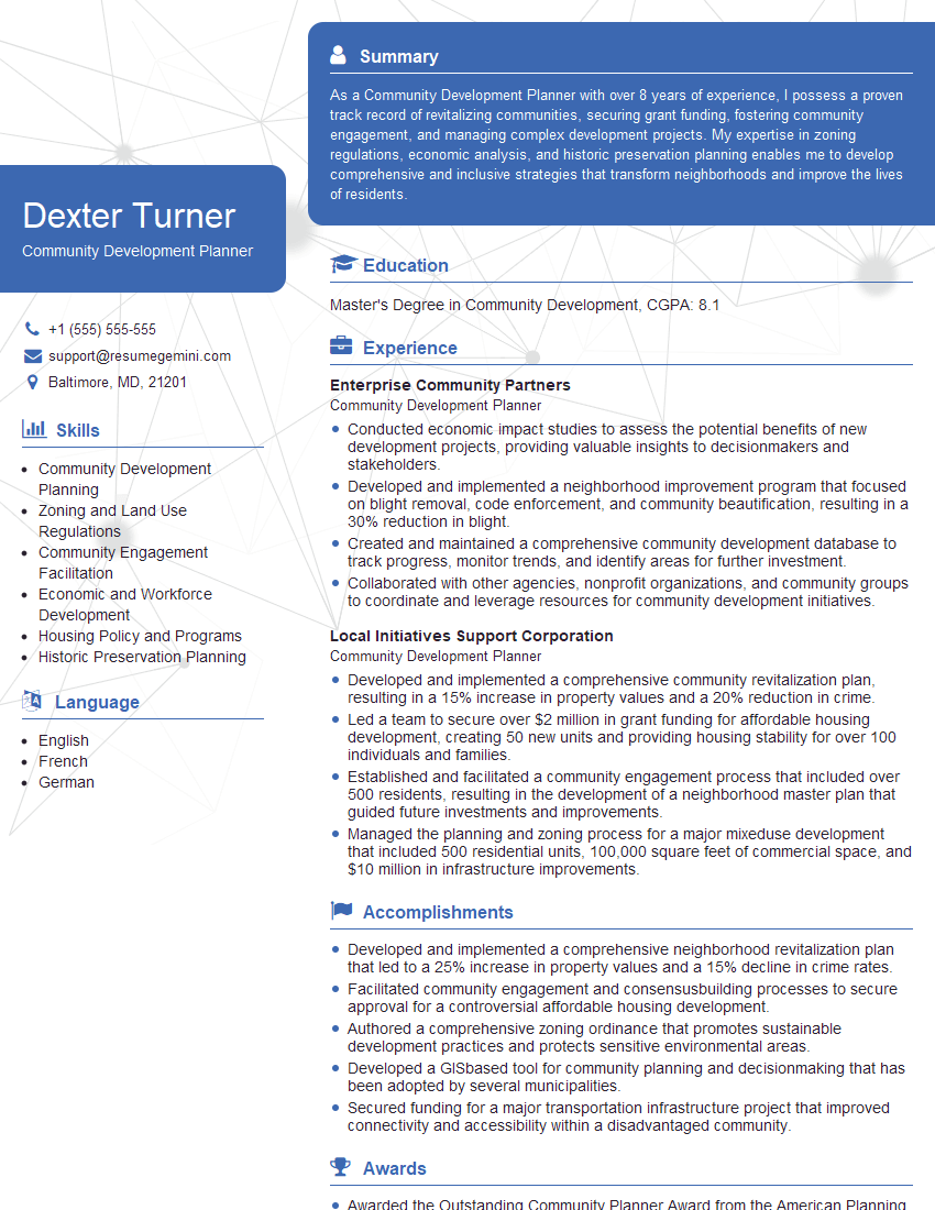
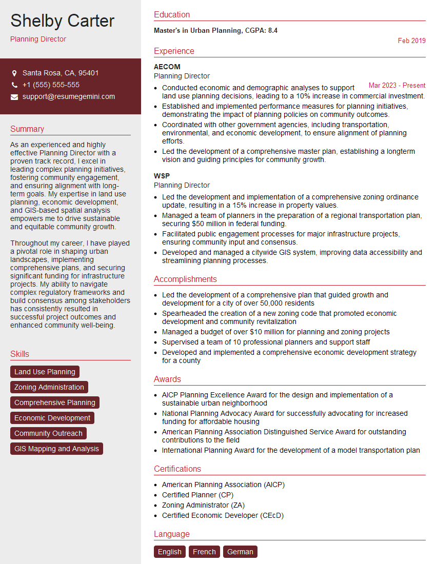
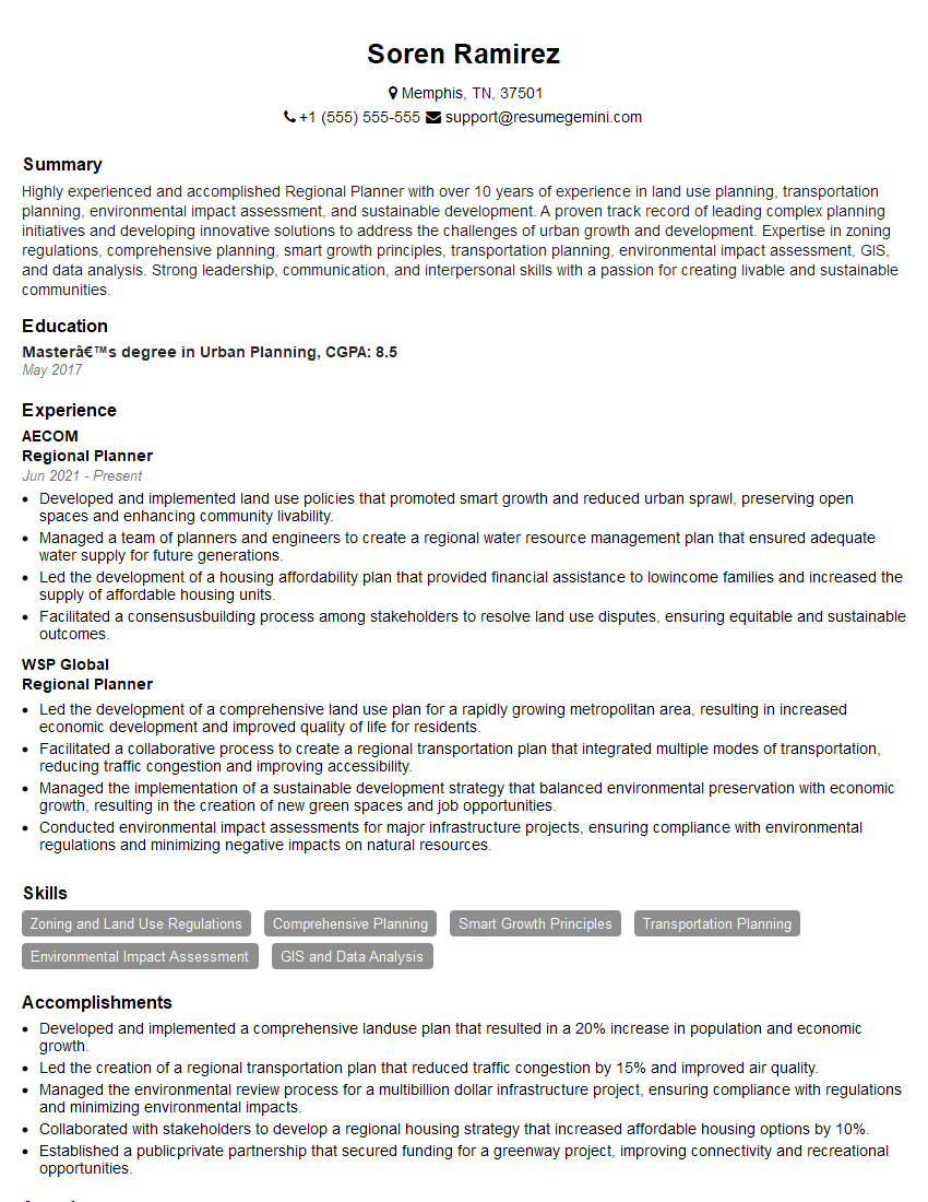
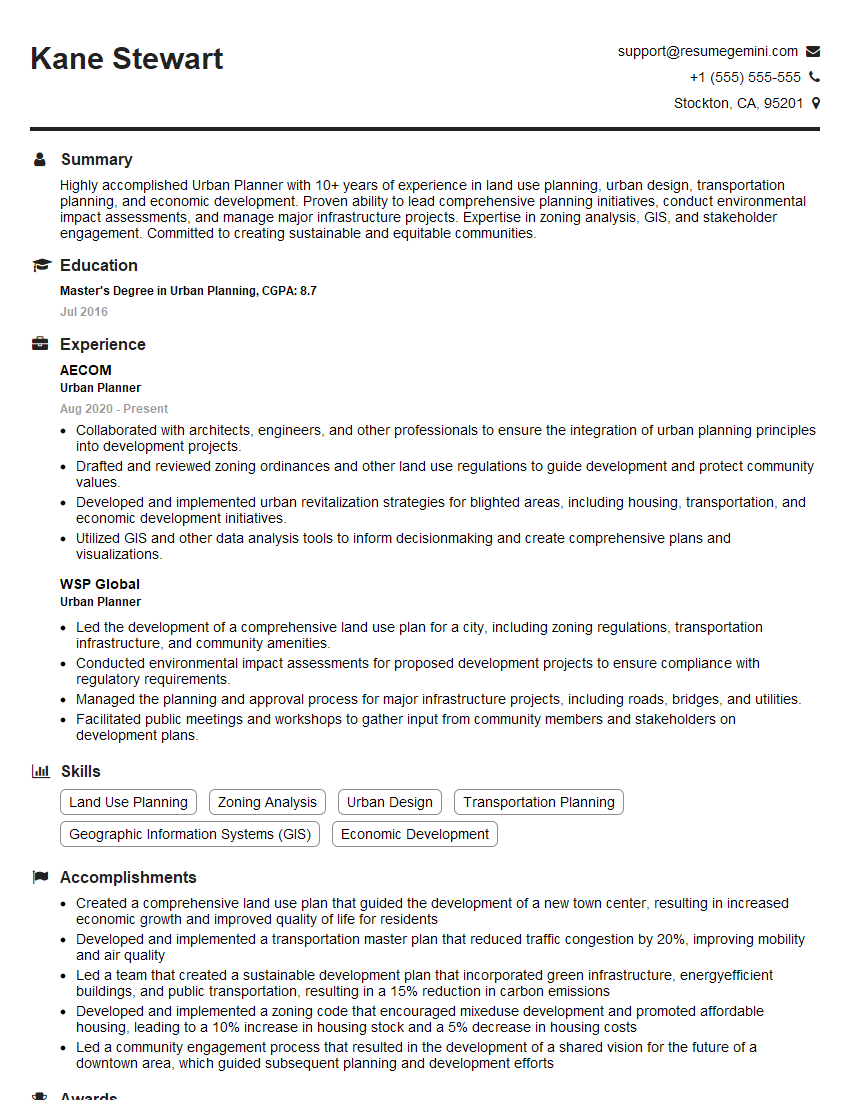
Mastering Zoning Map and Text Amendments is crucial for advancement in urban planning, land development, and related fields. A strong understanding of these concepts demonstrates your expertise and problem-solving abilities, significantly enhancing your job prospects. To maximize your chances of securing your dream role, create a compelling and ATS-friendly resume that highlights your relevant skills and experience. Use ResumeGemini to build a professional resume that showcases your qualifications effectively. ResumeGemini offers examples of resumes tailored to Zoning Map and Text Amendments to help guide you in creating your own impactful document. Let your expertise shine!
Explore more articles
Users Rating of Our Blogs
Share Your Experience
We value your feedback! Please rate our content and share your thoughts (optional).
What Readers Say About Our Blog
To the interviewgemini.com Webmaster.
Very helpful and content specific questions to help prepare me for my interview!
Thank you
To the interviewgemini.com Webmaster.
This was kind of a unique content I found around the specialized skills. Very helpful questions and good detailed answers.
Very Helpful blog, thank you Interviewgemini team.