Interviews are more than just a Q&A session—they’re a chance to prove your worth. This blog dives into essential Zoning Map Creation and Maintenance interview questions and expert tips to help you align your answers with what hiring managers are looking for. Start preparing to shine!
Questions Asked in Zoning Map Creation and Maintenance Interview
Q 1. Explain the different types of zoning maps and their applications.
Zoning maps are visual representations of land use regulations within a jurisdiction. Different types cater to various needs and audiences. Common types include:
- Base Zoning Maps: These are the fundamental maps showing the zoning districts (e.g., residential, commercial, industrial) across the entire area. They’re like the foundational blueprint for land use. Think of it as a large-scale overview of permitted uses.
- Overlay Zoning Maps: These maps add extra layers of regulations on top of the base map. For example, a flood plain overlay might restrict building heights or types in flood-prone areas, while a historic district overlay might impose design restrictions on buildings. They’re like specific rules applied to certain zones within the base map.
- Interactive Zoning Maps (Web-based): These are digital versions, often incorporated into Geographic Information Systems (GIS), offering features like zooming, searching by address, and displaying detailed information about specific parcels. They are user-friendly and accessible compared to traditional paper maps.
- Thematic Zoning Maps: These highlight specific zoning aspects, such as building height limits, density restrictions, or parking requirements. This helps users focus on a particular aspect of the regulations, making them easier to understand.
Applications range from urban planning and development review to real estate transactions and environmental impact assessments. For example, a developer uses them to determine permissible building heights and density for a proposed project, while a homeowner might check if a specific use, like a home-based business, is allowed in their zone.
Q 2. Describe your experience with GIS software used for zoning map creation (e.g., ArcGIS, QGIS).
I have extensive experience using both ArcGIS and QGIS for zoning map creation and maintenance. In ArcGIS, I’m proficient in using geodatabases to manage the spatial and attribute data, employing tools like the Geoprocessor to automate tasks, and leveraging its robust analysis capabilities for identifying overlaps or errors. I’ve used ArcMap for editing and creating maps suitable for print publication and ArcGIS Pro for its enhanced 3D capabilities and better performance with large datasets. With QGIS, I appreciate its open-source nature and its ability to handle various data formats seamlessly. I’ve utilized its digitizing and editing tools to create and update zoning boundaries and its styling capabilities to present information clearly and effectively on the map.
For instance, in one project, we used ArcGIS to integrate parcel data with zoning regulations. Then we used QGIS to perform spatial analysis to ensure there weren’t any discrepancies between the physical land boundaries and the legally defined zoning districts.
Q 3. How do you ensure accuracy and consistency in zoning map data?
Accuracy and consistency are paramount in zoning map data. To ensure both, I follow a multi-pronged approach:
- Data validation: I utilize GIS tools to identify spatial inconsistencies such as overlaps or gaps in zoning polygons. Attribute data is checked for errors such as misspellings or conflicting values.
- Regular data quality checks: Periodic audits are conducted to ensure data remains consistent with the most current zoning ordinances. This may involve comparing the map data with the legal documents.
- Version control: Using a version control system allows for tracking changes, facilitating rollbacks if necessary and providing a clear audit trail of modifications. This helps prevent accidental overwrites or unintended consequences of edits.
- Metadata management: Detailed metadata describing the data sources, creation dates, and update history enhance transparency and reliability. It acts as a kind of ‘data dictionary’ for the map.
- Peer review: Having another expert review the map helps catch errors before dissemination. A fresh pair of eyes often spots things easily missed by the original creator.
Imagine building a house – you wouldn’t start constructing without checking the foundation. Similarly, thorough data validation ensures a reliable and accurate zoning map.
Q 4. What are the common data sources used for creating and updating zoning maps?
Creating and updating zoning maps relies on various data sources, including:
- Official Zoning Ordinances: The legal documents defining zoning regulations are the primary source; they dictate the boundaries and restrictions.
- Parcel Data: This provides the property boundaries, essential for accurately representing zoning areas. This is usually obtained from the County Assessor’s office.
- Base Maps: High-resolution imagery and topographic data provide a framework for creating the map and ensuring spatial accuracy.
- Aerial Photography and LiDAR: Aerial photos and LiDAR data offer detailed ground features assisting in identifying physical features that may influence zoning boundaries.
- GIS Data from Other Agencies: Data from other agencies, such as transportation departments or environmental agencies, may contain information relevant to zoning decisions, like easements or floodplains.
Each source plays a crucial role in the creation of a complete and accurate zoning map. For instance, without accurate parcel data, zoning districts could be incorrectly assigned to properties, leading to legal disputes.
Q 5. Explain your process for identifying and resolving inconsistencies in zoning data.
Inconsistencies in zoning data are addressed through a systematic process:
- Identify Inconsistencies: Spatial analysis tools within GIS software (like ArcGIS or QGIS) are used to identify errors such as overlapping polygons, gaps in coverage, or attribute discrepancies.
- Verify with Source Documents: Identified inconsistencies are verified against official zoning ordinances, parcel data, and other reliable sources. This step is crucial to ensure that the correction reflects the correct legal definition.
- Document and Correct Errors: Corrections are documented meticulously, including the date of the correction, the nature of the error, and the steps taken to resolve it. This creates an audit trail, vital for accountability and transparency. Corrections are made within the GIS database.
- Review and Validation: The corrected data undergoes a thorough review to ensure the changes are accurate and consistent with the existing data. This might involve a peer review process.
- Update Map and Metadata: The zoning map is updated to reflect the corrections, and metadata is updated to reflect these changes.
Think of it like editing a document – you need to verify the changes against the original before saving, and keep a record of all revisions.
Q 6. How do you handle updates and revisions to zoning ordinances and their reflection on the map?
Updates and revisions to zoning ordinances require a precise and timely reflection on the zoning map. My process involves:
- Obtain Official Amendments: The first step is to obtain the official documents detailing the ordinance changes. This ensures accuracy and compliance with the law.
- Analyze Changes: These amendments are carefully analyzed to understand their impact on existing zoning boundaries and regulations. This might involve identifying new zones, changes in permitted uses, or adjustments to building height restrictions.
- Update GIS Data: The GIS database is updated to reflect the new zoning regulations. This includes modifying polygon boundaries, updating attribute tables, and adding any new zoning categories.
- Quality Control: Thorough quality control checks are performed to ensure that the changes have been implemented correctly and consistently across the entire map. This could involve using GIS tools to detect errors such as overlaps or gaps.
- Republish the Map: Finally, the updated zoning map is republished and disseminated to relevant stakeholders. This might involve updating online maps, generating new printed maps, and notifying affected parties.
Think of it like updating a software program – you need to test thoroughly after applying updates to ensure everything functions correctly.
Q 7. Describe your experience with data projection and coordinate systems in the context of zoning maps.
Data projection and coordinate systems are fundamental to accurate zoning map creation. The projection defines how three-dimensional Earth coordinates are represented on a two-dimensional map, while the coordinate system provides a reference framework for location. Incorrect choices can lead to significant errors in boundary locations and distances.
For zoning maps, I typically work with projected coordinate systems, like State Plane Coordinate Systems (SPCS) in the US, or UTM (Universal Transverse Mercator). These minimize distortion within the area covered by the map. I always ensure the selected coordinate system is appropriate for the geographical area and the scale of the map. Metadata clearly documents the projection and coordinate system used, allowing others to correctly interpret and use the data.
For instance, a project spanning multiple counties might require utilizing different State Plane Coordinate Systems for each county, which are then seamlessly integrated using a common geodetic datum. Ignoring this can lead to noticeable inaccuracies, especially in areas where the curvature of the earth is more pronounced.
A strong understanding of these concepts ensures that the map accurately reflects the real-world location and boundaries of zoning districts, avoiding misinterpretations that can lead to legal or development issues.
Q 8. How do you manage version control for zoning map data?
Version control for zoning map data is crucial for maintaining accuracy, tracking changes, and facilitating collaboration. Think of it like the ‘undo’ button for a complex document, but much more robust. We employ a Geographic Information System (GIS) database with robust versioning capabilities, often using a system like ArcGIS Pro or QGIS. Each change, whether it’s a rezoning, a correction, or an update to parcel boundaries, is logged as a new version. This allows us to easily revert to previous versions if necessary, understand the history of changes, and even compare different versions side-by-side to see the impact of specific alterations. For example, if a mistake is made in a recent update, we can simply revert to the previous stable version and re-evaluate the change. We also use a detailed change log, documenting each version’s modifications, the date, the responsible party, and the rationale behind the changes. This is critical for auditing and ensuring transparency.
Q 9. Explain your understanding of zoning regulations and their impact on map creation.
Zoning regulations are the legal rules that dictate how land can be used within a specific jurisdiction. These regulations define allowable land uses (residential, commercial, industrial, etc.), building heights, density, setbacks, and parking requirements. They directly impact map creation because the zoning map is the visual representation of these regulations. Every line, polygon, and symbol on the map corresponds to a specific zoning designation defined in the regulations. For instance, a residential zone might be represented by a specific color or pattern, indicating allowable building types and densities. Without the regulations, the zoning map is meaningless; the regulations are the source of truth that inform the map’s content. Any changes to the zoning regulations necessitate corresponding updates to the zoning map to ensure accuracy and legal compliance. For example, if a city council approves a new ordinance rezoning an area from commercial to residential, that change must be reflected immediately in the zoning map.
Q 10. How do you ensure the accessibility and usability of zoning maps to the public?
Accessibility and usability are paramount. We ensure public access through multiple channels. Firstly, a user-friendly online map viewer is essential, ideally integrated with a search function allowing users to input an address or parcel ID to locate the applicable zoning information. Secondly, we offer the map data in various formats (e.g., shapefiles, GeoJSON, KML) to allow users to download and integrate the data into their own systems. Thirdly, we create printed copies of the zoning map at various scales for those who prefer physical access. Clear legends, straightforward symbology, and well-structured online documentation (FAQs, tutorials) enhance usability. For example, the color scheme should be intuitive, and icons should clearly represent different zoning categories. Providing the map in multiple languages is crucial for inclusive access.
Q 11. Describe your experience with creating and maintaining a zoning map database.
My experience includes managing and updating zoning map databases using ArcGIS, a leading GIS software. This involved data entry, spatial analysis, and regular updates. A typical workflow starts with importing basemap data (roads, parcels), then overlaying zoning polygons from legal descriptions and ordinances. Data quality checks are ongoing to ensure consistency and accuracy. For example, we regularly compare the database to official records to identify discrepancies and update accordingly. We also use spatial analysis tools to identify potential errors such as overlapping zones or gaps in coverage. The database allows for efficient querying and reporting, for example, quickly generating reports on total zoned acreage for a particular land use category.
Q 12. What techniques do you use to ensure the map’s clarity and readability?
Clarity and readability are achieved through careful design choices. A well-designed legend is crucial, using clear symbols and labels. Color schemes should be distinguishable for colorblind individuals and visually appealing, using a consistent and logical system. Text should be legible at various scales. We avoid visual clutter by using hierarchical labeling, focusing on clear lines and minimizing unnecessary detail. For example, we might use different line weights to distinguish major roads from minor streets. Appropriate scale selection is crucial for readability; a map showing too much detail can be overwhelming, while one showing too little can lack necessary precision. The use of readily accessible fonts and consistent styling throughout the map are also vital.
Q 13. How do you deal with complex zoning scenarios involving overlapping jurisdictions or exceptions?
Complex scenarios are handled using a hierarchical approach. Overlapping jurisdictions require careful attention to priority rules defined in legal documents. We employ overlay analysis in GIS to determine which zone takes precedence in an area of overlap, clearly indicating these areas on the map and documenting the relevant regulations in the accompanying documentation. Exceptions, such as variances or conditional use permits, are represented using point or polygon features that overlay the base zoning. These exceptions are clearly labeled and documented with details on the specific regulations or conditions. For example, a small area might be zoned for residential use but have a variance allowing for a small commercial structure. The map would show both residential and commercial designations, with a clear explanation of the exception.
Q 14. What quality assurance measures do you implement for zoning map creation and maintenance?
Quality assurance is an ongoing process. We perform regular data checks, validating the map data against source documents (ordinances, surveys, plats). Spatial checks, including topology checks (checking for errors like gaps and overlaps), are automated using GIS software. Visual inspections by multiple team members are crucial to identify potential errors. We also involve external reviews from relevant stakeholders (planning departments, legal teams) to ensure accuracy and compliance. Formalized processes with clearly defined steps for updating the database and approving changes minimize errors and maintain consistency. Finally, periodic audits ensure continued compliance with established standards and best practices.
Q 15. How do you handle errors or discrepancies in zoning data?
Handling errors and discrepancies in zoning data is crucial for maintaining the accuracy and reliability of zoning maps. My approach involves a multi-step process. First, I meticulously review the data using both automated checks (e.g., spatial analysis tools identifying overlapping polygons or illogical attribute values) and manual visual inspection. Second, I investigate the source of the error. This might involve checking original source documents, comparing to aerial imagery, or consulting with relevant stakeholders such as city planners or field surveyors. Third, I implement corrective actions, which could involve data correction, data reconciliation, or flagging areas for further investigation if the discrepancy can’t be immediately resolved. I carefully document all changes made, including the nature of the error, the corrective action, and the date of correction. For example, discovering a parcel incorrectly zoned as residential when it’s clearly designated as commercial in city records would require updating the database and referencing the original documentation to support the change. This rigorous process ensures the integrity and legal soundness of the zoning map.
Career Expert Tips:
- Ace those interviews! Prepare effectively by reviewing the Top 50 Most Common Interview Questions on ResumeGemini.
- Navigate your job search with confidence! Explore a wide range of Career Tips on ResumeGemini. Learn about common challenges and recommendations to overcome them.
- Craft the perfect resume! Master the Art of Resume Writing with ResumeGemini’s guide. Showcase your unique qualifications and achievements effectively.
- Don’t miss out on holiday savings! Build your dream resume with ResumeGemini’s ATS optimized templates.
Q 16. Describe your experience with using spatial analysis tools for zoning map analysis.
Spatial analysis tools are fundamental to my workflow. I extensively use Geographic Information Systems (GIS) software, such as ArcGIS or QGIS, to perform various analyses. For example, I leverage tools like overlay analysis to identify areas where zoning designations conflict with other spatial data layers, like environmental regulations or transportation networks. Buffer analysis helps to determine the impact of proposed zoning changes on neighboring properties. Network analysis is used to assess accessibility and connectivity in relation to zoning designations. Spatial queries help to quickly locate parcels with specific zoning attributes. For instance, I might use a query to identify all parcels zoned for multi-family housing within a half-mile radius of a proposed light-rail station. These analyses provide valuable insights that inform decision-making during zoning map creation and updates, ensuring efficient and effective land-use planning.
Q 17. How do you incorporate public feedback and comments during zoning map updates?
Public participation is vital for creating zoning maps that reflect community needs and priorities. I incorporate public feedback through various channels. This commonly includes public hearings, online surveys, and interactive mapping platforms where citizens can directly comment on proposed zoning changes. Each comment is carefully reviewed and documented. A summary of public input, including both supportive and opposing views, is compiled and presented to decision-makers. Where appropriate, changes are made to the zoning map to address valid concerns and reflect public consensus. For example, strong community opposition to a proposed high-density development might lead to revisions in the zoning map, perhaps incorporating lower density zoning or stricter building height limitations. Transparency and open communication are key throughout this process to build trust and ensure a fair and equitable outcome.
Q 18. What are your experiences with different map scales and their implications for zoning maps?
Map scale significantly impacts the level of detail and accuracy represented in a zoning map. Large-scale maps (e.g., 1:1000) show more detail and are ideal for representing individual parcels and their specific zoning classifications. Small-scale maps (e.g., 1:100,000) offer a broader overview, suitable for showing general zoning patterns across a larger area but with less detail on individual properties. The choice of scale depends on the intended use of the map. For example, a detailed zoning map for a specific neighborhood would utilize a large scale, while a regional overview of zoning would employ a small scale. I have experience working with various scales and understand the trade-offs between detail and area coverage. Inconsistent scales can lead to errors and inaccuracies; therefore, careful consideration is necessary to select an appropriate scale for each project.
Q 19. How do you maintain the integrity and security of zoning map data?
Maintaining the integrity and security of zoning map data is paramount. My approach includes implementing robust data management practices, version control, and access control measures. Data is regularly backed up to prevent data loss. Access to the data is restricted to authorized personnel, using secure login credentials and role-based access control. Data updates are carefully documented and versioned, allowing for easy tracking of changes and reversibility if necessary. Furthermore, data validation checks are implemented to identify and prevent errors. Regular audits are also conducted to ensure the integrity and security of the data are consistently maintained. Employing appropriate cybersecurity practices is crucial to protect against unauthorized access or modification of sensitive zoning information.
Q 20. How familiar are you with zoning regulations and their legal implications?
I possess a strong understanding of zoning regulations and their legal implications. My experience involves working closely with legal professionals and interpreting zoning ordinances to ensure the accuracy and compliance of zoning maps. I am familiar with the legal processes involved in zoning changes, including public hearings, appeals, and court challenges. I understand the importance of adhering to legal requirements in the creation and maintenance of zoning maps to minimize legal risks and ensure compliance with all applicable laws. For example, I am well-versed in understanding how zoning regulations impact property rights and development potential, and I can help stakeholders navigate these legal complexities. Accuracy and compliance are critical, as zoning maps often serve as legal documents in land-use decisions.
Q 21. Describe your experience with working with different data formats (shapefiles, geodatabases, etc.)
I am proficient in working with various data formats commonly used in GIS, including shapefiles, geodatabases (file and enterprise), and other spatial data formats. My experience includes converting data between different formats as needed for specific projects or applications. I understand the strengths and weaknesses of each format. For example, shapefiles are simple and widely compatible, but they lack the relational database capabilities of geodatabases, which are better for managing complex attributes and relationships among features. I am also comfortable working with raster data formats such as GeoTIFF for incorporating aerial imagery and elevation data into the analysis. My ability to seamlessly work with multiple data formats ensures that I can effectively integrate different data sources into the zoning map creation and maintenance process, ensuring data accuracy and completeness.
Q 22. Explain your experience with GPS data and its integration into zoning maps.
GPS data is crucial for accurate and up-to-date zoning maps. We integrate it by using GPS coordinates to geo-reference property boundaries, land parcels, and zoning district lines. This allows us to move beyond simply drawing lines on a map to representing real-world locations with precision. Imagine trying to build a house – you wouldn’t want your foundation to be off by even a few feet! Similarly, precise GPS coordinates ensure that zoning information corresponds exactly to its physical location.
For example, we use software like ArcGIS to import GPS data in various formats (e.g., shapefiles, GPX files) and then overlay it onto existing base maps. We meticulously check for discrepancies and perform quality control checks to ensure the data’s accuracy. We’ll often cross-reference GPS data with other sources like deeds and survey information to confirm boundaries and identify any potential errors.
Furthermore, advancements in high-precision GPS technologies, such as RTK (Real-Time Kinematic) GPS, allow us to achieve centimeter-level accuracy, significantly improving the detail and reliability of zoning maps, particularly in complex urban areas.
Q 23. How do you prioritize tasks when managing multiple zoning map updates?
Prioritizing zoning map updates requires a systematic approach. We employ a tiered system based on urgency, impact, and legal considerations. Think of it like triage in a hospital: the most critical cases get immediate attention.
- High Priority: These involve immediate needs, such as emergency zoning changes following a natural disaster or court-ordered modifications impacting public safety or vital infrastructure. These are typically handled first.
- Medium Priority: These include routine updates reflecting approved development plans, significant changes in land use regulations, or corrections identified through public feedback or internal audits. A project management system helps track these and assign deadlines.
- Low Priority: These are typically minor corrections, updates to metadata, or routine maintenance tasks, often scheduled for times when there are fewer high-priority demands.
We use a project management software that allows us to assign tasks, set deadlines, and monitor progress, ensuring transparency and accountability. This allows for effective tracking and prioritization of tasks across multiple projects simultaneously.
Q 24. Describe your understanding of metadata and its importance in zoning map management.
Metadata is the descriptive information about zoning map data, akin to a detailed table of contents or index for a book. It’s crucial because it provides context, allowing users to understand the data’s origin, accuracy, limitations, and how to use it properly. Without metadata, the map is essentially a picture without a caption – potentially leading to misinterpretations and wrong decisions.
We document information such as data source, creation date, projection system used (e.g., UTM, State Plane), update history, accuracy assessments, and contact information. This ensures data integrity, transparency, and facilitates better data discovery and utilization. For example, clear metadata ensures that users know the precise level of accuracy to expect from the boundary lines within the map, preventing misunderstandings and potential legal issues.
We use metadata standards (such as ISO 19115) to ensure consistency and interoperability. This makes our data easily shareable and usable by other systems and organizations. It is essential for our workflow and compliance with regulations.
Q 25. What is your approach to troubleshooting technical issues related to zoning map data?
Troubleshooting technical issues requires a methodical approach. We follow a structured process:
- Identify the Problem: Clearly define the error message, its context within the map (location, features involved), and the user workflow that led to the problem.
- Gather Information: Check error logs, review relevant data sources, and assess system configurations (software versions, databases).
- Reproduce the Issue: Attempt to reproduce the error consistently to understand the circumstances that trigger it. This can often pinpoint the root cause.
- Test Solutions: Based on our analysis, we’ll explore solutions, testing them thoroughly in a controlled environment before deploying them in the production system.
- Document the Resolution: Once a solution is implemented, it’s critical to document the problem, the analysis, the solution applied, and the outcome. This knowledge base is invaluable for future troubleshooting.
We utilize version control systems to track changes to the map data and revert to previous versions if needed. This is like having regular backups in case of accidents or errors.
Q 26. How do you collaborate with other departments or stakeholders during zoning map projects?
Collaboration is paramount in zoning map projects. We work closely with various stakeholders, including:
- Planning Department: They provide the zoning regulations and policy guidance.
- Engineering Department: We coordinate on infrastructure projects and utility lines.
- Public Works: Their input is crucial for accurate representation of roads, easements, and other public infrastructure.
- Legal Department: We consult them on legal requirements and compliance.
- The Public: Public forums, online feedback mechanisms, and workshops are used to gather feedback and ensure community buy-in.
We use collaborative platforms and regular meetings to facilitate communication and ensure everyone is aligned. We often employ GIS (Geographic Information Systems) technologies that allow for real-time collaboration and shared access to the zoning map data. This creates a seamless and efficient workflow, fostering a strong sense of shared ownership and responsibility throughout the entire process.
Q 27. Describe your experience with presenting zoning map information to both technical and non-technical audiences.
Presenting zoning map information requires tailoring the message to the audience. For technical audiences (GIS specialists, planners), I can delve into technical details such as data structures, coordinate systems, and the software used. My presentations would be rich with technical specifications and data-driven analysis. For example, I might describe the intricacies of our data model and the specific projections we utilize.
Conversely, for non-technical audiences (public meetings, community presentations), I focus on clear visuals, simplified language, and real-world examples. I use charts, maps, and concise explanations to make the information understandable and engaging. I might use storytelling techniques to convey the impact of zoning changes on the community.
My goal is always clear communication, regardless of the audience’s technical expertise. I strive to ensure that everyone understands the implications of the zoning map and its role in shaping the community’s future.
Q 28. How do you stay current with the latest technologies and best practices in zoning map creation and maintenance?
Staying current is crucial in this rapidly evolving field. I actively engage in several strategies:
- Professional Development: I attend conferences, workshops, and webinars focusing on GIS, spatial analysis, and zoning regulations.
- Industry Publications: I regularly read journals and online resources to stay updated on new technologies, best practices, and emerging trends.
- Online Courses: I participate in online courses to enhance my skills in relevant software and data management techniques.
- Networking: I actively network with other professionals in the field through professional organizations and online communities to learn from their experiences and share best practices.
- Software Updates: I ensure I remain up to date on all relevant software and ensure our organization utilizes the latest versions.
Keeping abreast of the latest developments ensures I can implement the most efficient and accurate methods in zoning map creation and maintenance, leading to better decision-making and improved outcomes for our community.
Key Topics to Learn for Zoning Map Creation and Maintenance Interview
- Data Acquisition and Management: Understanding various data sources (e.g., surveys, GIS data, property records), data cleaning techniques, and database management for efficient map creation and updates.
- Zoning Regulations and Ordinances: Thorough knowledge of local, regional, and potentially state zoning regulations and their accurate representation on the map. This includes understanding different zoning districts and their associated rules.
- Geographic Information Systems (GIS) Software Proficiency: Demonstrating expertise in using GIS software (ArcGIS, QGIS, etc.) for map creation, editing, analysis, and data visualization. This includes experience with geoprocessing tools and spatial analysis techniques.
- Map Symbology and Cartography: Creating clear, concise, and easily understandable maps using appropriate symbology, legends, and cartographic principles to ensure effective communication of zoning information.
- Map Accuracy and Validation: Implementing quality control measures to ensure the accuracy and completeness of the zoning map, including processes for identifying and correcting errors.
- Workflow and Project Management: Understanding the entire lifecycle of zoning map creation and maintenance, from initial data gathering to final map production and regular updates. This includes effective time management and collaboration skills.
- Problem-Solving and Troubleshooting: Demonstrating the ability to identify and resolve issues related to data inconsistencies, mapping errors, and regulatory changes.
- Legal and Compliance Aspects: Understanding the legal implications of zoning maps and ensuring compliance with all relevant regulations and standards.
Next Steps
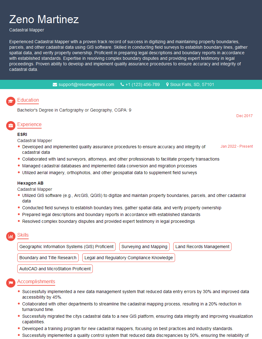
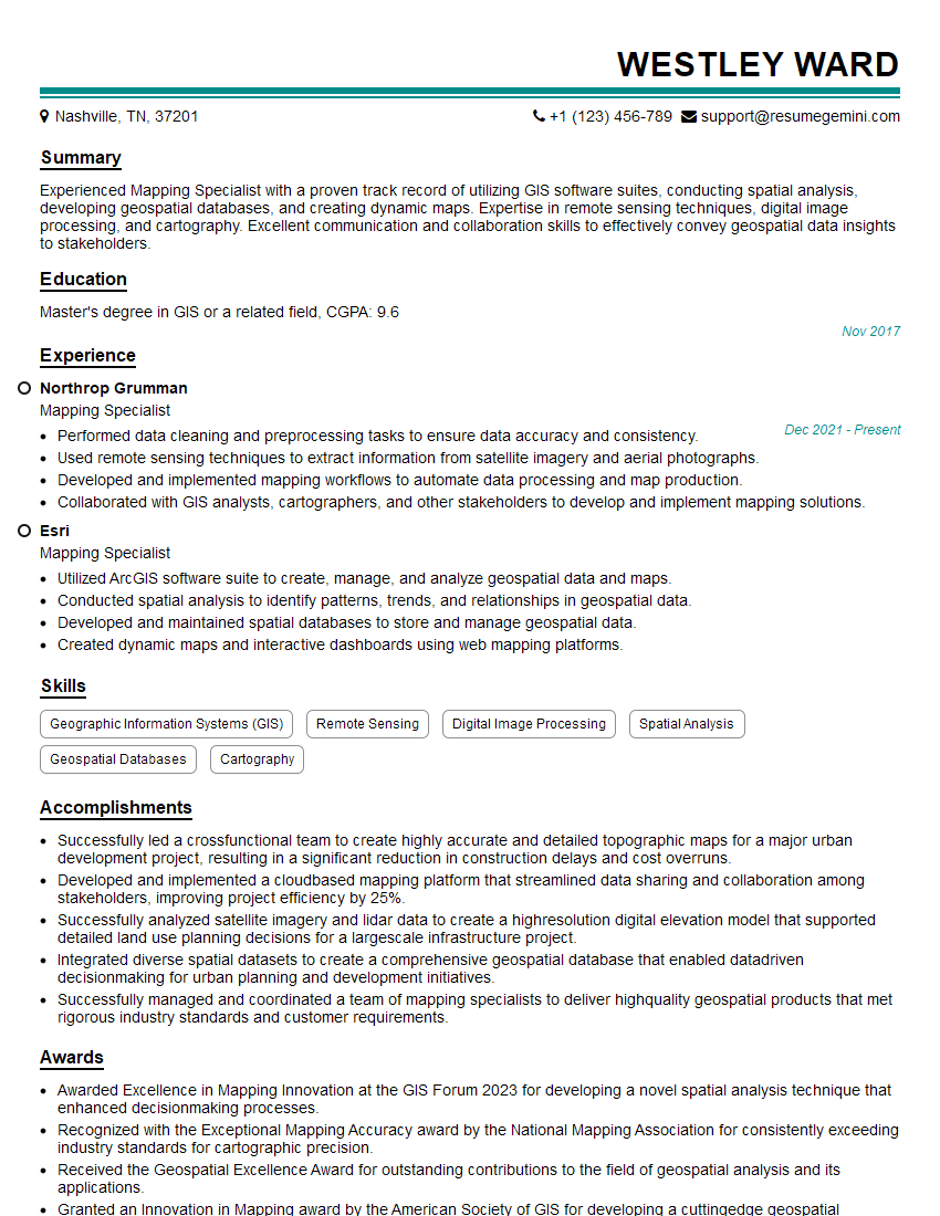
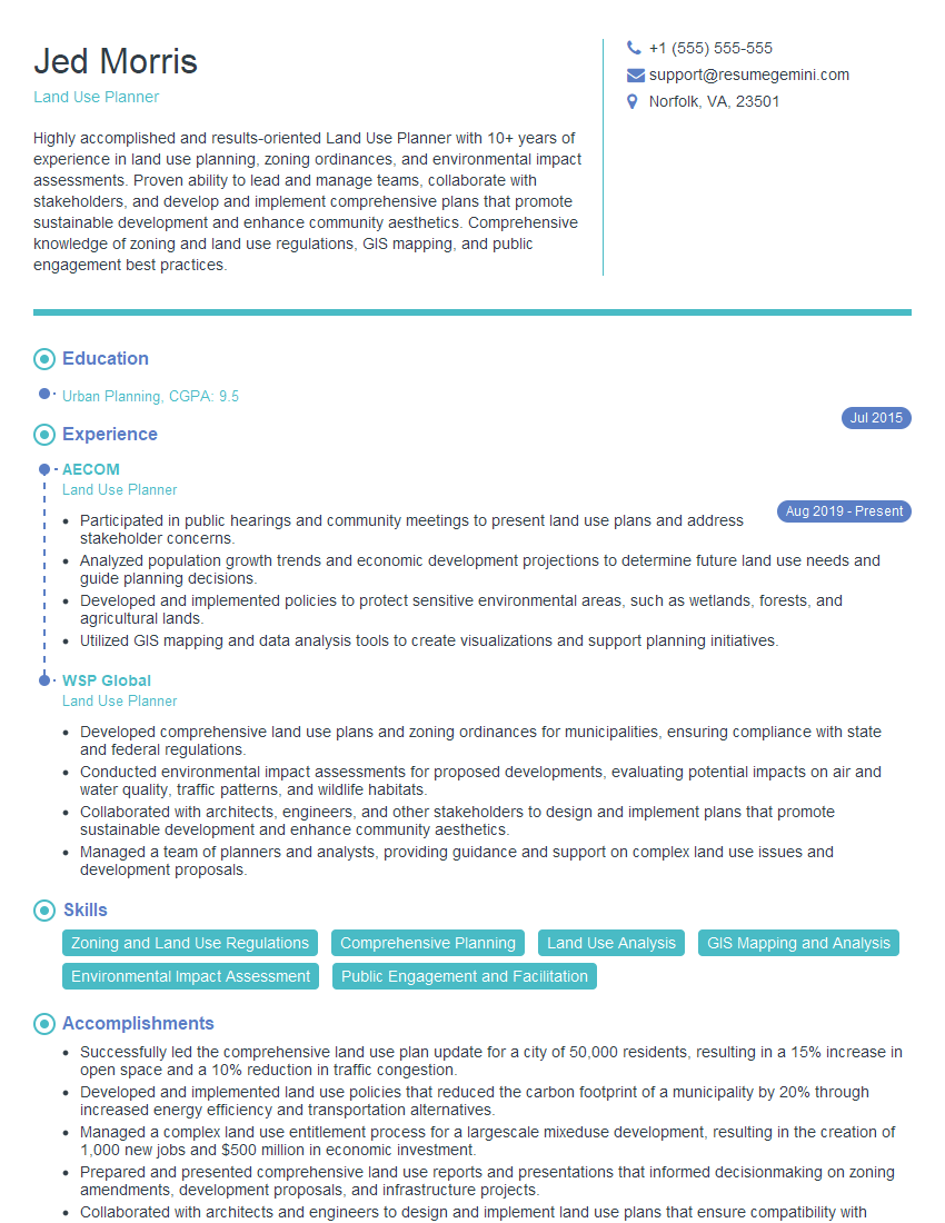
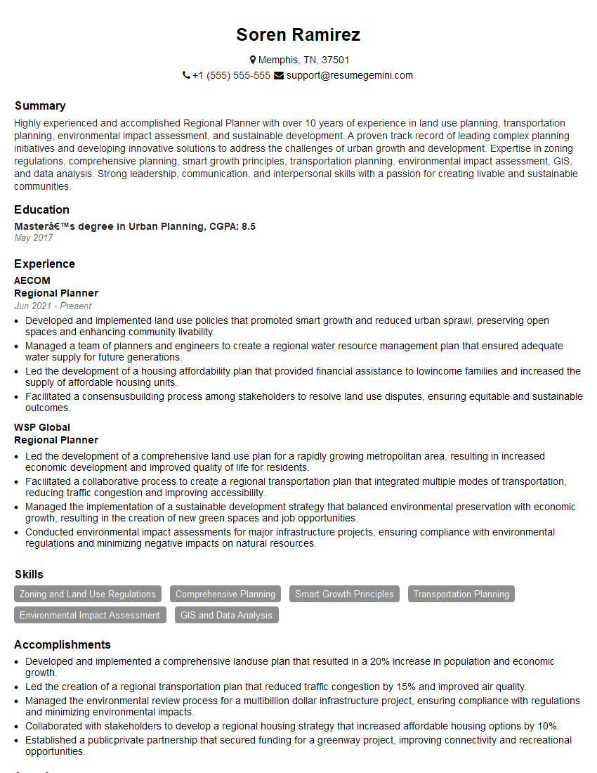
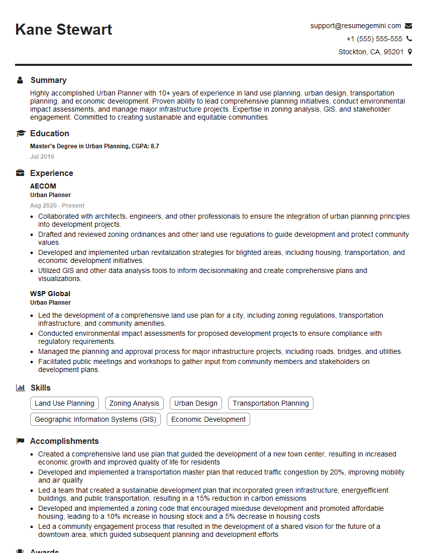
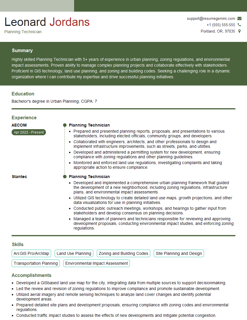
Mastering Zoning Map Creation and Maintenance opens doors to exciting career opportunities in urban planning, land management, and GIS. To maximize your chances of landing your dream job, creating a strong, ATS-friendly resume is crucial. ResumeGemini is a trusted resource that can help you craft a professional and impactful resume tailored to highlight your skills and experience in this specialized field. Examples of resumes specifically designed for Zoning Map Creation and Maintenance professionals are available to help guide you through the process.

Explore more articles
Users Rating of Our Blogs
Share Your Experience
We value your feedback! Please rate our content and share your thoughts (optional).
What Readers Say About Our Blog
To the interviewgemini.com Webmaster.
Very helpful and content specific questions to help prepare me for my interview!
Thank you
To the interviewgemini.com Webmaster.
This was kind of a unique content I found around the specialized skills. Very helpful questions and good detailed answers.
Very Helpful blog, thank you Interviewgemini team.