The thought of an interview can be nerve-wracking, but the right preparation can make all the difference. Explore this comprehensive guide to Zoning Records Management interview questions and gain the confidence you need to showcase your abilities and secure the role.
Questions Asked in Zoning Records Management Interview
Q 1. Explain your experience with different Zoning Records Management Systems (ZRMS).
My experience encompasses a range of Zoning Records Management Systems (ZRMS), from traditional paper-based systems to sophisticated, cloud-based solutions. I’ve worked with systems like Accela Civic Platform, Tyler Munis, and smaller, municipality-specific custom databases. Each system presents unique challenges and advantages. For instance, paper-based systems, while seemingly simple, often suffer from inefficiencies in search and retrieval, and are prone to damage and loss. Modern, digital systems, on the other hand, offer powerful search functionalities, version control, and robust security features, but require careful data migration and user training. My experience includes not only using these systems but also designing, implementing, and optimizing workflows within them to ensure efficient data management and accessibility.
- Paper-based systems: I’ve worked with archiving and digitizing large volumes of paper zoning records, ensuring accurate data entry and metadata tagging for efficient future retrieval.
- Accela Civic Platform: I’ve utilized this system for case management, permit tracking, and public access to zoning information. I’m proficient in configuring workflows and customizing dashboards for optimal performance.
- Tyler Munis: My experience includes using Munis for integrated financial and zoning data management, linking permit fees and revenue streams to zoning approvals.
Q 2. Describe your experience with GIS software in the context of Zoning Records.
GIS (Geographic Information Systems) software is integral to effective zoning records management. It allows us to visualize and analyze spatial data, associating zoning designations with specific geographic locations. I’m experienced with ArcGIS and QGIS, using them to create and maintain zoning maps, perform parcel analysis, and conduct impact assessments for proposed development projects. For example, I’ve used GIS to identify properties affected by zoning changes, assess potential environmental impacts, and streamline the permitting process by automatically identifying overlays and restrictions. The integration of GIS with a ZRMS creates a powerful tool for comprehensive zoning administration. Imagine trying to manually determine which properties are within a flood plain or a historical district; GIS makes that process fast, accurate, and transparent.
Example: Using ArcGIS to create a map layer showing zoning districts overlaid on a base map of parcels.Q 3. How do you ensure the accuracy and integrity of zoning data?
Ensuring data accuracy and integrity is paramount. My approach is multifaceted and includes:
- Data Validation: Implementing rigorous data entry and validation rules within the ZRMS to prevent inconsistencies and errors. This involves checks for data type, range, and consistency.
- Regular Audits: Conducting periodic audits of zoning records, comparing data against physical evidence (property surveys, site visits) and identifying discrepancies.
- Version Control: Utilizing version control systems within the ZRMS to track changes and revert to previous versions if needed. This provides an audit trail and allows for easy rollback in case of mistakes.
- Data Cleaning: Regularly cleaning the data to identify and correct inconsistencies, incomplete data, and duplicates. This could involve addressing inconsistencies in addresses, property descriptions, or zoning designations.
- Staff Training: Providing comprehensive training to staff on data entry procedures and best practices to minimize errors.
Think of it like a meticulous accountant carefully balancing the books—constant vigilance and verification are key to maintaining accurate and reliable records.
Q 4. What methods do you use to maintain and update zoning records?
Maintaining and updating zoning records is an ongoing process that involves:
- Regular Updates: Incorporating new zoning ordinances and amendments into the ZRMS promptly.
- Automated Updates: Leveraging automated data feeds from external sources (e.g., property tax assessors, GIS databases) to update property information and boundaries.
- Workflow Management: Establishing clear workflows for processing zoning applications, permit approvals, and appeals, ensuring consistent data entry and updating.
- Data Reconciliation: Regularly reconciling data between different systems to maintain consistency and avoid discrepancies. This could involve syncing data between the ZRMS, the GIS system, and other related databases.
- Archiving: Regularly archiving obsolete records while retaining them for historical reference and legal compliance.
This is a continuous cycle of updates, checks, and refinements, much like maintaining a living document that accurately reflects the ever-changing landscape of a community’s zoning regulations.
Q 5. How do you handle conflicting or incomplete zoning records?
Handling conflicting or incomplete records requires a methodical approach:
- Investigation: Thoroughly investigating the source of the conflict or incompleteness. This could involve reviewing original documents, contacting property owners, or conducting site visits.
- Data Reconciliation: Reconciling conflicting data with credible sources to determine the most accurate information. This often involves weighing the evidence and prioritizing the most reliable sources.
- Data Correction: Correcting incomplete data through research, updating records based on new findings, and flagging areas where information is still missing.
- Documentation: Meticulously documenting the investigation, reconciliation, and correction processes to create a clear audit trail.
- Communication: Communicating with relevant stakeholders (e.g., property owners, developers, city council) to address any outstanding issues or concerns.
This process is similar to solving a detective mystery – carefully piecing together evidence to arrive at a conclusive and accurate solution.
Q 6. Describe your experience with data migration and conversion related to zoning records.
My experience with data migration and conversion involves moving zoning records from legacy systems to new, more efficient platforms. This process requires careful planning and execution to ensure data integrity and minimal disruption. It involves several stages:
- Data Assessment: Thoroughly assessing the data to identify its structure, content, and quality. This includes identifying potential issues like data inconsistencies or missing information.
- Data Cleansing: Cleaning the data to ensure accuracy and consistency. This could involve standardizing data formats, resolving duplicates, and correcting errors.
- Data Transformation: Transforming the data into a format compatible with the new system. This might involve reformatting data fields or creating new data structures.
- Data Migration: Migrating the data to the new system using appropriate tools and techniques to ensure data integrity and minimize downtime.
- Data Validation: Validating the migrated data to ensure accuracy and completeness.
Think of this as carefully moving furniture from an old house to a new one; every piece needs to be checked, cleaned, and put in the right place.
Q 7. Explain your knowledge of zoning regulations and their impact on record-keeping.
A strong understanding of zoning regulations is fundamental to effective zoning records management. These regulations dictate what types of records must be kept, how they must be organized, and for how long they must be retained. For example, knowledge of specific ordinances regarding setbacks, lot sizes, and permitted uses directly impacts how data is structured and accessed within the ZRMS. Non-compliance can lead to legal issues, inefficiencies, and inaccurate information. Staying current on changes to zoning codes is crucial to ensuring the accuracy and completeness of the records. I regularly review and update my knowledge of local, state, and federal zoning regulations to ensure compliance and accurate record-keeping. My experience includes working with diverse zoning codes and understanding their impact on data organization, access, and retention policies.
Q 8. How do you ensure compliance with data privacy regulations concerning zoning records?
Ensuring compliance with data privacy regulations, like HIPAA or GDPR, in zoning records management is paramount. It’s not just about following the letter of the law; it’s about building public trust. We achieve this through a multi-layered approach.
- Data Minimization: We only collect the minimum necessary personal information, focusing on what’s legally required for zoning processes. For example, instead of storing full addresses, we might use a unique identifier linked to a separate, secure address database.
- Access Control: Strict access controls are implemented. Only authorized personnel with a legitimate need to access sensitive data, such as those involved in permit processing or enforcement, are granted access. Role-based access control (RBAC) is crucial here.
- Data Encryption: Both data at rest (on servers) and data in transit (during transmission) are encrypted using strong encryption algorithms to protect against unauthorized access even if a breach occurs. Think of it like using a secret code to scramble the information.
- Regular Audits and Training: We conduct regular audits to ensure compliance and provide ongoing training to staff on data privacy best practices. This ensures everyone understands their responsibilities and the potential consequences of data breaches.
- Data Retention Policies: Clear data retention policies are in place, specifying how long we keep different types of data. After the retention period, data is securely destroyed or anonymized.
For example, if we’re dealing with applications containing sensitive personal information like health data related to accessibility accommodations, we’d anonymize or redact that information before making the application publicly available, complying with relevant privacy laws while ensuring transparency in the zoning process.
Q 9. What strategies do you employ to improve the efficiency of zoning record retrieval?
Improving the efficiency of zoning record retrieval involves leveraging technology and optimizing workflows. It’s like having a well-organized library instead of a cluttered attic.
- Geographic Information Systems (GIS) Integration: GIS allows for spatial searching and visualization of zoning data. Need to find all properties zoned for residential use within a specific radius? GIS makes it quick and easy.
- Database Optimization: Regular database maintenance, including indexing and optimization, ensures fast search times. Imagine indexing the pages of a book for faster lookup.
- Online Portal with Search Functionality: Providing an online portal with robust search functionalities (keyword search, advanced filtering by criteria like zoning type, address, etc.) empowers users to self-serve, reducing the workload on staff.
- Document Management System (DMS): Implementing a DMS facilitates efficient storage, retrieval, and version control of zoning documents. This means no more searching through piles of paper!
- Workflow Automation: Automating tasks like routing applications or generating reports streamlines the process and reduces manual effort.
For example, a robust online portal allows developers to immediately access zoning maps and regulations relevant to their projects, eliminating phone calls and emails and speeding up the development process.
Q 10. How do you prioritize tasks when managing a high volume of zoning record requests?
Prioritizing a high volume of zoning record requests requires a structured approach. We use a combination of factors to determine urgency.
- Time Sensitivity: Requests with strict deadlines (e.g., court orders, urgent permit applications) are prioritized. These are like urgent medical cases – they need immediate attention.
- Project Impact: Requests related to large-scale developments or projects with significant public impact are given higher priority to minimize delays. These are equivalent to major infrastructure projects that can’t be delayed.
- Legal Requirements: Requests necessitated by legal processes (e.g., discovery requests, subpoenas) take precedence due to legal obligations. We prioritize these like an urgent court order.
- First-Come, First-Served (FCFS) with caveats: While FCFS is a fair system, requests with higher urgency are bumped up. It’s like a queue at a bank, but urgent matters are attended to first.
- Request Type: Simple requests, like obtaining copies of specific zoning maps, might be handled faster than more complex inquiries. We address basic requests quickly, similar to answering simple questions in an FAQ section.
We use a ticketing system to track requests, their status, and assigned personnel, ensuring transparency and accountability. This system allows for effective queue management.
Q 11. Describe your experience with data analysis and reporting from zoning records.
Data analysis and reporting from zoning records are critical for informed decision-making. We use data to identify trends, assess the effectiveness of policies, and improve our services.
- Trend Analysis: We analyze zoning permit applications over time to identify trends in development patterns and types. This can reveal shifts in housing demands or business interests.
- Policy Evaluation: We analyze data to evaluate the effectiveness of zoning regulations and identify areas for improvement. For example, we might assess the impact of a new zoning policy on housing affordability.
- Resource Allocation: We use data to inform resource allocation decisions. By identifying areas with high demand for permits, we can better allocate staff to handle the workload.
- Compliance Monitoring: We monitor data for compliance issues, such as properties operating outside of their permitted zoning classifications. This helps ensure fair application of the zoning regulations.
- Data Visualization: We use data visualization tools (charts, maps) to effectively communicate findings to stakeholders. This makes data more accessible and understandable.
For instance, we might create a report showing the number of building permits issued per zone over the past five years, highlighting areas experiencing rapid growth or decline. This data then informs decisions on infrastructure upgrades or policy adjustments.
Q 12. How do you identify and resolve discrepancies in zoning data?
Identifying and resolving discrepancies in zoning data requires careful investigation and a systematic approach.
- Data Validation: Regular data validation checks are crucial. This involves comparing data against other reliable sources, such as official surveys or property tax records.
- Cross-referencing: We cross-reference data from different sources to identify inconsistencies. For example, comparing zoning maps with property records can highlight discrepancies.
- Field Verification: In cases where data discrepancies cannot be resolved through internal checks, we conduct field verification, going on-site to confirm the zoning status.
- Data Reconciliation: We use data reconciliation processes to resolve identified discrepancies. This involves updating records, correcting errors, and documenting changes.
- Version Control: Tracking changes and versions to zoning records is key to understand how and why data evolved, as well as to help troubleshoot inconsistencies.
For example, if we find a conflict between the zoning map and a property deed, we investigate by contacting the property owner, reviewing historical records, and potentially conducting a site visit to confirm the correct zoning classification.
Q 13. Explain your understanding of metadata management within a zoning record system.
Metadata management is crucial for the efficient organization and retrieval of zoning records. It’s like creating a detailed table of contents and index for a library.
- Descriptive Metadata: This includes information like the date of creation, document title, author, and keywords. This allows for easy searchability and categorization.
- Structural Metadata: This describes the organization and relationships between different data elements within a record. For example, linking a zoning permit to its associated property record.
- Administrative Metadata: This covers information about the record’s lifecycle, such as its creation date, modification history, and retention policy. This is helpful for tracking version control and ensuring compliance.
- Spatial Metadata (for GIS data): This includes information about the geographic location and projection of spatial data. This is essential for GIS analysis.
Effective metadata management ensures that zoning records are easily discoverable and usable. Without it, searching for information can be like looking for a needle in a haystack.
Q 14. How do you use technology to improve access to and management of zoning records?
Technology plays a vital role in improving access to and management of zoning records. We leverage several tools to streamline operations and enhance user experience.
- Geographic Information Systems (GIS): GIS software provides interactive maps, allowing users to visualize zoning boundaries, search for properties by location, and analyze spatial patterns.
- Document Management System (DMS): A DMS provides centralized storage, version control, and search capabilities for all zoning documents.
- Online Portals: User-friendly online portals allow for self-service access to zoning information, including maps, regulations, and application forms.
- Database Management Systems (DBMS): DBMS ensures efficient storage, retrieval, and analysis of zoning data. We use structured query language (SQL) to query and manipulate data.
- Workflow Automation Tools: These tools automate tasks like routing applications, generating reports, and notifying stakeholders, improving efficiency and reducing errors.
For instance, our online portal allows citizens to check zoning regulations for their property, submit permit applications online, and track the progress of their applications, eliminating the need for in-person visits and reducing wait times. The DMS ensures that all permits and related documents are readily accessible, facilitating both internal workflow and public access to information.
Q 15. What are your strategies for organizing and archiving zoning records?
Organizing and archiving zoning records requires a multi-faceted approach focusing on efficient retrieval, data integrity, and long-term preservation. My strategy begins with a robust classification system, typically using a hierarchical structure based on geographic location (e.g., by zoning district, then parcel ID), property type, and record type (e.g., permits, appeals, variances). This allows for quick and easy access to specific records.
- Digitalization: All new records are scanned and stored digitally using a document management system (DMS). This reduces storage space, improves accessibility, and simplifies searches. Optical Character Recognition (OCR) is employed to make the text searchable within the DMS.
- Metadata Tagging: Each record is meticulously tagged with relevant metadata, including date, location, document type, and keywords. This enables advanced searching and filtering capabilities.
- Data Validation: Regular data audits and validation checks ensure data accuracy and consistency. We utilize automated processes to identify inconsistencies and potential errors.
- Archiving Strategy: A long-term archiving strategy involves regularly backing up data to offsite, secure locations. We follow a tiered approach, with frequently accessed records stored on faster servers, while less frequently accessed records are archived to cloud storage or other robust systems.
For example, in a previous role, I implemented a new DMS that reduced record retrieval time by 60% and significantly improved staff efficiency.
Career Expert Tips:
- Ace those interviews! Prepare effectively by reviewing the Top 50 Most Common Interview Questions on ResumeGemini.
- Navigate your job search with confidence! Explore a wide range of Career Tips on ResumeGemini. Learn about common challenges and recommendations to overcome them.
- Craft the perfect resume! Master the Art of Resume Writing with ResumeGemini’s guide. Showcase your unique qualifications and achievements effectively.
- Don’t miss out on holiday savings! Build your dream resume with ResumeGemini’s ATS optimized templates.
Q 16. Describe your experience with spatial data analysis techniques relevant to zoning.
Spatial data analysis is crucial for understanding zoning patterns and their impact. My experience includes using Geographic Information Systems (GIS) software, such as ArcGIS and QGIS, to analyze zoning data. I’m proficient in techniques such as:
- Overlay Analysis: This allows for the comparison of zoning maps with other spatial datasets, like population density or environmental features, to identify potential conflicts or opportunities.
- Buffer Analysis: I use buffer analysis to determine the proximity of properties to sensitive areas (e.g., schools, wetlands) and assess the impact of zoning regulations.
- Spatial Statistics: Techniques like hotspot analysis help to identify clusters of similar zoning classifications or permit applications, revealing potential trends or anomalies.
- Map Algebra: This enables the creation of custom zoning maps reflecting various scenarios or policy changes, offering powerful ‘what-if’ analysis for decision-making.
For instance, in one project, I used GIS to analyze the impact of a proposed zoning change on traffic flow, resulting in adjustments that minimized disruption.
Q 17. How do you handle requests for zoning information from the public and other stakeholders?
Handling public requests for zoning information requires a transparent and efficient system. My approach involves:
- User-Friendly Online Portal: Providing easily accessible online resources, including interactive maps, frequently asked questions, and searchable databases.
- Standardized Response Protocol: Implementing a clear process for handling requests, whether they arrive via phone, email, or in person. This includes acknowledging receipt, providing estimated response times, and offering alternative methods of access if appropriate.
- Data Redaction and Privacy: Ensuring compliance with privacy regulations by appropriately redacting sensitive information before releasing records.
- Communication: Providing clear and concise information, tailored to the user’s level of understanding. Complex technical details are explained in plain language.
For example, I developed a user-friendly online portal that reduced the number of phone inquiries related to basic zoning information by 40%.
Q 18. Describe your experience with implementing new zoning record management systems.
Implementing new zoning record management systems involves careful planning and execution. My experience includes:
- Needs Assessment: Thoroughly analyzing current workflows and identifying areas for improvement.
- Software Selection: Evaluating available software options based on functionality, scalability, cost, and integration with existing systems.
- Data Migration: Developing a robust strategy for migrating existing data to the new system, minimizing data loss and ensuring data integrity. This often involves rigorous quality control and data cleansing steps.
- Training and Support: Providing comprehensive training to staff on the new system and offering ongoing technical support.
- Change Management: Communicating changes effectively and managing staff expectations throughout the implementation process.
In one case, I led the implementation of a new GIS-integrated zoning system, which resulted in a 25% reduction in processing time for permit applications.
Q 19. What are your strategies for maintaining data security within a zoning record system?
Data security is paramount in zoning record management. My strategies include:
- Access Control: Implementing robust access control measures, restricting access to sensitive data based on user roles and responsibilities.
- Data Encryption: Encrypting data both in transit and at rest to protect against unauthorized access.
- Regular Security Audits: Conducting regular security audits and penetration testing to identify and address vulnerabilities.
- Compliance: Ensuring compliance with relevant data privacy regulations, such as GDPR or CCPA.
- Backup and Disaster Recovery: Implementing robust backup and disaster recovery procedures to protect against data loss in case of system failure or cyberattack.
For example, I implemented multi-factor authentication and enforced strong password policies, significantly reducing the risk of unauthorized access.
Q 20. How do you collaborate with other departments to ensure accurate and up-to-date zoning information?
Collaboration with other departments is essential for maintaining accurate and up-to-date zoning information. My approach includes:
- Data Sharing Agreements: Establishing formal data sharing agreements with relevant departments, such as public works, building permits, and planning, to ensure consistent data across systems.
- Joint Training: Providing joint training sessions to staff from different departments to improve understanding and streamline workflows.
- Regular Meetings: Holding regular meetings to discuss data updates, address inconsistencies, and identify potential conflicts.
- Integrated Systems: Promoting the use of integrated systems that allow different departments to access and update zoning data in a shared environment.
For instance, I worked with the public works department to integrate their utility mapping data with the zoning system, improving the accuracy of development permit reviews.
Q 21. How familiar are you with zoning map creation and maintenance?
I am highly familiar with zoning map creation and maintenance. My experience involves using GIS software to create and update zoning maps, ensuring accuracy and compliance with legal requirements. This includes:
- Data Input: Entering and verifying zoning data using various sources, including survey data, parcel maps, and legal descriptions.
- Map Editing: Editing and updating zoning maps based on changes in zoning ordinances, boundary adjustments, or other modifications.
- Quality Control: Implementing rigorous quality control measures to ensure map accuracy and consistency.
- Data Integration: Integrating zoning maps with other spatial datasets, such as parcel maps, address points, and topographic data.
- Map Publication: Preparing maps for publication in various formats, including print and online versions.
For example, I led the complete redevelopment of a city’s zoning map using the latest GIS technologies, which improved the clarity and accuracy of the map significantly, facilitating easier public access and informed decision-making.
Q 22. Explain your experience with different data formats used in zoning records (e.g., shapefiles, geodatabases).
My experience encompasses a wide range of data formats commonly used in zoning records management. I’m proficient in working with both vector and raster data. Vector data, representing spatial features as points, lines, and polygons, is crucial for zoning. I have extensive experience with shapefiles, a widely used geospatial vector data format, and geodatabases, a more robust and complex format offered by Esri’s ArcGIS system that allows for greater data management and relational capabilities. I’ve also worked with GeoJSON, a lightweight and increasingly popular format for representing geographic data as JSON objects, which is beneficial for web mapping and data exchange. For instance, in one project, we migrated legacy zoning data from shapefiles into a geodatabase to improve data integrity and enable more sophisticated spatial analysis. The geodatabase allowed us to incorporate attribute data related to zoning regulations, enabling streamlined queries and reports. Understanding the strengths and limitations of each format is key to choosing the right one for the specific task.
Q 23. Describe your experience with data validation and quality control techniques.
Data validation and quality control are paramount in zoning records management. Inaccurate data can lead to costly errors in planning and development. My approach involves a multi-step process. First, I conduct metadata checks to ensure that the data is properly documented and its origin and accuracy are understood. Next, I perform spatial validation, verifying geometric consistency and topological relationships (e.g., ensuring that polygons don’t overlap incorrectly). I utilize tools that identify spatial errors like sliver polygons or gaps. Attribute validation is another crucial step, where I check the accuracy and completeness of attribute data using techniques like range checks, consistency checks, and data type validation. For example, I might verify that zoning codes are consistent across the dataset and conform to established standards. I also perform data comparisons against reliable external sources like tax assessment maps to identify discrepancies. Finally, I document all quality control procedures and findings. In one instance, this rigorous process uncovered an error in a significant parcel’s zoning designation, preventing a potential development conflict.
Q 24. How do you handle zoning record audits and compliance checks?
Zoning record audits and compliance checks are essential to ensure data accuracy and adherence to legal requirements. My approach follows a structured methodology. First, I define the scope of the audit based on regulatory requirements and organizational objectives. Next, I develop a detailed checklist covering data completeness, accuracy, and consistency across various data elements. I then perform a systematic review of the zoning records against this checklist. This may involve manual checks or automated scripts, depending on the data volume and complexity. Any discrepancies or inconsistencies are documented and investigated. For instance, I might compare zoning records against approved zoning maps and ordinances to identify outdated or conflicting information. The audit report summarizes the findings, including the identified issues and recommendations for corrective action. Following the audit, the identified issues are rectified, and a follow-up audit ensures the corrective actions are effective. These processes ensure compliance with both internal standards and external regulations.
Q 25. How do you communicate complex zoning information to non-technical audiences?
Communicating complex zoning information to non-technical audiences requires clear, concise, and visually engaging methods. I avoid technical jargon and use plain language. I leverage visual aids such as maps, charts, and infographics to simplify complex data. For instance, a map highlighting different zoning districts with clear color-coding is far more effective than a lengthy written explanation. I also tailor my communication style to the audience. When speaking to a community group, I use simple language and analogies, while presentations to planning commissioners might include more technical detail. Interactive presentations and online tools that allow users to explore zoning data on their own can also be very effective.
Q 26. What are your experience with using zoning records for analysis, planning, and reporting?
Zoning records are a rich source of information for analysis, planning, and reporting. I have extensive experience using these records for various purposes, including impact assessments (e.g., evaluating the environmental impact of a proposed development), urban planning (e.g., identifying areas suitable for different land uses), and compliance monitoring (e.g., tracking development permits and ensuring compliance with zoning regulations). I utilize spatial analysis techniques like overlay analysis and buffer analysis to derive meaningful insights. For example, I might overlay zoning data with demographic data to identify areas with housing shortages or assess the proximity of new developments to sensitive environmental features. Data visualization is crucial in communicating these analyses effectively to decision-makers. Reports are tailored to different stakeholders, highlighting relevant aspects of the analysis based on their specific needs.
Q 27. Describe your experience with integrating zoning data with other datasets (e.g., property records, parcel data).
Integrating zoning data with other datasets is crucial for comprehensive analysis and decision-making. I have experience integrating zoning data with property records, parcel data, tax assessment data, and environmental data. This integration enables a more holistic view of a given area. For example, combining zoning data with property records allows analysis of property values in different zoning districts, identifying areas ripe for redevelopment. Integrating with environmental data helps in assessing the impact of proposed developments on natural resources and avoiding conflicts with environmental regulations. The integration process often involves using spatial joins, attribute joins, or other data manipulation techniques depending on the nature of the data. Databases such as PostgreSQL/PostGIS and spatial extensions in R are often used for this task. A crucial element is to ensure consistent data schemas across datasets for effective joins and analysis.
Q 28. Explain your familiarity with different types of zoning regulations and their implications for records management.
My understanding of zoning regulations and their implications for records management is comprehensive. I am familiar with various zoning types, including residential, commercial, industrial, agricultural, and mixed-use zoning. Each type has unique requirements for data capture and management. For example, residential zoning might necessitate meticulous recording of lot sizes, building heights, and density restrictions, while industrial zoning might involve details about permitted uses and environmental regulations. Furthermore, understanding zoning amendments, variances, and special use permits is vital for accurate records management. These changes must be carefully documented to maintain data integrity. Keeping abreast of legal changes and ensuring that zoning records reflect the most current regulations is an ongoing responsibility. Failing to do so can lead to inaccurate information and legal complications. A strong understanding of these regulations informs my approach to data validation, quality control, and auditing, ensuring data accuracy and legal compliance.
Key Topics to Learn for Zoning Records Management Interview
- Understanding Zoning Ordinances and Regulations: Thoroughly grasp the legal framework governing zoning, including permitted uses, setbacks, density regulations, and variances. Practice interpreting complex zoning maps and regulations.
- Record Keeping and Data Management: Explore best practices for organizing, storing, and retrieving zoning records, including digital and physical archives. Consider the use of GIS systems and database management for efficient record-keeping.
- Data Analysis and Reporting: Learn how to extract meaningful insights from zoning data. Practice creating reports and visualizations to communicate complex information effectively to various stakeholders.
- Public Access and Information Dissemination: Understand the importance of providing clear and accessible information to the public regarding zoning regulations and records. Explore methods for effective communication and public engagement.
- Workflow and Process Improvement: Analyze existing zoning record management processes and identify areas for improvement in terms of efficiency, accuracy, and accessibility. Consider the implementation of new technologies or workflows.
- Compliance and Enforcement: Familiarize yourself with the procedures for ensuring compliance with zoning regulations and handling violations. Understand the role of zoning records in enforcement actions.
- Technology and Software Proficiency: Demonstrate familiarity with relevant software and technologies used in zoning records management, such as GIS software, database management systems, and document management systems.
Next Steps
Mastering Zoning Records Management opens doors to rewarding careers in urban planning, land development, and government agencies. It demonstrates your ability to manage complex data, interpret regulations, and contribute to efficient and compliant land use practices. To maximize your job prospects, it’s crucial to create a compelling and ATS-friendly resume that highlights your skills and experience effectively. ResumeGemini is a trusted resource that can help you craft a professional resume tailored to your specific experience and target roles. Examples of resumes tailored to Zoning Records Management are available to further assist your preparation.
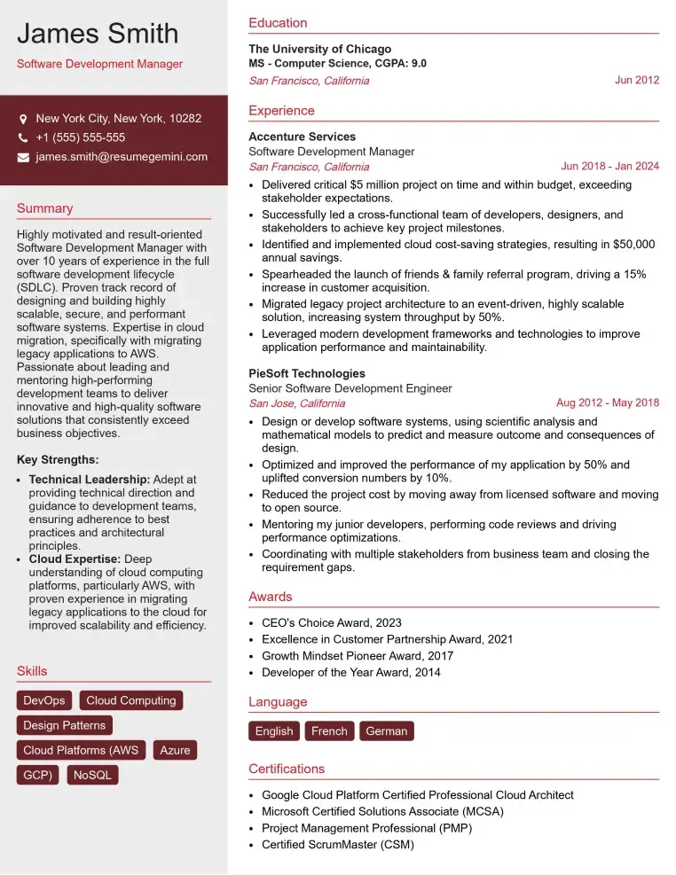
Check Out Resume Samples at ResumeGemini

Check Out Resume Samples at ResumeGemini
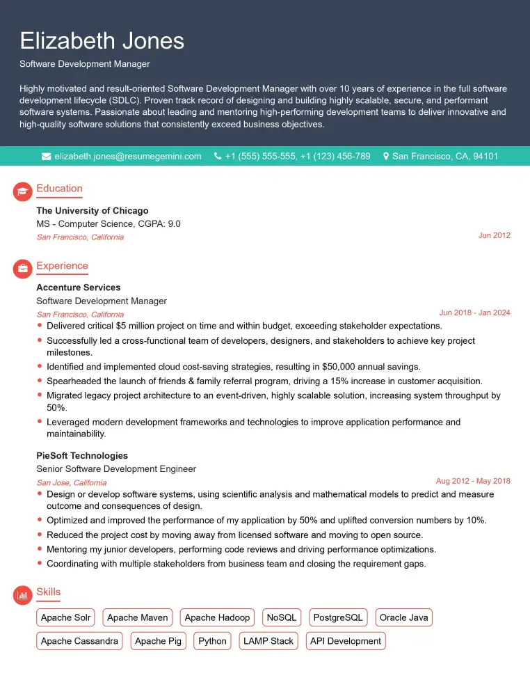
Check Out Resume Samples at ResumeGemini

Check Out Resume Samples at ResumeGemini
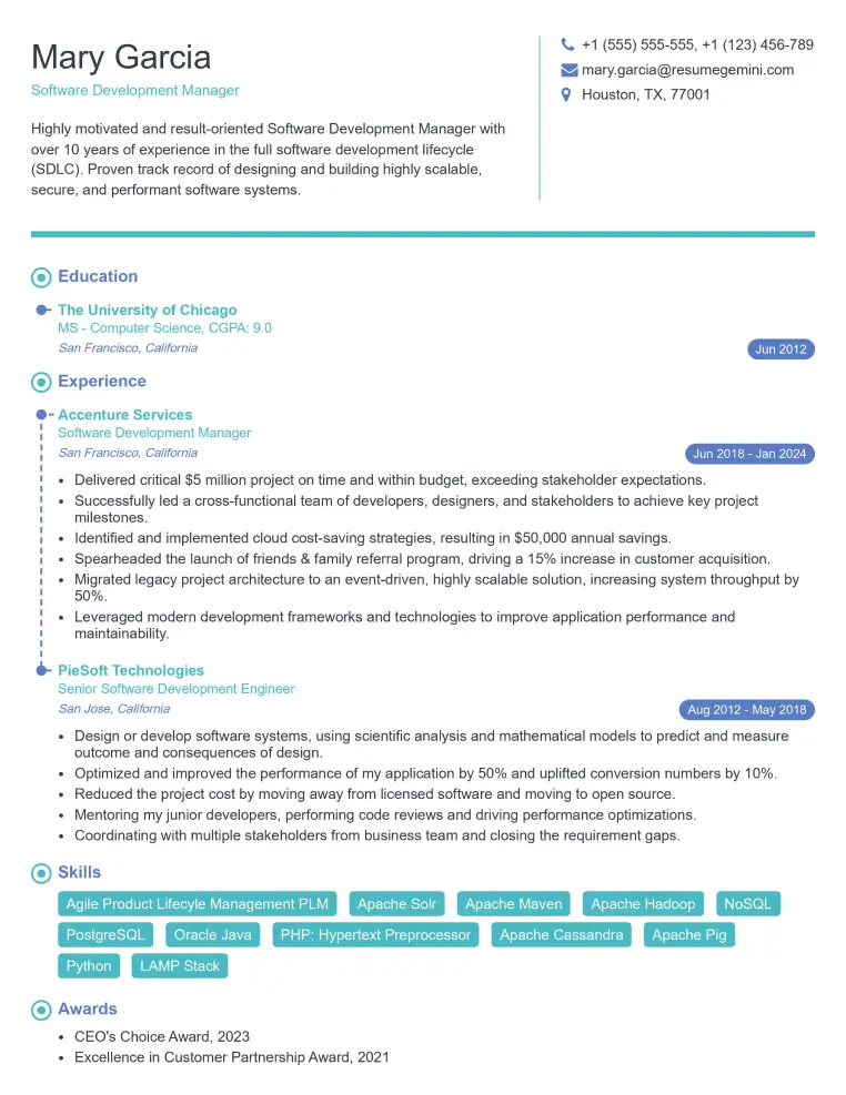
Check Out Resume Samples at ResumeGemini
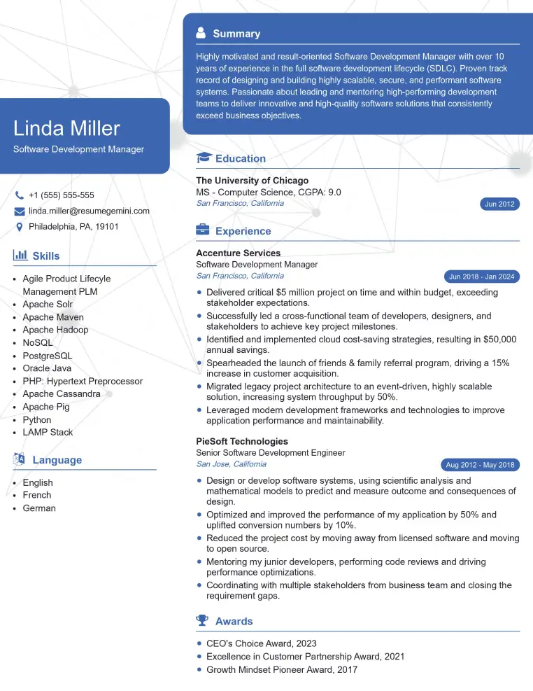
Check Out Resume Samples at ResumeGemini
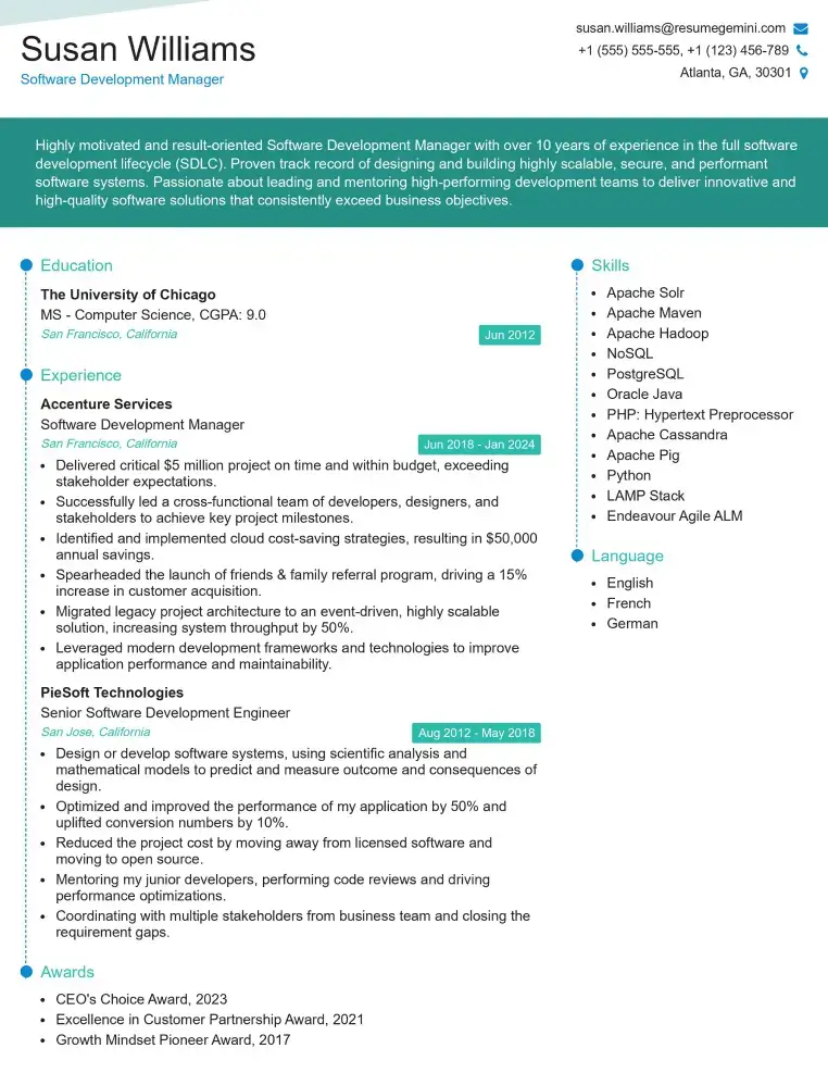
Check Out Resume Samples at ResumeGemini
Explore more articles
Users Rating of Our Blogs
Share Your Experience
We value your feedback! Please rate our content and share your thoughts (optional).
What Readers Say About Our Blog
To the interviewgemini.com Webmaster.
Very helpful and content specific questions to help prepare me for my interview!
Thank you
To the interviewgemini.com Webmaster.
This was kind of a unique content I found around the specialized skills. Very helpful questions and good detailed answers.
Very Helpful blog, thank you Interviewgemini team.